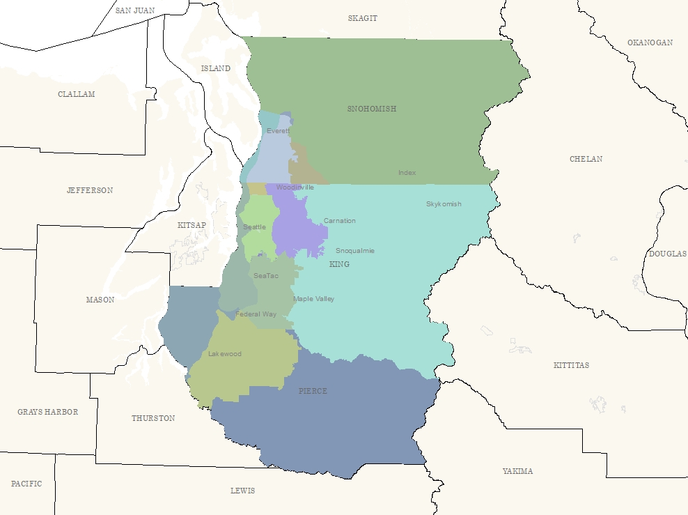
A color-coded regional map of the greater Seattle/Puget Sound area showing King, Pierce, and Snohomish counties with labeled cities including Seattle, SeaTac, Federal Way, Everett, Lakewood, Snoqualmie, Carnation, and others. Surrounding counties including Kitsap, Thurston, Mason, Skagit, and Kittitas are also visible but unshaded, suggesting this map delineates a specific study or policy area relevant to the region.Open full document
Notes
A color-coded regional map of the greater Seattle/Puget Sound area showing King, Pierce, and Snohomish counties with labeled cities including Seattle, SeaTac, Federal Way, Everett, Lakewood, Snoqualmie, Carnation, and others. Surrounding counties including Kitsap, Thurston, Mason, Skagit, and Kittitas are also visible but unshaded, suggesting this map delineates a specific study or policy area relevant to the region.