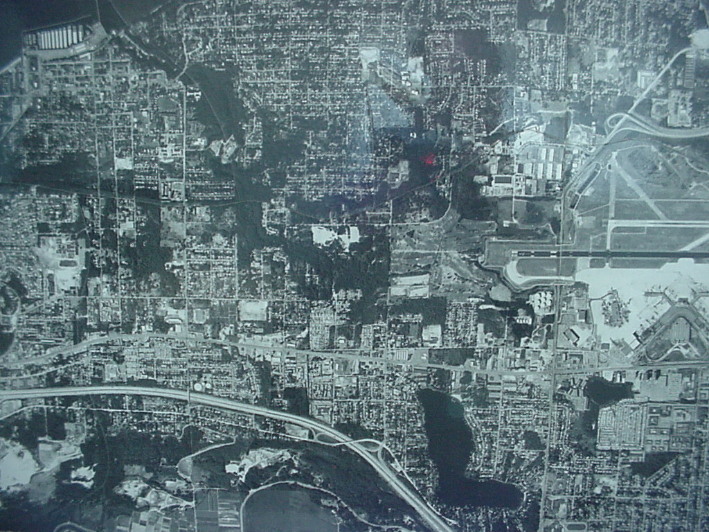
Black-and-white aerial photograph showing a densely developed urban grid with residential and commercial areas. A runway complex is visible in the upper right quadrant, and a river or waterway curves through the lower portion of the image, consistent with an airport noise study context.Open full document
Notes
Black-and-white aerial photograph showing a densely developed urban grid with residential and commercial areas. A runway complex is visible in the upper right quadrant, and a river or waterway curves through the lower portion of the image, consistent with an airport noise study context.