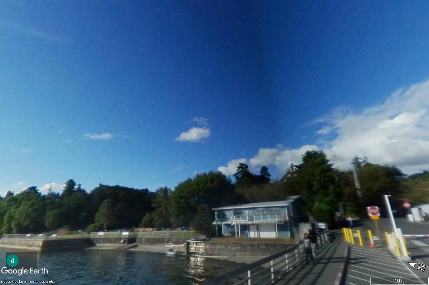
A Google Earth ground-level image shows a waterfront dock area with a two-story glass-fronted building, a seawall, yellow bollards, a stop sign, and trees on a hillside under a blue sky. The Google Earth watermark and scale bar (10 ft) are visible; no Sea-Tac Airport or noise-policy-related content is present in this image.Open full document
Notes
A Google Earth ground-level image shows a waterfront dock area with a two-story glass-fronted building, a seawall, yellow bollards, a stop sign, and trees on a hillside under a blue sky. The Google Earth watermark and scale bar (10 ft) are visible; no Sea-Tac Airport or noise-policy-related content is present in this image.