TagAirport Expansion(165)
-
 2011-01-06
Over My Head: An activist group fights an airport expansion
Over My Head, written by Debi Wagner and published in 2011, is a personal account of a grassroots activist group's fight against a Sea-Tac Airport expansion. The book explores the community's struggle with toxic aircraft emissions and an unusually high number of cancer deaths among nearby residents. It blends personal narrative with environmental advocacy, documenting the health and quality-of-life impacts of airport noise and pollution on surrounding neighborhoods. -
 2007-09-10
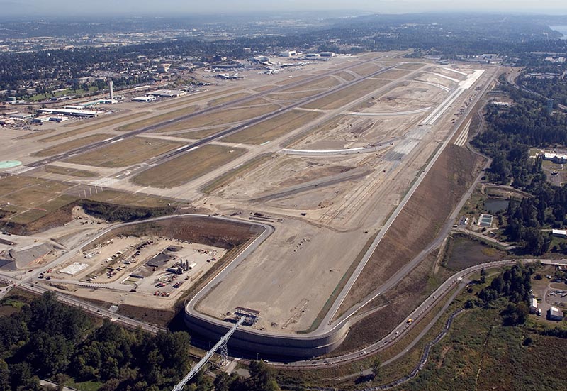
Aerials of Sea-Tac Airport’s Third Runway construction, 10 September 2007.
Aerial photograph showing the construction of Seattle-Tacoma International Airport's third runway (16C/34C) under development. The image shows the new runway under construction to the east of the existing parallel runways, with surrounding residential and forested areas of the SeaTac/Des Moines area visible. -
 2002-06-03
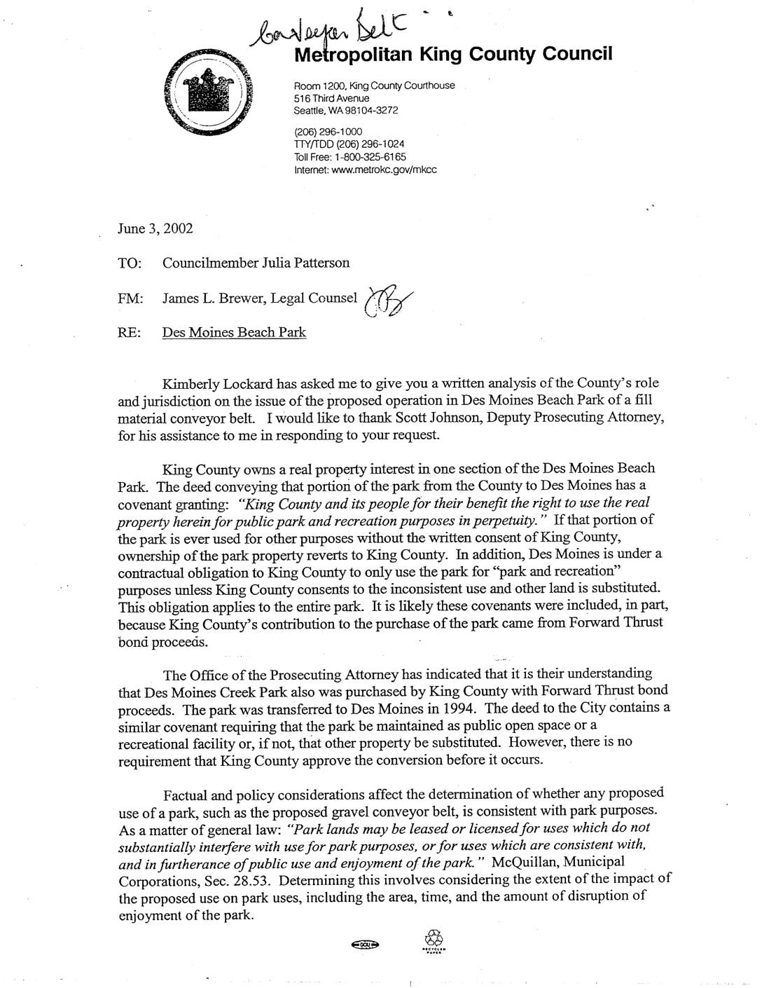
Des Moines Beach Park Legal Analysis and Department of Ecology Letter on Third Runway Fill Material
Legal memorandum analyzing King County’s role in proposed Des Moines Beach Park conveyor belt operation, including property rights and park use restrictions. Includes Department of Ecology letter clarifying fill material certification requirements for Port of Seattle’s third runway construction. -
 2002-05-01
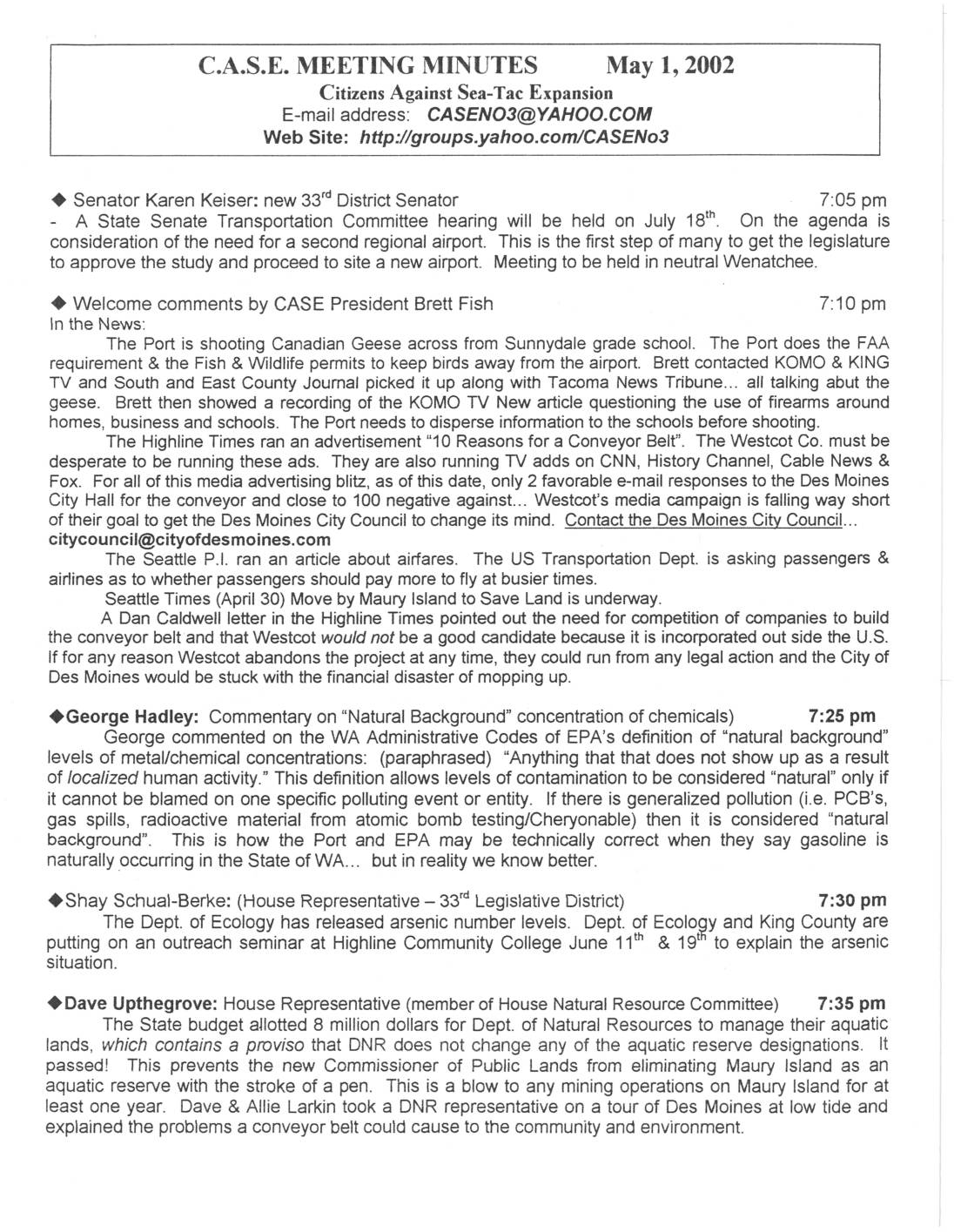
C.A.S.E. MEETING MINUTES May 1, 2002
Meeting minutes from Citizens Against Sea-Tac Expansion discussing various airport-related issues including geese shooting near schools, conveyor belt project opposition, arsenic contamination concerns, and updates from local representatives on legislative matters and environmental issues. Karen Keiser. Dave Upthegrove. Brett Fish. -
 2002-01-01
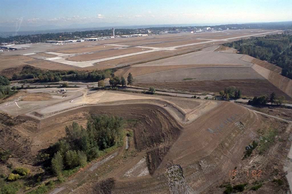
Sea-Tac Airport Third Runway Embankment Construction Earthwork (2002)
Aerial photograph showing large-scale earthwork and grading operations during construction of Seattle-Tacoma International Airport's third runway (Runway 16C/34C). The image shows the runway surface and surrounding excavated terrain, with the existing airport facilities and control tower visible in the background. -
 2001-07-04
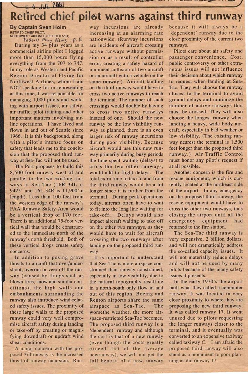
Retired chief pilot warns against third runway
A retired Northwest Airlines chief pilot with over 15,000 flight hours argues against the construction of a proposed third runway at Seattle-Tacoma International Airport, citing serious safety concerns including runway incursion risks, wind shear hazards from surrounding walls, and complications for fire and rescue operations. He contends that pilots will avoid the new runway because it is shorter and farther from the terminal than existing runways, meaning it will do little to reduce delays or increase capacity. Drawing a parallel to an unused commuter runway built at Sea-Tac in the 1970s, he warns that the $2 billion project will become a costly monument to poor planning. -
 2001-07-01
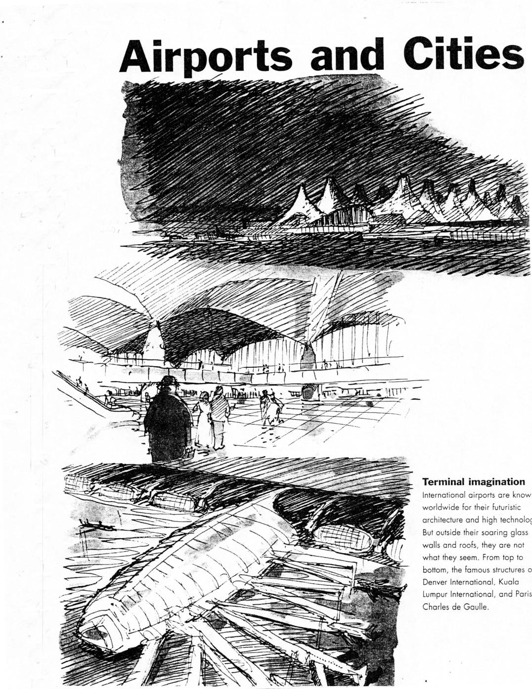
Airports and Cities: Can they coexist?
This 2001 World Watch article by Ed Ayres examines the growing conflict between expanding airports and the cities surrounding them, highlighting the serious health, environmental, and noise impacts on nearby residents. It challenges the conventional mindset of simply building more airport capacity, noting that a 747 takeoff produces as much air pollution in two minutes as 3,000 cars, and that people living near airports face higher rates of illness and psychological harm. The article explores innovative design alternatives, such as inclined runways and energy-recovering landing systems, as more sustainable solutions to meeting rising air travel demand. -
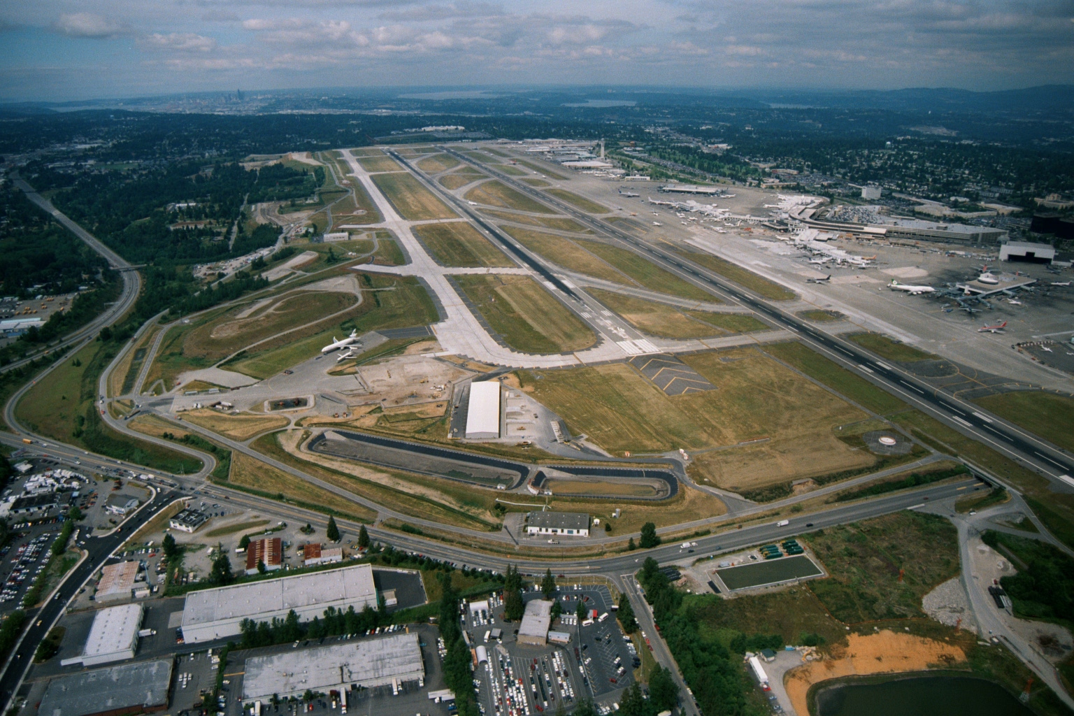
Sea-Tac Airport Aerial View Showing Parallel Runways, Terminal Complex, and Seattle Skyline
Aerial photograph looking northward over Seattle-Tacoma International Airport showing the parallel runway configuration, terminal complex with aircraft at gates on the right, and the downtown Seattle skyline visible in the upper left background. The image appears to date from a period when the third runway (center-left) was under construction or newly completed, consistent with Sea-Tac's mid-to-late 1990s or early 2000s expansion era. -
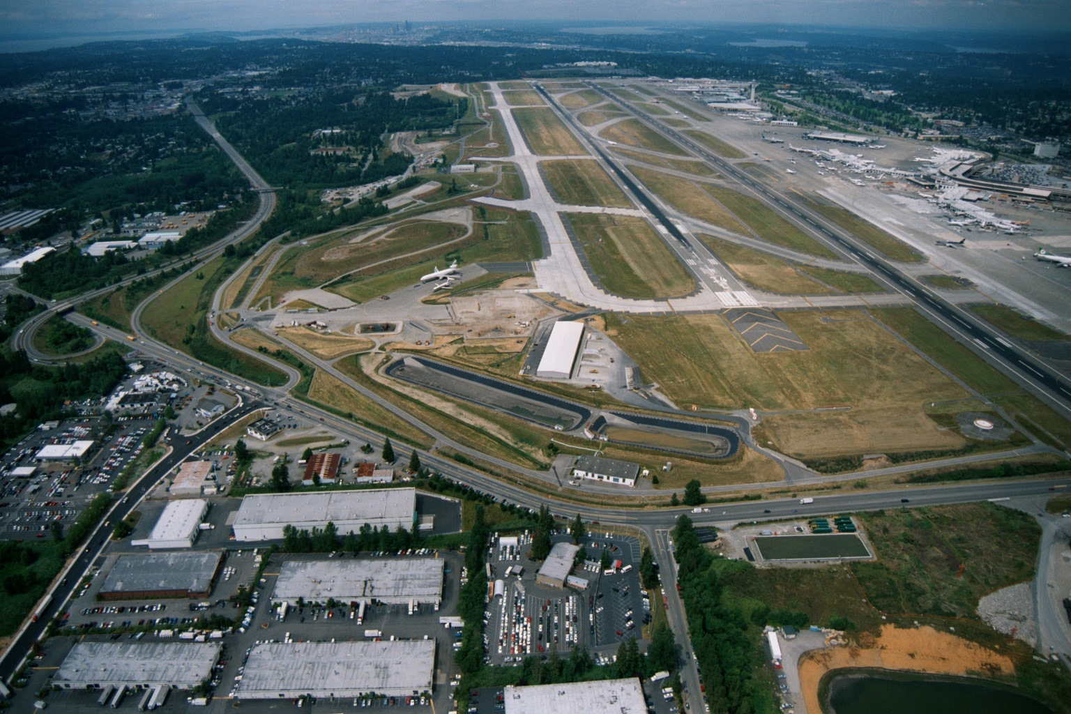
Sea-Tac Airport Aerial View Looking North, with Parallel Runways, Terminal Gates, and Seattle Skyline
Aerial photograph looking northward over Seattle-Tacoma International Airport (Sea-Tac), showing the parallel runway configuration, terminal gates with aircraft at jetways, surrounding industrial/commercial development, and the Seattle skyline and Puget Sound visible in the background. The image appears to date from the late 1980s or 1990s based on the airport layout and visible construction activity near the airfield. -
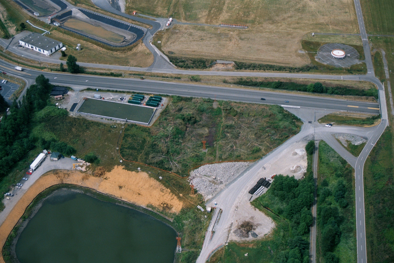
Aerial View of Highway Intersection With Construction Activity and Retention Pond Near Airport Facilities
Aerial photograph showing a highway intersection with construction or land-clearing activity, a retention pond, green containment structures, and what appears to be industrial or airport-related facilities. No visible text, logos, or date information is present in the image.