TagAirport Expansion(171)
-
1989-05-01
Airport Capacity Enhancement Plan 1989
The 1989 Airport Capacity Enhancement Plan, produced by the FAA and U.S. Department of Transportation, outlines efforts to increase airport capacity and efficiency across the U.S. air system without compromising passenger safety or the environment. It identifies causes of capacity and delay problems, projects the impact of increased air traffic over the following decade, and describes planned projects covering airport development, airspace procedures, new equipment, and capacity planning studies. Note: this document addresses national airport capacity issues broadly and does not focus specifically on Sea-Tac Airport or local noise policy. -
1985-09-01
Master plan update for Sea-Tac International Airport: Final report
This 1985 Master Plan Update, prepared by Peat Marwick/TRA for the Port of Seattle, outlines the long-term development strategy for Sea-Tac International Airport to handle projected growth in air traffic through the early 2000s. The plan rules out construction of new runways due to existing capacity, prior investment, and environmental concerns, while recommending expansion of the passenger terminal complex to accommodate up to 55 air carrier gates and 25 commuter airline gates. Planning activity levels projected total annual passengers growing from 12.5 million in the short term to 21 million in the long term. -
1979-07-20
Port Of Seattle Hardship Acquisition Committee recommendations: Mrs. Carrie Cochrane, Parcel A-447
At a June 5, 1979 meeting, the Port of Seattle Hardship Acquisition Committee unanimously recommended the early purchase of Parcel A-447, owned by Mrs. Carrie Cochrane, under special hardship acquisition criteria. The Committee determined that Mrs. Cochrane's physical and financial condition could worsen if she remained in her current home until the regularly scheduled acquisition, approximately two years away. The recommendation was signed by Committee Chairperson W. Thomas Ruttkay on July 20, 1979. -
1978-08-13
Sea-Tac Airport Aerial View During Central Terminal Construction
Aerial photograph of Seattle-Tacoma International Airport during a major construction phase, showing the new central terminal under construction (circular/horseshoe structure). Visible airline facilities include United Air Lines (foreground), Northwest Airlines, Western Airlines, and Alaska Airlines hangars, along with extensive parking areas and tarmac operations. -
1976-05-11
Letter from Port Of Seattle to Councilwoman Bernice Stern regarding Sea-Tac Communities Plan areas
In a May 1976 letter to King County Councilwoman Bernice Stern, Seattle Port Commission President Henry T. Simonson outlined two key decisions regarding land adjacent to Sea-Tac International Airport. The Port ruled out acquiring the 35-acre 'west acquisition area' due to high costs, excessive development expenses, and lack of foreseeable airport-related demand, while agreeing that any existing development there must follow carefully formulated guidelines. For the 'southeast conversion area' — 85 small homes in Lowe's Terrace Subdivision — the Port acknowledged that standard acoustic insulation treatment may not be cost-effective, and flagged the neighborhood as a candidate for a special purchase guarantee program to assist with gradual land-use conversion. -
1975-04-22
Sea-Tac Communities Plan Airport Acquisition Map (Plate 6.6.2), April 1975
Map plate 6.6.2 from the Sea-Tac Communities Plan, revised April 22, 1975, showing the existing Seattle-Tacoma International Airport boundary (solid line) and the proposed acquisition area (dotted line). The document is sponsored by the Port of Seattle and King County and is labeled 'airport acquisition,' page 12. -
1973-09-07
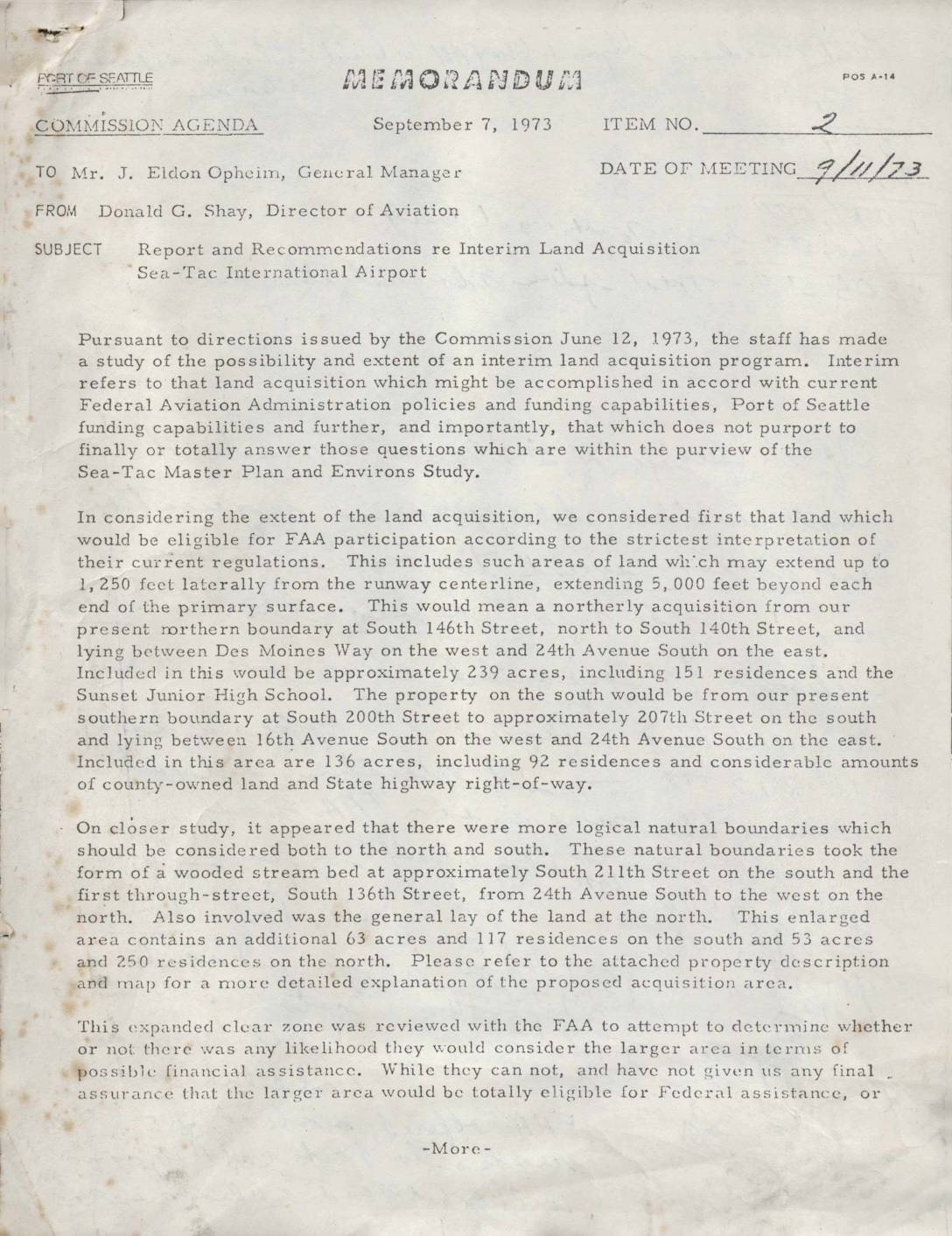
Report and recommendations re interim land acquisition, Sea-Tac International Airport
A 1973 Port of Seattle memorandum outlines a proposed interim land acquisition program around Sea-Tac International Airport, targeting properties to the north and south of the airport's existing boundaries to establish expanded clear zones. The plan covers approximately 610 residential parcels and 75 acres of open land valued at an estimated $15.46 million, with the Port seeking over $8 million in Federal Aviation Administration funding to offset costs. Land acquisition was projected to begin no earlier than July 1, 1974, following required environmental impact statements, housing relocation plans, and FAA review and approval. -
1970-01-01
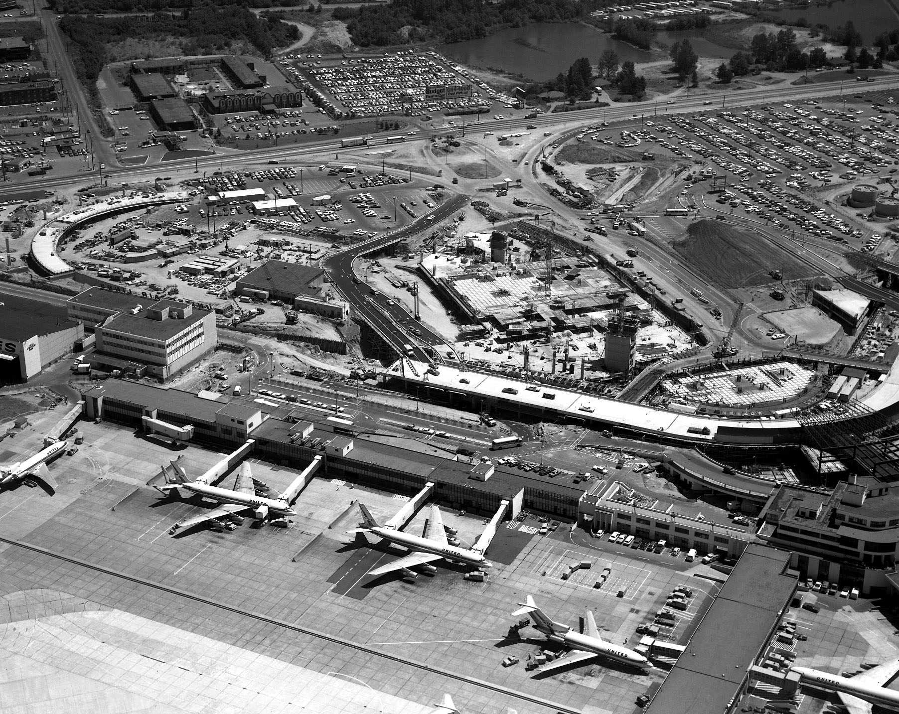
Sea-Tac Airport Aerial View with United Airlines Gates and Terminal Construction
Black-and-white aerial photograph showing Sea-Tac Airport's existing terminal with multiple United Airlines jet aircraft (visible 'UNITED' livery on fuselages) parked at gates, alongside a large active construction project underway immediately north of the terminal. Extensive parking lots, access roads, and surrounding commercial development are visible in the background. -
1969-01-01
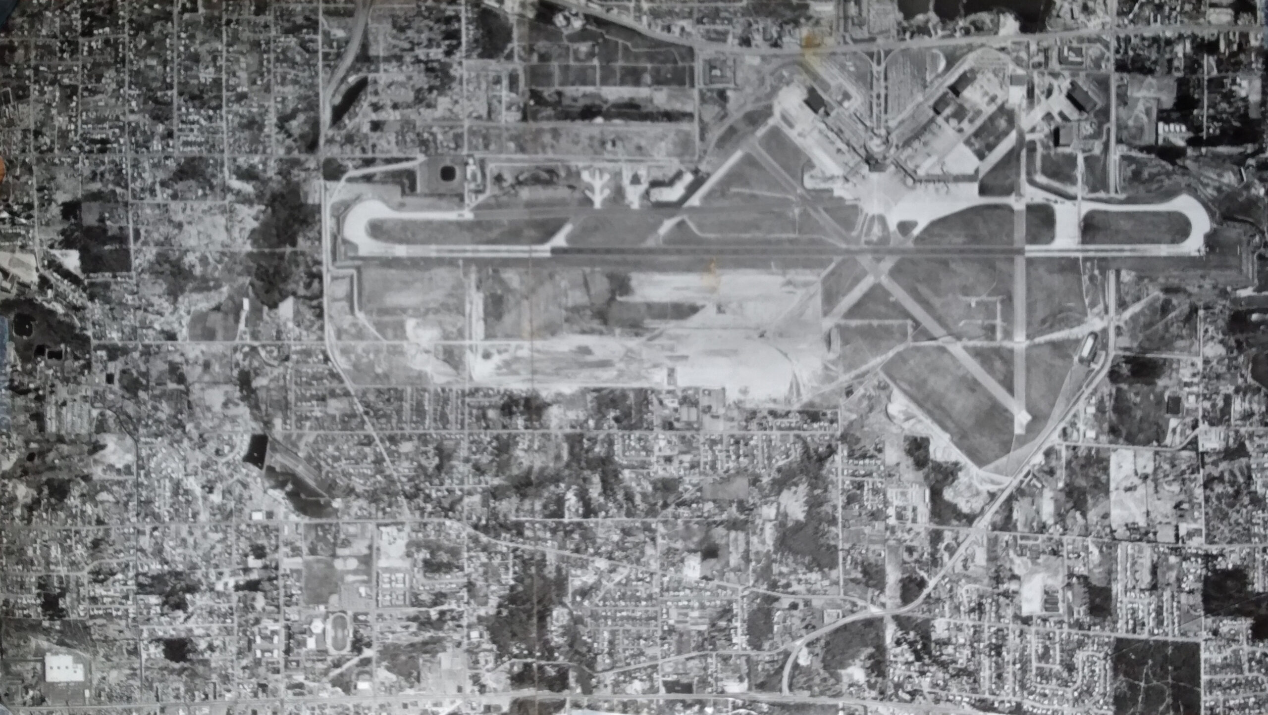
Second Runway Construction Aerial Photograph 1969
Black-and-white aerial photograph showing a large commercial or military airport with multiple runways in an X/crosswind configuration, taxiways, terminal areas, and extensive surrounding residential and commercial development. The image appears to be a historical mosaic aerial survey photograph, consistent with mid-20th century planning or noise-study documentation. -
1969-01-01
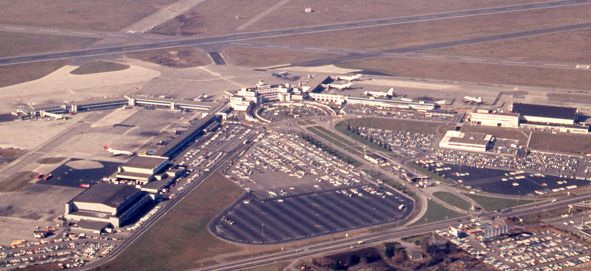
Sea-Tac Airport Aerial View, Late 1960s
Overhead photograph showing a large airport terminal complex with a control tower, multiple aircraft at gates, extensive surface parking lots, and intersecting runways. The photo appears to date from the 1960s–1970s based on vehicle styles and terminal architecture, but no visible text, logos, or captions confirm the specific airport identity.