TagAirport Expansion(165)
-
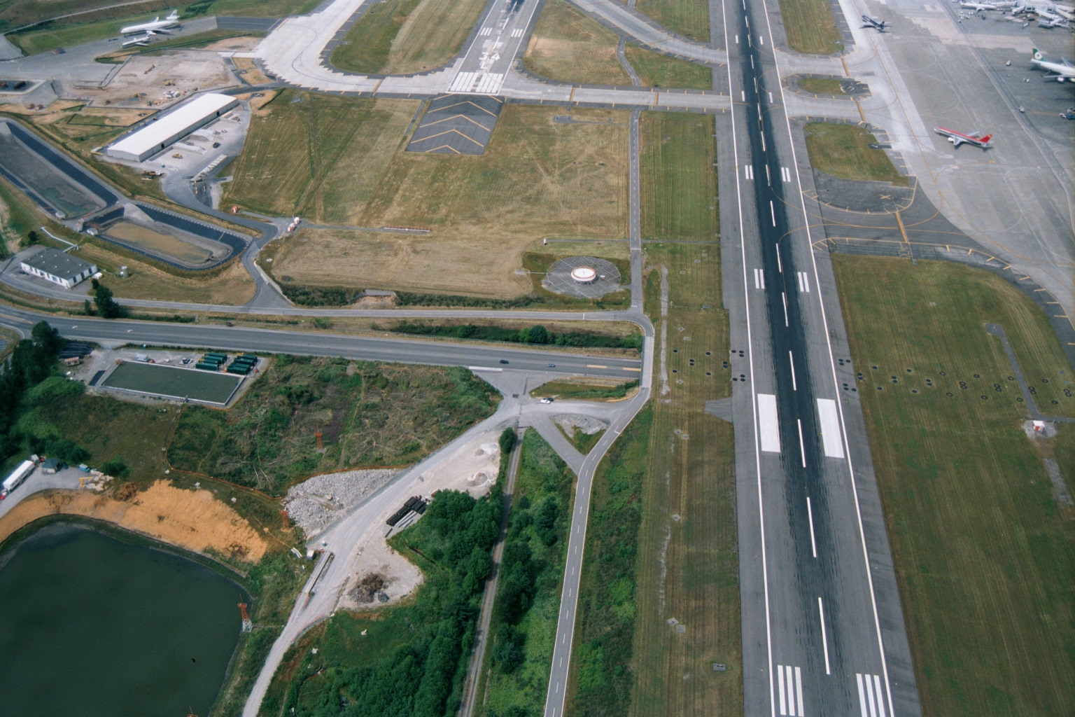
Sea-Tac Airport Runway and Taxiway Aerial View with Construction Activity
Aerial photograph showing a major airport runway with standard white threshold and centerline markings, parallel taxiways, and what appear to be commercial aircraft parked at gates visible in the upper right. Construction activity and a retention pond are visible in the lower left, suggesting active infrastructure development or expansion work. -
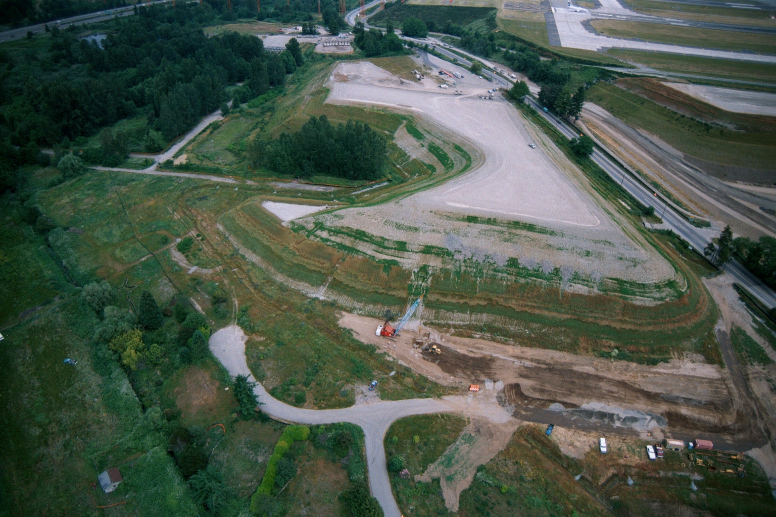 2001-06-22
Aerial View of Graded Earthen Mound Under Construction Adjacent to Sea-Tac Airport Taxiway
Aerial photograph showing a large graded earthen mound or landfill with terraced slopes, construction equipment visible at base, adjacent to what appears to be an airport taxiway or runway in the upper right. Dense tree cover surrounds the site, with access roads and active ground disturbance visible. -
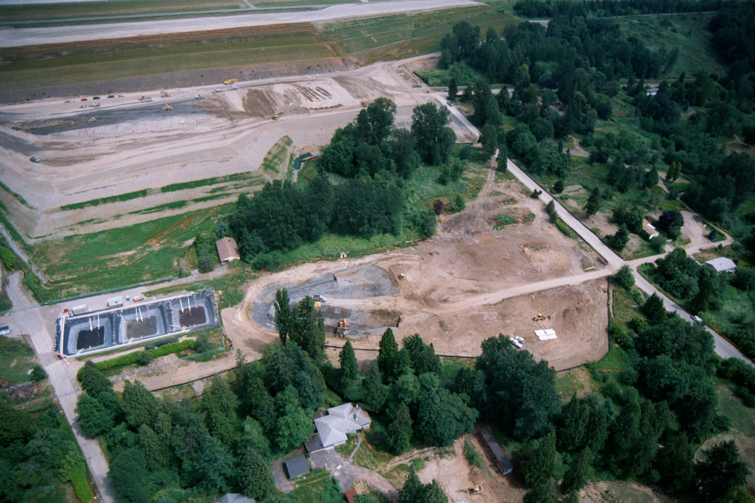 2001-06-22
Aerial View of Earthwork and Grading Operations Near Sea-Tac Airport Runway
Aerial photograph showing large-scale earthwork and grading operations adjacent to what appears to be an airport runway (visible at top). The scene includes rectangular water/sedimentation basins at lower left, heavy equipment, disturbed soil, and surrounding residential and forested areas consistent with airport expansion or noise mitigation land acquisition activity. -
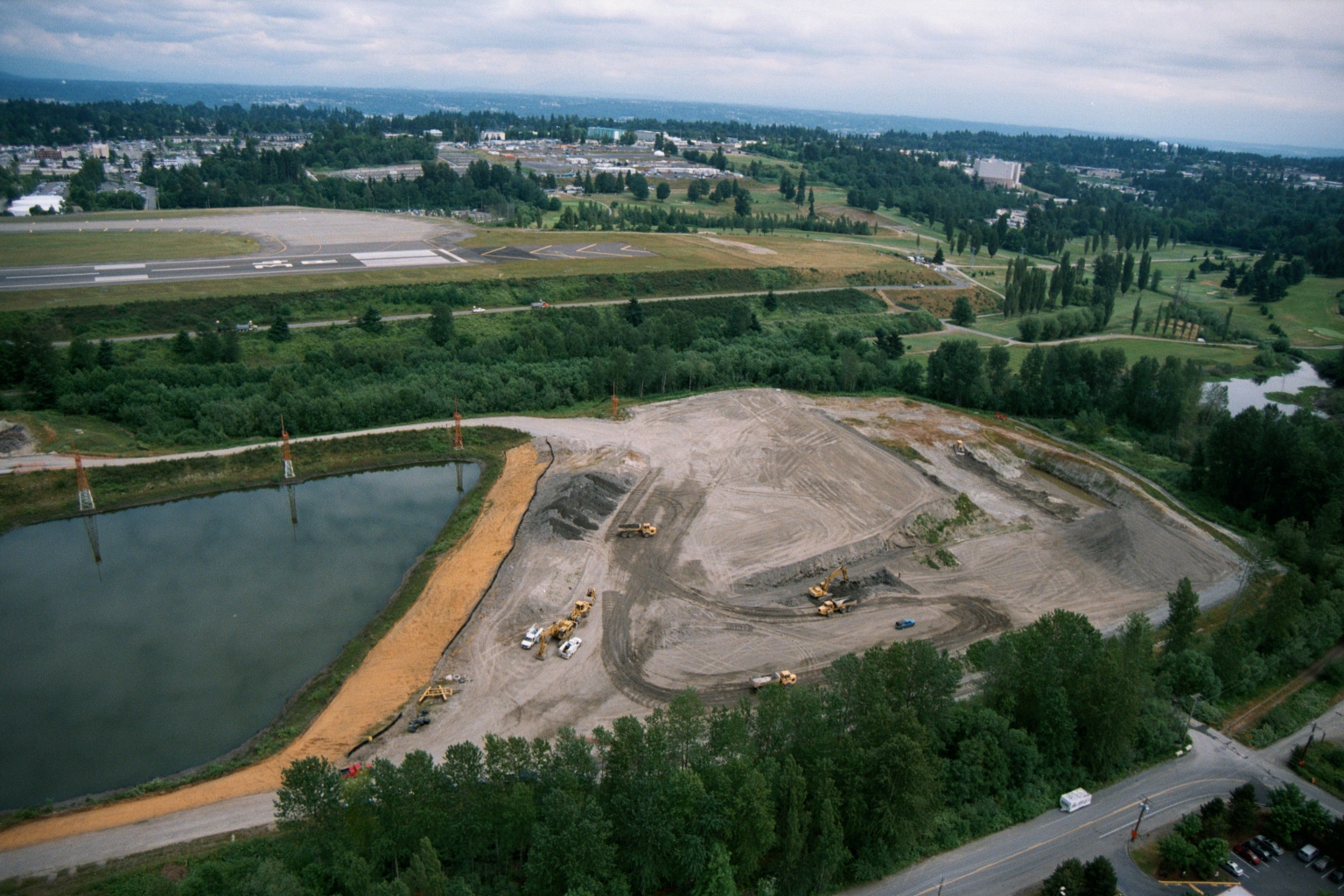 2001-06-22
Aerial View of Earthmoving and Grading Operations Near Airport Runway
Aerial photograph showing active earthmoving and grading operations on a large cleared site next to what appears to be a general aviation airport runway. A retention or sedimentation pond is visible to the left of the construction area, with heavy equipment scattered across the graded terrain and a suburban landscape visible in the background. -
 2001-06-22
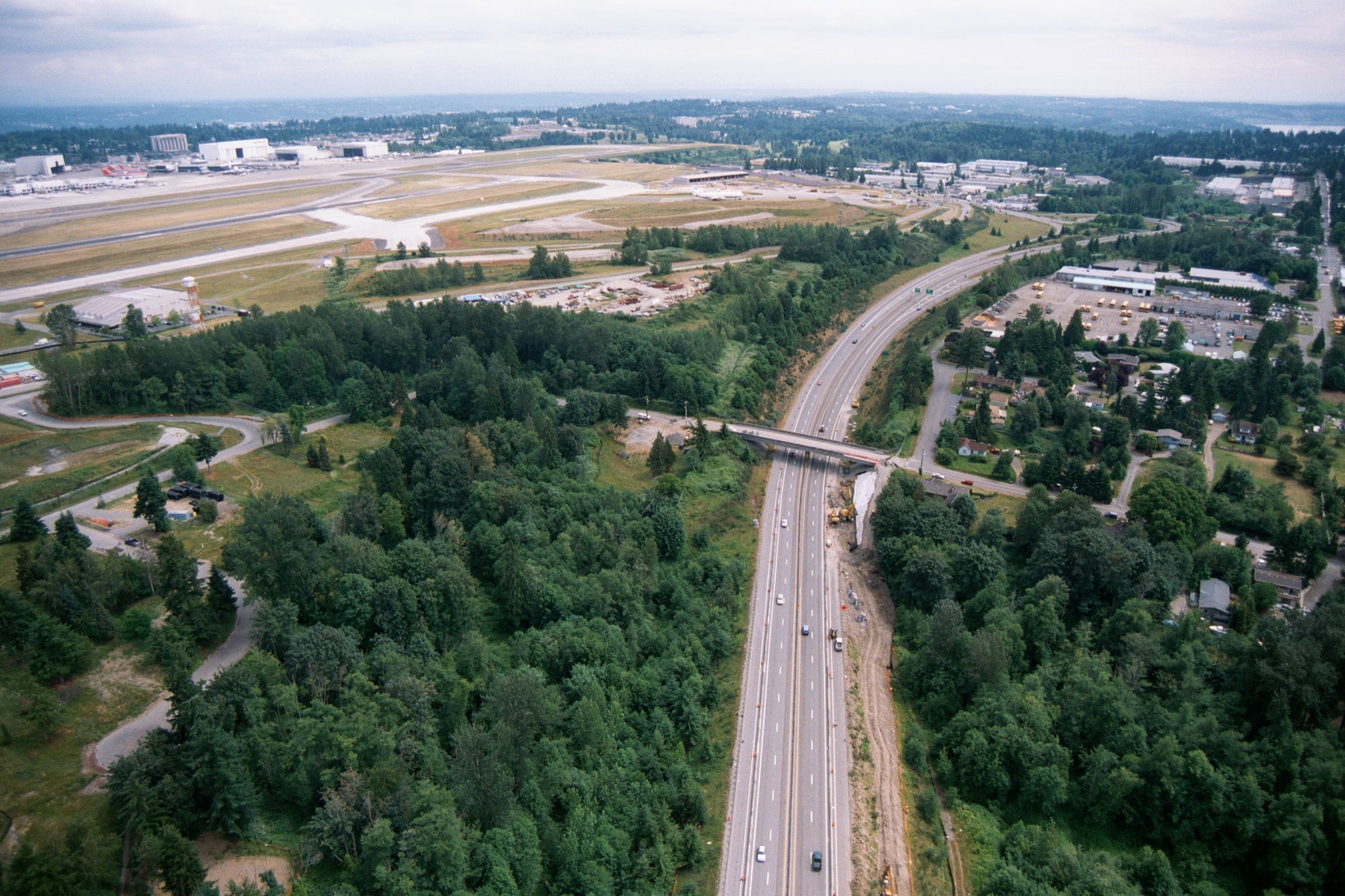
Aerial View of Highway Construction Near Sea-Tac Airport
Aerial photograph showing a multi-lane highway running north-south through a forested area, with active construction and heavy equipment visible alongside the roadway. In the background, an airport airfield with runways and large industrial/hangar buildings is visible to the upper left, consistent with the Sea-Tac Airport vicinity. -
 2001-06-22
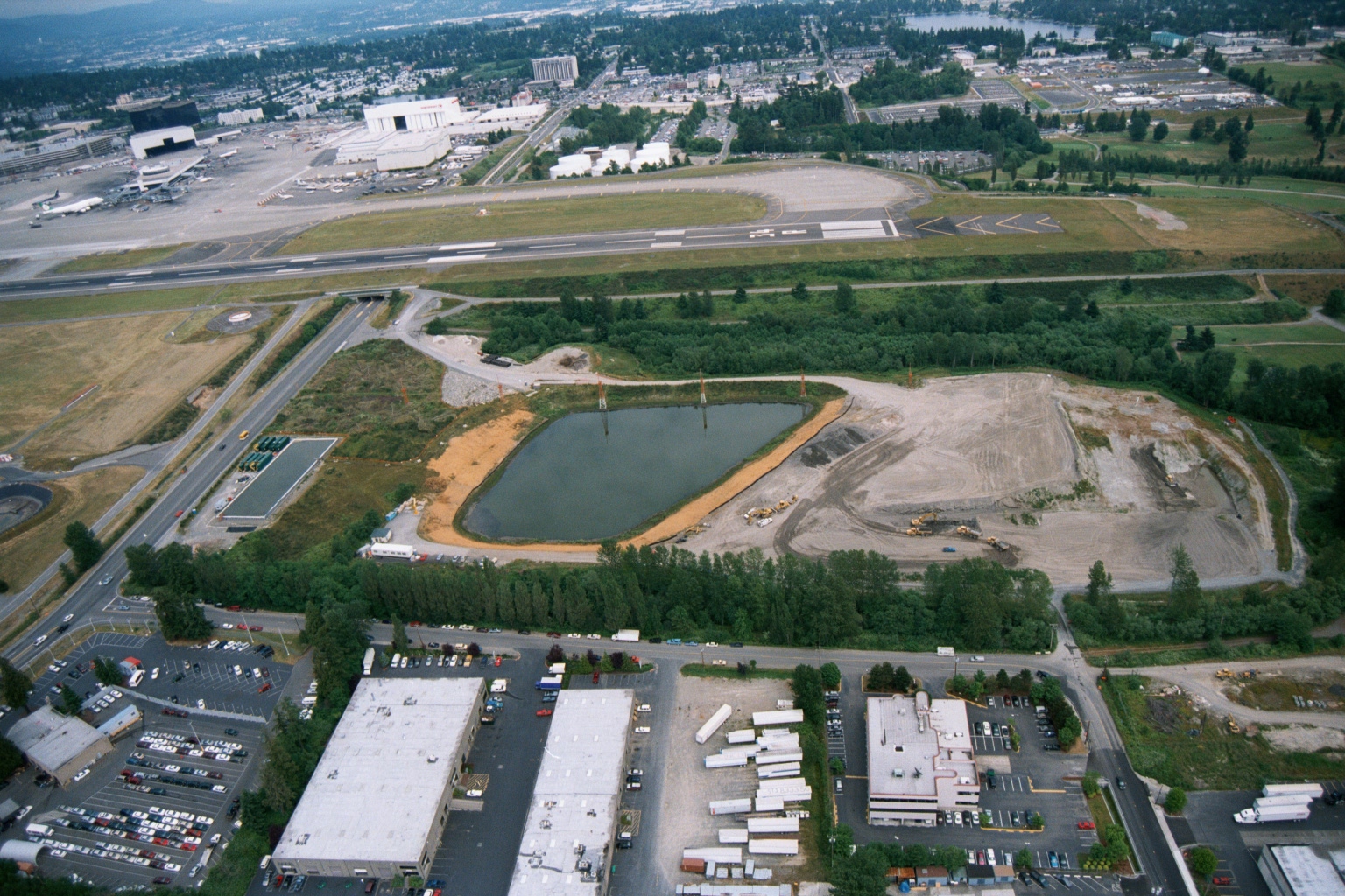
Aerial View of Retention Pond Construction Adjacent to Sea-Tac Airport Runways
Aerial photograph showing a large oval retention/detention pond under construction adjacent to airport runways, with active grading and earthwork visible to the east. The image also shows Boeing or similar aviation facility buildings, taxiways, and surrounding commercial/industrial development consistent with the Sea-Tac Airport area. -
 2001-06-22
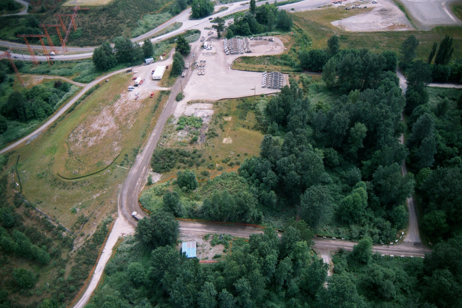
Aerial View of Industrial Gravel Storage Yard Near Sea-Tac Airport Highway Interchange
Aerial photograph showing a gravel yard with rows of stored equipment or materials, adjacent roadways, utility transmission towers on the left, and surrounding vegetation. The site appears to be an industrial staging or storage area near a highway interchange, consistent with construction or infrastructure operations in the Sea-Tac Airport vicinity. -
 2001-06-22
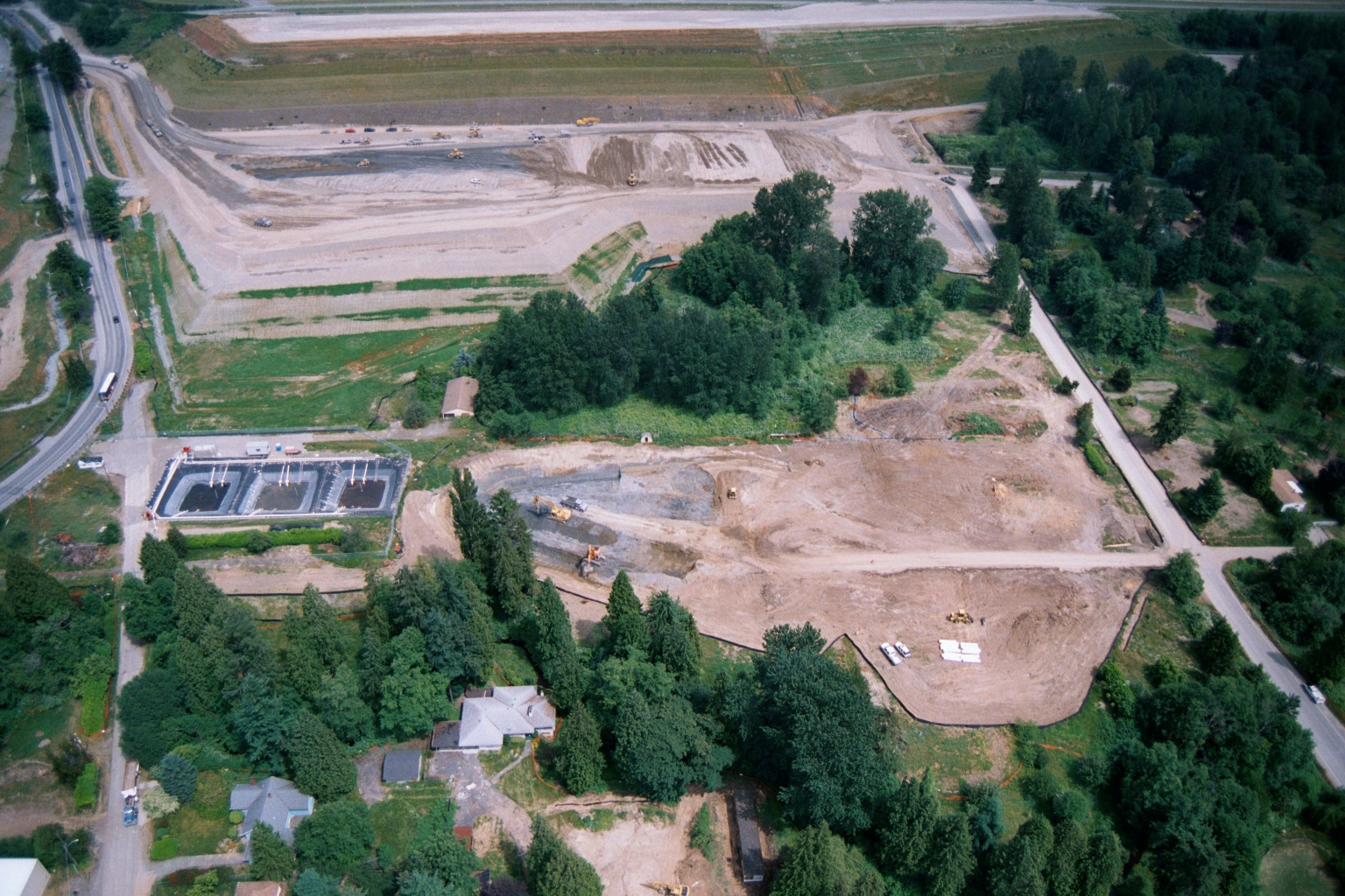
Aerial View of Large-Scale Earthmoving and Grading Operations Near Residential Properties
Aerial photograph showing large-scale earthmoving and grading operations on an expansive cleared site, with what appears to be sedimentation or detention basins visible at left, heavy equipment in operation, and residential properties and tree lines bordering the construction zone. A highway or arterial road runs along the left edge of the frame. -
 2001-06-22
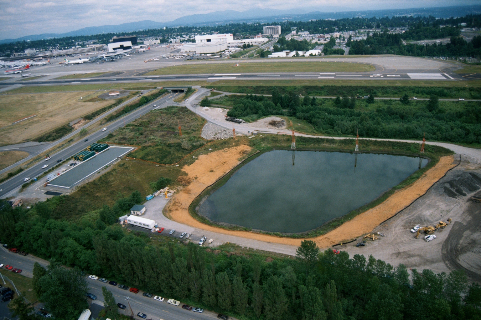
Aerial View of Stormwater Detention Pond Under Construction Near Sea-Tac Airport
Aerial photograph showing a large engineered stormwater or detention pond under active construction adjacent to what appears to be Sea-Tac Airport, with a runway, terminal buildings, and aircraft visible in the background. Construction equipment, temporary structures, and disturbed soils are visible around the pond perimeter, suggesting this documents infrastructure development in the airport vicinity. -
 2001-06-22
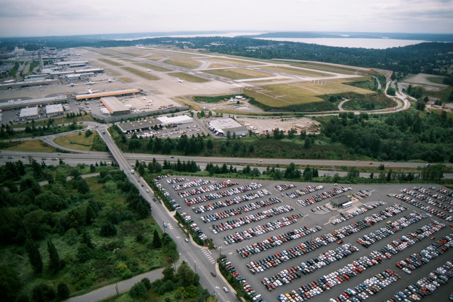
Sea-Tac Airport Aerial View Showing Runways, Terminal, and Puget Sound
Aerial photograph showing Sea-Tac Airport's runway complex, terminal area, and cargo/maintenance facilities, with a large surface parking lot in the foreground and Puget Sound visible in the background. The image appears to date from the late 1970s or 1980s based on vehicle styles and airport infrastructure visible.