TagAirport Expansion(155)
-
 2002-05-01
Financial Analysis For Redevelopment of Northeast Burien Special Plan Area
★A financial analysis report prepared by Economic Consulting Services for the City of Burien regarding the redevelopment of the Northeast Burien Special Plan Area. The report was completed in May 2002 and includes economic analysis and consulting services for the redevelopment project. -
 2000-02-25
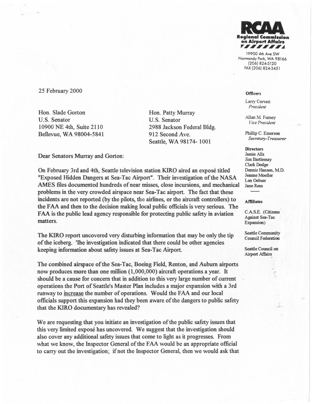
Letter to U.S. Senators Gorton and Murray Regarding Sea-Tac Airport Safety Issues
★In February 2000, the Regional Commission on Airport Affairs (RCAA) wrote to U.S. Senators Patty Murray and Slade Gorton urging an investigation into aviation safety concerns at Sea-Tac Airport, following a KIRO-TV news report that revealed hundreds of unreported near-misses, runway incursions, and mechanical problems documented in NASA AMES files. The RCAA argued that these hidden dangers raised serious questions about the Port of Seattle's plans to expand the airport with a third runway. The letter also requested a moratorium on expansion-related construction permits until a full safety investigation — ideally led by the FAA Inspector General — could be completed. -
 1996-03-27
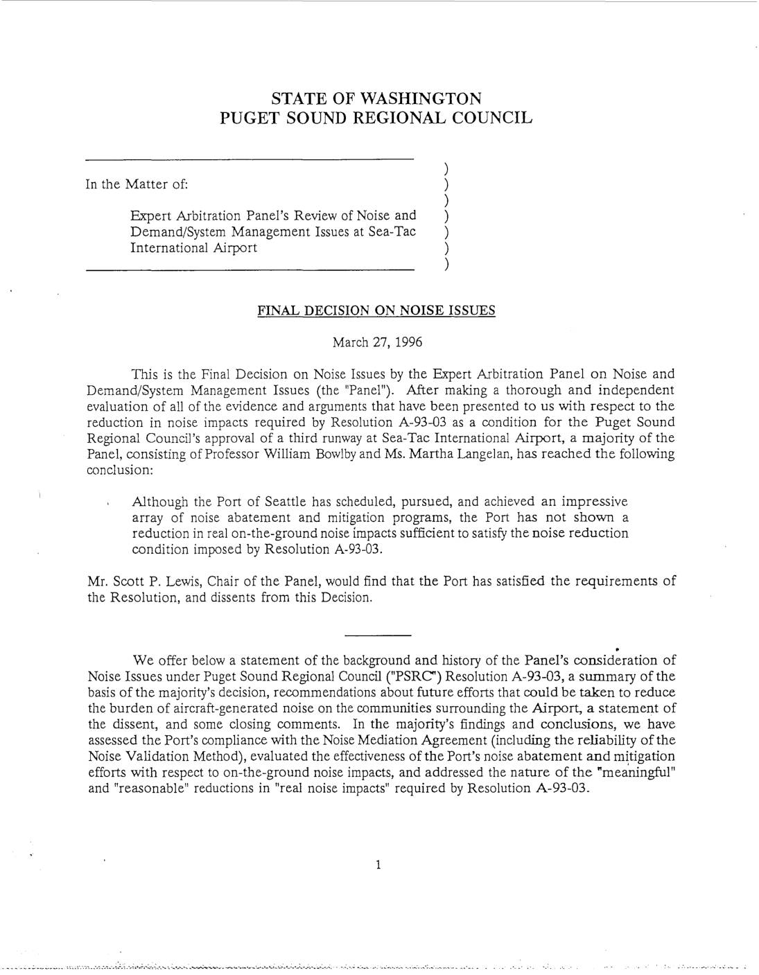
Final Decision on Noise Issues – Expert Arbitration Panel’s Review of Sea-Tac International Airport
★In March 1996, an Expert Arbitration Panel reviewed whether the Port of Seattle had met noise reduction requirements set by the Puget Sound Regional Council as a condition for approving a third runway at Sea-Tac International Airport. A majority of the Panel concluded that, despite the Port's extensive noise abatement programs, it had not demonstrated a sufficient reduction in real, on-the-ground noise impacts to satisfy Resolution A-93-03. This decision left the noise condition as the sole remaining hurdle for authorizing the third runway's construction. -
 1982-07-27
Detailed Analysis of Airspace Interactions – Chapter 6
★ 33Technical analysis of airspace interactions between Sea-Tac Airport and Boeing Field, examining runway capacity models, aircraft delay calculations, and the effects of airspace interactions on airport operations. The document presents detailed capacity and delay calculations using computerized models. -
 1981-12-10
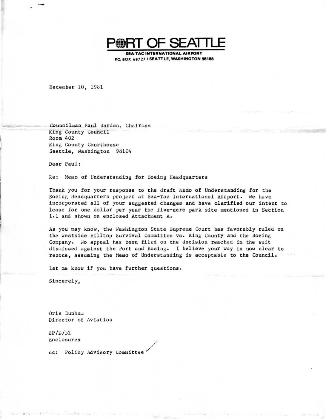
Boeing Headquarters Memo of Understanding – Port of Seattle Letter
★ 32Letter from Port of Seattle Director of Aviation Oris Dunham to King County Council Chairman Paul Barden regarding a Memo of Understanding for Boeing Headquarters project at Sea-Tac International Airport. Includes discussion of rezoning approval following favorable Washington State Supreme Court ruling. -
 1968-07-01
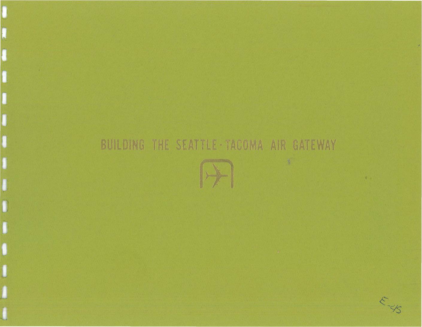
Building the Seattle-Tacoma Air Gateway
★ 31A 1968 report analyzing the development of Seattle-Tacoma International Airport as an air transportation hub. The document examines air traffic growth patterns, airline service routes, and the evolution of commercial aviation at Sea-Tac from 1958-1967, showing dramatic increases in passengers, cargo, and aircraft movements. -
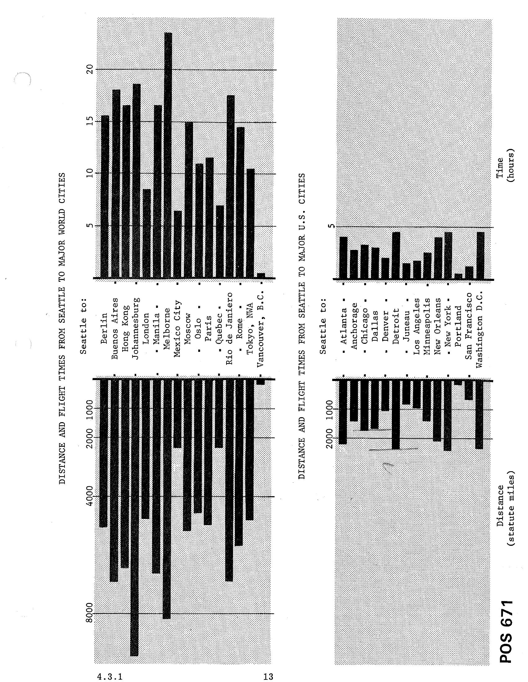
STCP Chapter 4.3.1 — Bar Charts: Distances and Flight Times from Seattle to Major World Cities and Major US Cities
Document POS 671 (page 4.3.1/13) contains two bar charts showing distances in statute miles and flight times in hours from Seattle to major world cities (including Berlin, Buenos Aires, Hong Kong, Johannesburg, London, Manila, Melbourne, Mexico City, Moscow, Oslo, Paris, Quebec, Rio de Janeiro, Rome, Tokyo, and Vancouver B.C.) and major U.S. cities (including Atlanta, Anchorage, Chicago, Dallas, Denver, Detroit, Juneau, Los Angeles, Minneapolis, New Orleans, New York, Portland, San Francisco, and Washington D.C.). -
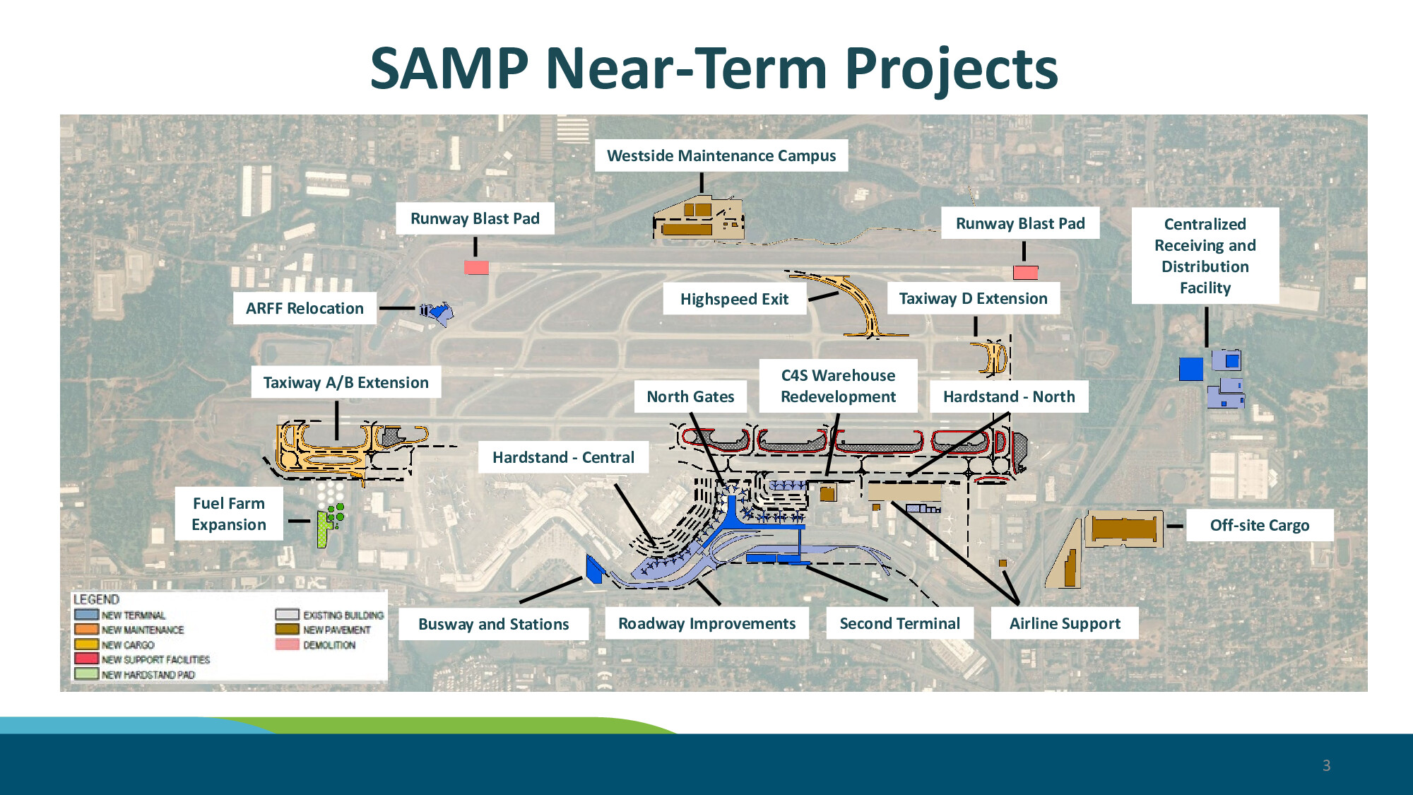
SAMP Near-Term Projects Aerial Map — SEPA Draft EIS
A slide titled 'SAMP Near-Term Projects' presents an aerial map of Seattle-Tacoma International Airport identifying planned near-term capital improvements including a Second Terminal, North Gates, Taxiway A/B and D Extensions, Runway Blast Pads, Hardstand areas (Central and North), Busway and Stations, Roadway Improvements, Fuel Farm Expansion, ARFF Relocation, Westside Maintenance Campus, C4S Warehouse Redevelopment, Off-site Cargo, and a Centralized Receiving and Distribution Facility. The slide is labeled page 3 and uses a color-coded legend distinguishing new terminal, maintenance, cargo, support facilities, hardstand pad, existing buildings, new pavement, and demolition areas. -
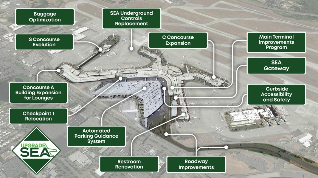 2026-04-23
Upgrade SEA Airport Improvement Map
An aerial overview of Seattle-Tacoma International Airport annotated with labeled capital improvement projects under the 'Upgrade SEA' program, including C Concourse Expansion, S Concourse Evolution, Concourse A Building Expansion for Lounges, SEA Gateway, Main Terminal Improvements Program, Baggage Optimization, Checkpoint 1 Relocation, Automated Parking Guidance System, Restroom Renovation, Roadway Improvements, Curbside Accessibility and Safety, and SEA Underground Controls Replacement. The Upgrade SEA diamond logo is visible in the lower left corner. -
 2026-01-16
The Economics of Air Transport in Europe Part One: Air Transport and Growth
A research report examining the relationship between air transport and economic growth in Europe, analyzing where and when aviation expansion might drive economic benefits. The study includes a review of air travel as an economic enabler and develops a typology of air transport-economy relationships across European regions.