Tagaircraft(224)
-
 2018-08-13
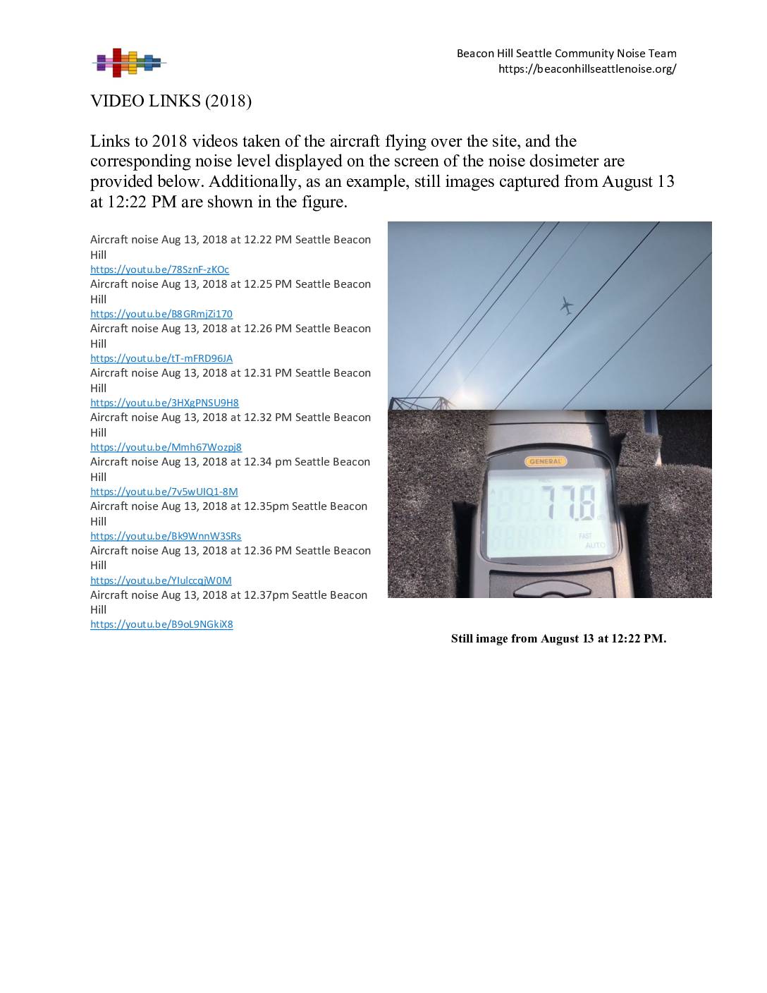
Video Links (2018): Aircraft Noise Recordings, Beacon Hill Seattle Community Noise Team
The Beacon Hill Seattle Community Noise Team recorded aircraft flying over their neighborhood on August 13, 2018, capturing both video and real-time noise levels using a handheld noise dosimeter. Nine videos from that afternoon show aircraft passing overhead between 12:22 PM and 12:37 PM, with a still image from 12:22 PM displaying a reading of 77.8 decibels on the dosimeter. These recordings were compiled as community evidence of aircraft noise impacts in the Beacon Hill area near Sea-Tac Airport. -
FQUROH: A Flight Demonstration Project for Airframe Noise Reduction Technology
FQUROH: A Flight Demonstration Project for Airframe Noise Reduction Technology – YouTube To make future aircraft quieter, JAXA has been developing airframe noise reduction technologies. The footage introduces JAXA’s FQUROH flight demonstration project for airframe noise reduction technology. (March 2018) (FQUROH stands for the “Flight Demonstration of Quiet Technology to Reduce Noise from High-lift Configurations”) -
 2018-01-24
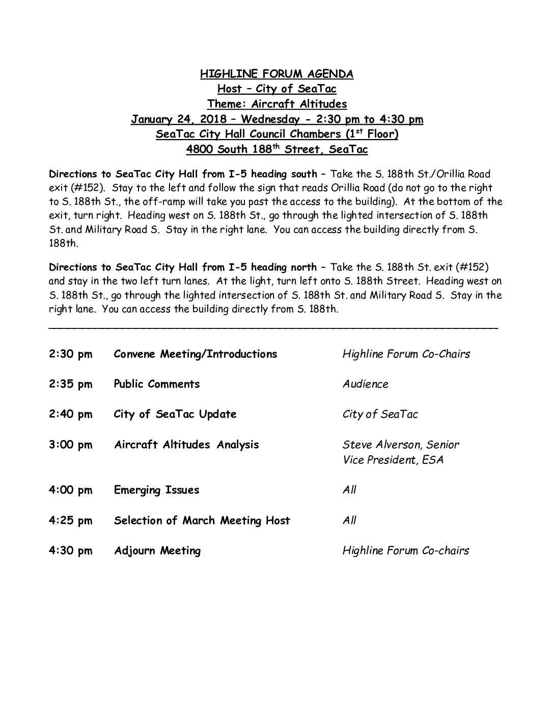
Highline Forum agenda: Aircraft altitudes
The Highline Forum held a public meeting on January 24, 2018, hosted by the City of SeaTac, focused on the theme of aircraft altitudes. The agenda included a City of SeaTac update, a presentation on Aircraft Altitudes Analysis by Steve Alverson, Senior Vice President of ESA, and a discussion of emerging issues. The meeting took place at SeaTac City Hall Council Chambers and ran from 2:30 pm to 4:30 pm. -
 2017-11-23
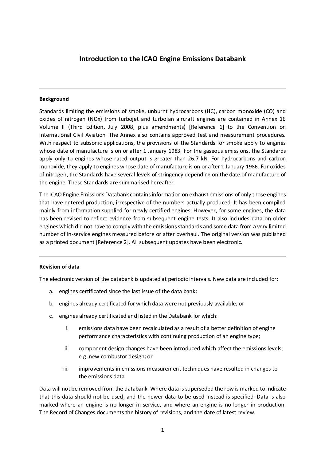
Introduction to the ICAO Engine Emissions Databank
The ICAO Engine Emissions Databank is an international reference database tracking exhaust emissions—including smoke, hydrocarbons, carbon monoxide, and nitrogen oxides—from commercial turbojet and turbofan aircraft engines. It compiles certified emissions data measured during a standardized Landing/Take-Off (LTO) cycle below 3,000 feet, making it relevant for assessing local air quality impacts at airports like Sea-Tac. The databank is regularly updated to reflect new engine certifications and design changes, though its fuel-flow figures are not intended for comparing overall engine fuel efficiency. -
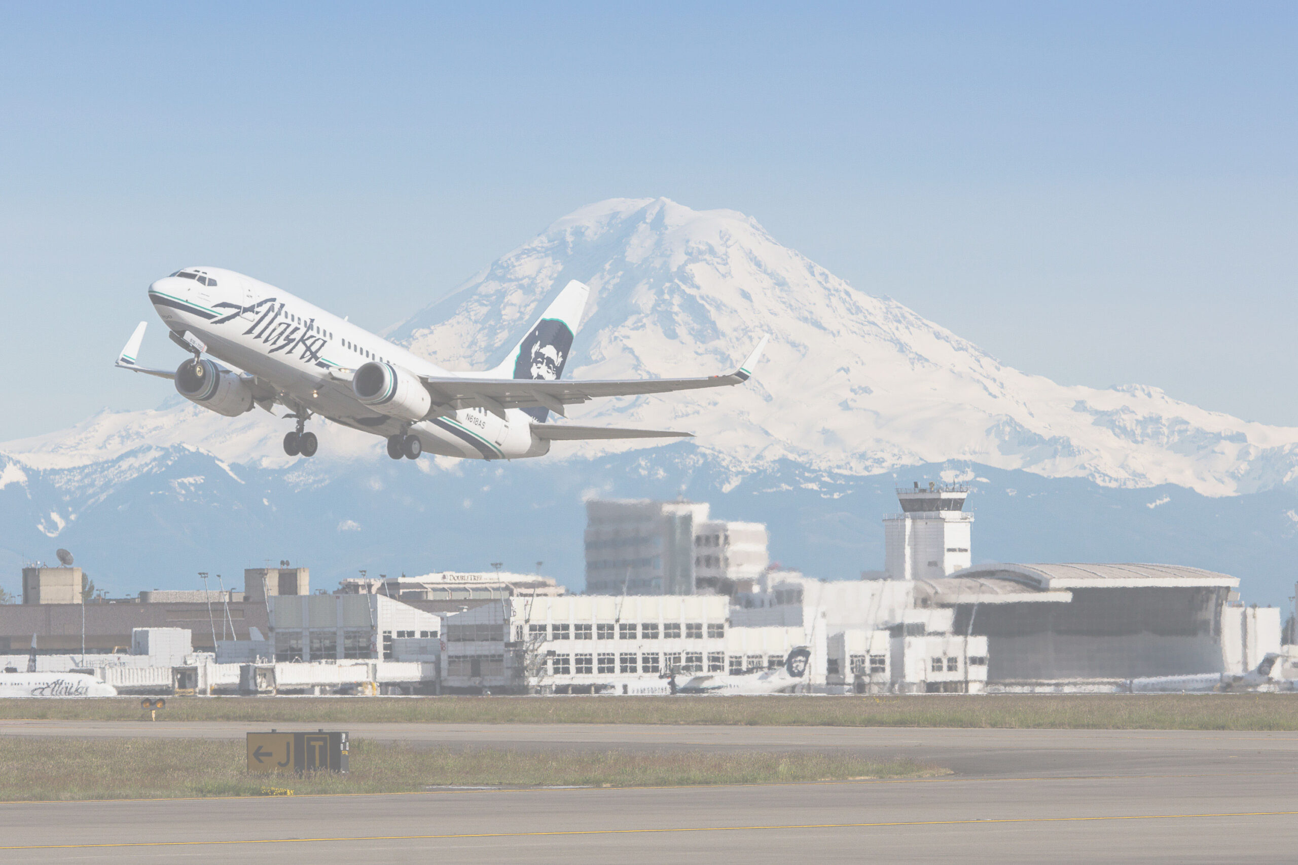
Alaska Airlines Boeing 737 Takeoff at Sea-Tac Airport with Mount Rainier
An Alaska Airlines Boeing 737 takes off from Seattle-Tacoma International Airport (Sea-Tac), with the airline's distinctive Eskimo/Native figure tail livery and 'Alaska' fuselage lettering clearly visible. Mount Rainier dominates the background skyline along with airport terminal and control tower structures; an Alaska Airlines maintenance or operations facility is visible in the mid-ground. -
 2016-02-29
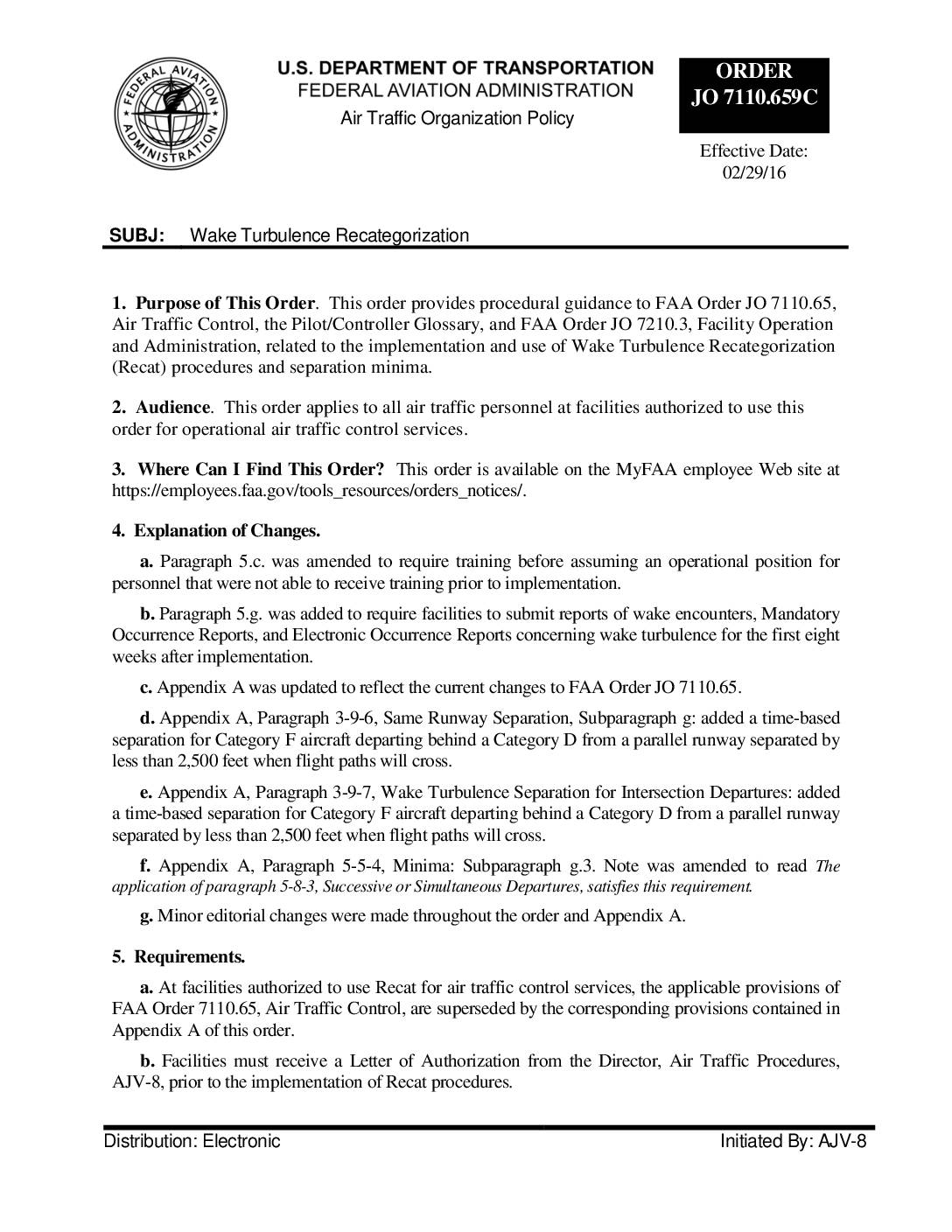
FAA Wake Recategorization JO7110659C
FAA Order JO 7110.659C, effective February 29, 2016, updates air traffic control procedures for Wake Turbulence Recategorization (Recat), which changes how aircraft are grouped for safe separation purposes. Instead of the traditional three weight classes (heavy, large, and small), Recat introduces six categories based on wingspan, takeoff weight, and an aircraft's ability to withstand wake turbulence, allowing for more precise separation distances and improved airport efficiency. Facilities must obtain authorization, train personnel, and submit weekly wake encounter reports for the first eight weeks after implementing these new procedures. -
 2012-05-25
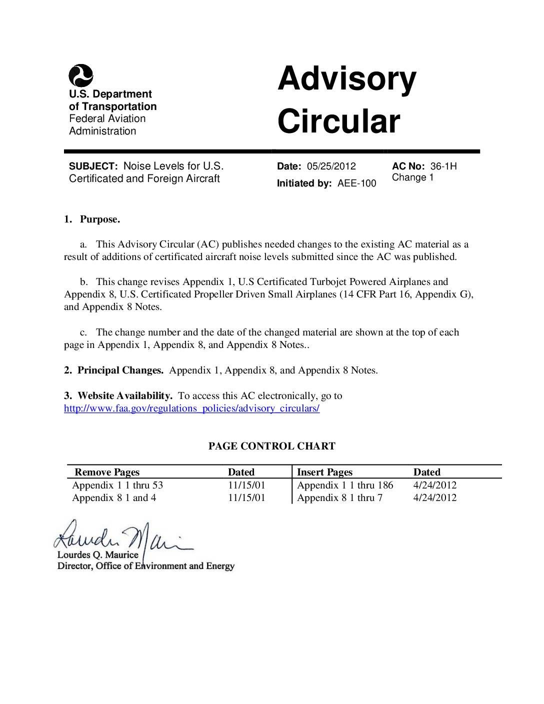
Noise levels for U.S. certificated and foreign aircraft
This FAA Advisory Circular (AC 36-1H) published in 2001 and updated in 2012 provides official noise level data for U.S.-certificated and foreign aircraft, including turbojet and propeller-driven planes tested under 14 CFR Part 36 and ICAO Annex 16 standards. Noise measurements, expressed in Effective Perceived Noise Levels (EPNdB), cover takeoff, sideline, and approach conditions and are organized across multiple appendices by aircraft type and compliance stage. The document serves as a reference for tracking progress in aircraft noise reduction and supports noise policy decisions at airports across the United States. -
 2012-05-01
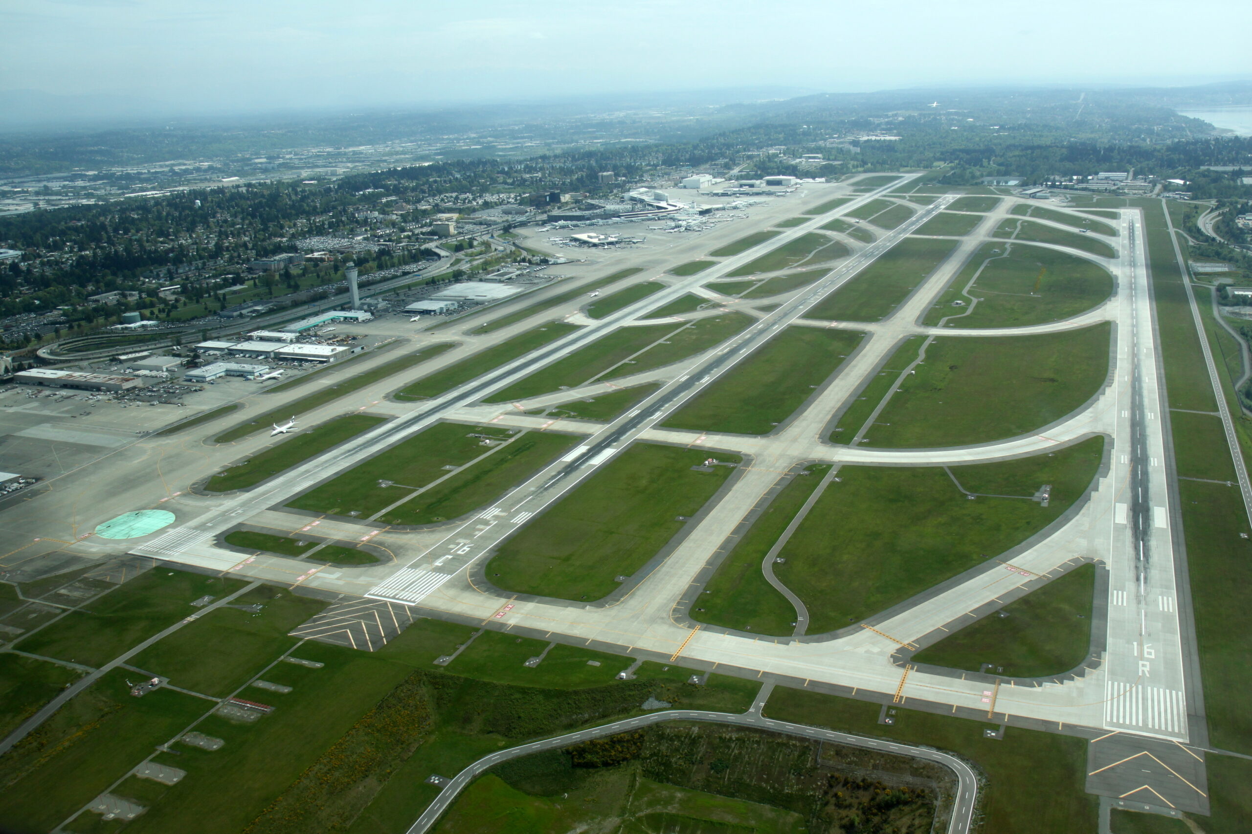
Sea-Tac Airport Aerial View of Parallel Runways, May 2012
Aerial photograph looking northward over Seattle-Tacoma International Airport showing the parallel runway complex. Runway designation '16R' is clearly visible in white paint on the rightmost runway threshold, consistent with SEA-TAC's three north-south parallel runways (16L/34R, 16C/34C, 16R/34L), with the main terminal and concourses visible in the upper left background. -
 2008-08-01
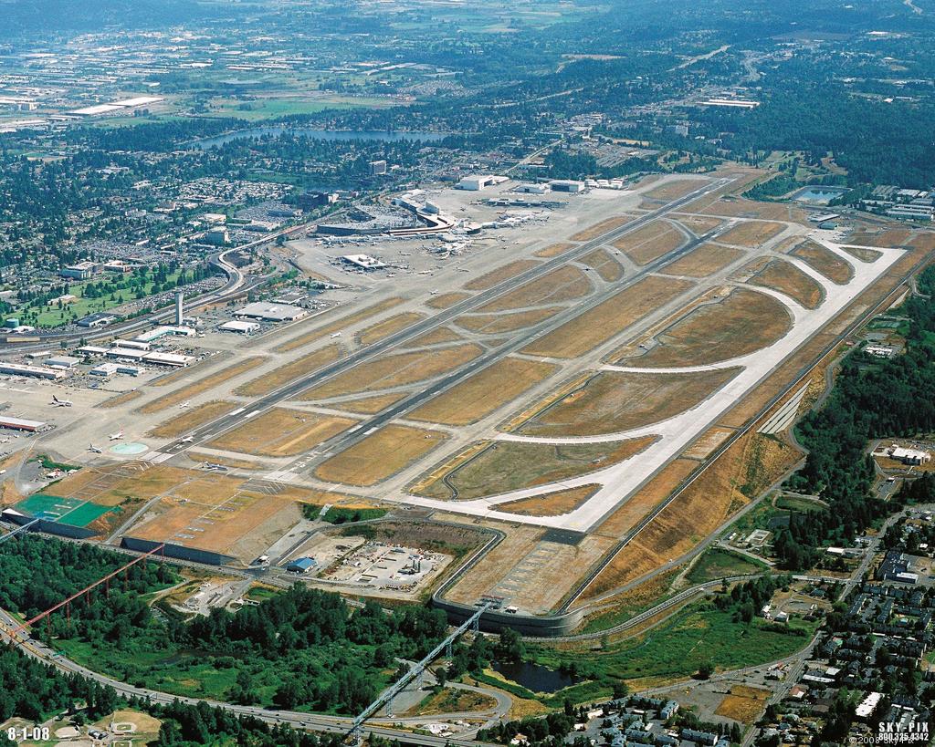
Sea-Tac Airport Aerial Photo, August 2008
Aerial photograph of Seattle-Tacoma International Airport (Sea-Tac) taken on August 1, 2008, showing the airport's parallel runway configuration, terminal complex, and surrounding communities. Image is watermarked 'SKY-PIX 800.325.4342 © 2008' and dated '8-1-08' in the lower corners. -
 2007-09-10
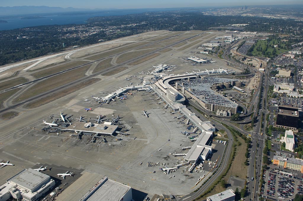
Aerials of Sea-Tac Airport, 10 September 2007.
Aerial photograph of Seattle-Tacoma International Airport (SEA/KSEA) showing the main terminal complex, satellite concourses, airfield runways, taxiways, and surrounding parking structures. Puget Sound and the Seattle skyline are visible in the background, confirming the geographic location in the south King County area.