TagAir Traffic Control(102)
-
 2023-07-18
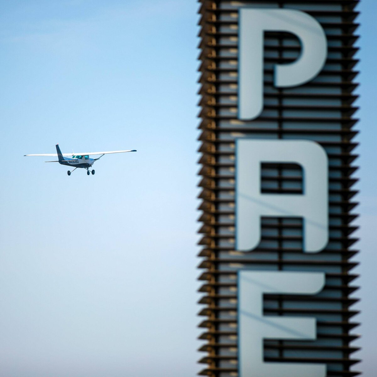
Aircraft Flying Near Airport Tower
A Cessna-type single-engine propeller aircraft (registration partially visible) flies in clear skies adjacent to a tall building bearing large white letters 'PA' (remainder out of frame). The image could be relevant to urban airspace or flight-path documentation near a built-up area. -
 2023-06-30
Aviation Industry Display at Air Show
Multiple commercial aircraft are on static display at what appears to be a major aviation trade show or airshow, including a Boeing 737 in Boeing's blue livery and a JetBlue-liveried aircraft. Also visible is a tail with an 'R' logo (Rioja or similar operator) and registration N8572C; an air traffic control tower is visible in the background. -
 2023-06-12
FAA Reauthorization Act of 2023
The FAA Reauthorization Act of 2023 is a proposed Senate bill that would authorize funding for the Federal Aviation Administration from fiscal years 2024 through 2028. The legislation covers a wide range of aviation topics including airport planning, noise compatibility programs, safety improvements, airspace modernization, and aviation workforce development. Of particular relevance to airport noise policy, the bill includes provisions on flight profile optimization, performance-based navigation, and NextGen airspace modernization efforts that can affect flight paths and noise impacts on communities near airports like Sea-Tac. -
 2023-05-24
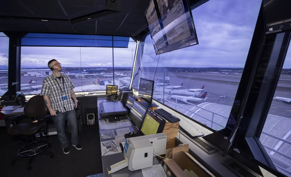
Airport Control Tower Interior
A person wearing a badge/lanyard stands in an airport control tower cab surrounded by multiple monitors and radar displays. Delta Air Lines aircraft are visible at gates on the ramp below, consistent with Sea-Tac Airport's terminal configuration. -

Sea-Tac Airport Control Tower Cab Interior with Radar and Flight Data Displays
Interior view from an airport control tower cab showing radar and flight data display screens on the console. The windows overlook a large airport apron and runway complex, with aircraft and terminal buildings visible below under a clear sky. -
 2022-11-28
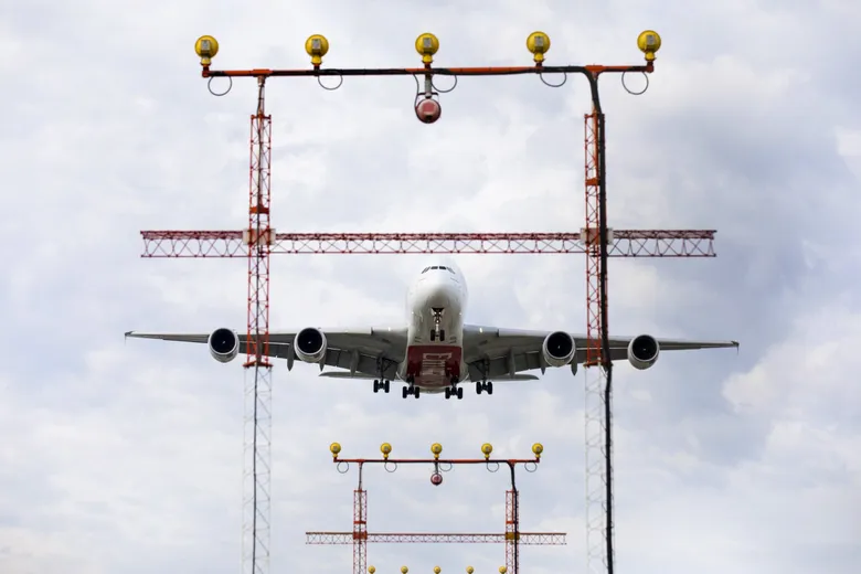
Aircraft Approaching Airport Landing System
A large four-engine widebody aircraft, consistent with an Airbus A380 configuration, is photographed head-on during final approach, framed by a red-and-white approach lighting system (ALS) gantry with yellow omnidirectional lights. Landing gear is fully extended, indicating imminent touchdown. No visible airline livery, watermarks, or location-specific markings are clearly discernible. -
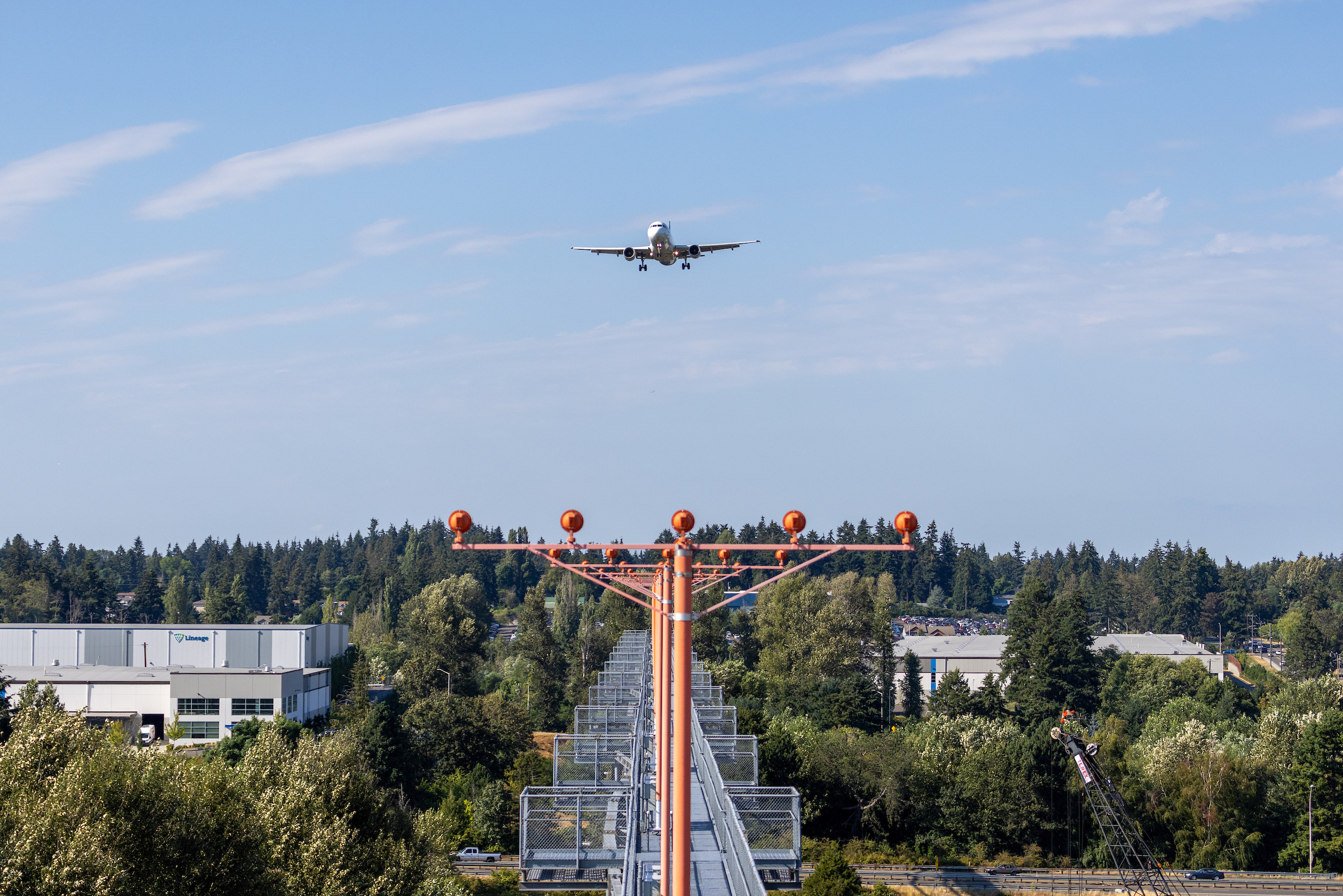
Twin-Engine Commercial Jet on Final Approach to Sea-Tac Airport with ALS Lighting
A twin-engine commercial jet aircraft on final approach is aligned with an Approach Lighting System (ALS) featuring orange crossbar structures and sequenced flasher lights. A 'Lineage' logistics facility is visible in the background left, consistent with the industrial corridor adjacent to Seattle-Tacoma International Airport. -
 2022-08-30
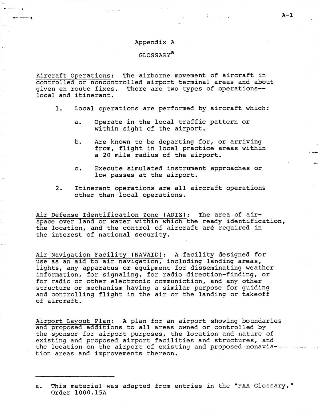
Glossary
This glossary from an FAA planning document defines key aviation terms used in airport operations and air traffic control, including types of aircraft operations (local and itinerant), radar systems, and airspace classifications. It covers planning concepts such as the Airport Master Plan, Airport Layout Plan, and Airport System Planning, as well as operational facilities like the Airport Traffic Control Tower and Air Route Traffic Control Center. These definitions provide a standardized reference for understanding airport development, airspace management, and noise-related policy discussions at facilities like Sea-Tac Airport. -
 2022-04-24
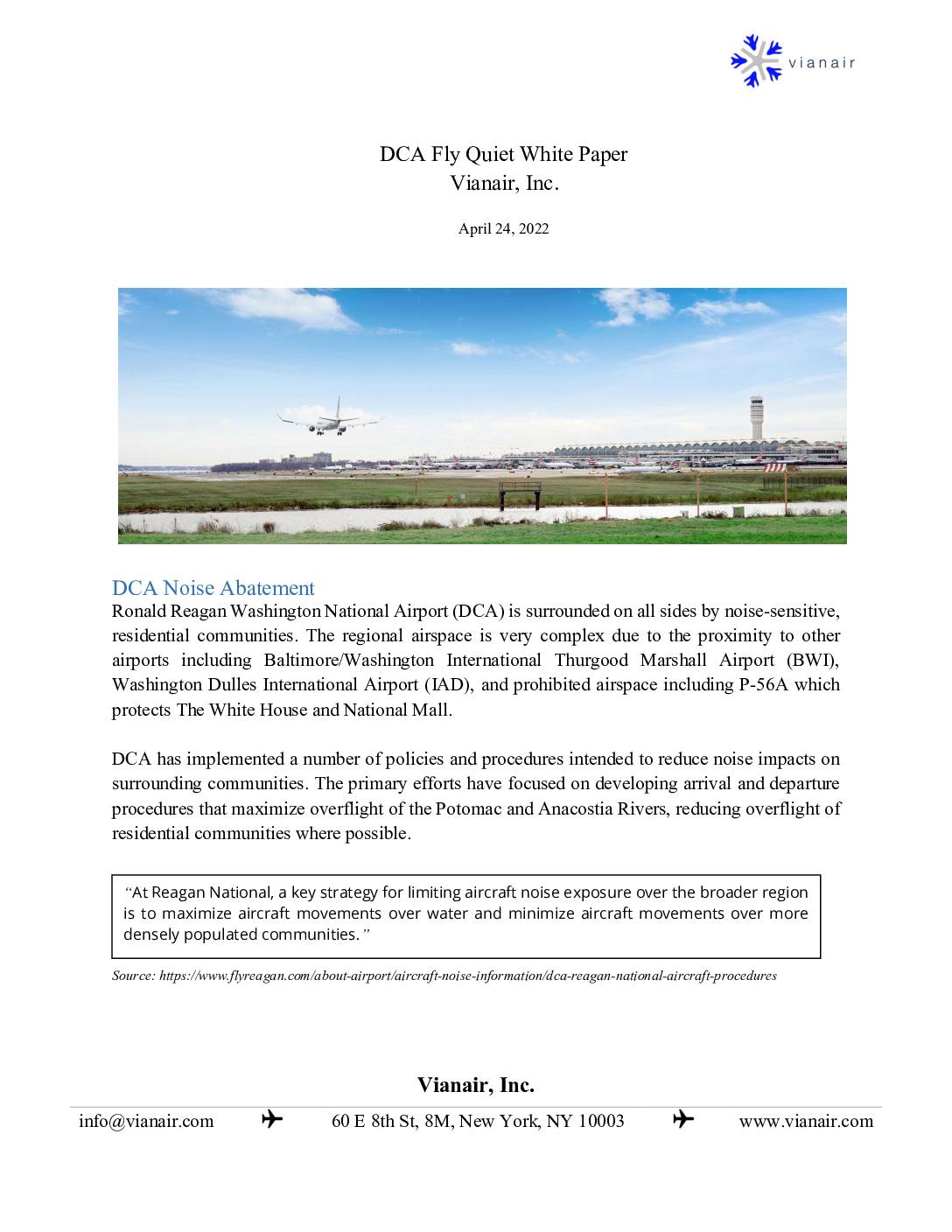
DCA Fly Quiet White Paper
A white paper by Vianair, Inc. examining noise abatement procedures at Ronald Reagan Washington National Airport (DCA) and proposing the development of a comprehensive Fly Quiet program to reduce aircraft noise impacts on surrounding residential communities. -
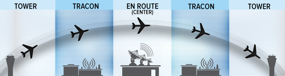
tracon-uRw2a
Diagram illustrating the FAA's layered air traffic control system, showing the handoff of aircraft between Tower (airport), TRACON (Terminal Radar Approach Control), and En Route Center facilities. The graphic depicts a flight path arc from departure to arrival, with corresponding ground facility silhouettes for each control segment.