TagSea-Tac Communities Plan(215)
-
 2022-11-29
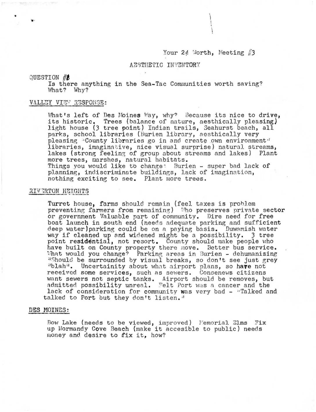
Your 2¢ Worth, Meeting #3: Aesthetic Inventory — Sea-Tac Communities
Community members from Sea-Tac area neighborhoods gathered at Meeting #3 to identify local assets worth preserving—including trees, parks, historic routes, natural streams, and unique communities like Seahurst—and to voice concerns about poor planning, airport noise, and lack of public services. Residents called for comprehensive planning, revised building codes, tax incentives for aesthetically pleasing development, and stronger government action to protect green spaces and waterfront access. Frustration with the Port of Seattle's unresponsiveness to community input on noise and development issues was a recurring theme across multiple neighborhood groups. -
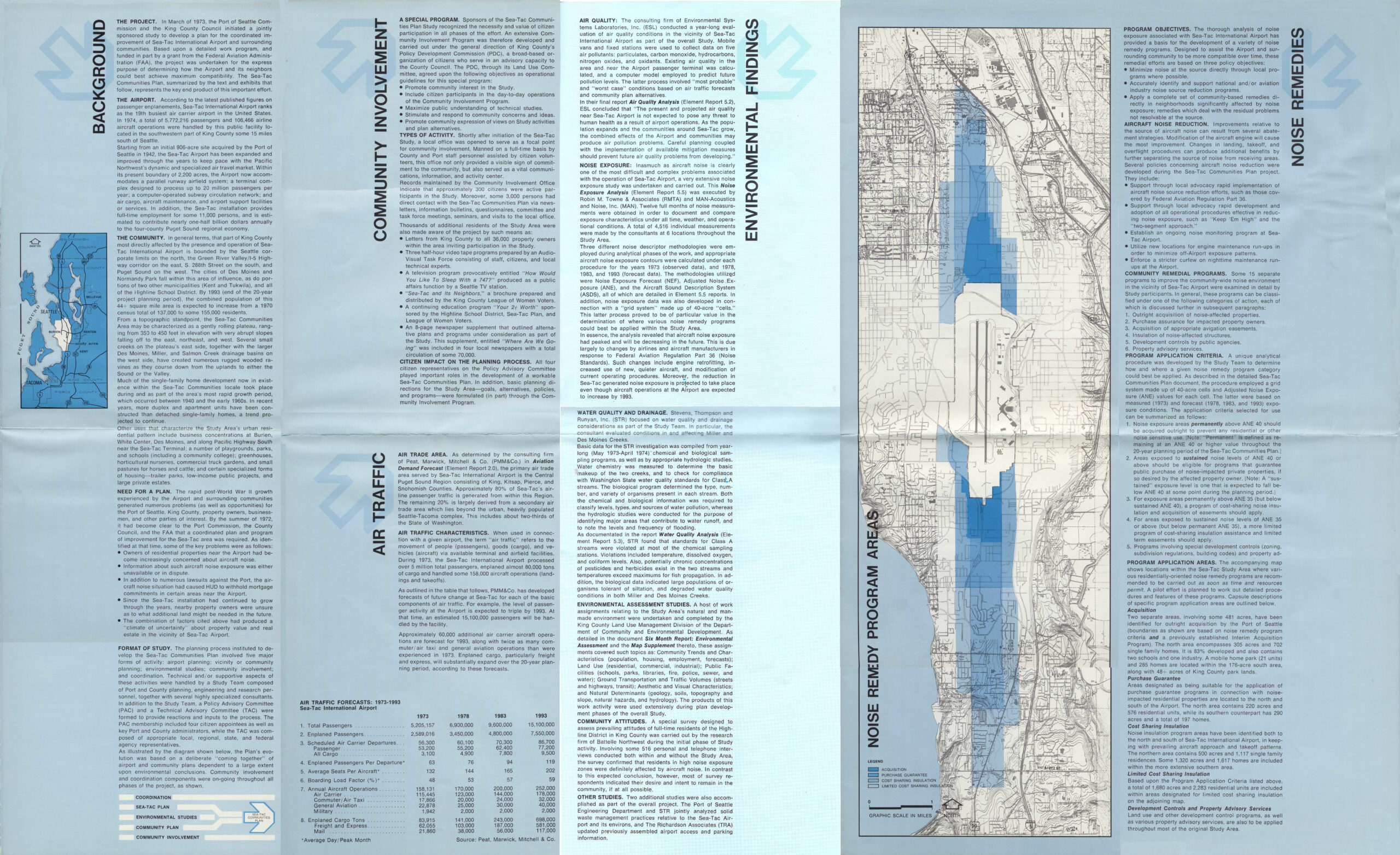
Sea-Tac Communities Plan Blue Community Brochure Page 2 of 2
A multi-panel informational brochure produced by the Port of Seattle summarizing the Sea-Tac Communities Plan, covering background, community involvement, air traffic forecasts, environmental findings (air quality, noise exposure, water quality), and noise remedy programs for the area surrounding Seattle-Tacoma International Airport. The document includes air traffic forecast tables projecting passenger and cargo figures from 1973 to 1993, a noise remedy program map, and references to King County and multiple consulting firms including PMA&Co., Environmental Systems Laboratories, and Stevens Thompson and Runyan. -
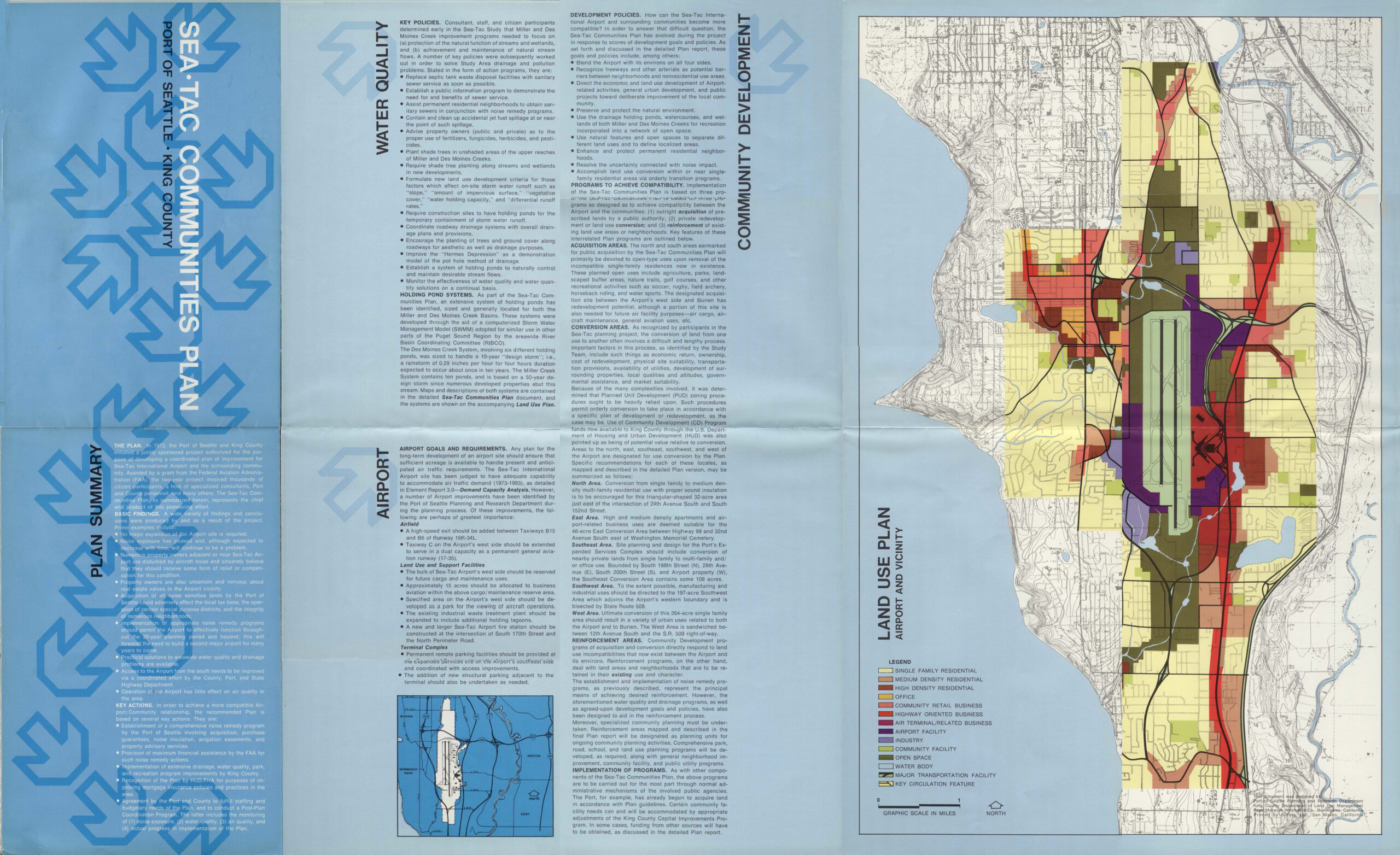
Sea-Tac Communities Plan Blue Community Brochure Page 1 of 2
A tri-fold planning document titled 'Sea-Tac Communities Plan, Port of Seattle – King County,' covering water quality policies, airport goals and requirements, community development policies, and a color-coded Land Use Plan map of the Sea-Tac Airport and vicinity. The map legend identifies land use categories including residential densities, commercial, industrial, airport facility, open space, and major transportation facilities. -
 2022-08-30
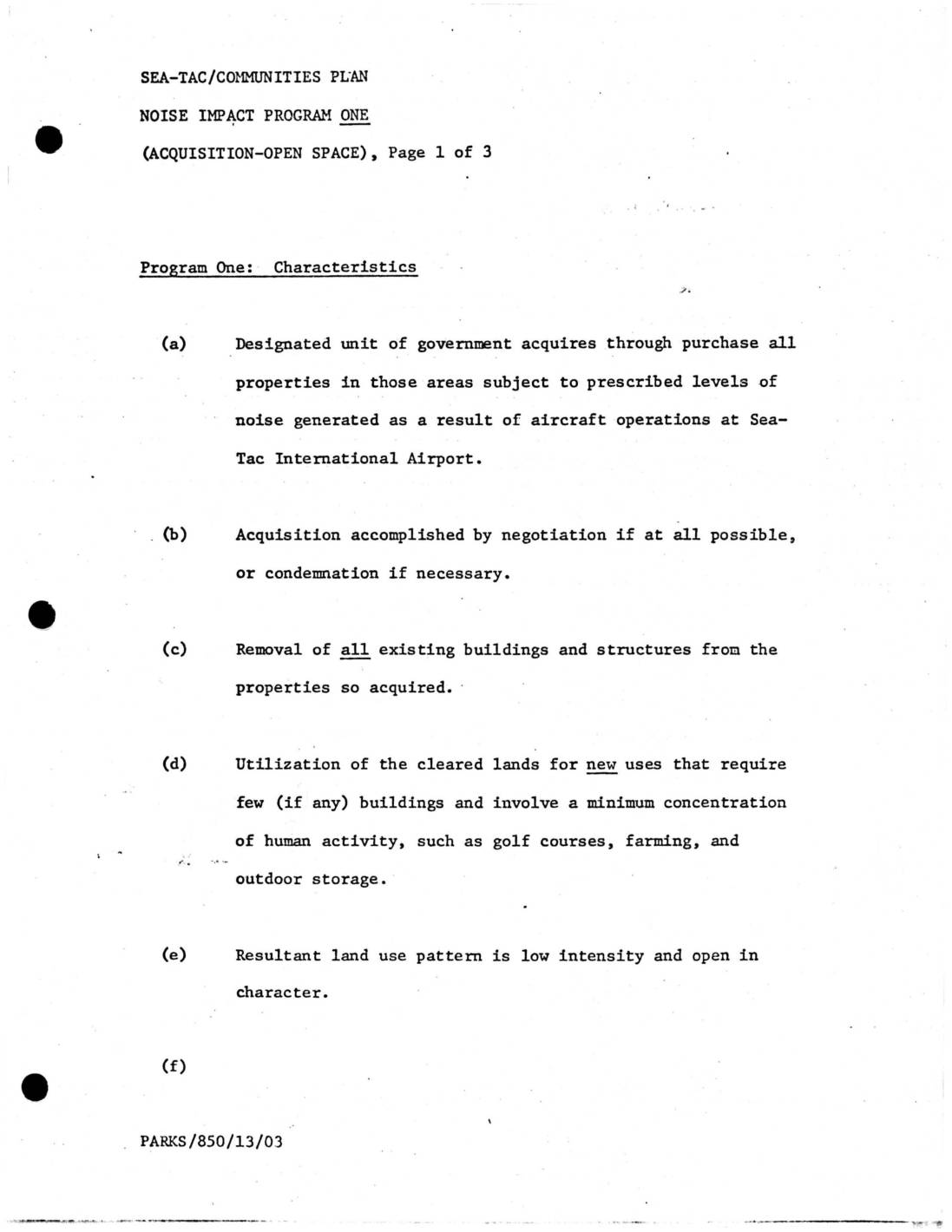
Sea-Tac Communities Plan: Noise Impact Programs One, Two, and Three — Acquisition Characteristics
The Sea-Tac/Communities Plan outlines three noise impact programs for managing properties affected by aircraft noise at Seattle-Tacoma International Airport. All three programs involve a designated government unit purchasing affected properties through negotiation or condemnation. The programs differ in how the land is subsequently used: Program One converts it to low-intensity open space such as golf courses or farmland; Program Two redevelops it for noise-compatible industrial or commercial uses; and Program Three leases the properties back to prior owners for a set period, leaving land use largely unchanged in the short term. -
 2022-08-28
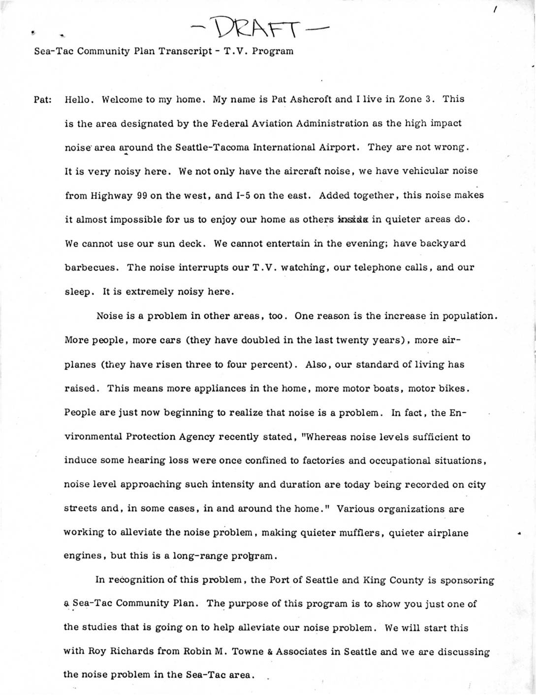
Sea-Tac Communities Plan – T.V. Program Transcript
This is a draft transcript from a Sea-Tac Community Plan television program in which resident Pat Ashcroft and noise researcher Roy Richards of Robin M. Towne & Associates discuss the serious noise impact on communities surrounding Seattle-Tacoma International Airport. Richards explains that the Port of Seattle and King County sponsored a comprehensive noise study covering approximately 50 square miles around the airport, measuring over 4,200 aircraft takeoff and landing events at 66 monitoring locations. The study aimed both to document the extent of noise exposure and to provide a planning tool for future land use and facility design decisions. -
 2022-08-28
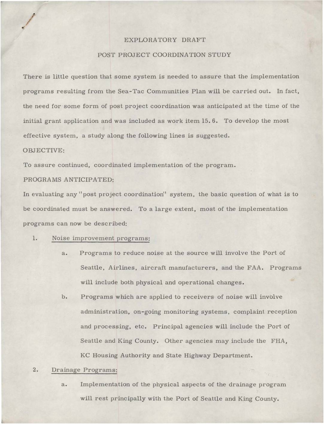
Exploratory draft: Post project coordination study
This exploratory draft outlines a proposed Post Project Coordination Study aimed at ensuring the continued implementation of programs developed under the Sea-Tac Communities Plan. It identifies key areas requiring coordination, including aircraft noise reduction, drainage improvements, community action programs, and land use controls, with principal agencies such as the Port of Seattle and King County playing central roles. The document also highlights the need for legislative advocacy at both the state and federal levels, as well as potential follow-up studies to fully carry out the plan's recommendations. -
 2022-08-28
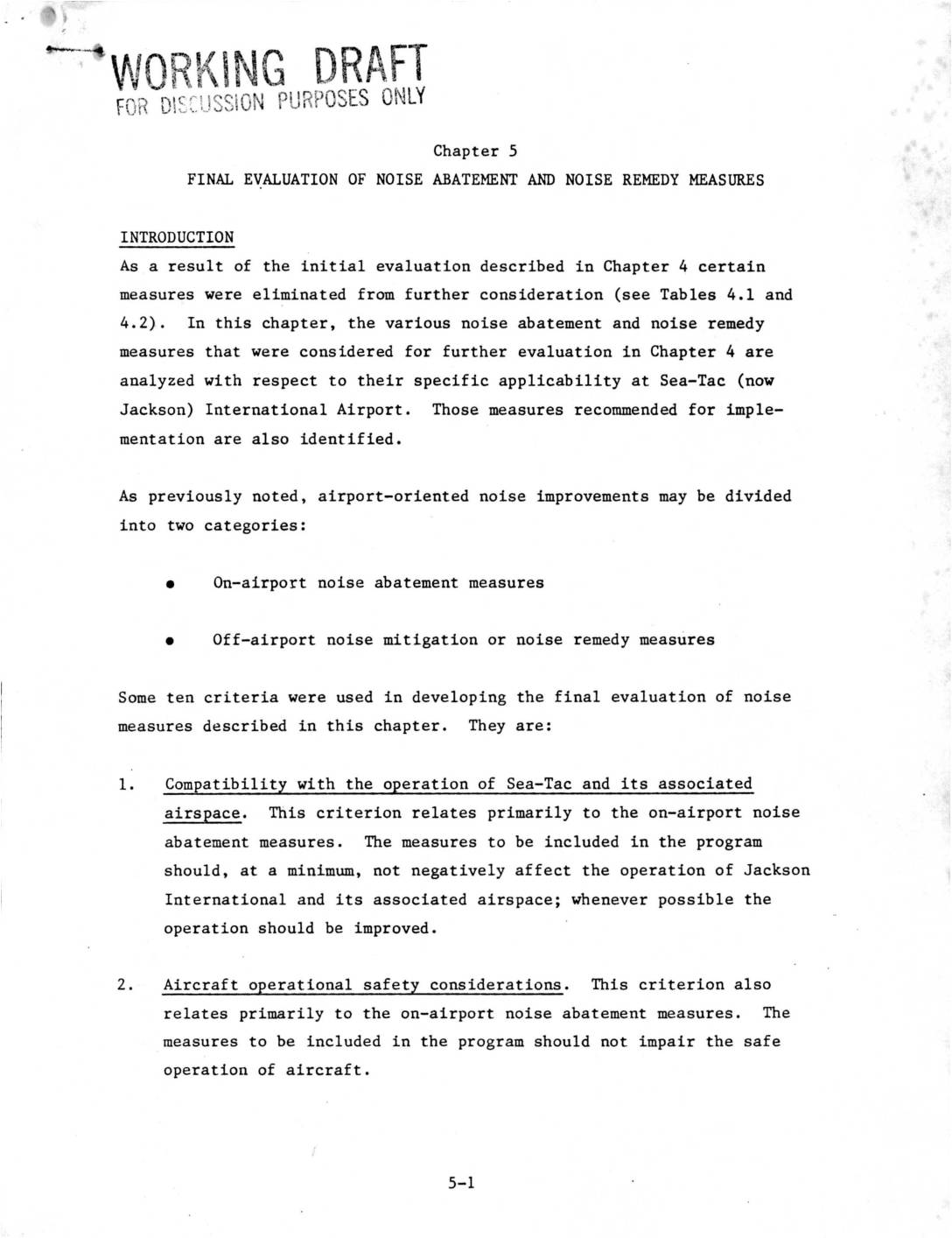
Chapter 5: Final Evaluation of Noise Abatement and Noise Remedy Measures
This working draft chapter outlines the final evaluation of noise abatement and noise remedy measures considered for Seattle-Tacoma (Jackson) International Airport, covering both on-airport and off-airport approaches. Ten criteria were used to assess each measure, including aircraft safety, noise reduction effectiveness, community attitudes, cost, and compatibility with existing land-use plans. Measures meeting these criteria were recommended for implementation to reduce aircraft noise impacts on surrounding communities. -
 2022-08-27
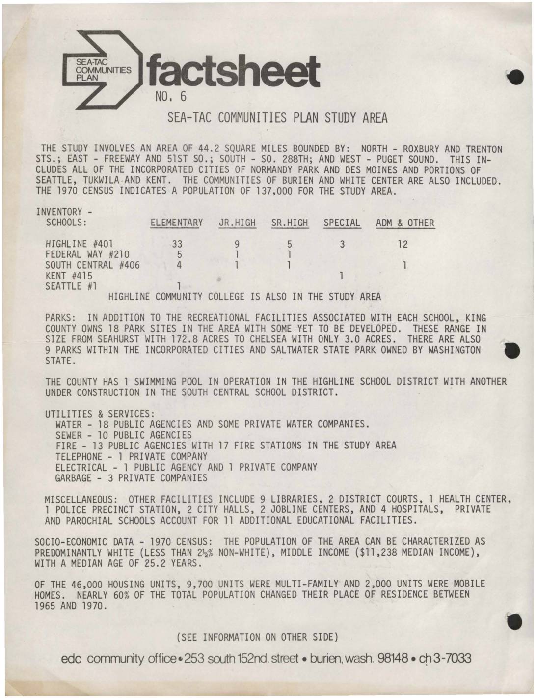
Sea-Tac Communities Plan Fact Sheet No. 6: Study Area Overview
This 1973 fact sheet from the Sea-Tac Communities Plan describes a 44.2-square-mile study area surrounding Seattle-Tacoma International Airport, covering communities including Burien, White Center, Normandy Park, and Des Moines, with a 1970 population of 137,000. The document inventories local schools, parks, utilities, and services in the region, and provides socioeconomic data showing a predominantly white, middle-income population with a median household income of $11,238. The plan was jointly sponsored by King County and the Port of Seattle with the goal of maximizing compatibility between the airport and its surrounding communities. -
 2022-08-27
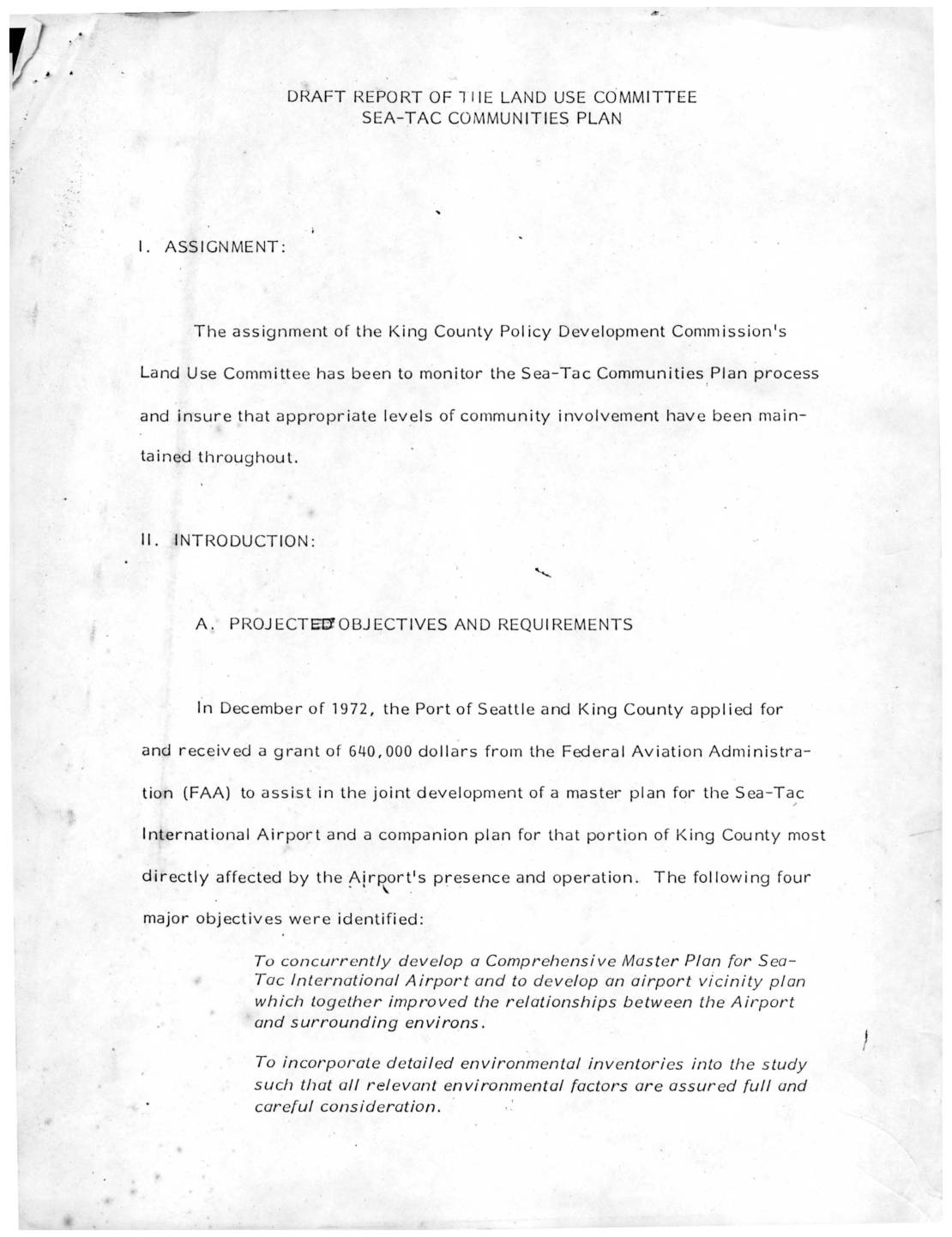
Draft report of the Land Use Committee: Sea-Tac Communities Plan
This draft report from the King County Policy Development Commission's Land Use Committee outlines the planning process for the Sea-Tac Communities Plan, a joint effort between King County and the Port of Seattle funded by a $640,000 FAA grant awarded in 1972. The plan aimed to concurrently develop a master plan for Sea-Tac International Airport and a companion land-use plan for surrounding communities most affected by airport noise and operations. A Policy Advisory Committee representing government agencies, consultants, and community groups oversaw the process, which moved through four phases covering data collection, site analysis, alternative plan development, and final recommendations for adoption by both the King County Council and the Seattle Port Commission. -
 2022-08-24
Sea-Tac Communities Plan: Map Supplement to Sixth Month Report
The Sea-Tac/Communities Plan is a planning study co-sponsored by the Port of Seattle and King County, funded through a federal grant under the Airport and Airways Development Act of 1970. It serves as a map supplement to a sixth-month report, covering community trends and characteristics, land use, ground transportation and traffic, aesthetic and visual qualities, and natural determinants in the communities surrounding Seattle-Tacoma International Airport. The 1973 report includes demographic data such as median age, the percentage of residents under 20, and the percentage of residents 65 and older, mapped across 1970 census tracts in the Sea-Tac area.