TagKing County(422)
-
 2001-10-25
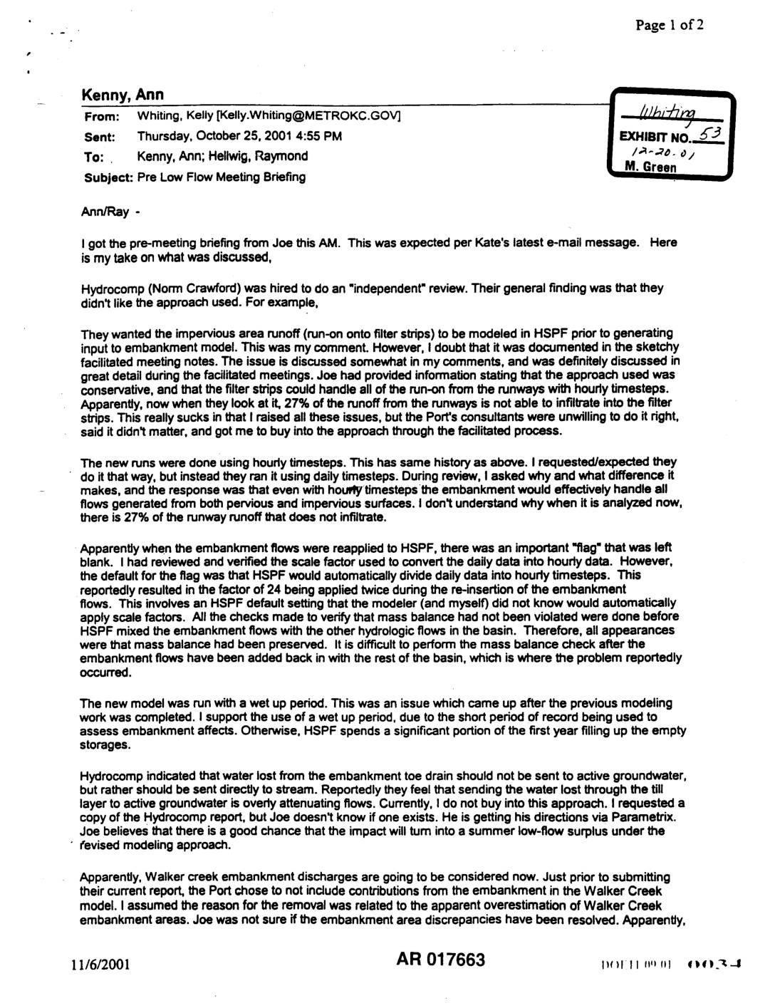
Exhibit 53: Pre Low Flow Meeting Briefing — King County Review of Port Of Seattle HSPF Hydrologic Modeling
Email from Kelly Whiting (King County Department of Natural Resources, Water and Land Resources Division) to Ann Kenny and Raymond Hellwig, dated October 25, 2001, summarizing a pre-meeting briefing on revised low flow hydrologic modeling related to Port Of Seattle airport embankment impacts. Discusses Hydrocomp (Norm Crawford) independent review findings, HSPF modeling errors including incorrect -
 2001-10-19
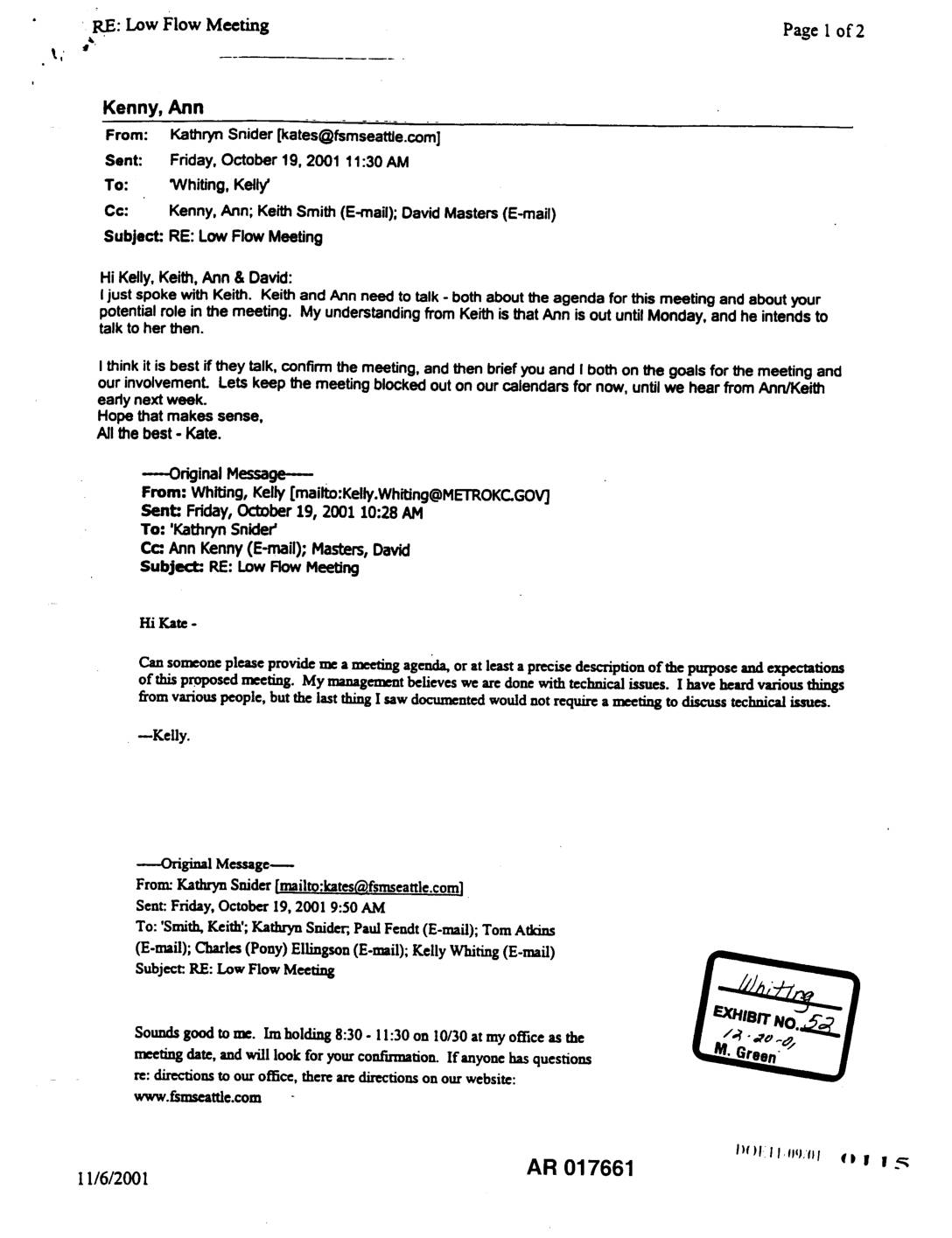
EXH AR017661: RE: Low Flow Meeting — Email Chain, October 19, 2001
Email chain dated October 19, 2001 among Kathryn Snider (Floyd Snider McCarthy, Inc.), Kelly Whiting (Metro King County), Ann Kenny, Keith Smith (Port Of Seattle Water Resources Manager), and David Masters regarding a proposed Low Flow Meeting scheduled for October 30, 2001 at Kate Snider’s office (8:30–11:30 AM). Kelly Whiting requests a meeting agenda or -
 2001-10-01
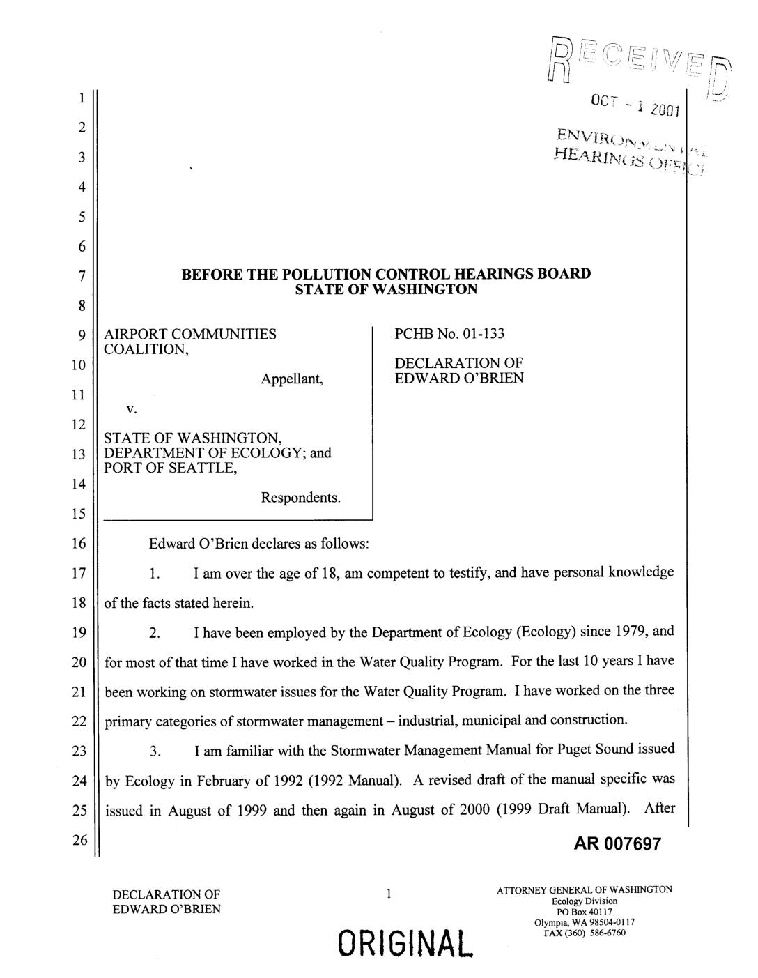
PCHB Doc 01-133: Declaration of Edward O’Brien — ACC v. Ecology and Port Of Seattle
Declaration of Edward O’Brien, Washington Department of Ecology Water Quality Program employee since 1979, filed in PCHB No. 01-133 (Airport Communities Coalition v. State of Washington Department of Ecology and Port Of Seattle). O’Brien describes his familiarity with the 1992 Stormwater Management Manual for Puget Sound, the 1999 Draft Manual, and the final September 27, -
 2001-10-01
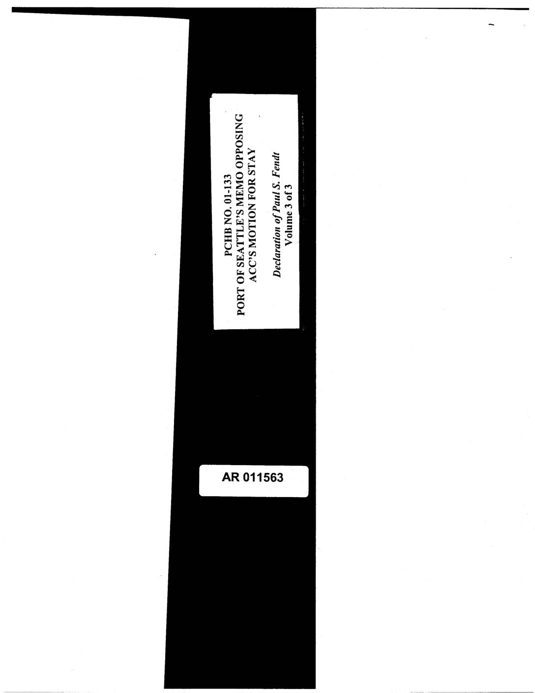
PCHB No. 01-133: Port Of Seattle’s Memo Opposing ACC’s Motion for Stay — Declaration of Paul S. Fendt, Volume 3 of 3
PCHB case No. 01-133, Volume 3 of 3 of Port Of Seattle’s memorandum opposing Airport Communities Coalition (ACC) motion for stay, containing Declaration of Paul S. Fendt. Includes August 3, 2001 letter from King County Department of Natural Resources to Ann Kenny, Senior Permit Specialist, Washington Department of Ecology Northwest Regional Office, Bellevue WA 98008-54552, -
 2001-09-12
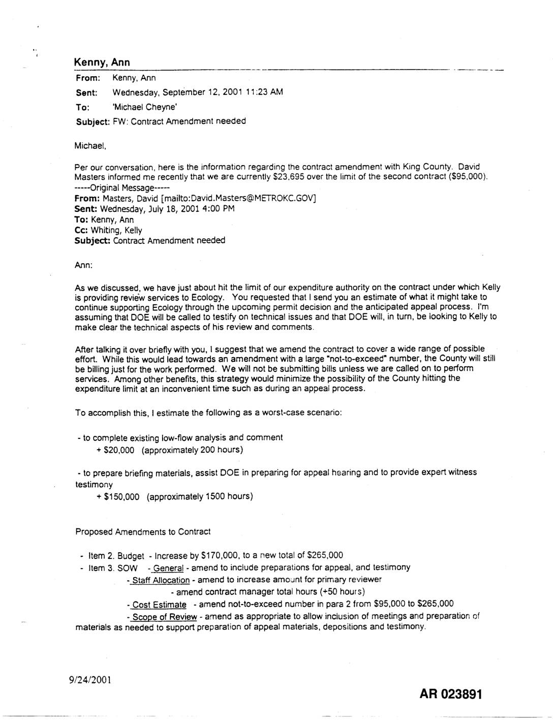
EXH AR023891: Contract Amendment Request — King County Review Services, Ecology Third Runway Permit Appeal
This document is an email chain from September 2001 in which King County's David Masters notifies Ann Kenny that spending on a contract for technical review services provided to the Washington State Department of Ecology has exceeded its $95,000 limit by $23,695. Masters proposes amending the contract to increase the budget by $170,000 to a new total of $265,000, covering anticipated work such as low-flow analysis, preparation of appeal materials, and potential expert witness testimony. Ann Kenny forwarded the information to Michael Cheyne to facilitate the contract amendment process. -
 2001-08-03
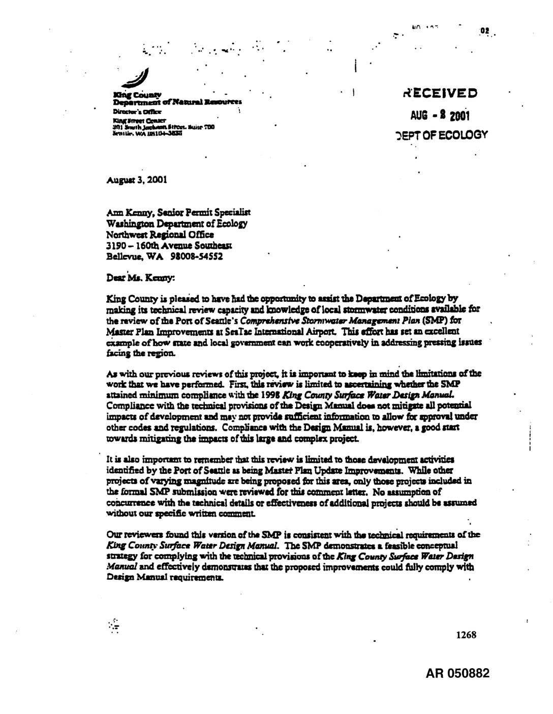
EXH 1268: King County DNR Letter to Ecology STIA Comprehensive Stormwater Management Plan
In August 2001, King County's Department of Natural Resources wrote to the Washington Department of Ecology confirming that the Port of Seattle's Comprehensive Stormwater Management Plan for Sea-Tac International Airport Master Plan improvements met the technical requirements of the 1998 King County Surface Water Design Manual. The review found that the plan demonstrated a feasible conceptual strategy for managing stormwater from proposed airport construction projects. Reviewers noted that while the plan showed compliance with design standards, additional oversight and monitoring would be needed as individual projects moved from planning into construction. -
 2001-08-03
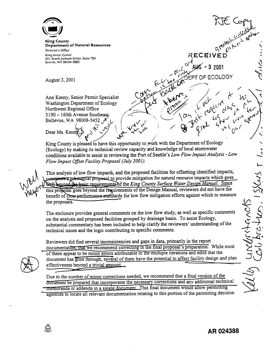
EXH AR024388: King County Review Comments Low Flow Impact Analysis & Offset Facility Proposal, Jul 2001
In August 2001, King County's Department of Natural Resources submitted a technical review letter to the Washington Department of Ecology evaluating the Port of Seattle's Low Flow Impact Analysis and proposed offset facilities for stormwater management near Sea-Tac Airport. The review found the proposal goes well beyond the basic requirements of the King County Surface Water Design Manual and represents substantial mitigation for low flow impacts in affected drainage basins, including Miller and Walker Creeks. Reviewers noted several inconsistencies and data gaps in the documentation and recommended that a final consolidated document be prepared incorporating all corrections and technical memoranda. -
 2001-08-03
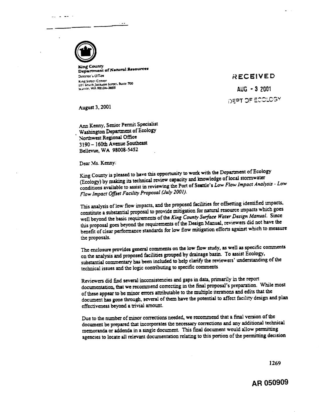
EXH AR050909: King County Review Comments on Port Of Seattle Low Flow Impact Analysis – Flow Impact Offset Facility Proposal, July 2001
Letter dated August 3, 2001 from King County Department of Natural Resources Director Pam Bissonnette to Ann Kenny, Senior Permit Specialist, Washington Department of Ecology Northwest Regional Office, transmitting King County’s technical review comments on the Port Of Seattle’s Low Flow Impact Analysis – Low Flow Impact Offset Facility Proposal (July 2001). The enclosure provides -
 2001-08-03
EXH AR017574: King County Letter to Ecology on Port Of Seattle Comprehensive Stormwater Management Plan for Sea-Tac Airport Master Plan Improvements
Letter dated August 3, 2001 from Pam Bissonnette, Director of King County Department of Natural Resources, to Ann Kenny, Senior Permit Specialist at Washington Department of Ecology Northwest Regional Office, conveying King County’s technical review findings on the Port Of Seattle’s Comprehensive Stormwater Management Plan (SMP) for Master Plan Update (MPU) Improvements at Seattle-Tacoma International -
 2001-07-09
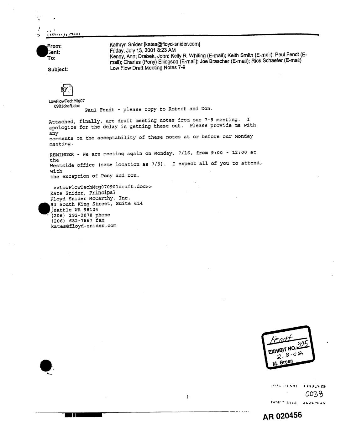
EXH AR020456: Draft Meeting Notes – Low Flow Analysis, STIA Third Runway 401 Permit, July 9, 2001
These draft meeting notes from a July 9, 2001 technical meeting cover low flow analysis related to the 401 Permit decision-making process for Sea-Tac International Airport's Third Runway project. Attendees from the Department of Ecology, King County, Port of Seattle, and several consulting firms discussed methods for determining low stream flow impacts and mitigation requirements across affected watersheds. Key topics included biological effects on fish habitat, a proposed 0.1 cfs mitigation flow for the Des Moines Watershed, and the use of 2-year 7-day low flow rates to guide mitigation planning.