TagAirports(53)
-
 2009-07-01
Appendix A: Detailed table of the Washington State airports
This document is an appendix from Washington State's 2009 Aviation System Plan, listing detailed information about airports across the state. It catalogs each airport by site number, name, city, and service level classifications under both federal (NPIAS) and state systems, covering facilities ranging from major commercial airports like Seattle's Boeing Field to small rural seaplane bases. The table includes nearly 100 airports of varying types and service levels throughout Washington State. -
 2009-07-01
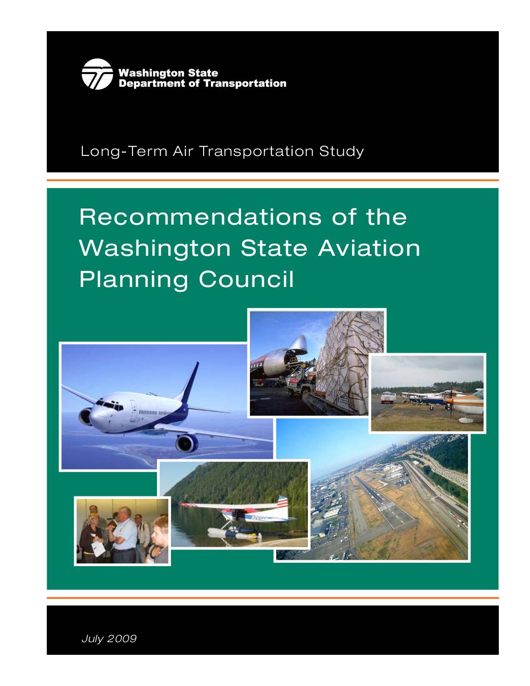
Recommendations of the Washington State Aviation Planning Council: Long-Term Air Transportation Study
The Washington State Aviation Planning Council's 2009 Long-Term Air Transportation Study (LATS) presents recommendations to Governor Gregoire on the future of Washington's aviation system, which had shrunk from 141 to 138 public-use airports with at least two more at risk of closing. The study warns that over the next decade, 12 airports will approach or exceed capacity limits, while land use encroachment and limited resources threaten the system's viability. Public outreach showed strong support for investing in advanced technology and safety improvements, and greater efficiency in existing airports rather than building new ones. -
 2009-01-01
Airport Governance and Ownership
This 2009 report from the National Academies examines how publicly-owned airports in the United States are governed and owned, covering the range of entities—from city governments to special airport authorities—that oversee the country's approximately 4,150 public-use airports. It analyzes the legal principles and state and federal laws that shape airport governance structures, and evaluates the advantages and disadvantages of different models, including privatization. The findings are intended to help communities assess whether their current airport governance arrangements are working effectively or could benefit from change. -
 2001-06-22
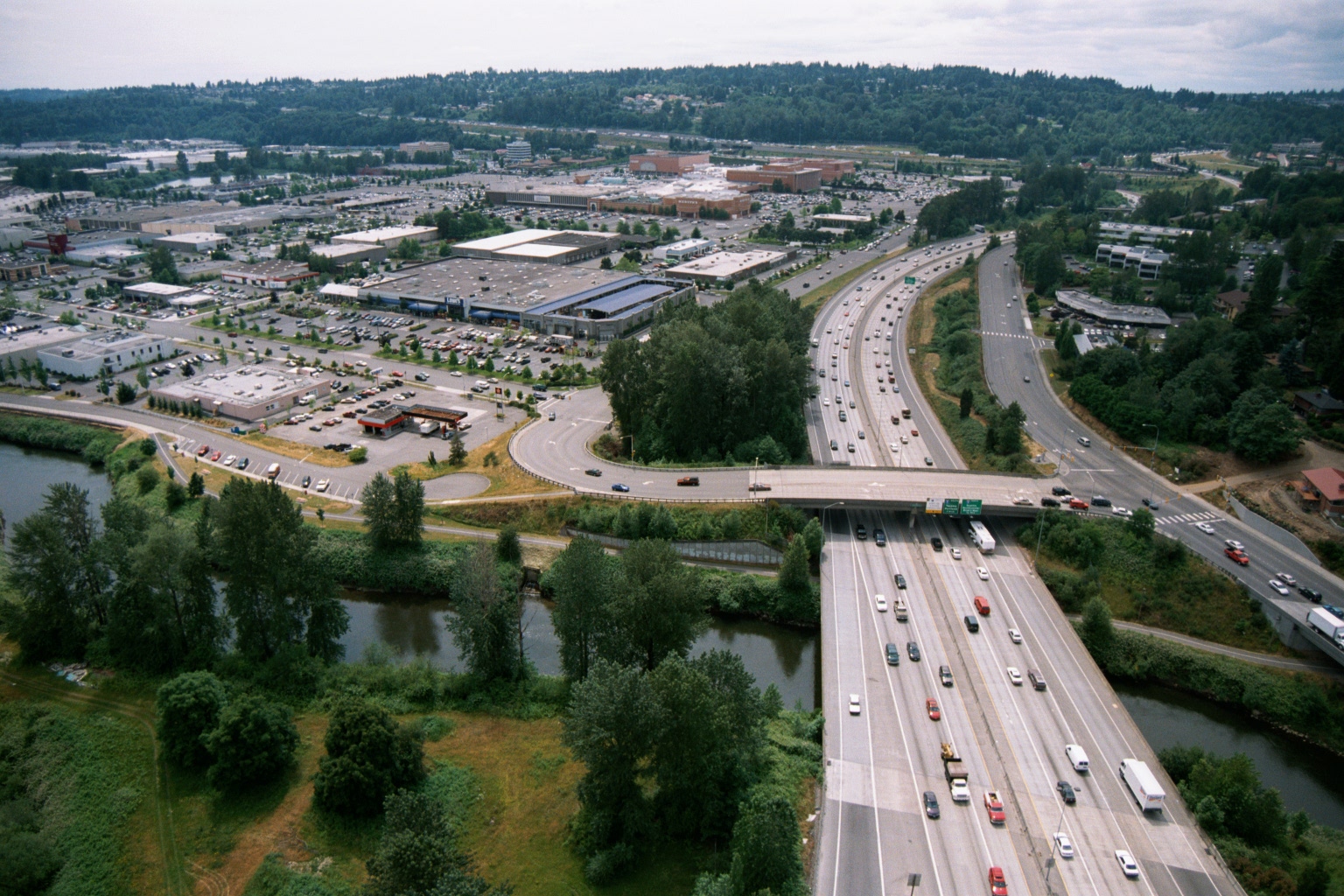
Aerial View of Interstate Highway Crossing River With Suburban Retail Center, Pacific Northwest
Aerial photograph showing a wide multi-lane interstate highway (visible green overhead directional signs) crossing over a river or waterway, with a large suburban retail shopping center and surface parking lots visible to the left. The setting appears to be the Pacific Northwest based on the dense conifer-covered hillsides and overall landscape character. -
 2001-06-22
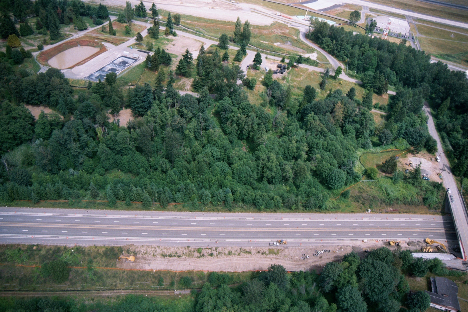
Aerial View of Highway, Forested Buffer, Retention Ponds, and Airport Runway or Taxiway
Aerial photograph showing a multi-lane highway running diagonally across the frame, with a dense forested buffer zone to the north and active construction equipment visible along the roadway margin. A water treatment or retention facility with rectangular settling ponds is visible in the upper left, and what appears to be an airport runway or taxiway is visible at the top of the frame. -
 2001-06-22
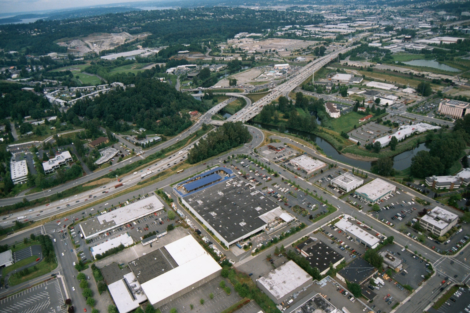
Aerial View of Suburban Commercial Area With Freeway Interchange and Waterway
Aerial photograph showing a suburban commercial and retail area with large big-box stores, parking lots, and a multi-lane freeway interchange with on/off ramps. A river or waterway is visible to the right, and residential and industrial areas extend into the background. -
 2001-06-22
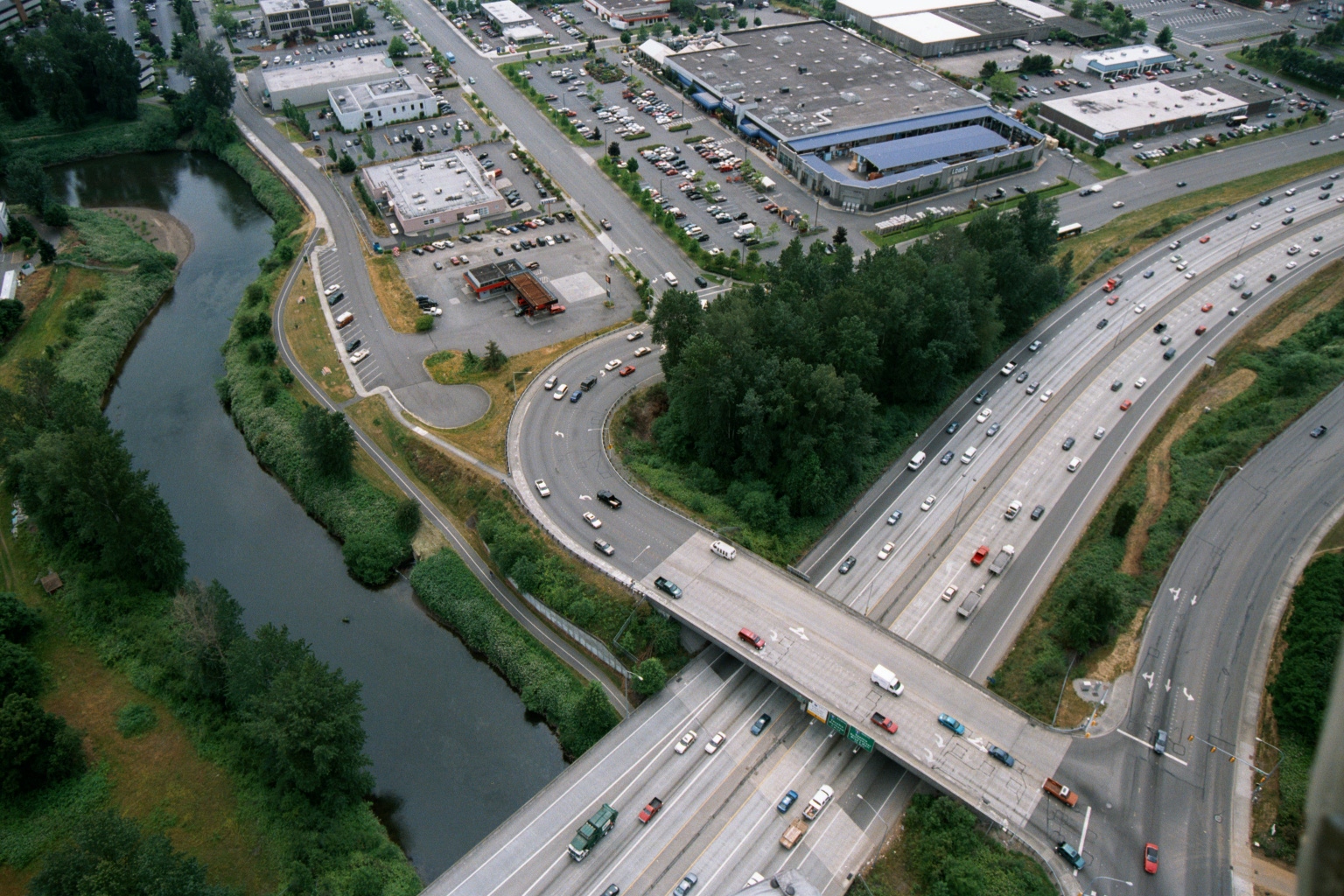
Aerial View of Multi-Lane Highway Interchange Near Commercial Area in Pacific Northwest
Aerial photograph showing a busy multi-lane highway interchange featuring an overpass bridge crossing a parallel road, with a river and green vegetation visible to the left. Commercial and industrial buildings with large parking lots are visible in the upper portion of the image, consistent with a suburban Pacific Northwest setting. -
 2001-06-22
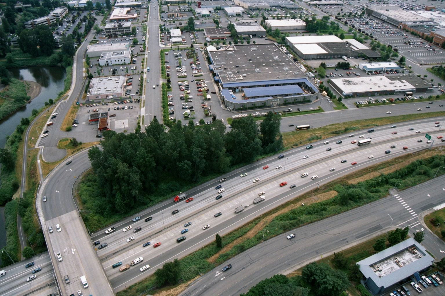
Aerial View of Freeway and Big-Box Retail Zone Including Lowe’s, with Waterway
Aerial photograph showing a multi-lane freeway (likely I-5 or similar Pacific Northwest interstate) intersecting with a commercial retail zone. A Lowe's home improvement store logo is visible among the big-box retail buildings, with a river or waterway visible to the left and extensive parking lots throughout. -
 2001-06-22
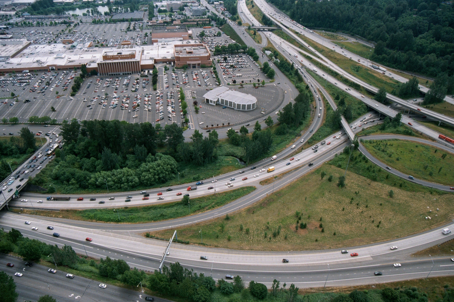
Aerial View of Regional Shopping Mall with Freeway Interchange, Pacific Northwest
Aerial photograph showing a large regional shopping mall with extensive surface parking lots alongside a complex multi-level freeway interchange. Visible signage on the mall building appears to read 'The Bon Marché' and 'Nordstrom,' suggesting this may be Bellevue Square or a similar Pacific Northwest suburban mall near Seattle. -
 2001-06-22
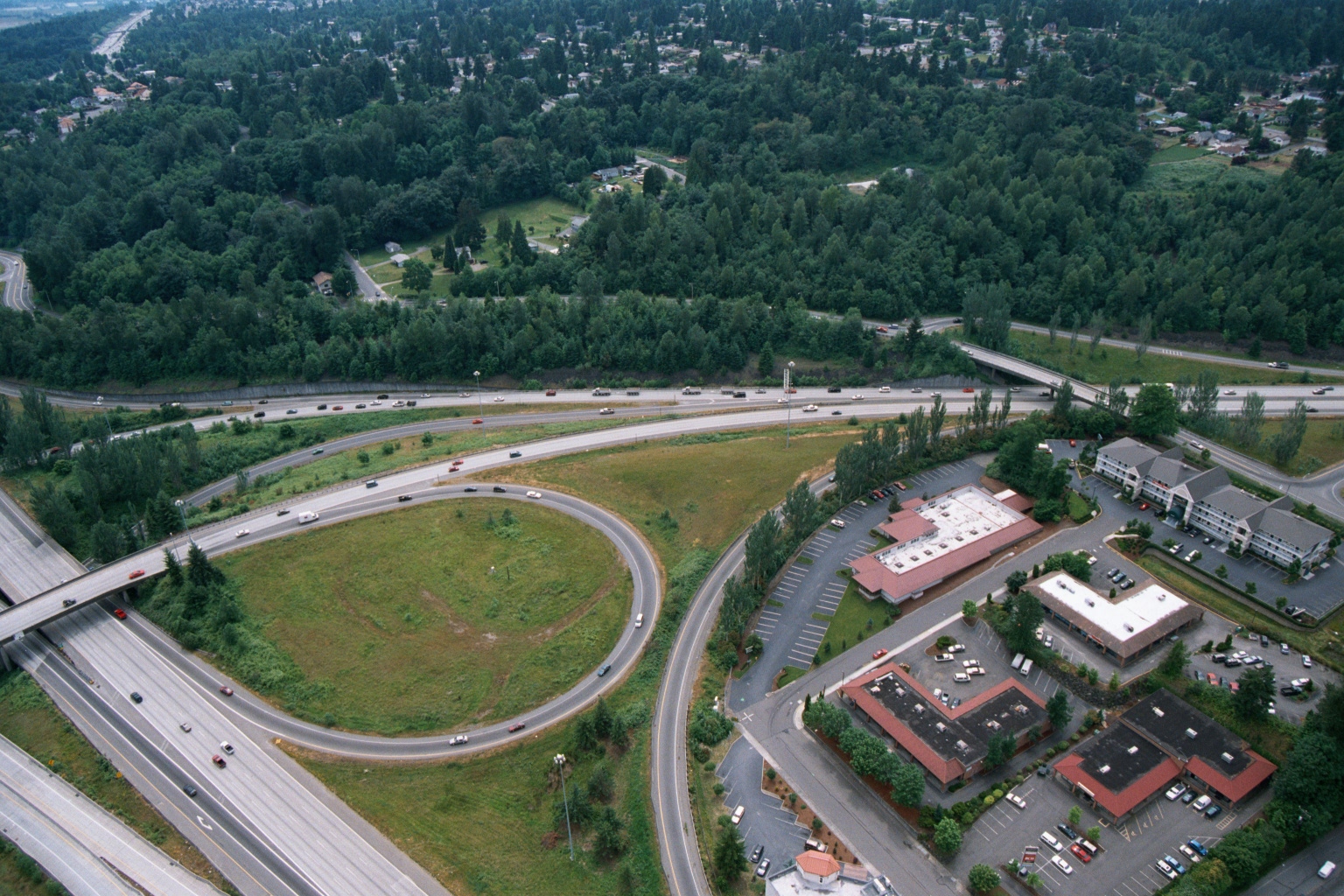
Aerial View of Cloverleaf Freeway Interchange Near Suburban Commercial Development
Aerial photograph showing a cloverleaf or loop freeway interchange, likely along a major interstate corridor in the Pacific Northwest, surrounded by dense conifer forest and suburban development. To the right are several commercial or office park buildings with surface parking lots, and what appears to be a multi-story hotel or motel complex.