TagAirports(140)
-
 2001-06-22
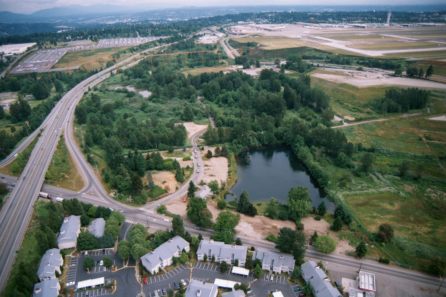
Aerial View of Sea-Tac Airport Runway Area and Surrounding Residential Development
Aerial photograph looking north toward Seattle-Tacoma International Airport (Sea-Tac), showing the airport's runways and tarmac in the upper right, a curved highway interchange (likely SR-99 or I-5 corridor area), a retention pond surrounded by green space, and apartment complexes in the foreground. The image appears to document land use and development patterns in the airport noise-impact zone, likely in the SeaTac/Tukwila area of Washington State. -
 2001-06-22
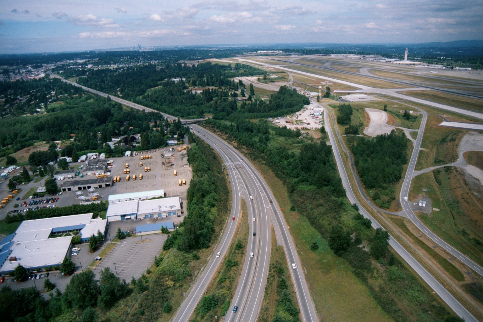
Aerial View of Sea-Tac Airport Western Perimeter and Adjacent Highway
Aerial photograph showing a multi-lane highway running alongside the western perimeter of what appears to be Seattle-Tacoma International Airport, with visible runways and control tower in the upper right. A school bus depot and light industrial facilities are visible on the left, with a distant city skyline on the horizon. -
 2001-06-22
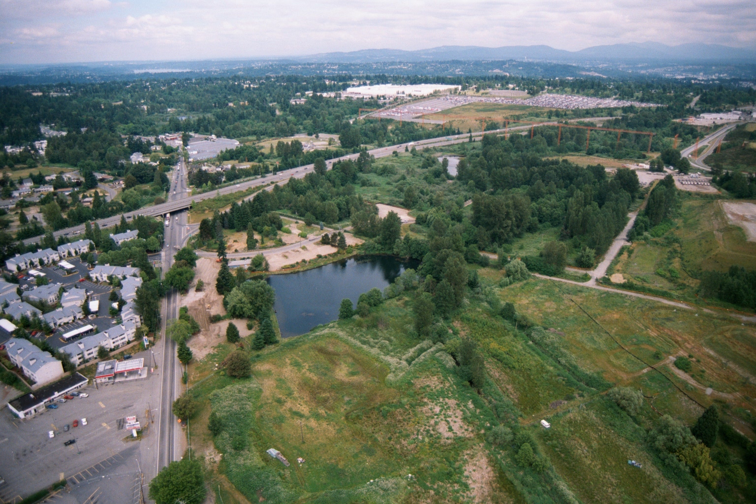
Aerial View of Highway Interchange and Development Near Sea-Tac Region
Aerial photograph showing a highway interchange, a small pond or retention basin, residential and commercial development on the left, and extensive undeveloped or semi-developed land to the right. Mountains and a broad forested valley are visible in the background, suggesting a Pacific Northwest setting consistent with the Seattle/Sea-Tac region. -
 2001-06-22
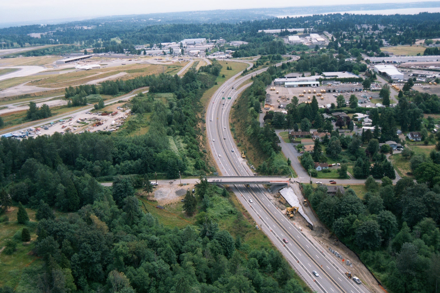
Aerial View of Highway Construction Near Sea-Tac Airport
Aerial photograph showing a multi-lane highway (likely Interstate 5 or SR-518) undergoing construction or widening near what appears to be Seattle-Tacoma International Airport, visible in the upper left with its runways and terminal facilities. A bridge overpass is under construction, with heavy equipment visible alongside the roadway corridor. -
 2001-06-22
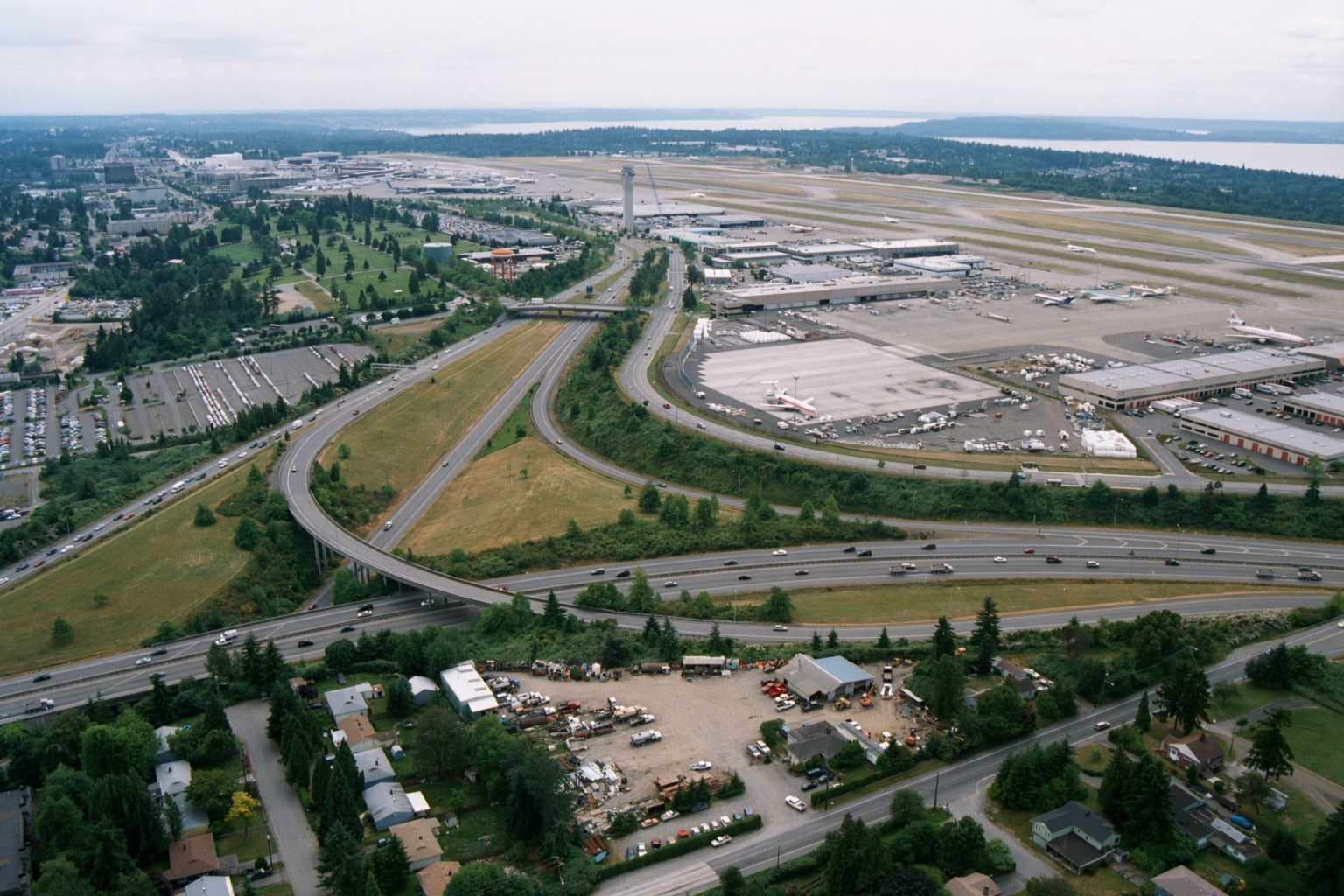
Aerial View of Sea-Tac Airport, Terminal Complex, and I-5 Interchange
Aerial photograph looking north toward Seattle-Tacoma International Airport (Sea-Tac), showing the terminal complex, control tower, aircraft aprons, and runways adjacent to Puget Sound in the background. The foreground shows a major freeway interchange (likely Interstate 5 and SR 518/Sea-Tac access roads) with surrounding commercial and residential development, consistent with imagery from the 1970s–1980s based on aircraft liveries and infrastructure visible on the ramp. -
 2001-06-22
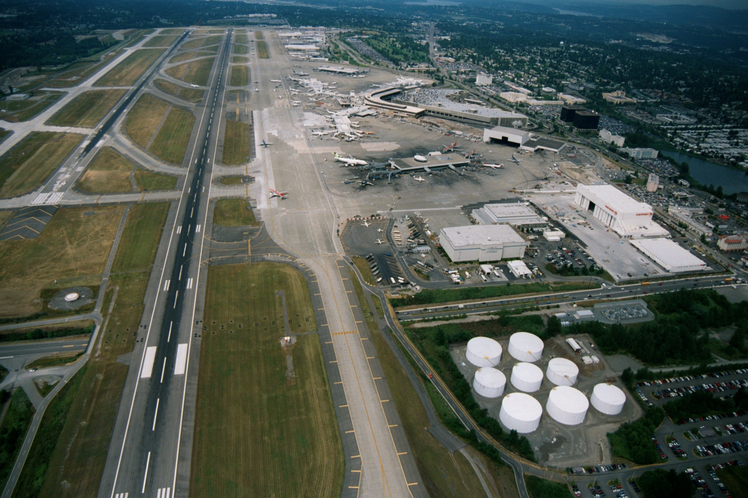
Sea-Tac Airport Aerial Photograph
Aerial photograph showing a large commercial airport with multiple parallel runways, a terminal with aircraft at gates, maintenance hangars, fuel storage tanks, and surrounding urban development. The layout, scale, and regional geography are consistent with Seattle-Tacoma International Airport, though no visible text or signage confirms this identification. -
 2001-06-22
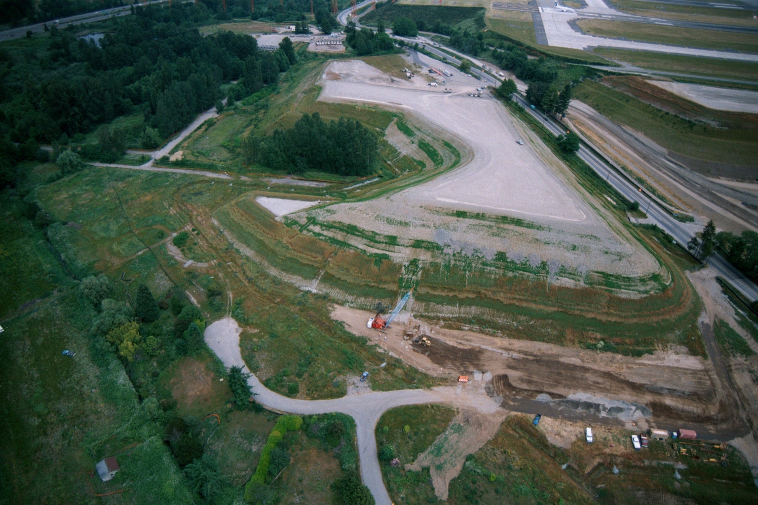
Aerial View of Graded Earthen Mound Under Construction Adjacent to Sea-Tac Airport Taxiway
Aerial photograph showing a large graded earthen mound or landfill with terraced slopes, construction equipment visible at base, adjacent to what appears to be an airport taxiway or runway in the upper right. Dense tree cover surrounds the site, with access roads and active ground disturbance visible. -
 2001-06-22
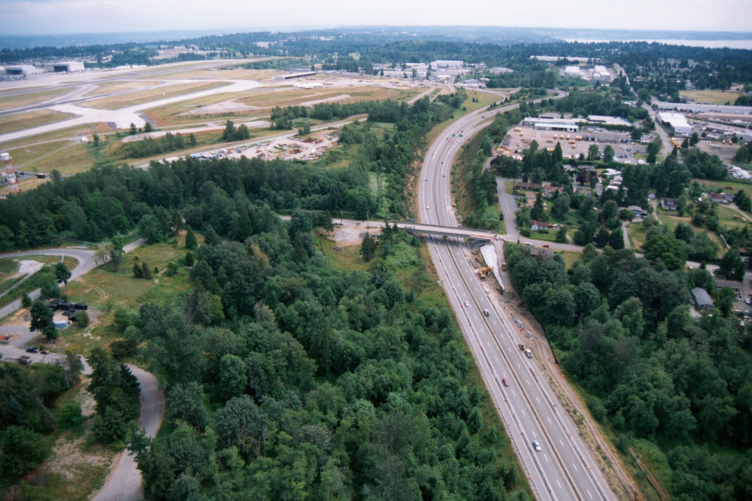
Aerial View of Highway Construction Adjacent to Sea-Tac Airport
Aerial photograph showing a multi-lane highway (likely Interstate 5 or SR-99) undergoing construction or widening adjacent to what appears to be Seattle-Tacoma International Airport, visible in the upper left with its runways and terminal facilities. A bridge overpass is under construction mid-frame, with heavy equipment visible, surrounded by forested areas and suburban development. -
 2001-06-22
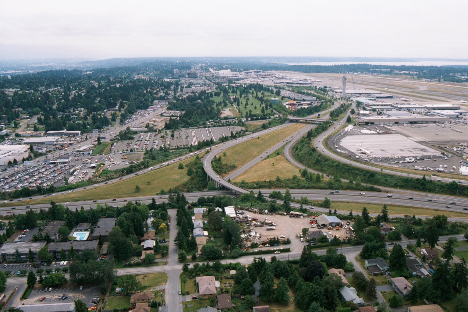
Aerial View of Sea-Tac Airport, Interstate 5, and Surrounding Communities
Aerial photograph looking northward toward Seattle-Tacoma International Airport (SEA-TAC), showing the airport terminal, control tower, runways, and aircraft gates on the right, with Interstate 5 interchange in the foreground and Puget Sound visible on the horizon. Residential neighborhoods, commercial properties, and parking areas in the cities of SeaTac or Des Moines are visible in the foreground, illustrating the airport's proximity to surrounding communities relevant to noise-impact planning. -
 2001-06-22
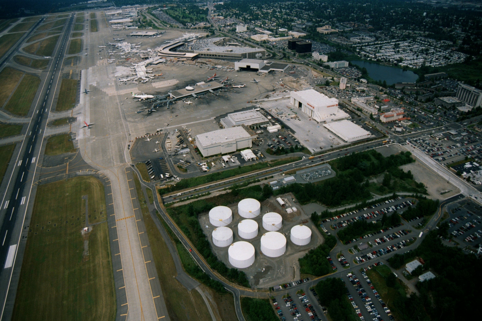
Sea-Tac Airport Aerial View Showing Terminal, Runways, and Fuel Storage Tanks
Aerial photograph of Seattle-Tacoma International Airport showing the main terminal complex, aircraft gates with multiple commercial airliners, parallel runways, maintenance hangars, and a cluster of white aviation fuel storage tanks in the foreground. The surrounding cities of SeaTac and Des Moines are visible, along with a pond/lake to the northeast of the terminal.