TagAirports(140)
-
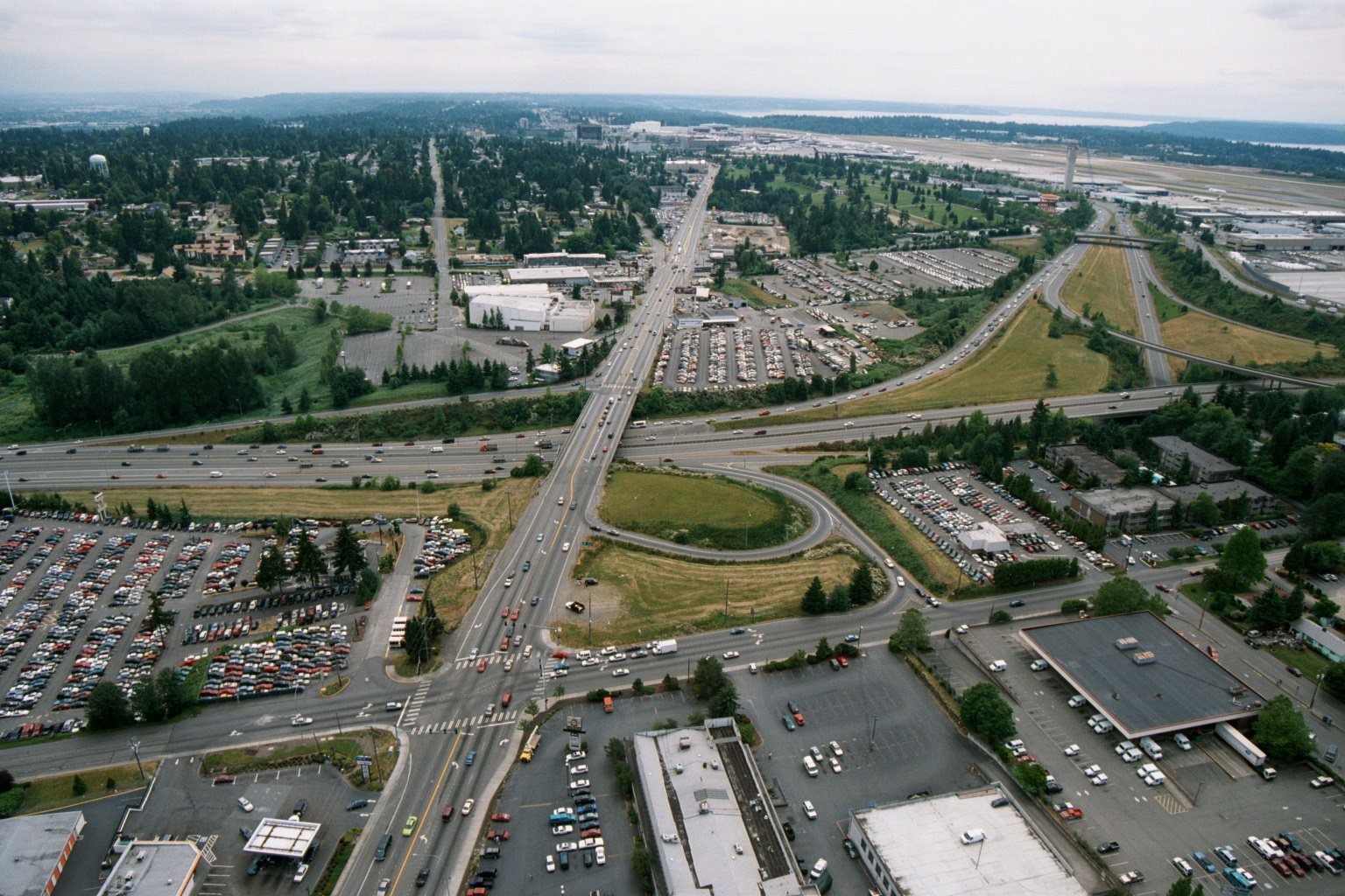
Aerial View of Highway Interchange Near Sea-Tac Airport, 1970s–1980s
Aerial photograph looking northward toward Seattle-Tacoma International Airport (visible runway and terminal area in background right), showing a major highway interchange—likely International Boulevard (SR-99) crossing Interstate 5—with surrounding commercial parking lots, auto dealerships, and suburban development. The image appears to be from the 1970s or early 1980s based on vehicle styles and development density, consistent with a Sea-Tac Airport noise-policy or planning archive. -
 2001-06-22
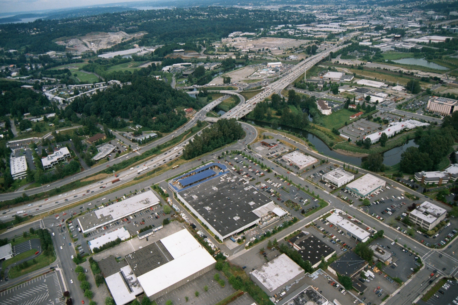
Aerial View of Suburban Commercial Area With Freeway Interchange and Waterway
Aerial photograph showing a suburban commercial and retail area with large big-box stores, parking lots, and a multi-lane freeway interchange with on/off ramps. A river or waterway is visible to the right, and residential and industrial areas extend into the background. -
 2001-06-22
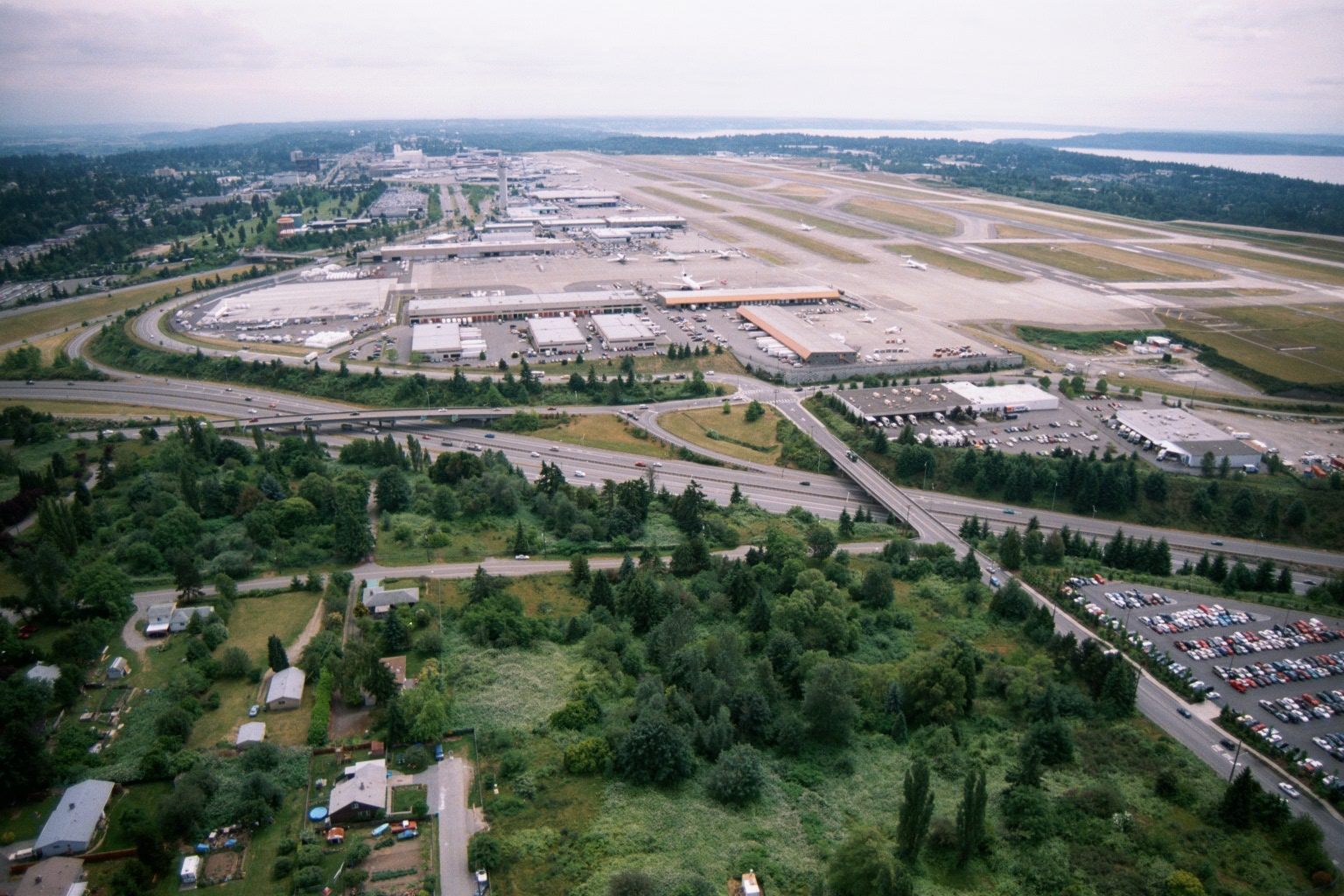
Aerial View of Sea-Tac Airport Looking North, with Puget Sound in Background
An aerial photograph looking northward over Seattle-Tacoma International Airport, showing the terminal complex, parallel runways, cargo facilities, and surrounding residential and commercial areas. Interstate 99 (International Boulevard) and Interstate 5 are visible in the foreground, with Puget Sound visible in the upper right background. -
 2001-06-22
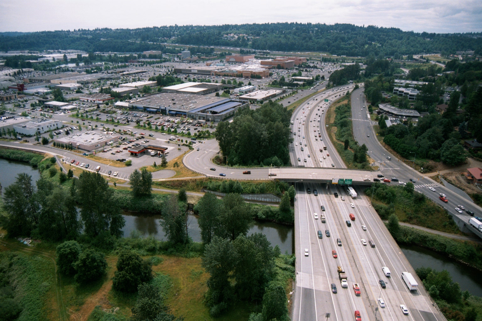
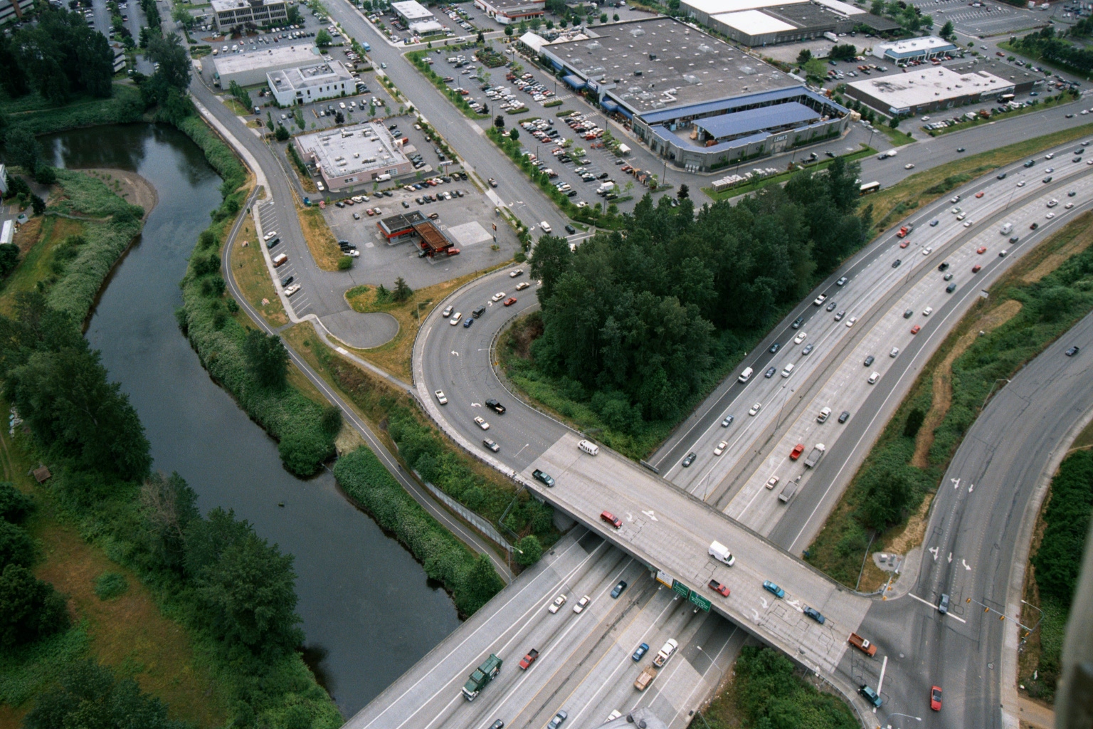
Aerial View of Interstate Highway Crossing River With Suburban Retail Center, Pacific Northwest
Aerial photograph showing a wide multi-lane interstate highway (visible green overhead directional signs) crossing over a river or waterway, with a large suburban retail shopping center and surface parking lots visible to the left. The setting appears to be the Pacific Northwest based on the dense conifer-covered hillsides and overall landscape character. -
 2001-06-22
Aerial View of Multi-Lane Highway Interchange Near Commercial Area in Pacific Northwest
Aerial photograph showing a busy multi-lane highway interchange featuring an overpass bridge crossing a parallel road, with a river and green vegetation visible to the left. Commercial and industrial buildings with large parking lots are visible in the upper portion of the image, consistent with a suburban Pacific Northwest setting. -
 2001-06-22
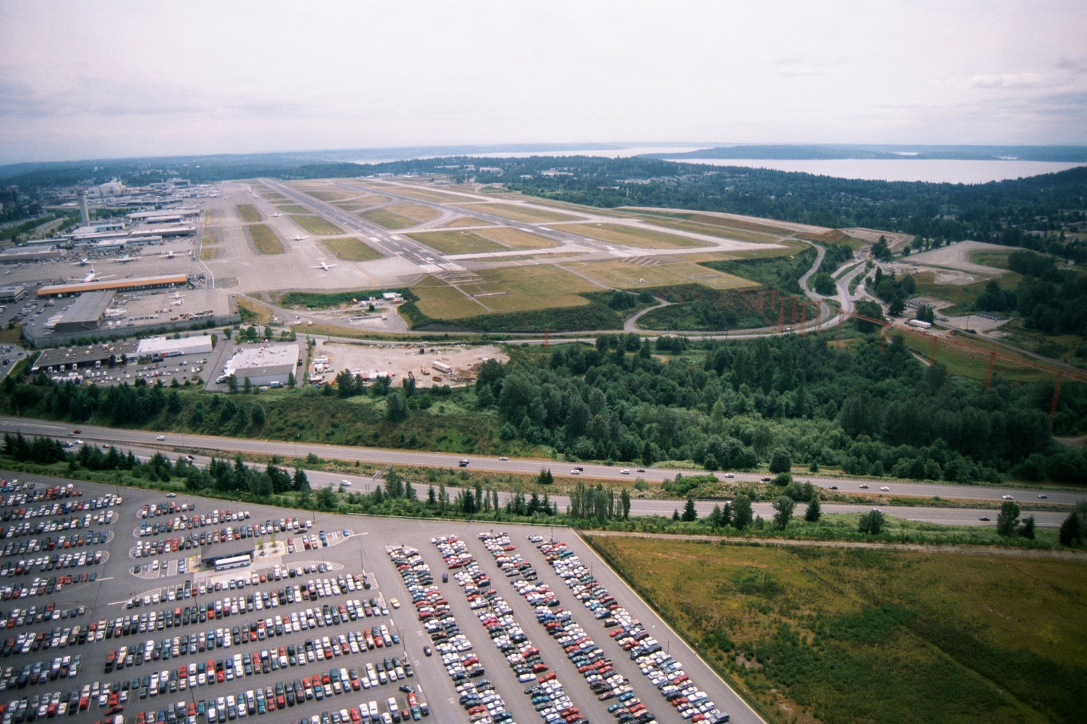
Aerial View of Sea-Tac Airport Looking North Toward Puget Sound
Aerial photograph looking northward over Seattle-Tacoma International Airport, showing the parallel runway complex, terminal and cargo areas on the west side, a large airport parking lot in the foreground, Interstate 5 running across the middle ground, and Puget Sound visible in the background. The image appears to date from the 1990s based on infrastructure and vehicle styles, and is consistent with noise-policy documentation of the airport's runway layout and surrounding land use. -
 2001-06-22
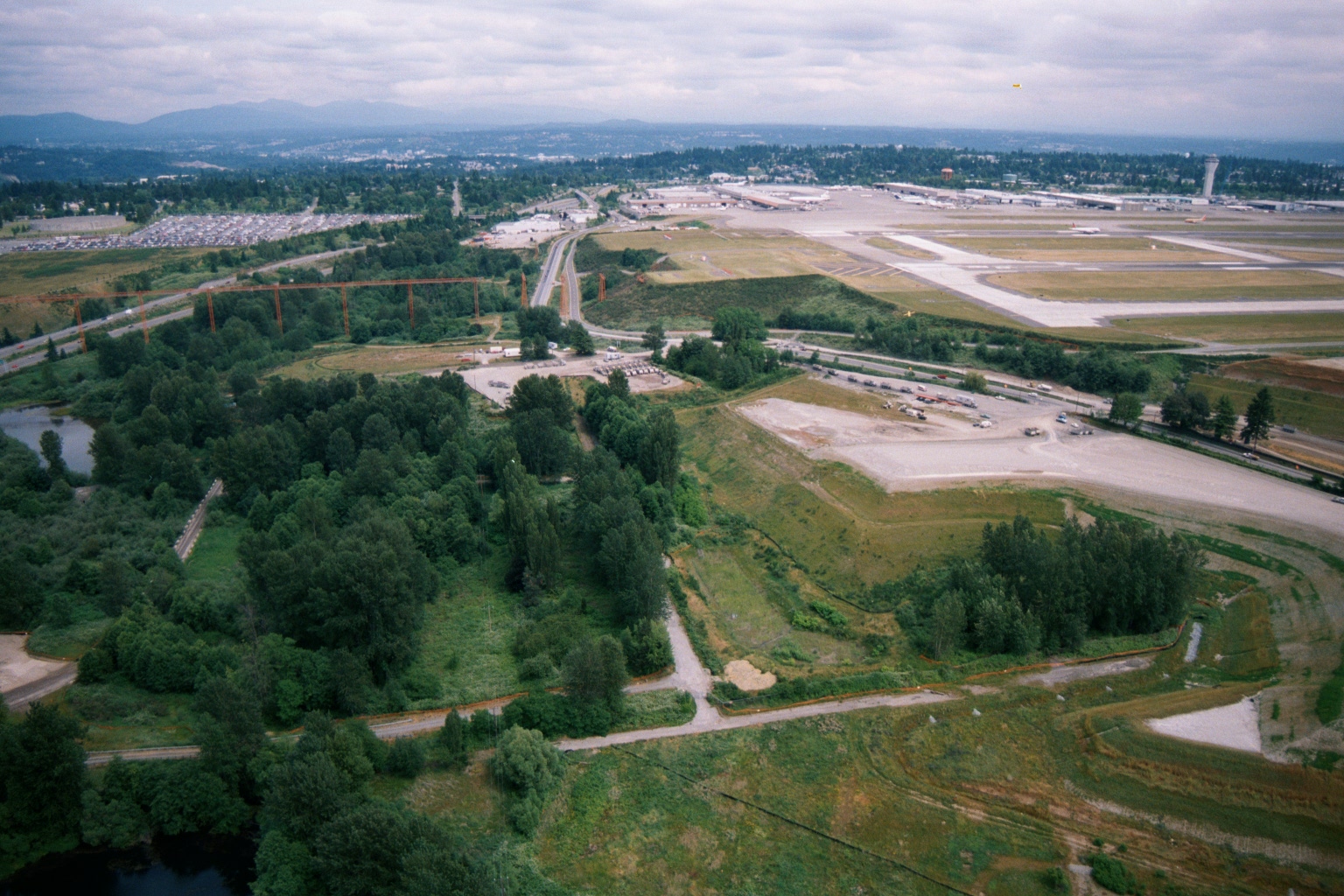
Sea-Tac Airport Aerial View Looking North Showing Runway Complex, Terminal, and Highway Interchange
Aerial photograph looking north/northeast showing Seattle-Tacoma International Airport's runway complex and terminal area in the upper right, with undeveloped green space, wetlands, and a major highway interchange visible in the foreground. Construction activity and a large parking lot are visible in the mid-ground, suggesting this may date from an airport expansion period. -
 2001-06-22
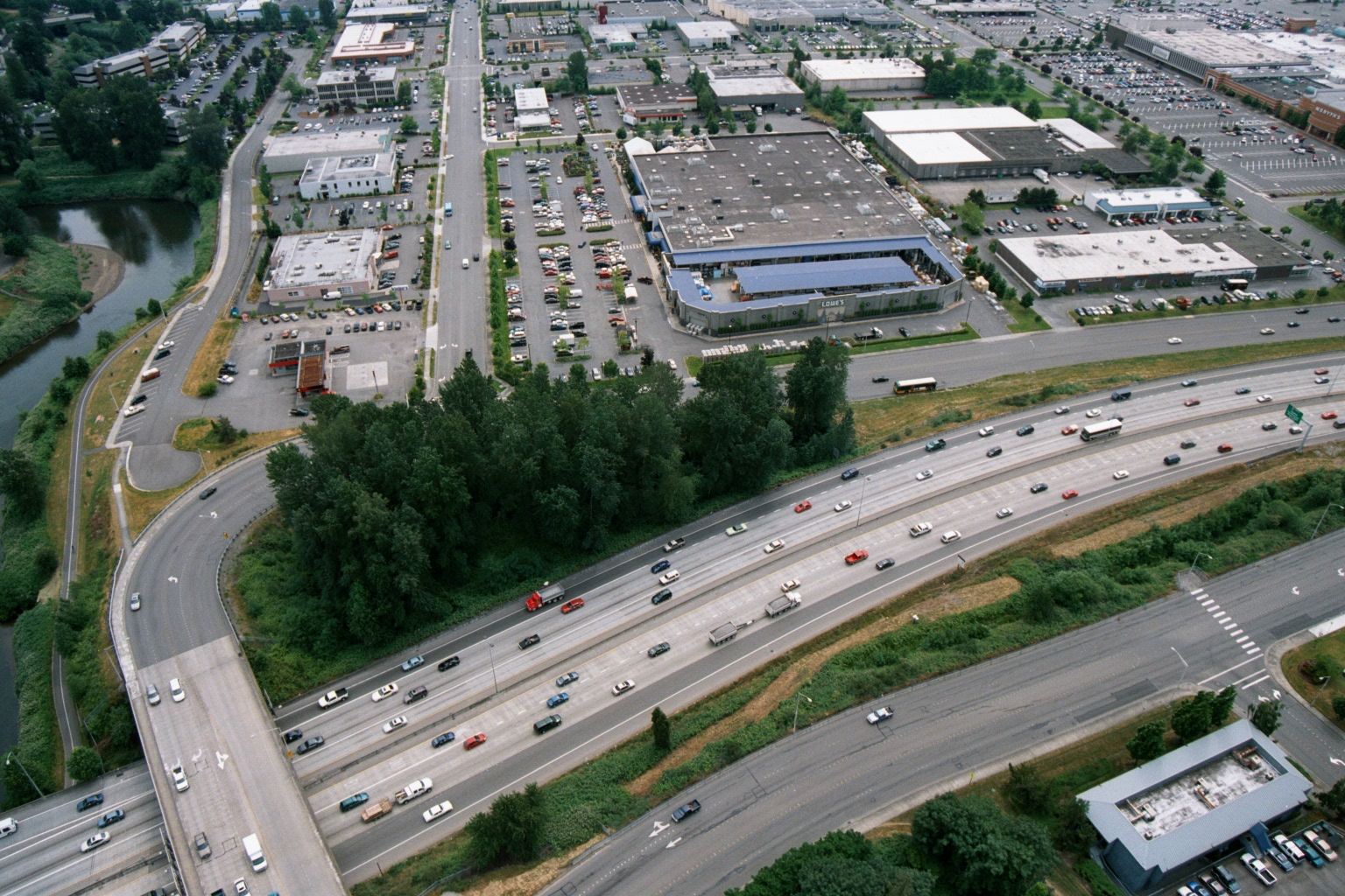
Aerial View of Freeway and Big-Box Retail Zone Including Lowe’s, with Waterway
Aerial photograph showing a multi-lane freeway (likely I-5 or similar Pacific Northwest interstate) intersecting with a commercial retail zone. A Lowe's home improvement store logo is visible among the big-box retail buildings, with a river or waterway visible to the left and extensive parking lots throughout. -
 2001-06-22
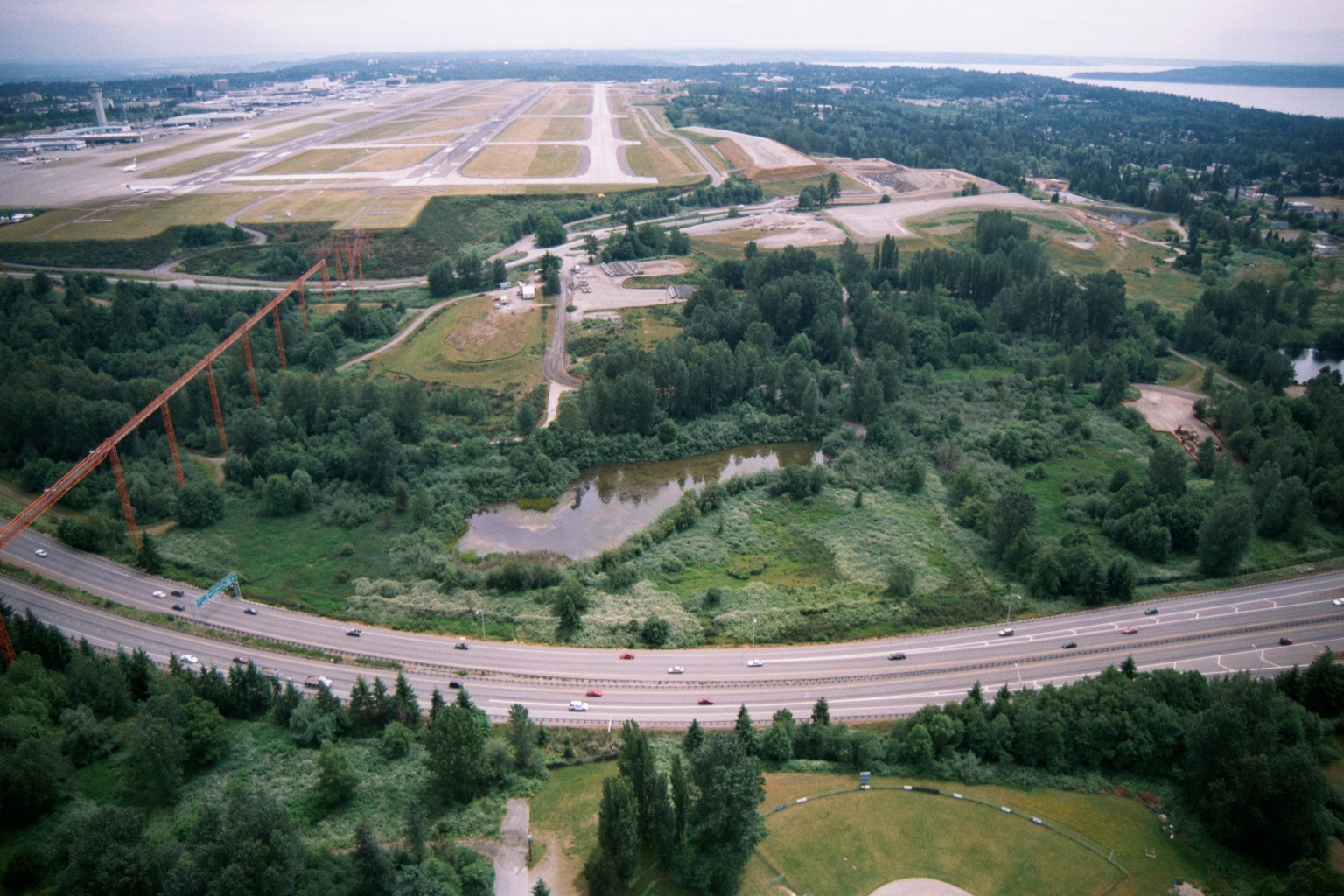
Aerial View of Sea-Tac Airport Runway Complex and SR-518 Corridor
Aerial photograph looking north toward Seattle-Tacoma International Airport (Sea-Tac), showing the runway complex and terminal area in the background. In the foreground, a multi-lane highway (likely SR-518 or I-5 corridor) curves past a wetland area, with high-voltage transmission towers visible at left and Puget Sound visible in the upper right distance. -
 2001-06-22
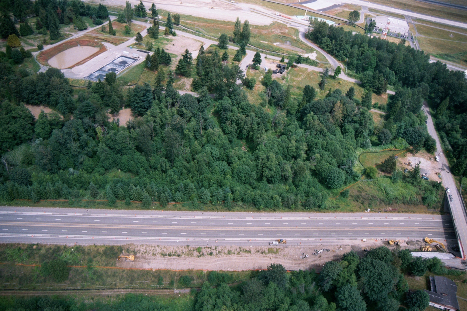
Aerial View of Highway, Forested Buffer, Retention Ponds, and Airport Runway or Taxiway
Aerial photograph showing a multi-lane highway running diagonally across the frame, with a dense forested buffer zone to the north and active construction equipment visible along the roadway margin. A water treatment or retention facility with rectangular settling ponds is visible in the upper left, and what appears to be an airport runway or taxiway is visible at the top of the frame.