TagAirports(140)
-
 2001-06-22
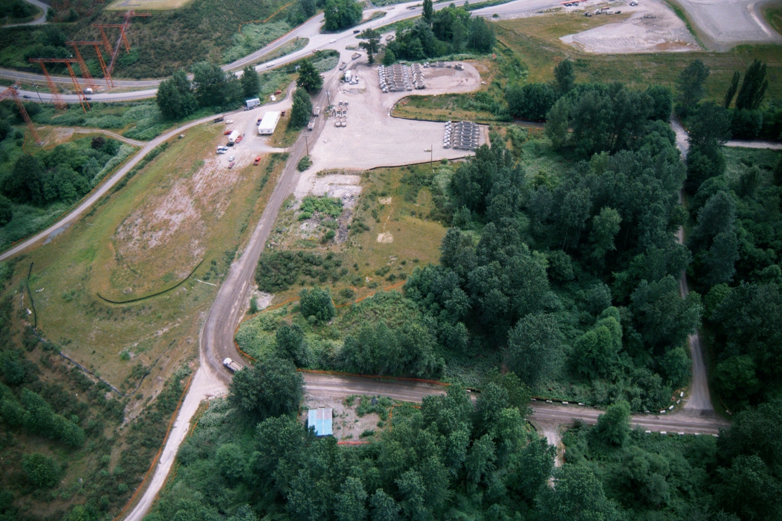
Aerial View of Industrial Gravel Storage Yard Near Sea-Tac Airport Highway Interchange
Aerial photograph showing a gravel yard with rows of stored equipment or materials, adjacent roadways, utility transmission towers on the left, and surrounding vegetation. The site appears to be an industrial staging or storage area near a highway interchange, consistent with construction or infrastructure operations in the Sea-Tac Airport vicinity. -
 2001-06-22
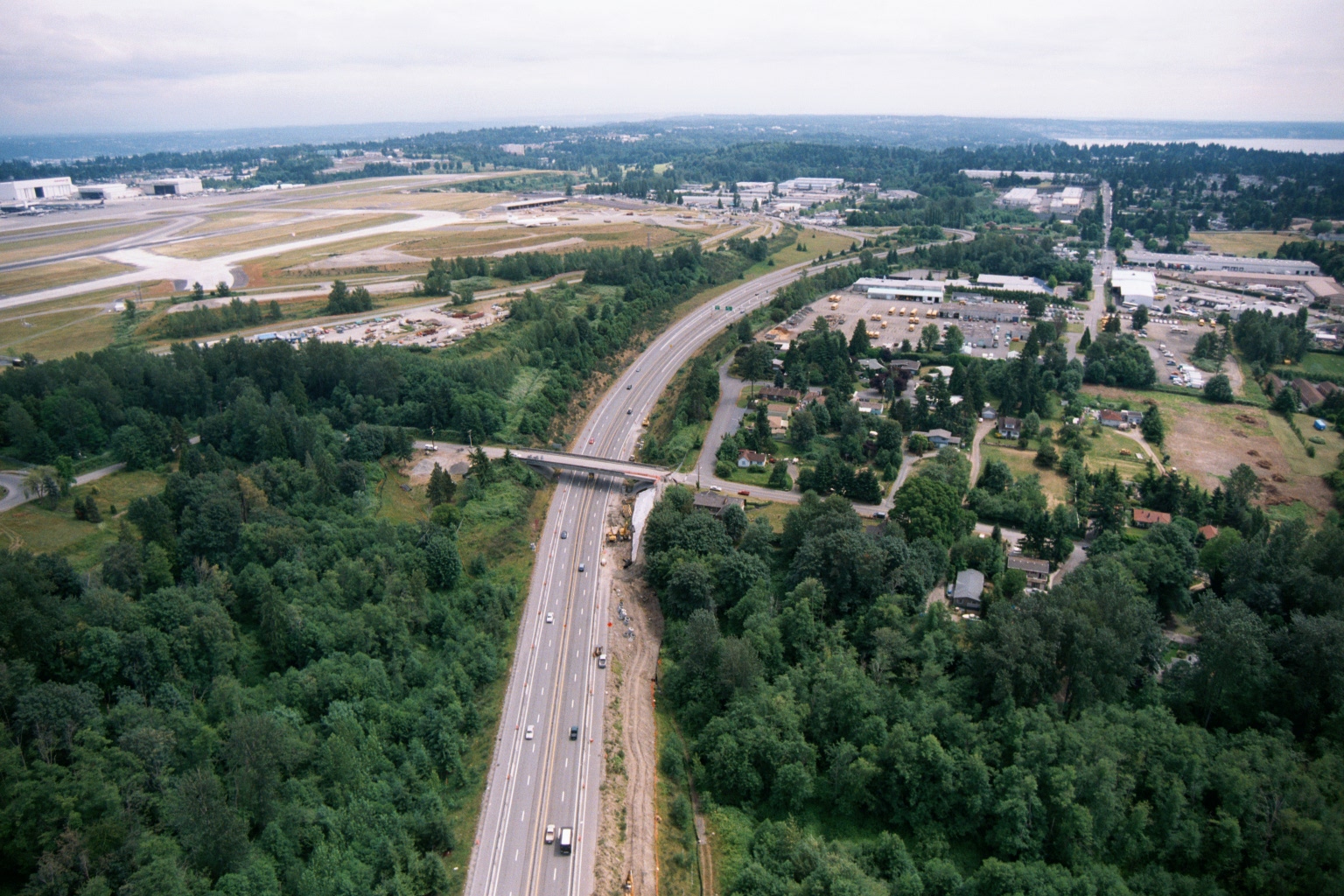
Aerial View of Highway Corridor and Construction Near Sea-Tac Airport
Aerial photograph showing a multi-lane highway (likely SR-509 or I-5) running through a forested corridor alongside Seattle-Tacoma International Airport, visible at upper left with runways and large aircraft hangars. Construction activity and equipment are visible along the highway median and near an overpass, suggesting road expansion or infrastructure work underway. -
 2001-06-22
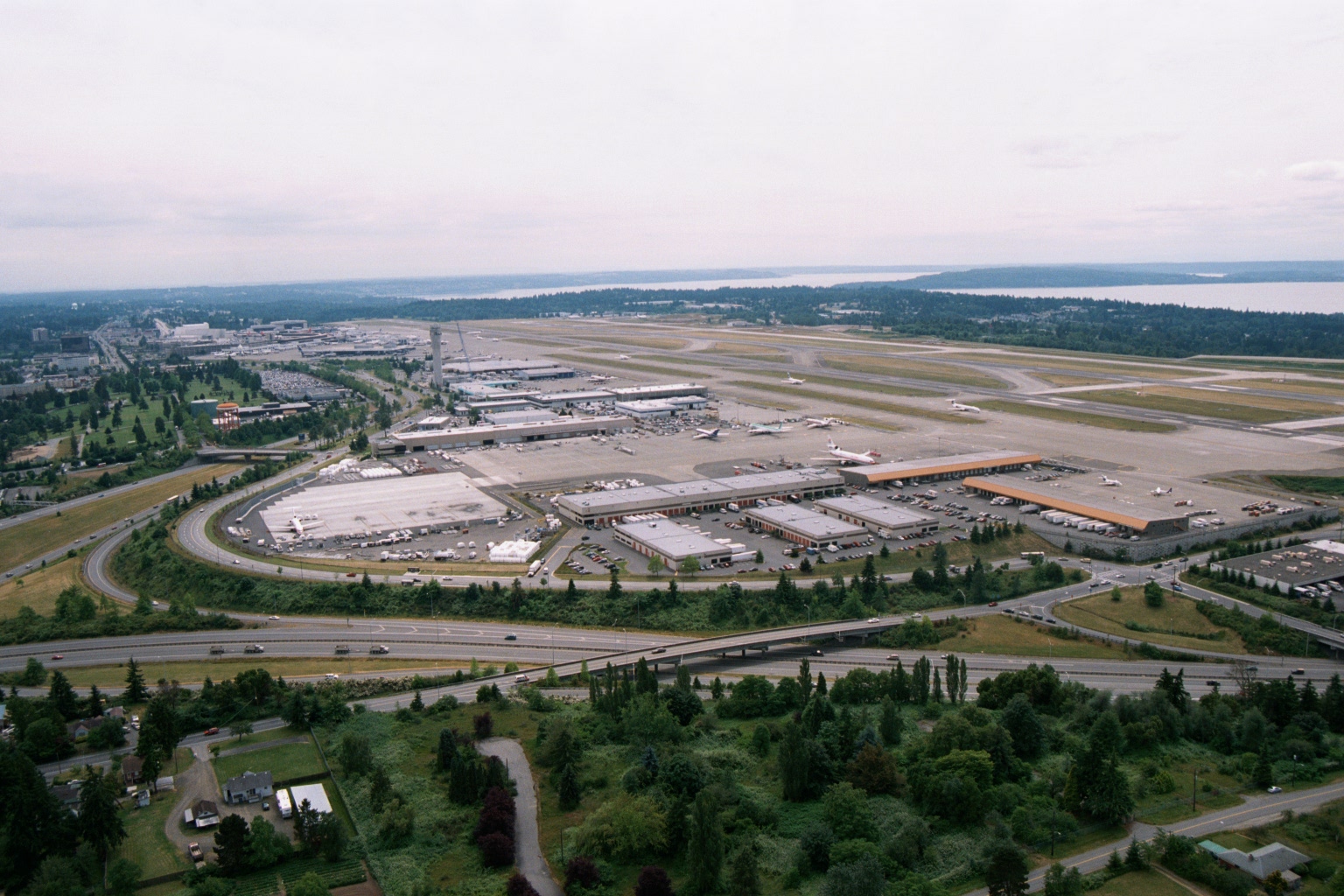
Aerial View of Sea-Tac Airport Looking North, with Puget Sound in Background
Aerial photograph looking north over Seattle-Tacoma International Airport (Sea-Tac), showing the main terminal complex, parallel runways, cargo/maintenance facilities, and Interstate 5 in the foreground. Puget Sound and forested areas are visible in the background, consistent with Sea-Tac's geographic setting between Seattle and Tacoma, Washington. -
 2001-06-22
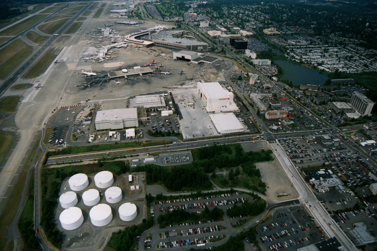
Aerial View of Sea-Tac Airport with Northwest Airlines Maintenance Hangar
Aerial photograph of Seattle-Tacoma International Airport showing the terminal complex, aircraft gates, runways, and fuel storage tanks in the foreground. A large maintenance hangar bearing the Northwest Airlines logo and name is prominently visible on the airport's south side, along with extensive parking areas and surrounding SeaTac community development. -
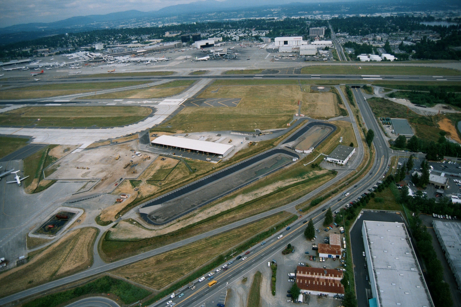 2001-06-22
Sea-Tac Airport Aerial View Showing Terminal, Runways, and Groundside Construction
Aerial photograph showing Seattle-Tacoma International Airport with active runways, terminal gates, and what appears to be a significant ground-side construction project in the foreground, including new roadways, drainage channels, and a large facility building under development. Surrounding commercial and residential areas of the SeaTac/Burien area are visible, along with multiple aircraft at gates. -
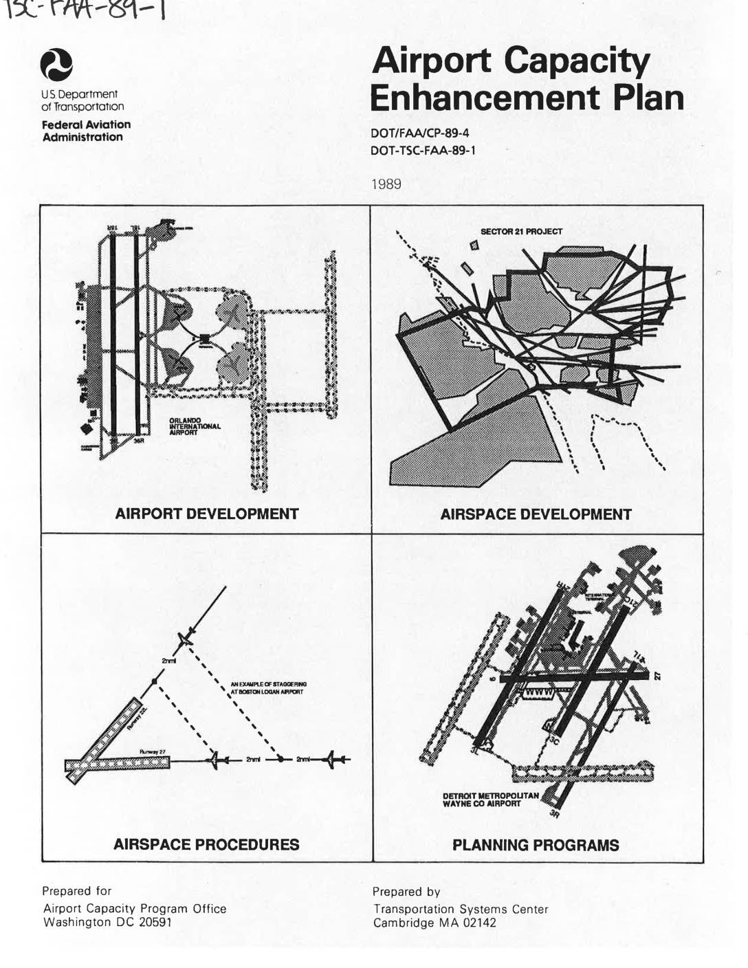 1989-05-01
Airport Capacity Enhancement Plan 1989
The 1989 Airport Capacity Enhancement Plan, produced by the FAA and U.S. Department of Transportation, outlines efforts to increase airport capacity and efficiency across the U.S. air system without compromising passenger safety or the environment. It identifies causes of capacity and delay problems, projects the impact of increased air traffic over the following decade, and describes planned projects covering airport development, airspace procedures, new equipment, and capacity planning studies. Note: this document addresses national airport capacity issues broadly and does not focus specifically on Sea-Tac Airport or local noise policy. -
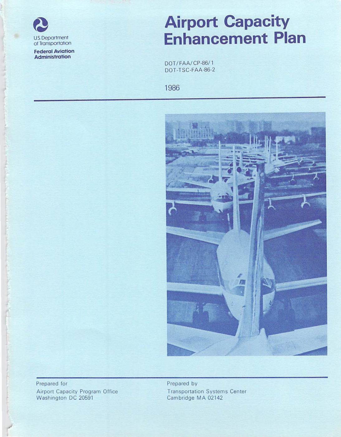 1986-01-01
Airport capacity enhancement plan
This 1986 Federal Aviation Administration report outlines the Airport Capacity Enhancement Plan, which identifies 53 planned and ongoing FAA projects aimed at reducing aircraft operating delays and improving airport capacity across the U.S. national airport system. The plan examines the causes and projected growth of capacity and delay problems over the following decade while ensuring no compromises to safety or the environment. Note that this document addresses national airport capacity issues broadly and does not specifically focus on noise policy at Seattle-Tacoma International Airport. -
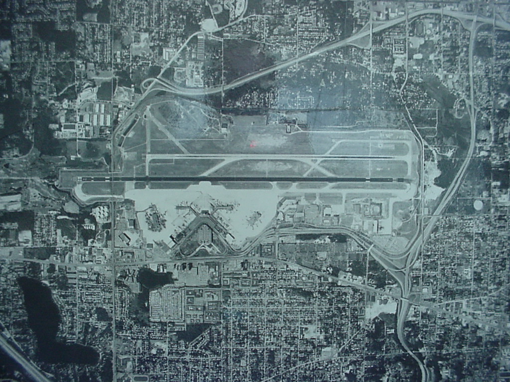 1982-01-01
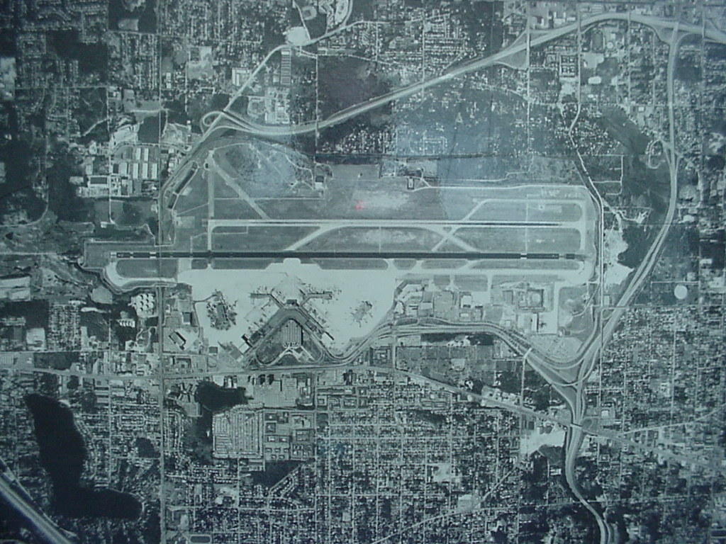
Sea-Tac Airport Aerial View, 1982
Black-and-white aerial photograph showing a large commercial airport with parallel runways, terminal buildings with gate fingers, surrounding roadway infrastructure, and dense urban development on multiple sides. No visible text, date, or identifying labels are present in the image. -
 1982-01-01
Sea-Tac Airport Aerial View, 1982
Black-and-white aerial photograph showing a large commercial airport with multiple parallel runways, terminal buildings with gate concourses, and surrounding urban development including residential neighborhoods, roads, and highway interchanges. No visible text, date, or identifying labels are present in the image. -
 1979-11-01
Airport Noise Control Procedure Manual
This 1979 Airport Noise Control Procedure Manual, approved by Oregon's Department of Environmental Quality, outlines the procedural steps required for compliance with noise control regulations for airports (OAR 340-35-045). It describes how the Department calculates Noise Impact Boundaries for non-air-carrier airports, including the flight operational data and mapping information needed to make accurate assessments. The manual was issued under the authority of ORS Chapter 467 and was designed to minimize the administrative burden on smaller airport facilities.