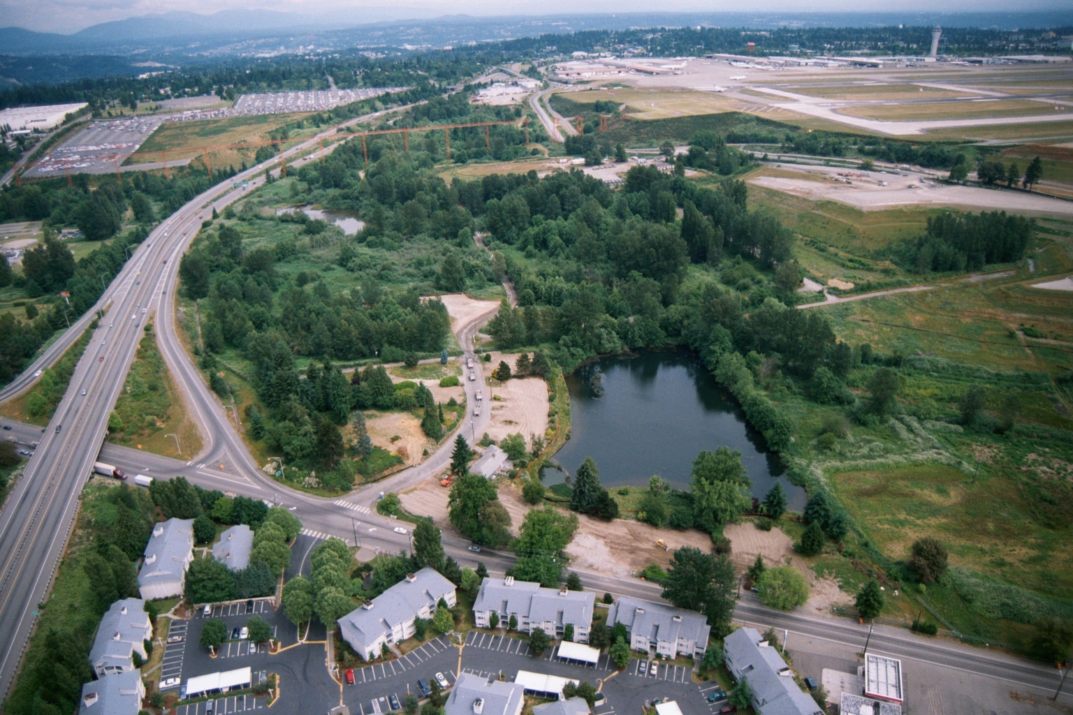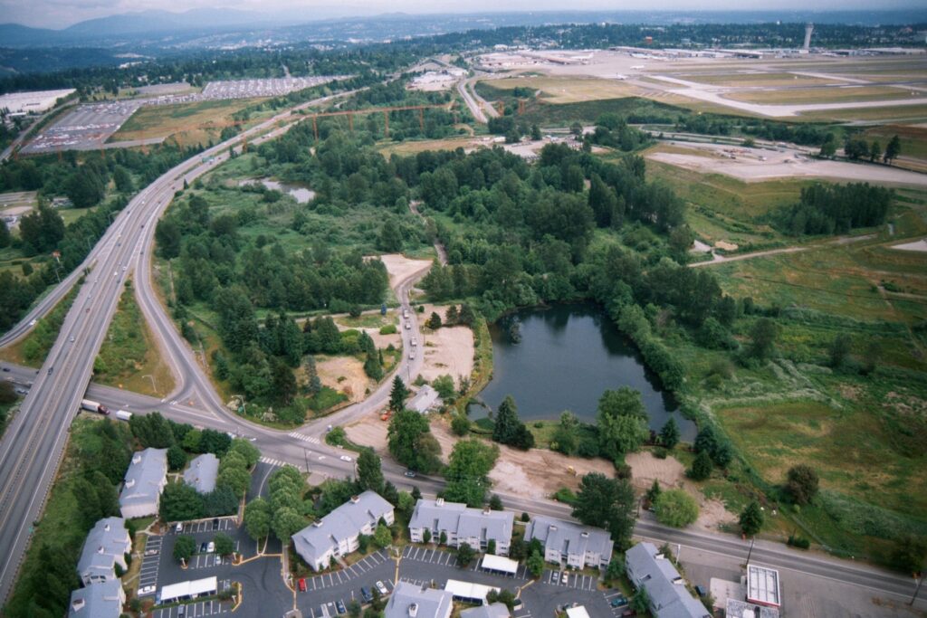
Aerial photograph looking north toward Seattle-Tacoma International Airport (Sea-Tac), showing the airport's runways and tarmac in the upper right, a curved highway interchange (likely SR-99 or I-5 corridor area), a retention pond surrounded by green space, and apartment complexes in the foreground. The image appears to document land use and development patterns in the airport noise-impact zone, likely in the SeaTac/Tukwila area of Washington State.Open full document
Notes
Aerial photograph looking north toward Seattle-Tacoma International Airport (Sea-Tac), showing the airport’s runways and tarmac in the upper right, a curved highway interchange (likely SR-99 or I-5 corridor area), a retention pond surrounded by green space, and apartment complexes in the foreground. The image appears to document land use and development patterns in the airport noise-impact zone, likely in the SeaTac/Tukwila area of Washington State.