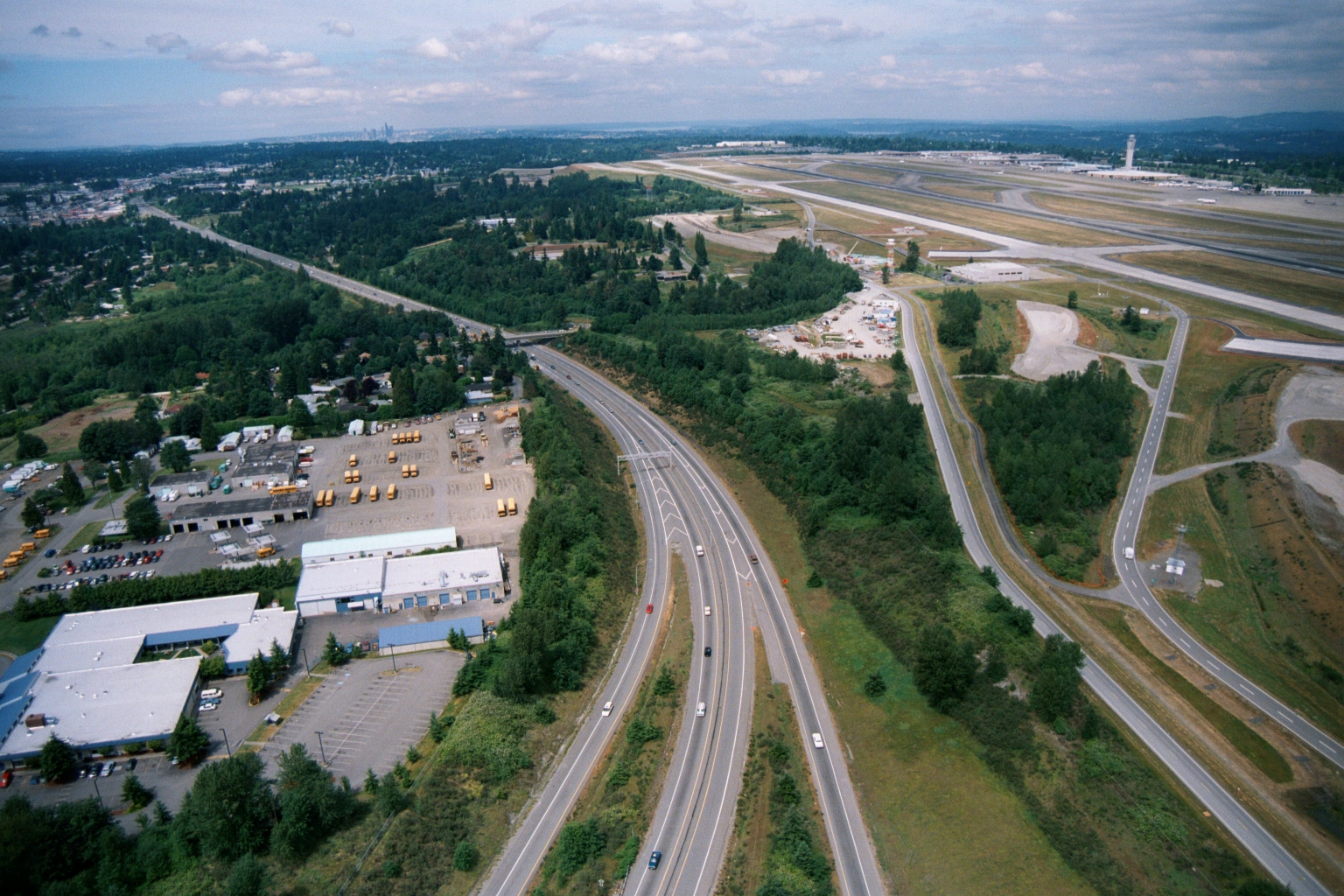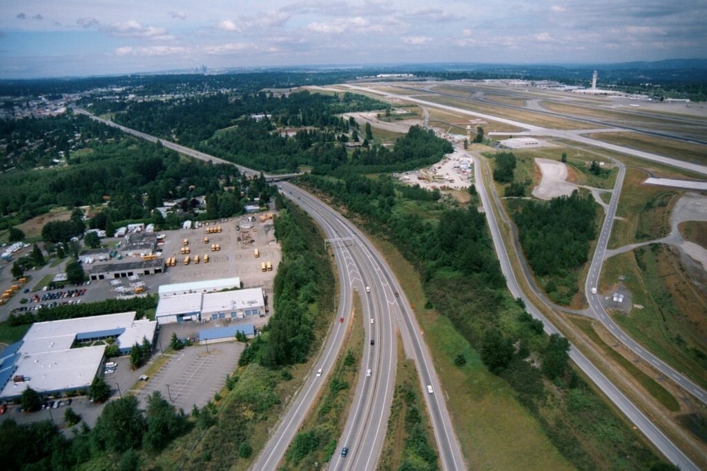
Aerial photograph showing a multi-lane highway running alongside the western perimeter of what appears to be Seattle-Tacoma International Airport, with visible runways and control tower in the upper right. A school bus depot and light industrial facilities are visible on the left, with a distant city skyline on the horizon.Open full document
Notes
Aerial photograph showing a multi-lane highway running alongside the western perimeter of what appears to be Seattle-Tacoma International Airport, with visible runways and control tower in the upper right. A school bus depot and light industrial facilities are visible on the left, with a distant city skyline on the horizon.