TagACC(1548)
-
 1998-04-09
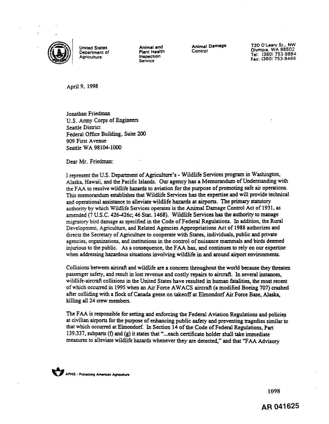
EXH AR041625: Letter from USDA Wildlife Services to U.S. Army Corps of Engineers Regarding Wetland Mitigation at Sea-Tac Airport
April 9, 1998 letter from Gary Oldenburg, USDA Animal and Plant Health Inspection Service (APHIS) Wildlife Services State Director for WA/AK/HI/Pacific Islands, to Jonathan Friedman, U.S. Army Corps of Engineers Seattle District, regarding wildlife hazards at Sea-Tac Airport. Argues that wetland mitigation measures at SeaTac Airport should be conducted off-site, citing FAA Advisory Circular 150/5200-33 -
 1998-04-09
EXH AR035307: Comment Binder A — Third Runway Corps/Ecology Public Comments, December 1997–April 1998
Comment Binder A compiled by Port of Seattle for Sea-Tac Airport (Seattle-Tacoma International Airport) third runway project, containing letters submitted to the U.S. Army Corps of Engineers during the initial comment period (December 19, 1997 to January 20, 1998) and comments from the joint Corps/Ecology public hearing held April 9, 1998. Includes a January 15, -
 1998-04-06
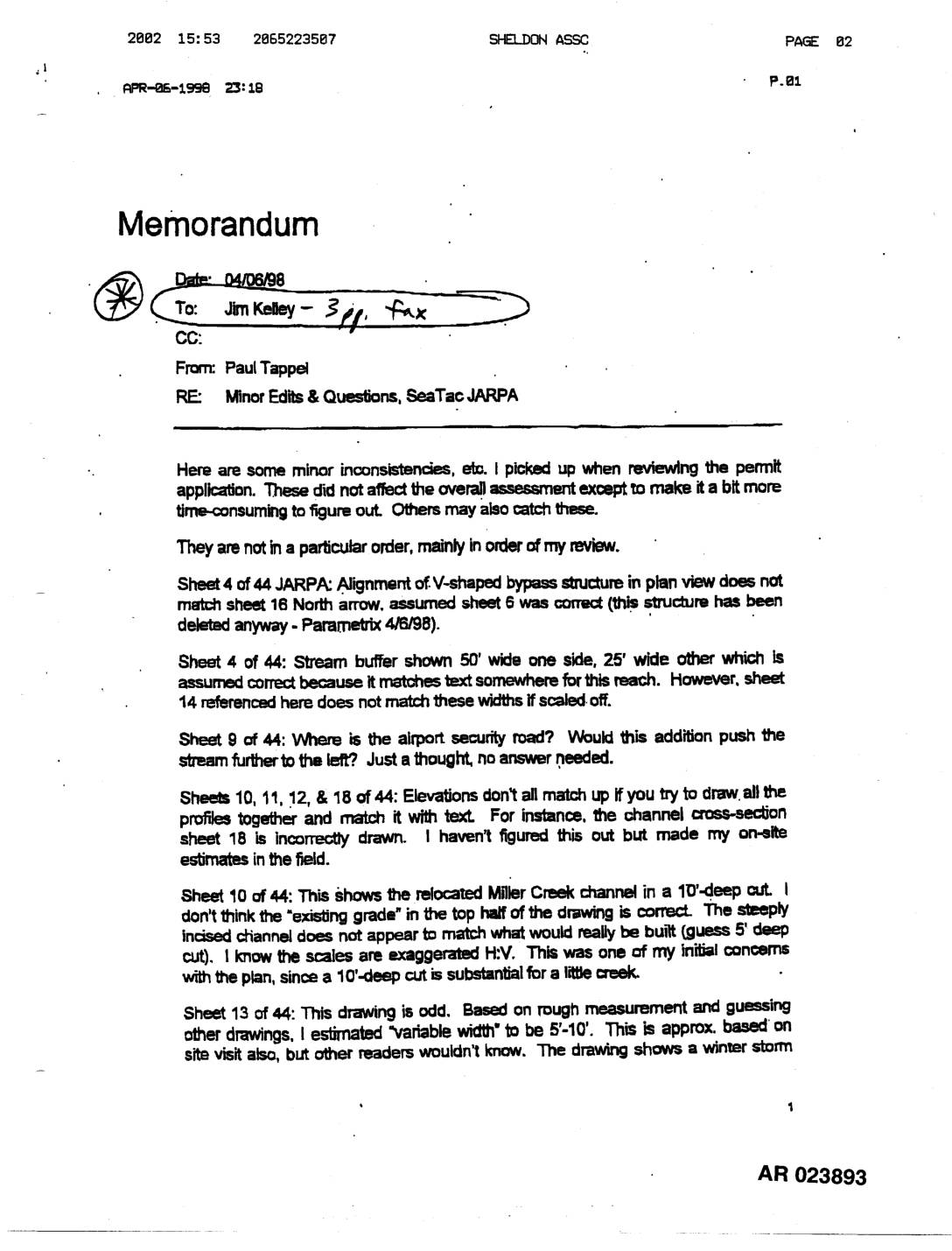
EXH AR023893: Memo Tappel to Kelley — Minor Edits & Questions, STIA JARPA
A April 6, 1998 internal memorandum from Paul Tappel to Jim Kelley identifies minor technical inconsistencies and questions in the Sea-Tac Airport JARPA permit application, focusing on discrepancies in engineering drawings, stream buffer widths, channel elevation profiles, and hydraulic calculations for a proposed Miller Creek relocation. Tappel raises concerns that the plan overstates the environmental benefits of the reconstructed creek channel and contains contradictory goals regarding wildlife habitat and airport bird-strike safety. He notes these issues are not critical to the overall assessment but could cause confusion as the design moves forward. -
 1998-04-01
EXH AR030867: How Ecology Regulates Wetlands
Washington State Department of Ecology publication (No. 97-112, April 1998), authored by Andy McMillan of the Shorelands & Environmental Assistance Program. Introduces regulatory authority over wetlands, wetland definitions and delineation, wetland characterization and function assessment, wetland mitigation, and buffers. Covers Washington State wetland regulation under state law, published by Ecology’s Shorelands & Environmental Assistance Program, -
 1998-04-01
EXH AR027166: DMR April 1998 — Sea-Tac Airport Discharge Monitoring Report
Discharge Monitoring Report (DMR) for April 1998, permit number WA-002465-1, discharge number 001 (IWS), submitted by Port Of Seattle for Sea-Tac Airport (facility #681), P.O. Box 68727, Seattle WA 98168. Monitoring period covers April 1–30, 1998. Parameters monitored include flow (GPM), pH, oil and grease (mg/L), TSS (mg/L), BOD5 (mg/L), total glycols (mg/L), and TPH -
 1998-03-06
EXH AR024778: Fax Transmittal — Third Runway Water Quality Compliance Services Scope & Cost Estimate
A March 1998 fax exchange between the Port of Seattle and Herrera Environmental Consultants concerns the scope of work and cost estimates for Third Runway Water Quality Compliance Services. Carlos Herrera of Herrera Environmental sent documents to Port of Seattle contacts Barbara Hinkle and Kym Mattress, arguing that routine project water quality monitoring should be Herrera's responsibility, covering both compliance and BMP performance monitoring. Herrera noted he believed this approach would be most credible to the Washington Department of Ecology and neighboring airport communities, and requested review and discussion of the cost estimates to potentially reduce the budget. -
 1998-02-20
EXH AR026807: NPDES Permit WA-002465-1 Response to Comments — Port Of Seattle STIA
Responsiveness summary for NPDES Permit No. WA-002465-1 issued by Washington State Department of Ecology to Port Of Seattle for Seattle-Tacoma International Airport (Sea-Tac Airport), prepared by Lisa Zinner, P.E., February 20, 1998. Covers discharge of treated industrial wastewater and stormwater; public meeting held November 3, 1997 and public hearing November 10, 1997 at Burien Public -
 1998-02-20
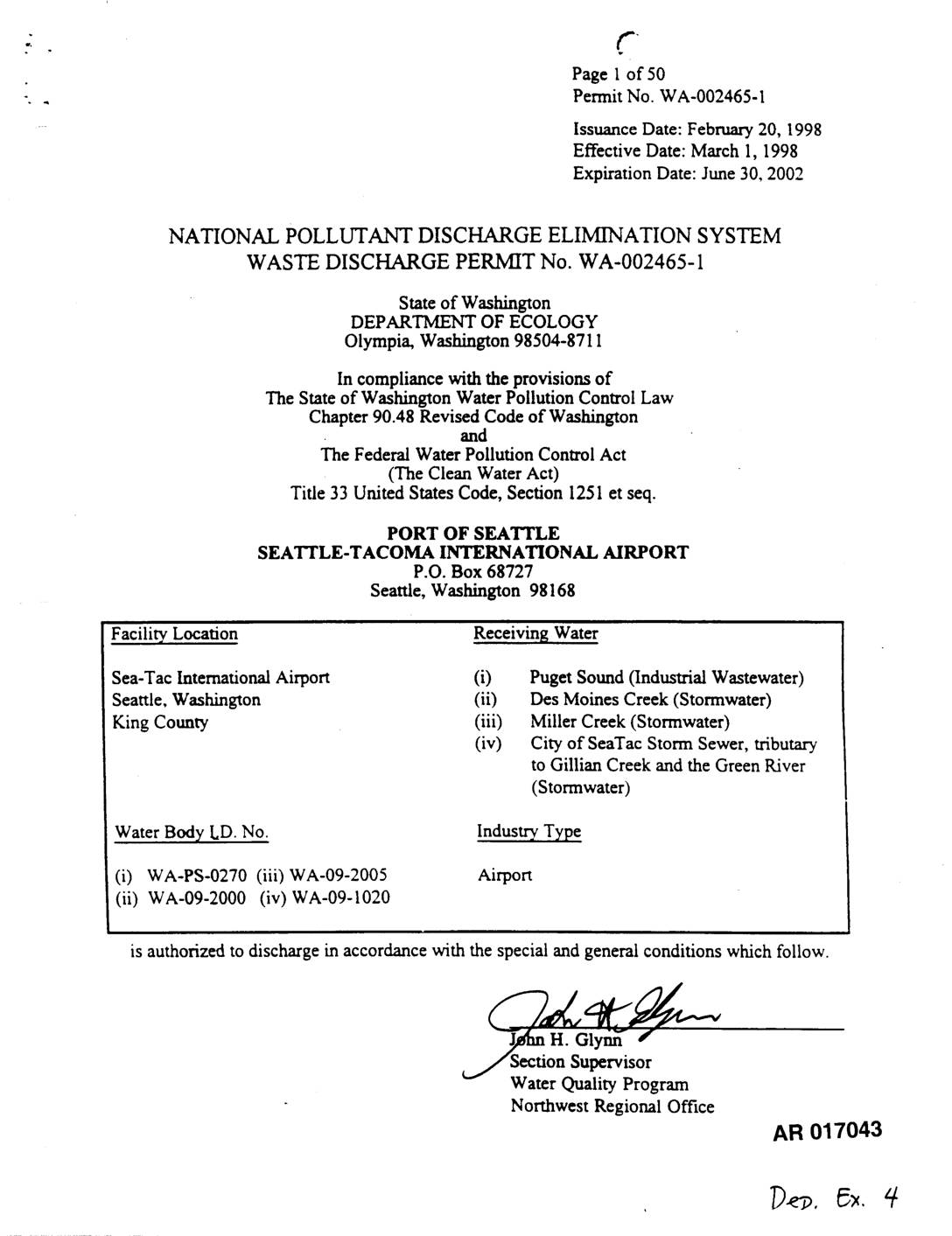
EXH AR17043: NPDES Waste Discharge Permit No. WA-002465-1 — Port Of Seattle, Sea-Tac Airport
NPDES Waste Discharge Permit No. WA-002465-1 issued by Washington State Department of Ecology (Ecology) to Port Of Seattle for Seattle-Tacoma International Airport, effective March 1, 1998, expiring June 30, 2002. Authorizes discharge of industrial wastewater to Puget Sound (Outfall 001) and stormwater to Des Moines Creek (Outfalls 002-005, 009, 010, 014, 015), Miller Creek (Outfalls -
 1998-02-20
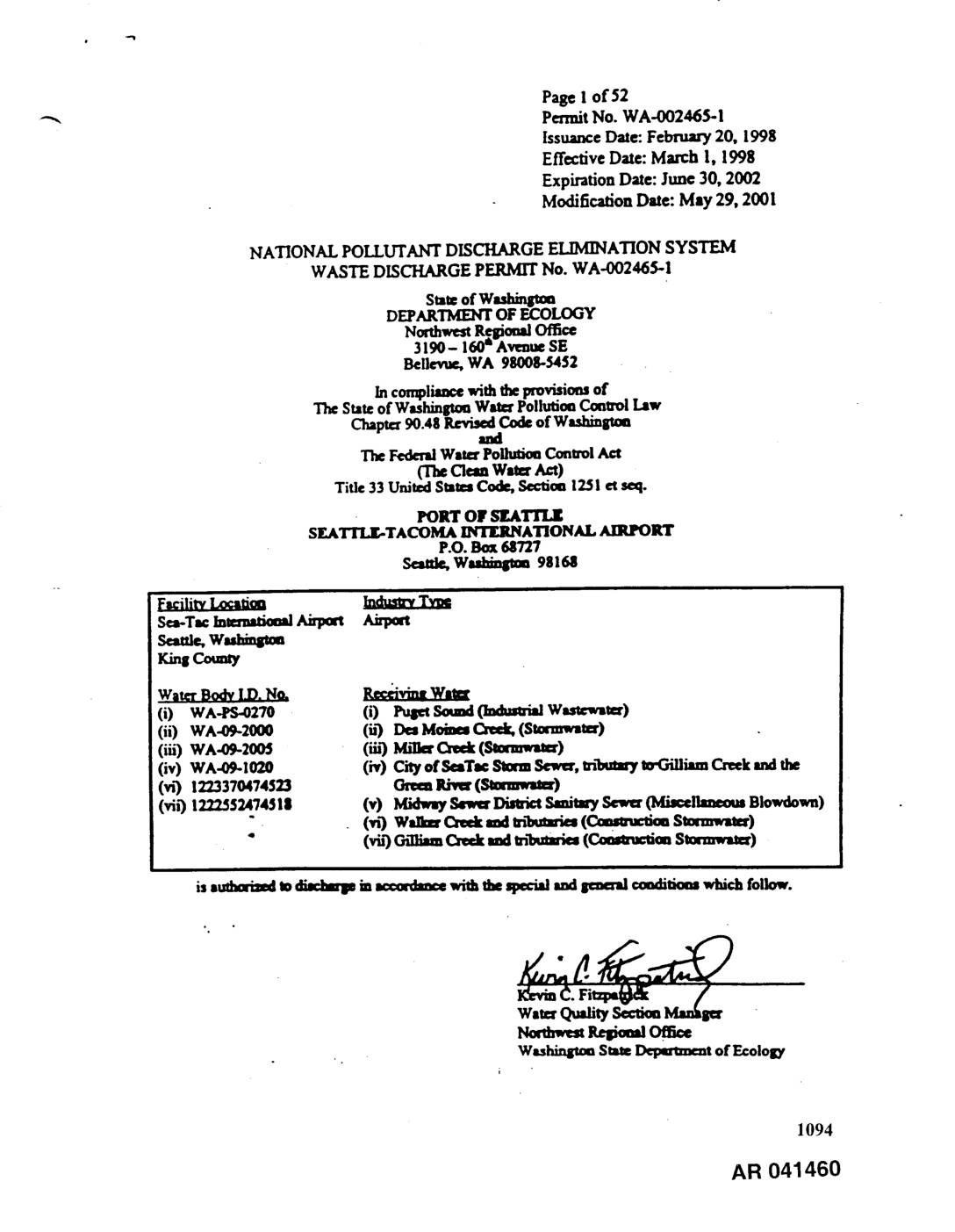
EXH AR041460: NPDES Waste Discharge Permit No. WA-002465-1 — Port Of Seattle, Sea-Tac Airport
NPDES Waste Discharge Permit No. WA-002465-1 issued by Washington State Department of Ecology (Northwest Regional Office) to Port Of Seattle for Seattle-Tacoma International Airport, King County, WA. Permit covers industrial wastewater discharge to Puget Sound (Outfall 001), stormwater discharges to Des Moines Creek (Outfalls 002-005, 009, 010, 014, 015), Miller Creek (Outfalls 006-008, 011), City -
 1998-02-03
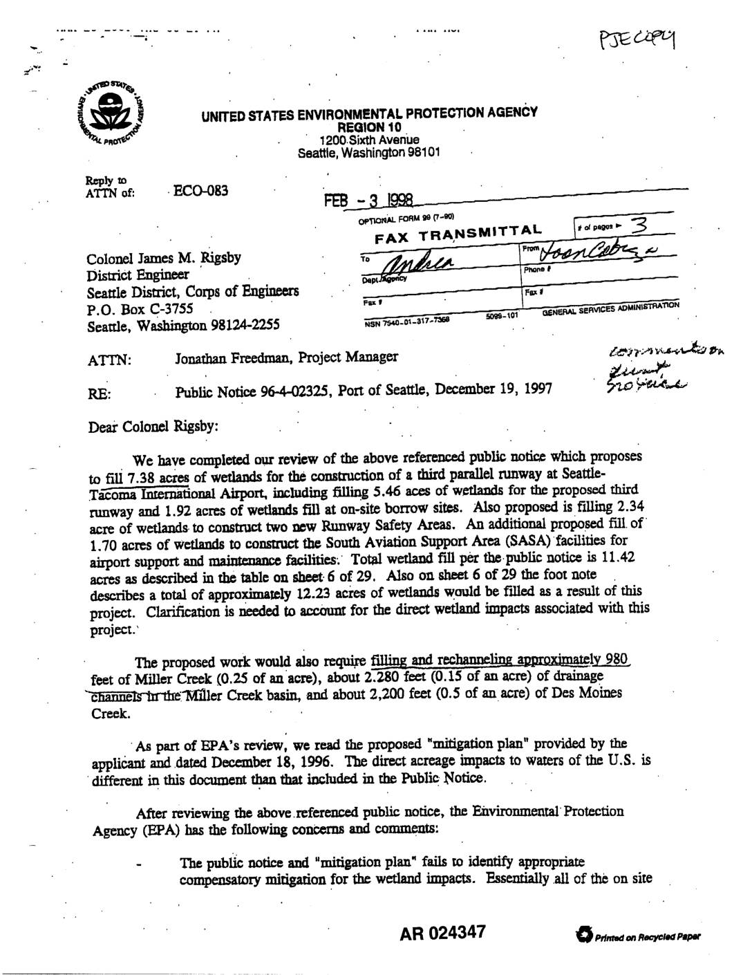
EXH AR024347: EPA Region 10 Letter to Army Corps re Public Notice 96-4-02325 Third Runway Wetlands Fill
In February 1998, the U.S. EPA Region 10 wrote to the Army Corps of Engineers recommending denial of a permit for the Port of Seattle's proposed third parallel runway at Seattle-Tacoma International Airport, citing concerns over the filling of more than 11 acres of wetlands and portions of Miller Creek and Des Moines Creek. The EPA objected that the applicant's mitigation plan relied almost entirely on off-site wetland replacement in the Green River Valley rather than within the affected watersheds, and questioned whether alternatives to wetland fills for the South Aviation Support Area and on-site borrow areas had been adequately explored. The agency indicated it was willing to work with the Corps and the Port to identify solutions that would satisfy both aviation safety needs and Clean Water Act Section 404(b)(1) requirements.