TagSR509(120)
-
 2019-05-30
SR 509 NEPA Re-evaluation: Traffic, Emissions, and Noise Impacts on Burien and Environmental Justice Communities
A community analysis of the SR 509 highway extension near Sea-Tac Airport warns that the project will significantly increase truck and vehicle traffic through Burien, worsening air quality and noise for nearby residents. Critics argue that neither WSDOT nor the FAA has conducted adequate site-specific or cumulative impact studies, despite actual emissions being nearly three times higher than 1996 projections and the area already being identified as an environmental justice community. The document calls for a comprehensive cumulative analysis of combined highway traffic and airport operations to properly assess public health risks. -
2019-05-30
SR 509 NEPA Re-evaluation: Traffic, Emissions, and Noise Impacts on Burien and Environmental Justice Communities
Analysis citing the WSDOT SR 509 Phase 1 Environmental Re-evaluation (May 2019) comparing 2003 FEIS forecasts of 7,900 vph against re-evaluation forecasts of 4,700 vph on the SR 509 extension between I-5 and 24th Avenue S/28th Avenue S interchange, with tolling assumed. Documents that the 2045 Build condition adds 500–1,400 vph on existing SR 509 -
 2018-09-26
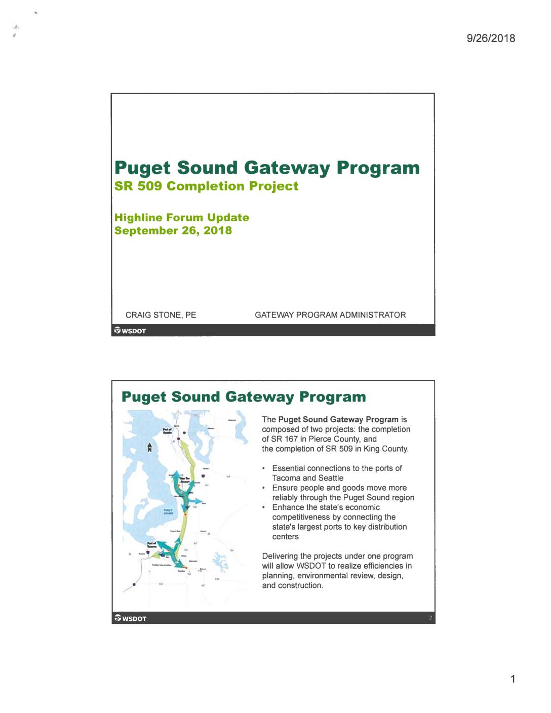
Puget Sound Gateway Program SR 509 Completion Project: Highline Forum update
The Puget Sound Gateway Program, presented at a Highline Forum in September 2018, outlines two highway completion projects—SR 509 in King County and SR 167 in Pierce County—designed to improve freight movement between the ports of Seattle and Tacoma and key distribution centers. Among its key benefits, the program includes a new south access point to Sea-Tac Airport and aims to reduce congestion on local roads surrounding the airport. Funding for the program combines state, local, federal, and toll revenue sources, with electronic tolling on all new lanes expected to begin as early as 2025. -
 2018-09-01
Construction and Implementation Plan
Construction and Implementation Plan for the Puget Sound Gateway Program, prepared by the Washington State Department of Transportation (WSDOT) in September 2018. Covers SR 167 Completion Project and SR 509 Completion Project, including project phasing, construction stages, delivery method, funding sources (toll funding, local funding, grants), expenditure and sequencing plan, and community and stakeholder engagement. -
 2018-09-01
Construction and Implementation Plan
Construction and Implementation Plan for the Puget Sound Gateway Program, prepared by the Washington State Department of Transportation (WSDOT) in September 2018. Covers SR 167 Completion Project and SR 509 Completion Project, including project phasing, construction stages, delivery method, funding sources (toll funding, local funding, grants), expenditure and sequencing plan, and community and stakeholder engagement. -
WSDOT SR509 Completion Project
Puget Sound SR509 Gateway connecting the airport, 509, I-5, 167 -
 2018-07-01
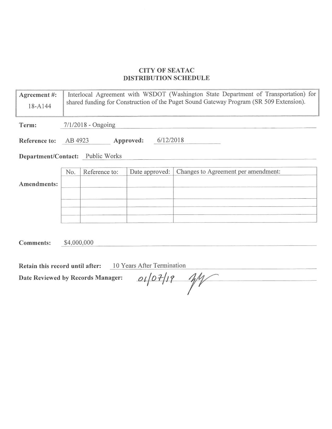
Interlocal agreement for the construction of the Puget Sound Gateway Program
The City of SeaTac entered into an interlocal agreement (Agreement No. 18-A144) with the Washington State Department of Transportation (WSDOT) to provide up to $4,000,000 in local matching funds for the construction of the Puget Sound Gateway Program, specifically the State Route 509 Extension Project. The funding is split into two stages: up to $2,000,000 in real estate and/or cash for the SeaTac Access Local Nexus Project, and up to $2,000,000 in cash toward the South 188th Street Interchange once construction sales tax is received. WSDOT is responsible for designing, constructing, and managing the project, which includes improvements such as interchange ramps and access roads largely within the City of SeaTac. -
 2018-01-01
Puget Sound Gateway Program – Phase 1 of the SR 509 Completion Project: Environmental re-evaluation
This January 2018 environmental re-evaluation examines the potential impacts of Phase 1 of the SR 509 Completion Project, part of the Puget Sound Gateway Program, prepared for the Federal Highway Administration and Washington State Department of Transportation. The document assesses changed conditions and effects across multiple environmental categories—including noise, air quality, water quality, wetlands, and transportation—comparing the current project phase against the 2003 Final Environmental Impact Statement's preferred alternative. Notably, the noise section evaluates both operational and construction-phase sound impacts on surrounding communities, making it a relevant reference for research into transportation-related noise policy near Sea-Tac Airport. -
 2018-01-01
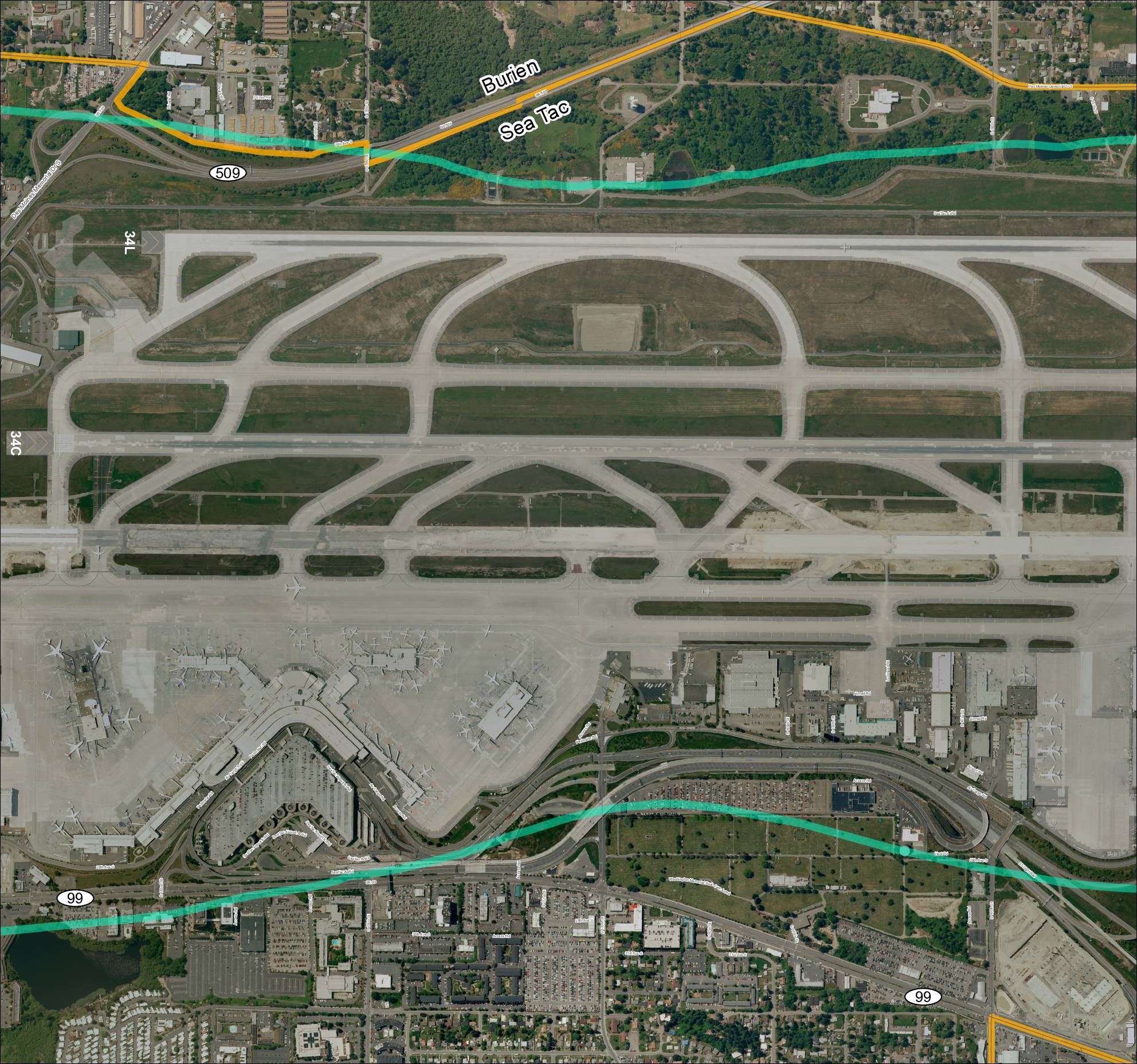
Grid 3: Sea-Tac Airport Aerial Map
This aerial map depicts Seattle-Tacoma International Airport (Sea-Tac) and its surrounding communities of Burien and SeaTac, showing the airport's runway layout including runways 34L and 34C, along with the local road network and key routes such as SR 99 and SR 509. The map highlights the ST Light Rail corridor and major access roads serving the airport, providing geographic context for understanding flight paths and noise exposure areas in the region. It serves as a reference for analyzing the relationship between airport operations and the residential and commercial areas situated beneath approach and departure corridors. -
 2017-11-01
Puget Sound Gateway Program – Phase 1 of the SR 509 Completion Project: Noise technical report
This 2017 Noise Technical Report, prepared by The Greenbusch Group for the Washington State Department of Transportation, evaluates the noise impacts of Phase 1 of the SR 509 Completion Project near Seattle-Tacoma International Airport. It compares the proposed highway improvements against a 2003 environmental impact study, assessing changes in noise levels, affected residents, and noise abatement measures such as sound walls. The report concludes with recommendations for minimizing construction and long-term traffic noise impacts on surrounding communities.