TagSR509(120)
-
 2022-10-25
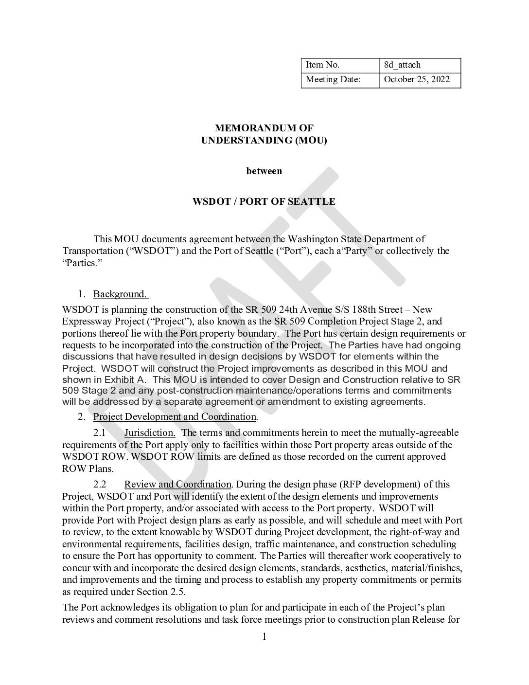
Memorandum of Understanding (MOU) between WSDOT / Port Of Seattle
Draft MOU between Washington State Department of Transportation (WSDOT) and Port of Seattle (Port) covering the SR 509 24th Avenue S/S 188th Street New Expressway Project (SR 509 Completion Project Stage 2), dated October 25, 2022 (Item 8d_attach). Documents design and construction commitments for project elements within Port property boundaries, including illumination and signalization (Starling -
2022-10-25
Memorandum of Understanding (MOU) between WSDOT / Port Of Seattle
Draft MOU between Washington State Department of Transportation (WSDOT) and Port of Seattle (Port) covering the SR 509 24th Avenue S/S 188th Street New Expressway Project (SR 509 Completion Project Stage 2), dated October 25, 2022 (Item 8d_attach). Documents design and construction commitments for project elements within Port property boundaries, including illumination and signalization (Starling -
 2022-10-25
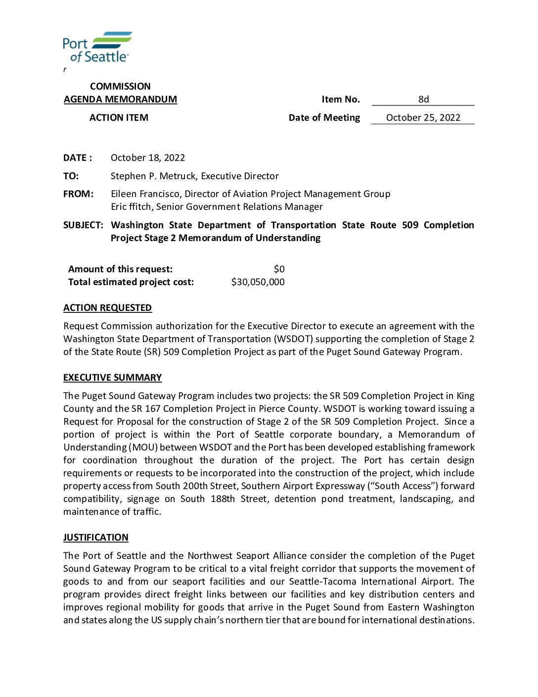
Washington State Department of Transportation State Route 509 Completion Project Stage 2 Memorandum of Understanding
Commission Agenda Memorandum (Action Item 8d) from Eileen Francisco and Eric ffitch to Executive Director Stephen Metruck, dated October 18, 2022, requesting Port of Seattle Commission authorization for the Executive Director to execute a Memorandum of Understanding (MOU) with WSDOT supporting Stage 2 of the SR 509 Completion Project as part of the Puget Sound -
2022-10-25
Washington State Department of Transportation State Route 509 Completion Project Stage 2 Memorandum of Understanding
Commission Agenda Memorandum (Action Item 8d) from Eileen Francisco and Eric ffitch to Executive Director Stephen Metruck, dated October 18, 2022, requesting Port of Seattle Commission authorization for the Executive Director to execute a Memorandum of Understanding (MOU) with WSDOT supporting Stage 2 of the SR 509 Completion Project as part of the Puget Sound -
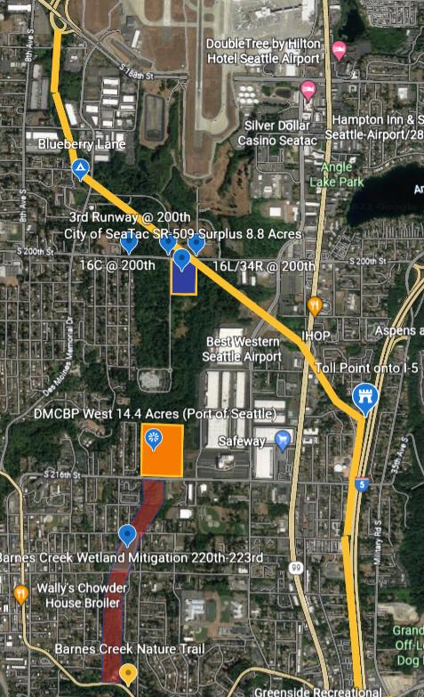
sr509 earth 4 cropped
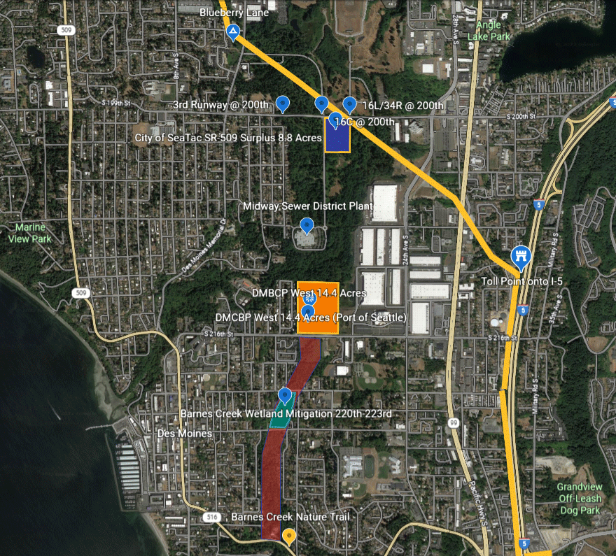
Aerial map of the SeaTac/Des Moines, Washington area showing labeled land parcels relevant to Sea-Tac Airport planning, including the City of SeaTac SR-509 Surplus 8.8 Acres, DMCBP West 14.4 Acres (Port of Seattle), Barnes Creek Wetland Mitigation 220th–223rd, and runway reference points (3rd Runway @ 200th, 16L/34R @ 200th, 16C @ 200th). The map also identifies the Midway Sewer District Plant, Barnes Creek Nature Trail, and major roadways including SR-509 and I-5. -
sr509 earth zoom 1 (2)
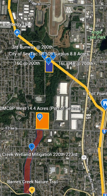
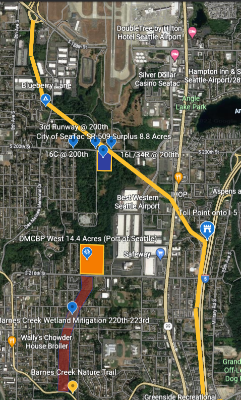
Aerial map of the Sea-Tac Airport vicinity showing labeled land parcels including '3rd Runway @ 200th – City of SeaTac SR-509 Surplus 8.8 Acres,' 'DMCBP West 14.4 Acres (Port of Seattle),' and 'Barnes Creek Wetland Mitigation 220th–223rd,' along with runway references 16C and 16L/34R at 200th Street. The map appears to be part of a Port of Seattle or City of SeaTac land use or noise-mitigation planning document. -
sr509 earth 3 (3)
Aerial map of the Sea-Tac Airport vicinity showing labeled parcels including the 'City of SeaTac SR-509 Surplus 8.8 Acres,' 'DMCBP West 14.4 Acres (Port of Seattle),' runway designations 16C and 16L/34R at 200th Street, and Barnes Creek Wetland Mitigation area between S 220th and S 223rd. Nearby landmarks including DoubleTree by Hilton Hotel Seattle Airport, Best Western Seattle Airport, IHOP, Safeway, and I-5 toll point are also visible. -
SR-509 Stage 2
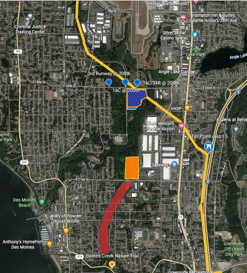
Aerial map of the Sea-Tac Airport vicinity showing labeled parcels and points of interest relevant to noise and land use policy, including the 3rd Runway at 200th Street, City of SeaTac SR-509 Surplus 8.8 Acres, DMCBP West 14.4 Acres (Port of Seattle), Barnes Creek Wetland Mitigation area at 220th-223rd, and runway designations 16C/34C and 16L/34R at 200th. Nearby landmarks including DoubleTree by Hilton Hotel Seattle Airport, Best Western Seattle Airport, Safeway, IHOP, and Angle Lake Park are also visible. -
sr509 earth (2)
Satellite map of the SeaTac/Des Moines, Washington area showing Seattle-Tacoma International Airport and surrounding neighborhoods, with color-coded overlays marking specific runway corridor points labeled '3rd Runway @ 200th,' '16C @ 200th,' and '16L/34R @ 200th,' along with orange and red highlighted zones near S 216th Street suggesting noise impact or land-use study areas. Visible landmarks include Angle Lake, Best Western Seattle Airport, IHOP, Safeway, Barnes Creek Nature Trail, and Interstate 5. -
SR-509 surplus-cropped
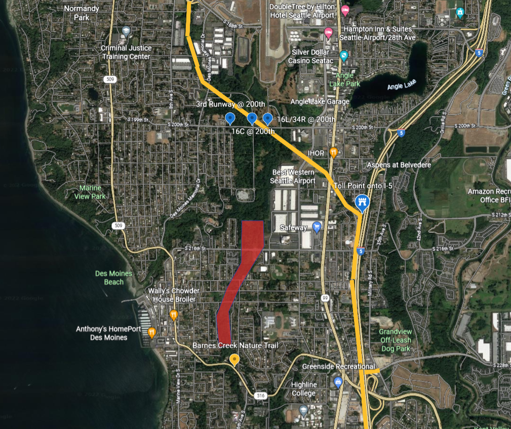
Satellite map of the Des Moines/SeaTac area south of Seattle showing marked approach corridors for Sea-Tac Airport runways 16C, 16L/34R, and the 3rd Runway at S 200th Street. A red polygon highlights a noise-impact or study zone extending southward through residential Des Moines roughly between S 216th Street and S 228th Street, near Barnes Creek Nature Trail and Des Moines Beach.