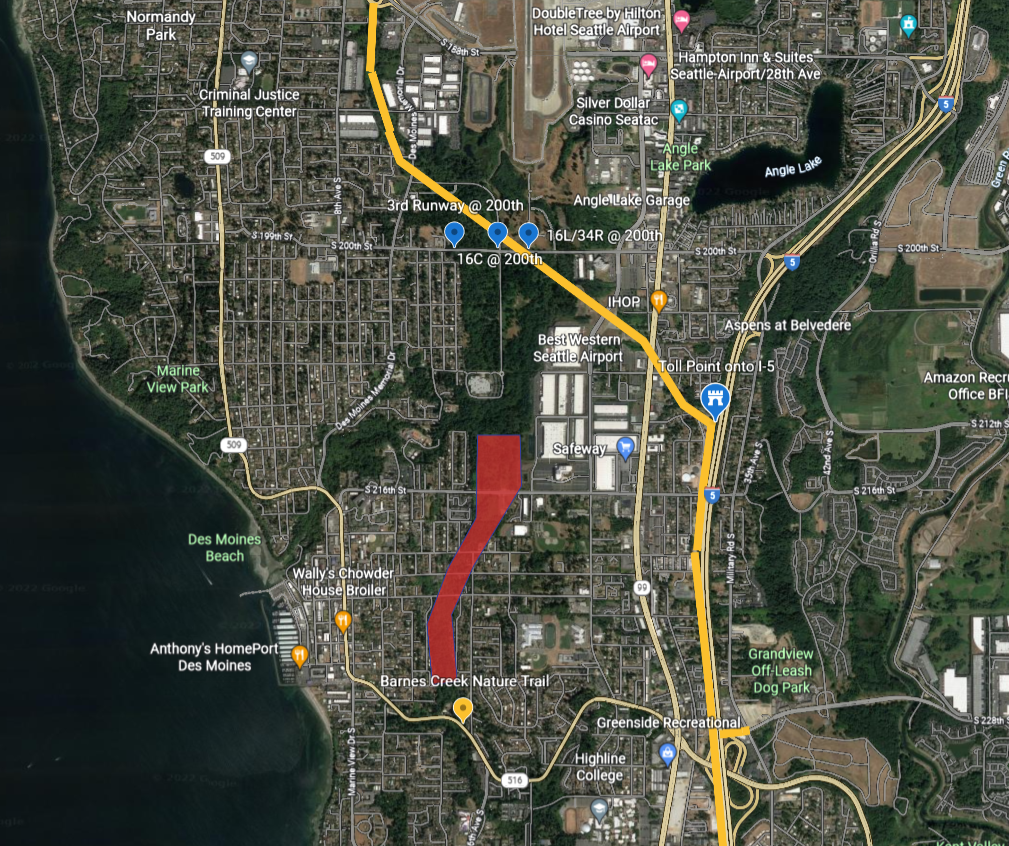
Satellite map of the Des Moines/SeaTac area south of Seattle showing marked approach corridors for Sea-Tac Airport runways 16C, 16L/34R, and the 3rd Runway at S 200th Street. A red polygon highlights a noise-impact or study zone extending southward through residential Des Moines roughly between S 216th Street and S 228th Street, near Barnes Creek Nature Trail and Des Moines Beach.Open full document
Notes
Satellite map of the Des Moines/SeaTac area south of Seattle showing marked approach corridors for Sea-Tac Airport runways 16C, 16L/34R, and the 3rd Runway at S 200th Street. A red polygon highlights a noise-impact or study zone extending southward through residential Des Moines roughly between S 216th Street and S 228th Street, near Barnes Creek Nature Trail and Des Moines Beach.