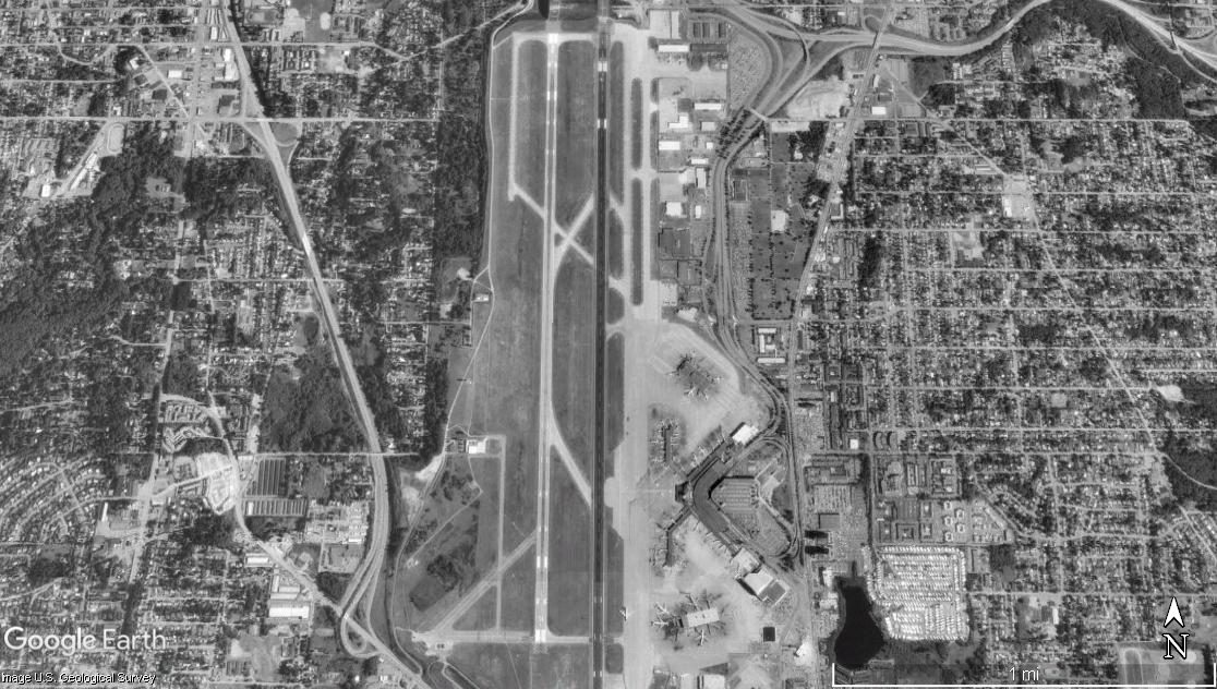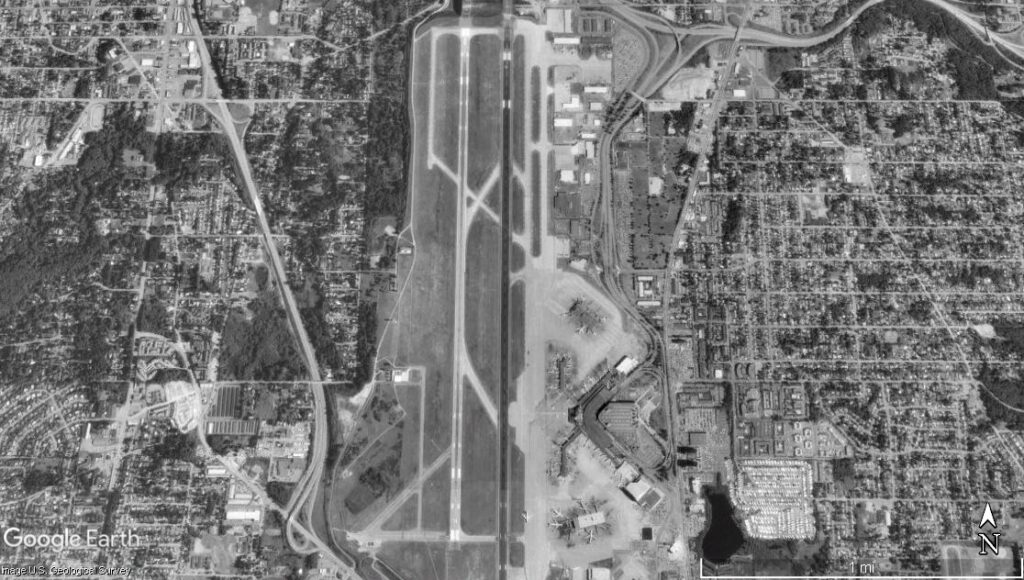
Google Earth satellite image (U.S. Geological Survey) showing a single primary runway airport surrounded by dense urban development. Visible features include parallel taxiways, terminal apron areas with parked aircraft, and a highway corridor to the west. This does not appear to be Sea-Tac Airport, which has multiple parallel runways.Open full document
Notes
Google Earth satellite image (U.S. Geological Survey) showing a single primary runway airport surrounded by dense urban development. Visible features include parallel taxiways, terminal apron areas with parked aircraft, and a highway corridor to the west. This does not appear to be Sea-Tac Airport, which has multiple parallel runways.