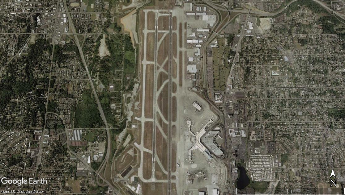
Google Earth satellite image showing an airport with two parallel runways oriented roughly north-south, surrounded by dense residential and commercial development on all sides. The terminal complex and taxiways are visible on the east side of the runways; a scale bar indicates approximately 1 mile across the image.Open full document
Notes
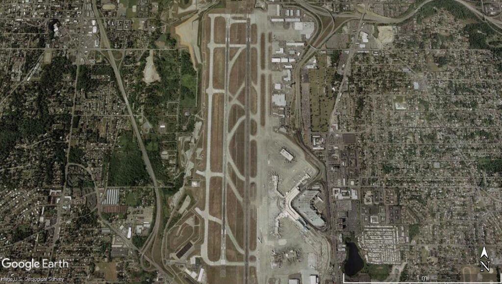
Google Earth satellite image showing an airport with two parallel runways oriented roughly north-south, surrounded by dense residential and commercial development on all sides. The terminal complex and taxiways are visible on the east side of the runways; a scale bar indicates approximately 1 mile across the image.