TagPart 150(269)
-
 2026-06-24
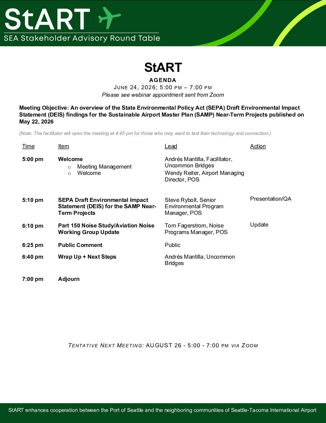
StART meeting agenda June 24, 2026
Overview of (SEPA) Draft Environmental Impact Statement (DEIS) (SAMP) Near-Term Projects, Part 150 update -
 2026-06-24
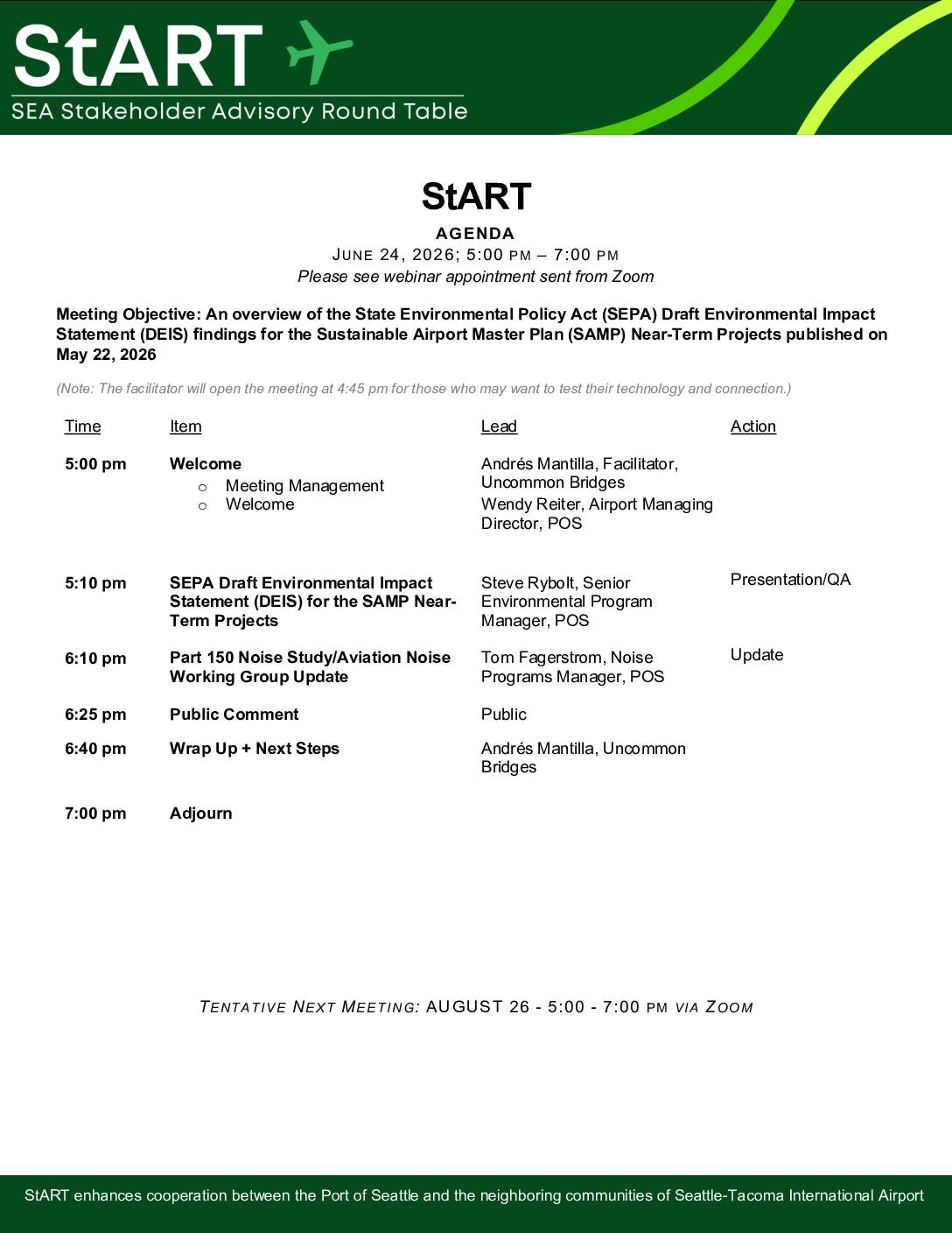
StART agenda: June 24, 2026
The StART (SEA Stakeholder Advisory Round Table) meeting scheduled for June 24, 2026, focuses on presenting findings from the State Environmental Policy Act (SEPA) Draft Environmental Impact Statement for Seattle-Tacoma International Airport's Sustainable Airport Master Plan Near-Term Projects, published May 22, 2026. The agenda includes a presentation by Port of Seattle environmental staff, an update on the Part 150 Noise Study and Aviation Noise Working Group, and a public comment period. The meeting is held via Zoom, with a tentative follow-up session planned for August 26, 2026. -
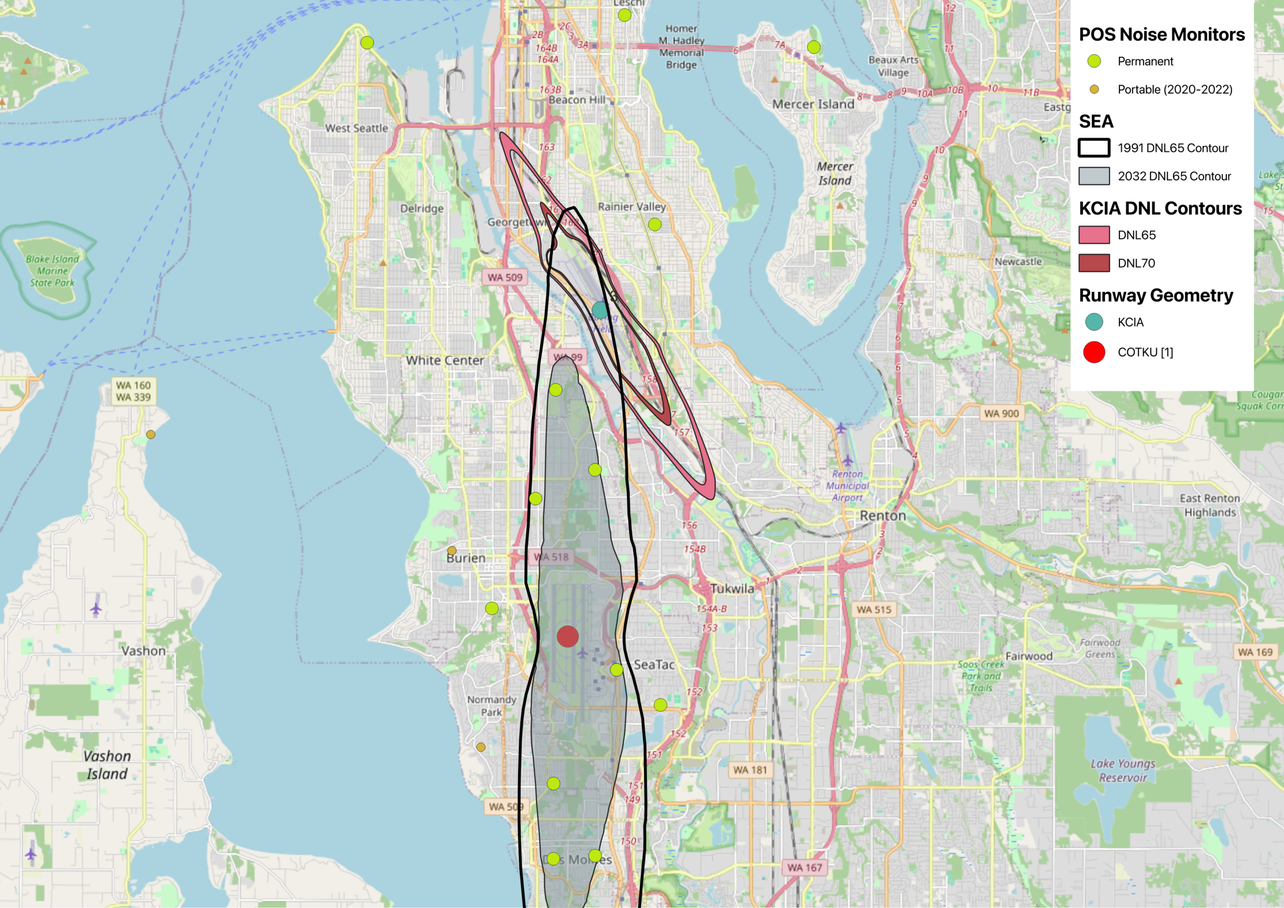
Map of Sea-Tac and KCIA DNL contours with Port of Seattle Noise Monitors
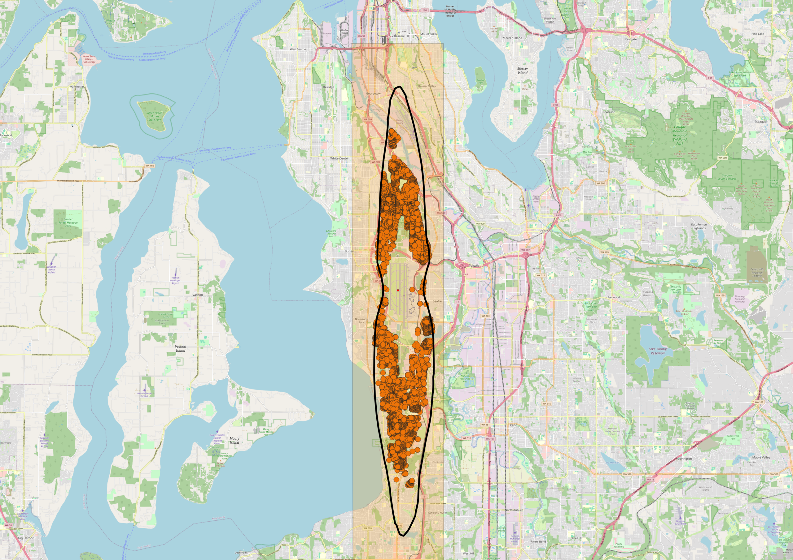
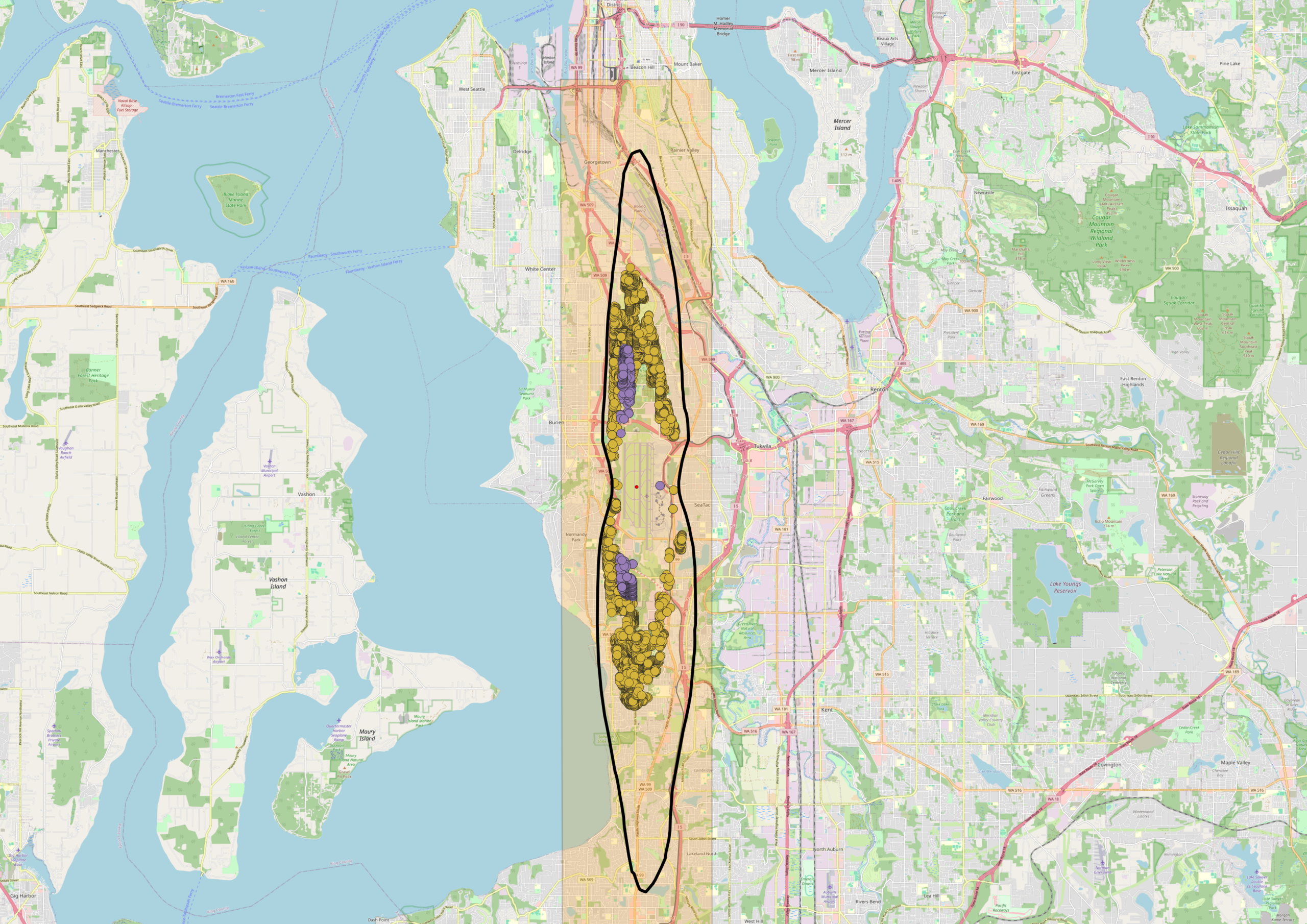
This map displays noise exposure contours for Seattle-Tacoma International Airport (SEA) comparing the 1991 and 2032 DNL65 projections, alongside KCIA DNL65 and DNL70 contours near Georgetown/South Seattle. It also shows POS (Port of Seattle) permanent and portable noise monitor locations (2020–2022) across the South Seattle, Burien, SeaTac, Tukwila, and Renton areas, with runway geometry markers for KCIA and COTKU [1]. -
 2026-06-20
Appendix H: Official Noise Exposure Maps — 2024 Part 150 Study
Appendix H of the Seattle-Tacoma International Airport (Sea-Tac Airport) Part 150 Study, containing official Noise Exposure Maps (NEMs) for 2022 Existing Conditions and 2032 Future Conditions, signed by Sarah Cox, Director of Aviation Environment & Sustainability, Port of Seattle, dated 06/20/26. Includes Aviation Environmental Design Tool (AEDT) flight tracks — North Flow and South Flow -
 2026-06-08
Noise Exposure Map Report: 14 CFR Part 150 Study
The Port of Seattle submitted this Noise Exposure Map (NEM) Report to the Federal Aviation Administration under 14 CFR Part 150, documenting aircraft noise levels around Seattle-Tacoma International Airport for 2022 (existing conditions) and 2032 (projected future conditions). The report was prepared by Environmental Science Associates and certified by the Port's Director of Aviation Environment and Sustainability on June 26, 2026, confirming that current airport operations remain consistent with the 2022 data. It includes documentation of public and agency consultation, noise contour maps showing areas exposed to DNL 65+ decibel levels, and supporting forecasts of aircraft activity through 2032. -
2026-06-08
Noise Exposure Map Report: 14 CFR Part 150 Study
The Port of Seattle submitted this Noise Exposure Map (NEM) Report to the Federal Aviation Administration under 14 CFR Part 150, documenting aircraft noise levels around Seattle-Tacoma International Airport for 2022 (existing conditions) and 2032 (projected future conditions). The report was prepared by Environmental Science Associates and certified by the Port's Director of Aviation Environment and Sustainability on June 26, 2026, confirming that current airport operations remain consistent with the 2022 data. It includes documentation of public and agency consultation, noise contour maps showing areas exposed to DNL 65+ decibel levels, and supporting forecasts of aircraft activity through 2032. -
 2026-06-08
Part 150 Study Technical Review Committee Meeting #6
Presentation slides for the sixth meeting of the Part 150 Study Technical Review Committee (TRC) for Seattle-Tacoma International Airport, held June 8, 2026. The meeting covered potential Noise Compatibility Program (NCP) measures including noise abatement, land use, and program management. The agenda also included a review of the previous meeting summary, project schedule, and future -
 2026-05-29
ANES 2026 MAA BWI Vianair 0004
Presentation slides from the Maryland Aviation Administration (MAA) and BWI Marshall Airport Roundtable Technical Subcommittee covering aviation noise outcomes and next steps. Topics include expanded DNL contours below 65DNL, separation of East and West Flow contours, NextGen implementation impacts, FAA Instrument Flight Procedure (IFP) Gateway filing, and an upcoming 14 CFR Part 150 Study beginning -
Dnl 1991 65
A geographic map centered on the Seattle/Tukwila corridor showing a dense cluster of orange data points concentrated along a north-south axis, enclosed within a black ellipse outline. The map shows recognizable Seattle-area geography including Puget Sound to the west, Lake Washington to the east, and Vashon Island, consistent with a noise impact or flight track density visualization related to Sea-Tac Airport operations. -
Dnl 2032 6570
A map centered on the Seattle-Tacoma area showing a vertical orange corridor overlaid on the region stretching from downtown Seattle southward through Burien and SeaTac. Within the corridor, a black oval outline encloses clusters of yellow and purple data points, likely representing noise-impacted properties or complaint locations near Sea-Tac Airport's flight path.