I understand that you will never share my information with anyone, you will only use it to keep me updated on relevant events and that I may unsubscribe at any time.
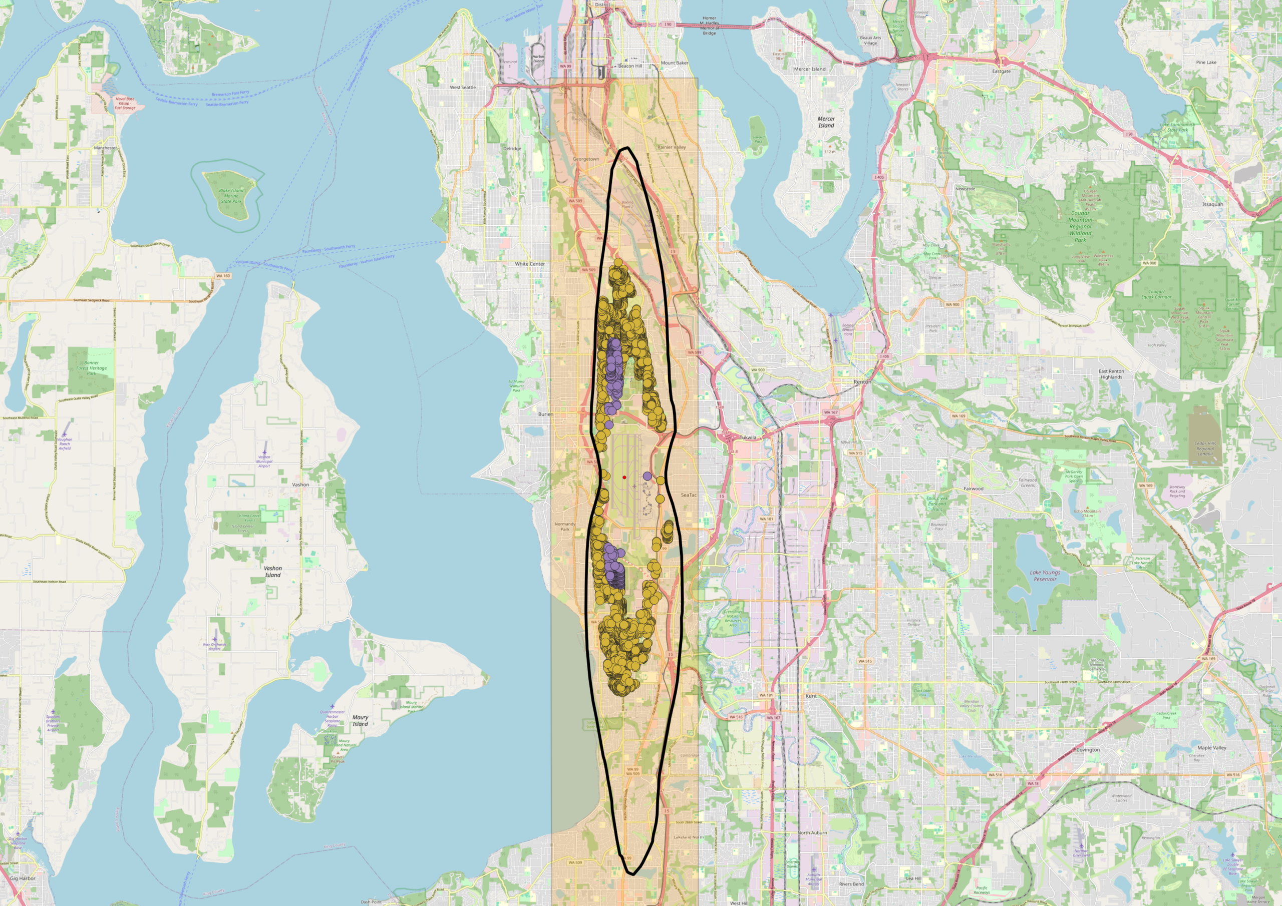
A map centered on the Seattle-Tacoma area showing a vertical orange corridor overlaid on the region stretching from downtown Seattle southward through Burien and SeaTac. Within the corridor, a black oval outline encloses clusters of yellow and purple data points, likely representing noise-impacted properties or complaint locations near Sea-Tac Airport's flight path.
We use cookies to provide basic functionality. We also provide access to search engines in order to provide site analytics. We do not sell or share your data.