TagLand(18)
-
 1995-01-01
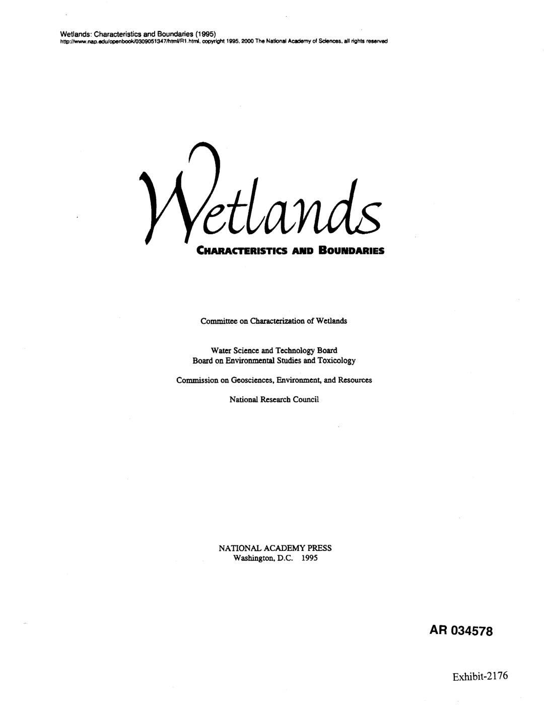
EXH AR034578: Wetlands: Characteristics and Boundaries (1995) — Chapter 6, Especially Controversial Wetlands
National Research Council publication ‘Wetlands: Characteristics and Boundaries’ (1995), Committee on Characterization of Wetlands, Water Science and Technology Board, Board on Environmental Studies and Toxicology, Commission on Geosciences, Environment, and Resources. Exhibit AR034578. Chapter 6 covers especially controversial wetlands including permafrost wetlands, riparian ecosystems, isolated and headwater wetlands, shallow wetlands, agricultural wetlands, nonagricultural altered sites, -
 1991-09-01
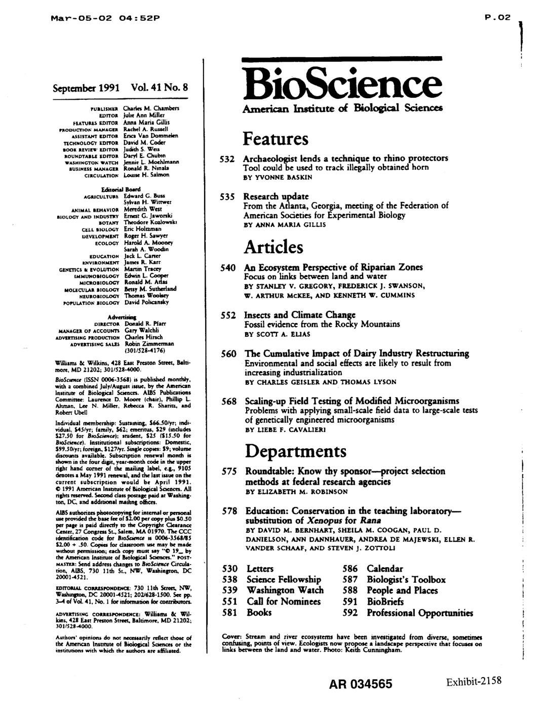
EXH AR034565: An Ecosystem Perspective of Riparian Zones — Focus on Links Between Land and Water
Academic article by Stanley V. Gregory, Frederick J. Swanson, W. Arthur McKee, and Kenneth W. Cummins published in BioScience Vol. 41 No. 8 (September 1991). Presents an ecosystem perspective of riparian zones as three-dimensional interfaces between terrestrial and aquatic ecosystems, focusing on geomorphic processes, valley floor landforms (floodplains, terraces, alluvial fans, active channels), terrestrial plant -
 1974-02-28
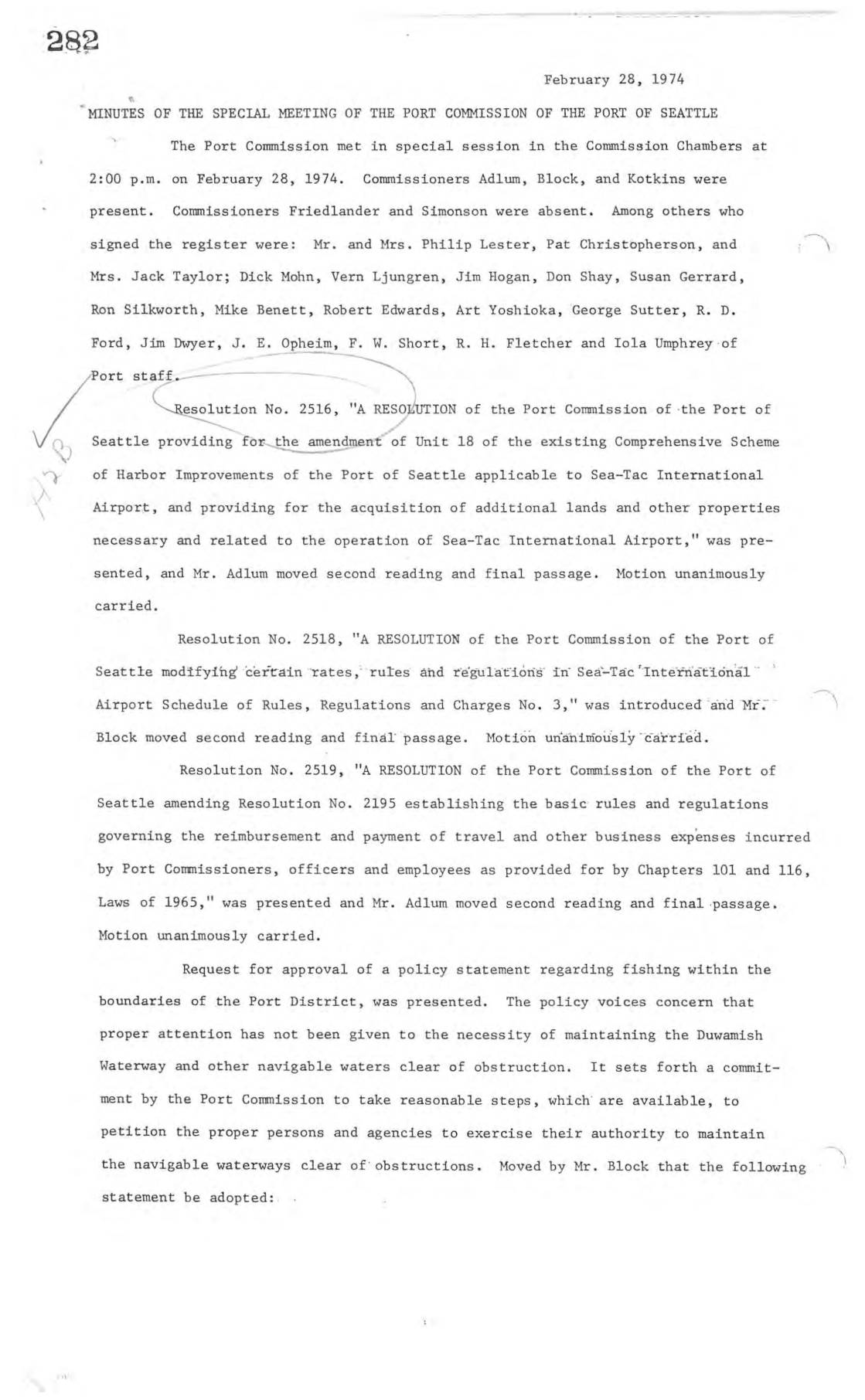
Minutes of the special meeting of the Port Commission of the Port Of Seattle
Minutes from February 1974 Port of Seattle Commission meetings document the adoption of Resolution No. 2516, which authorized the Port to acquire approximately 421 acres of land north and south of Sea-Tac International Airport through condemnation or negotiation. A public hearing drew significant community attendance, including residents of the Zone 3 area near the airport, who expressed support for the plan while requesting that the southern boundary be extended to S. 216th Street. The meetings also addressed related airport operational matters, including modifications to airport rules and charges. -
 1974-01-30
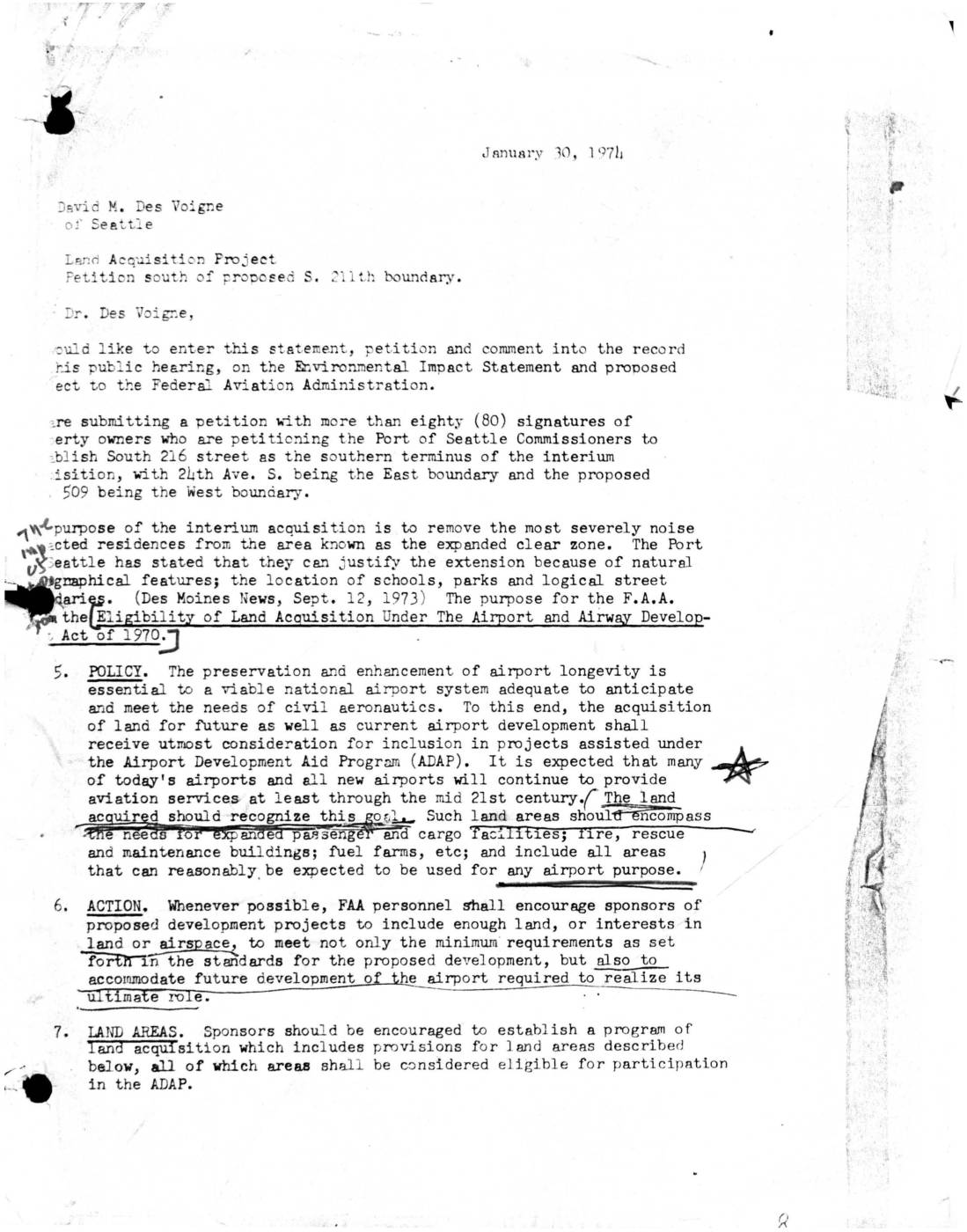
Letter to Port Of Seattle: Petition to Establish South 216th Street as Southern Terminus of Interim Land Acquisition
A January 30, 1974 letter submitted to David M. Des Voigne of the Port of Seattle presents a petition signed by more than 80 property owners requesting that South 216th Street be established as the southern boundary of an interim land acquisition project near Sea-Tac Airport, bounded by 24th Ave. S. to the east and proposed Highway 509 to the west. The petitioners sought to remove the most severely noise-impacted residences from the expanded clear zone. The letter also cites FAA policy under the Airport and Airway Development Act of 1970, which encourages land acquisition to accommodate both current and long-term airport development needs. -
 1973-09-07
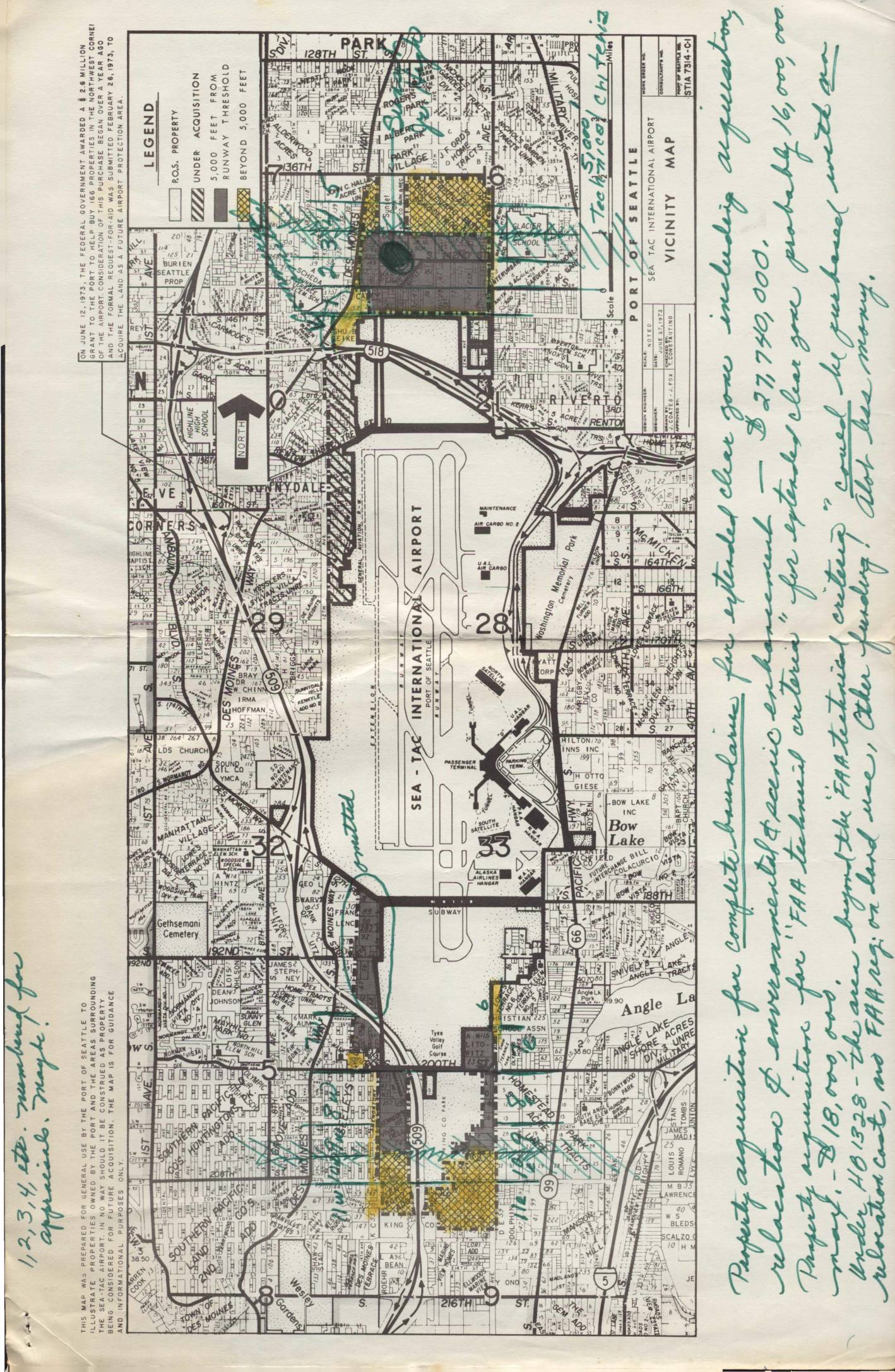
Land use map, heavily notated with property acquisition notes by Virginia Dana
In September 1973, the Port of Seattle's Director of Aviation recommended an interim land acquisition program around Sea-Tac International Airport, targeting approximately 610 residential parcels and 75 acres of open land in clear zones north and south of the runways. The estimated cost of the acquisitions was $15.46 million, with the FAA expected to contribute over $8 million and the Port of Seattle covering the remaining $8 million from airport revenues between 1974 and 1977. Under the best-case timeline, actual land purchases could not begin until after July 1, 1974, following completion of environmental impact statements, housing relocation plans, and FAA review. -
 1973-09-07
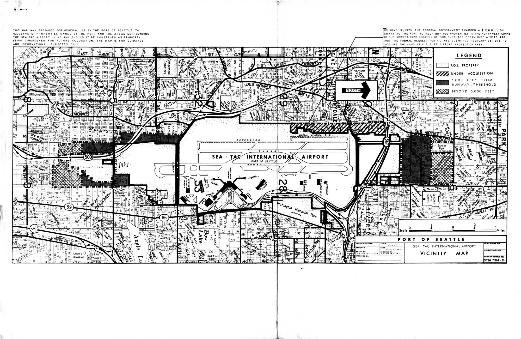
Report and recommendations re interim land acquisition, Sea-Tac International Airport
In September 1973, the Port of Seattle outlined a plan to acquire approximately 610 residential properties and 75 acres of open land surrounding Sea-Tac International Airport to create expanded clear zones north and south of the runways. The total estimated property cost was $15.46 million, with the Port anticipating over $8 million in federal FAA assistance and covering the remainder from airport revenues between 1974 and 1977. Under the best-case scenario, actual land acquisition could not begin until after July 1, 1974, following required environmental impact statements, housing relocation plans, and a multi-month FAA review process. -
 1966-04-17
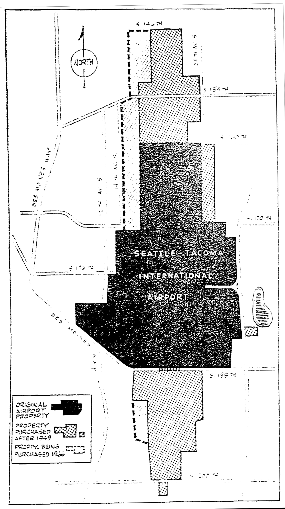
Seattle Daily Times 1966-04-17 airport property purchases
A map showing the land acquisition history of Seattle-Tacoma International Airport, distinguishing between the original airport property, property purchased after 1949, and property being purchased in 1960. The map shows surrounding streets including S. 146th, S. 154th, S. 170th, S. 176th, S. 188th, and S. 200th, as well as Des Moines Way and nearby avenues. -
 1923-06-28
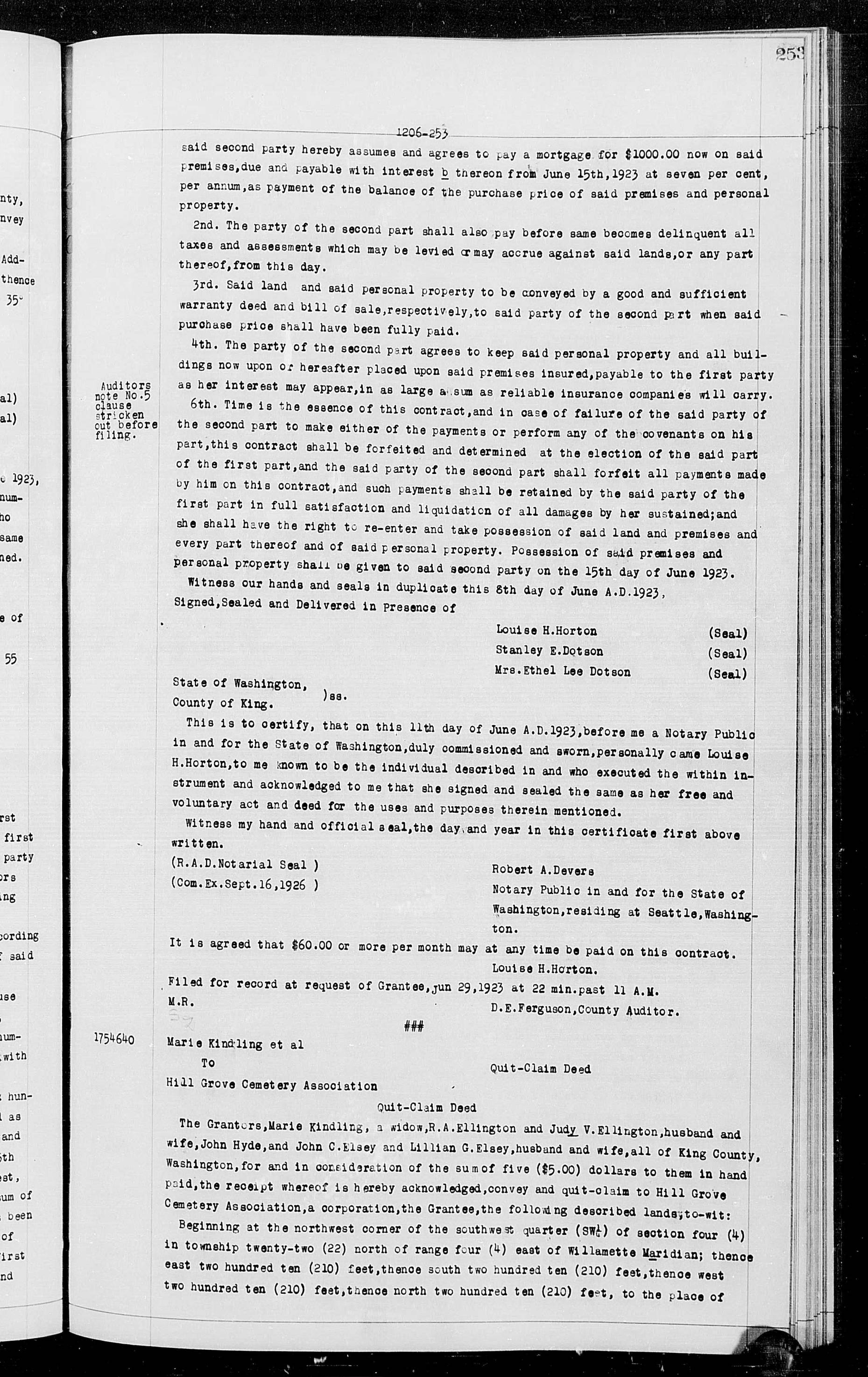
Quit-Claim Deed: Marie Kindling et al. to Hill Grove Cemetery Association
These are King County, Washington property records from June 1923, including a real estate purchase contract, a quit-claim deed transferring land to Hill Grove Cemetery Association, and an assignment of a real estate contract. The documents cover property transactions in the greater Seattle area, detailing payment terms, land descriptions, and notarized acknowledgments. These records are part of the historical King County Auditor's deed registry and are not directly related to Sea-Tac Airport noise policy.