TagEnvironmental Impact Statement(328)
-
 2002-01-09
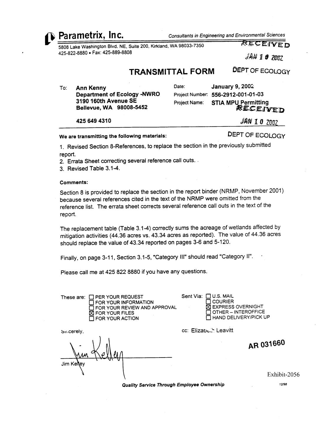
Exhibit 2056: Transmittal Form — STIA MPU Permitting, Revised References and Table 3.1-4 for Natural Resource Mitigation Plan
Transmittal form dated January 9, 2002, from Jim Kelley of Parametrix, Inc. to Ann Kenny at the Washington Department of Ecology NWRO (Northwest Regional Office), Project Number 556-2912-001-01-03, Project Name STIA MPU Permitting. Transmits: (1) Revised Section 8 References for the Natural Resource Mitigation Plan (NRMP, November 2001), correcting omitted citations; (2) Errata Sheet correcting -
 2001-12-12
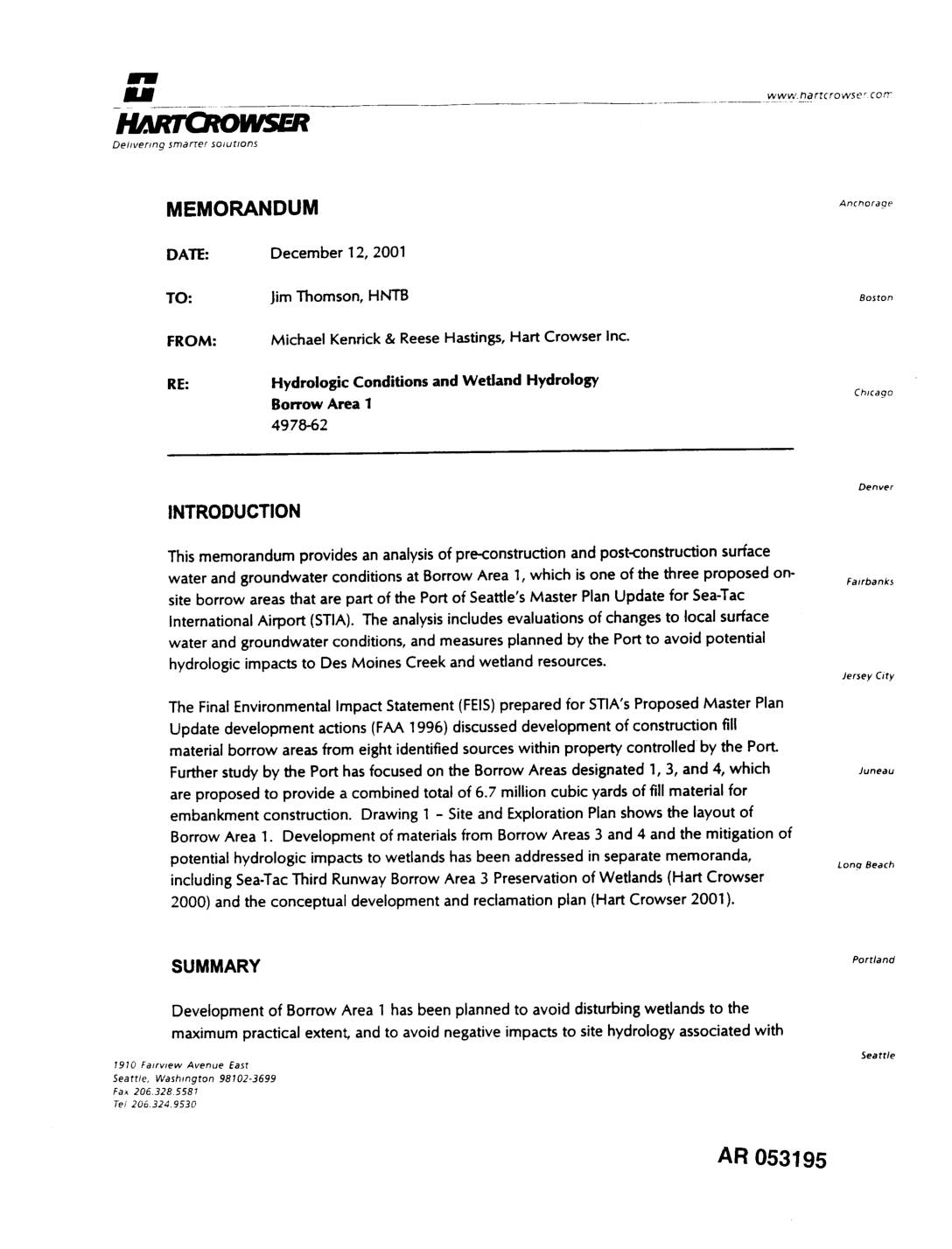
EXH AR053195: Hydrologic Conditions and Wetland Hydrology, Borrow Area 1 — Hart Crowser Memorandum
Memorandum dated December 12, 2001 from Michael Kenrick and Reese Hastings of Hart Crowser Inc. to Jim Thomson of HNTB, project number 4978-62, analyzing pre-construction and post-construction hydrologic conditions at Borrow Area 1 associated with the Port of Seattle Master Plan Update for Sea-Tac International Airport (STIA). Covers surface water and groundwater impacts, wetland hydrology, -
 2001-12-01
EXH AR018164: Low Streamflow Analysis and Summer Low Flow Impact Offset Facility Proposal — Port Of Seattle STIA Master Plan Update
Parametrix, Inc. December 2001 report for Port Of Seattle on Low Streamflow Analysis and Summer Low Flow Impact Offset Facility Proposal for the Seattle-Tacoma International Airport (STIA) Master Plan Update Improvements. Document AR018164, Exhibit 140. Covers HSPF model calibration, embankment modeling, non-hydrologic impacts (cessation of water withdrawals, removal of septic tank discharges), HEC-RAS modeling, vault -
 2001-12-01
EXH AR052659: Low Streamflow Analysis and Summer Low Flow Impact Offset Facility Proposal — Seattle-Tacoma International Airport Master Plan Update Improvements
Parametrix, Inc. report prepared for Port of Seattle, Seattle-Tacoma International Airport Master Plan Update Improvements, December 2001. AR 052659/052660/052661. Volume 1 includes main text and Appendices B through J. Sub-consultants include Aqua Terra Consultants, Earth Tech Inc., Foster Wheeler Environmental Corporation, HNTB, and Pacific Groundwater Group. Addresses low streamflow analysis and summer low flow impact -
 2001-12-01
EXH AR030065: Wetland Functional Assessment and Impact Analysis — Master Plan Update Improvements, Sea-Tac Airport
Wetland Functional Assessment and Impact Analysis prepared by Parametrix, Inc. for Port Of Seattle, December 2001, project number 556-2912-001 (03). Assesses wetland functions and impacts associated with Seattle-Tacoma International Airport Master Plan Update Improvements including the new Third Runway, Runway Safety Areas (RSAs), relocation of South 154th Street, Borrow Area 1 excavation, South Aviation Support -
 2001-12-01
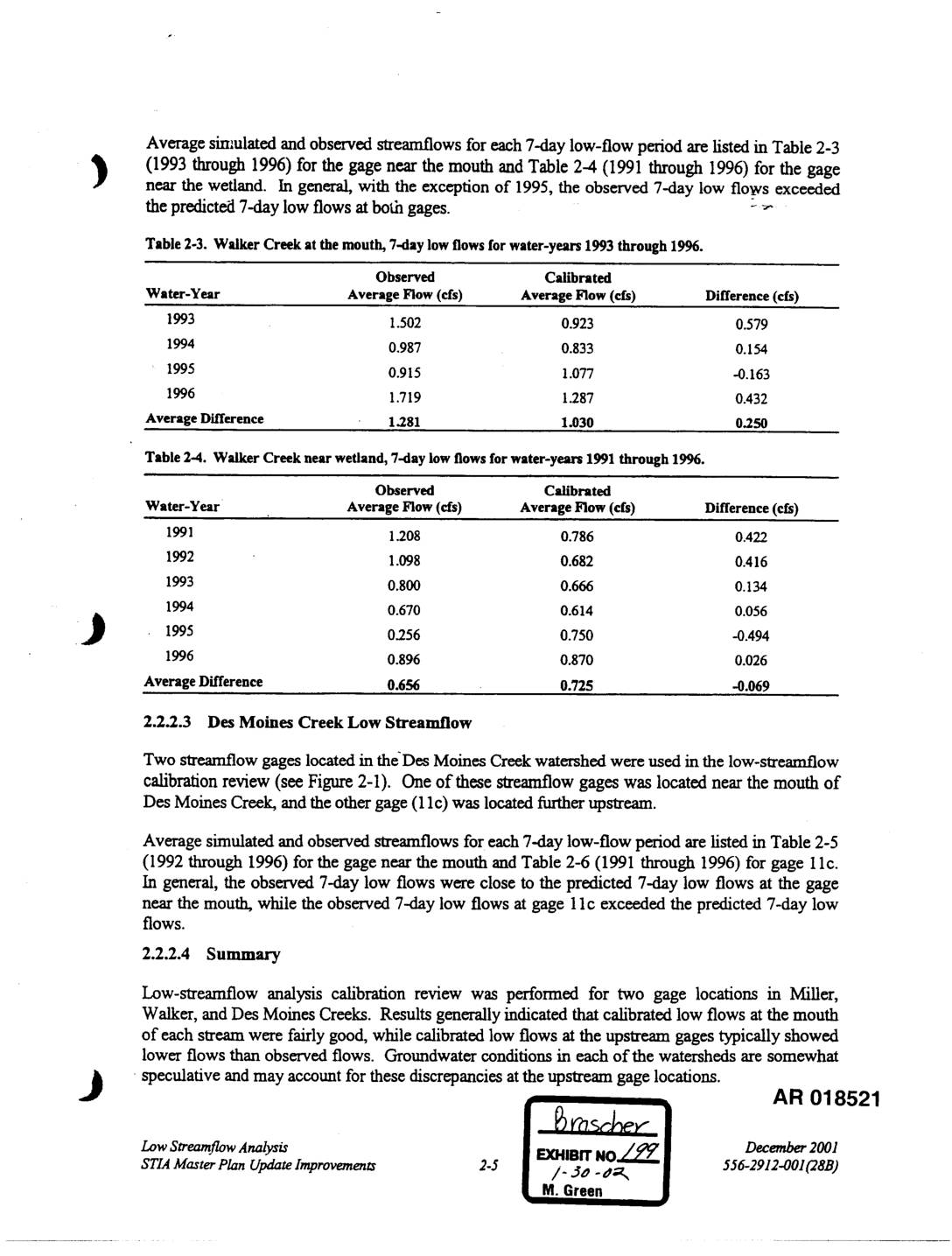
Exhibit 199: Walker Creek and Des Moines Creek 7-Day Low-Flow Calibration Analysis, STIA Master Plan Update
This technical document compares observed and model-predicted 7-day low streamflows for Walker Creek and Des Moines Creek near Seattle-Tacoma Airport for water years 1991–1996. Results show that calibrated (simulated) flows generally underestimated observed flows at most gage locations, with the exception of 1995, when the model overpredicted flows. Discrepancies at upstream gage locations are attributed to uncertain groundwater conditions within the watersheds. -
 2001-11-27
EXH AR052548: Sea-Tac Third Runway Embankment Fill Modeling in Support of Low Streamflow Analysis
Report by Pacific Groundwater Group (project JE0105) prepared for Port Of Seattle, dated November 27, 2001, analyzing embankment fill modeling in support of low streamflow analysis for the Sea-Tac Third Runway. Uses HYDRUS-SLICE modeling to assess vertical infiltration through embankment fill materials (General Fill and Type 1 Fill), saturated flow beneath the fill, and effective -
 2001-11-16
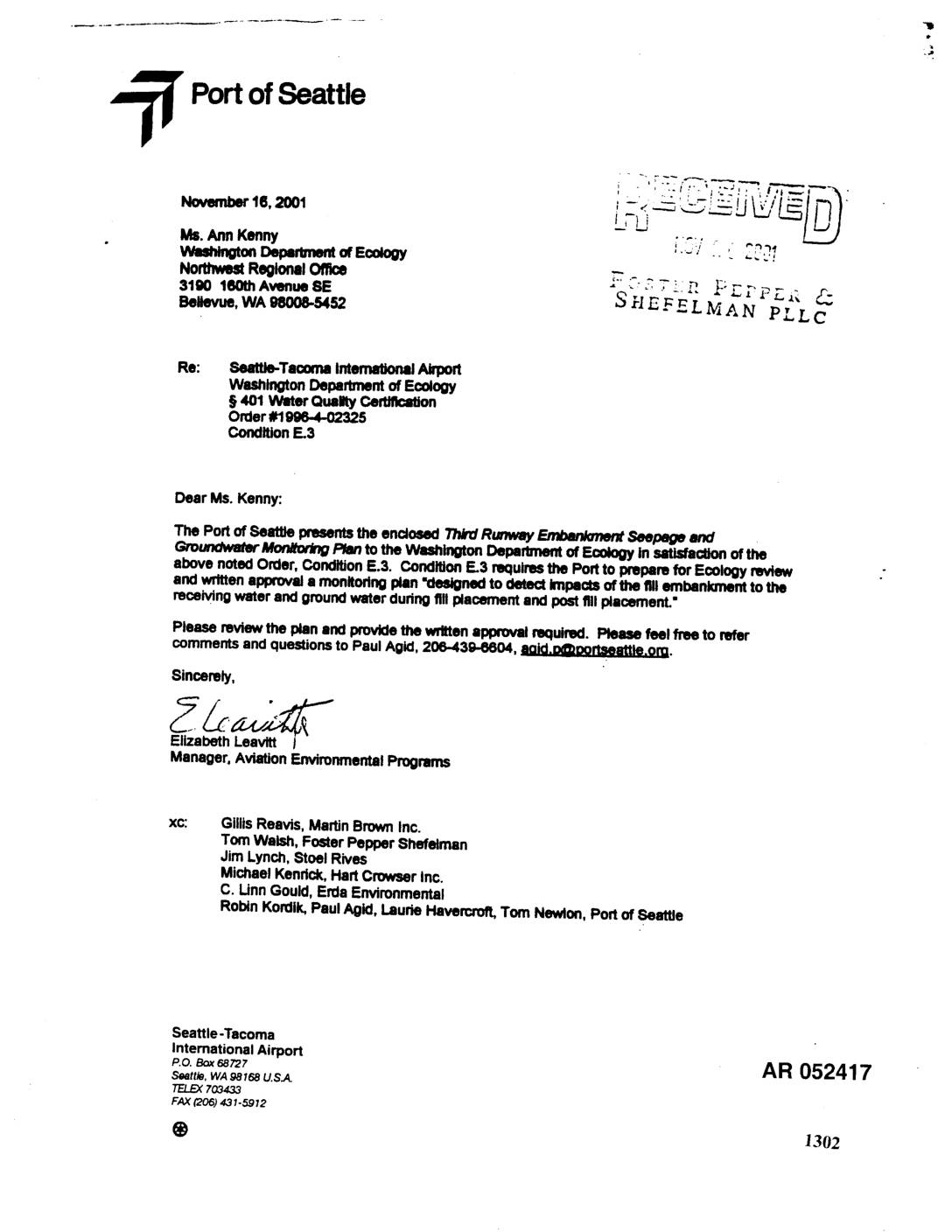
EXH AR052417: Third Runway Embankment Fill Monitoring Plan — 401 Certification Condition E.3
Port Of Seattle letter dated November 16, 2001 from Elizabeth Leavitt, Manager of Aviation Environmental Programs, to Ann Kenny at the Washington Department of Ecology Northwest Regional Office, transmitting the Third Runway Embankment Seepage and Groundwater Monitoring Plan in satisfaction of § 401 Water Quality Certification Order #1998-4-02325, Condition E.3. The plan, AR 052417–052419, covers -
 2001-11-15
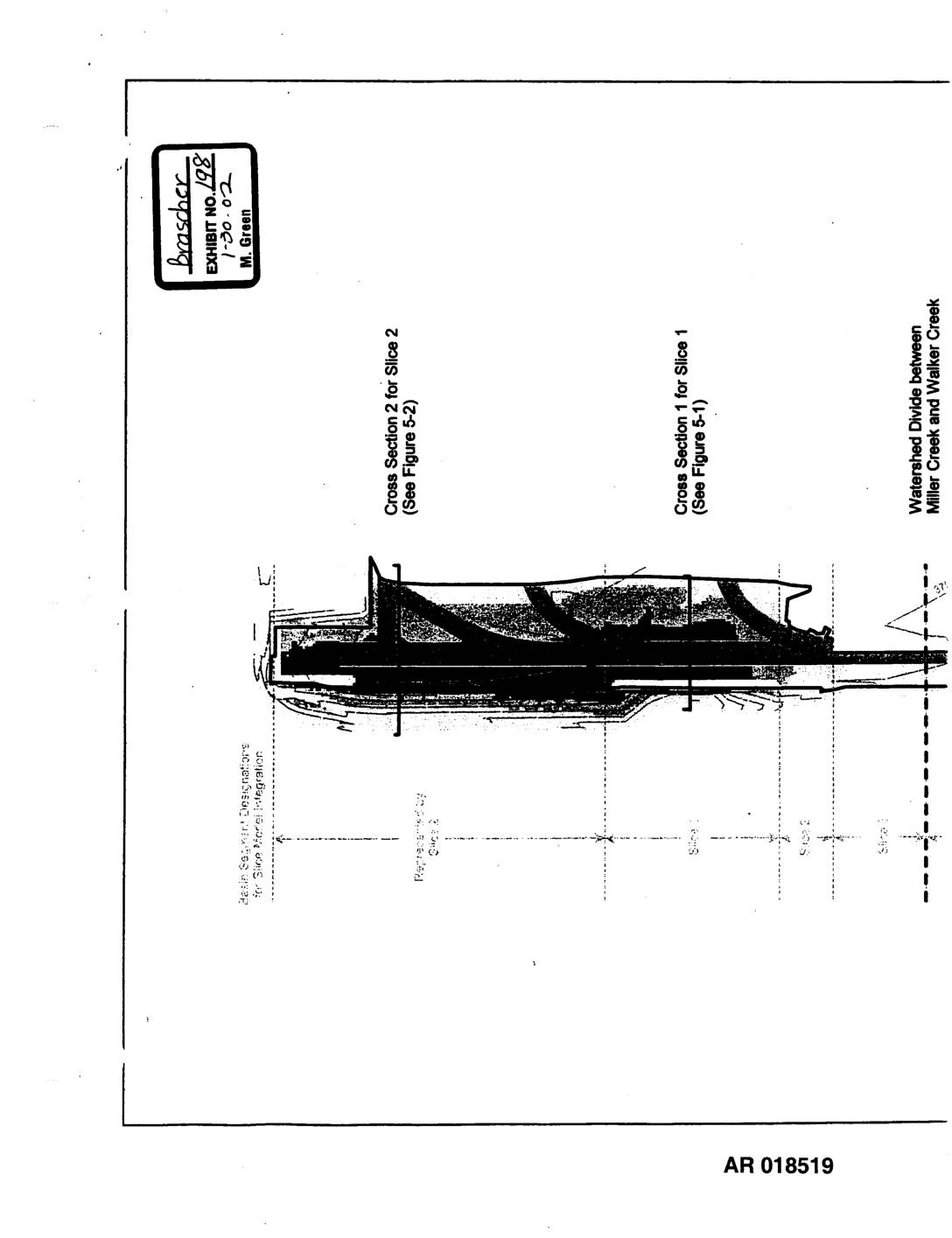
Exhibit 198: Sea-Tac Third Runway Embankment Fill Modeling — Site Features for Hydrus-Slice Modeling (Figure 2-1)
This document presents site features and cross-sectional diagrams used for Hydrus-Slice hydrological modeling of the Sea-Tac Third Runway Embankment Fill project. It shows fill depths ranging from 0 to 160 feet across multiple modeled slices, with cross sections identifying impervious areas, elevation contours, and the watershed divide between Miller Creek and Walker Creek. The figures were produced in November 2001 as part of environmental engineering analysis for the third runway construction. -
 2001-11-01
EXH AR17604: Figure 1.3-1 — Master Plan Update Improvement Projects at STIA
Port of Seattle Natural Resource Mitigation Plan figure (AR017604, Exhibit 46, dated 12-20-01) showing Master Plan Update Improvement Projects at Seattle-Tacoma International Airport (STIA). Map depicts Third Runway construction area, Runway Safety Areas (RSAs), MSE retaining walls used to avoid and minimize wetland impacts, relocated section of Miller Creek, Miller Creek Detention Facility, Lora Lake,