TagAirport Layout Plans(31)
-
 2021-09-09
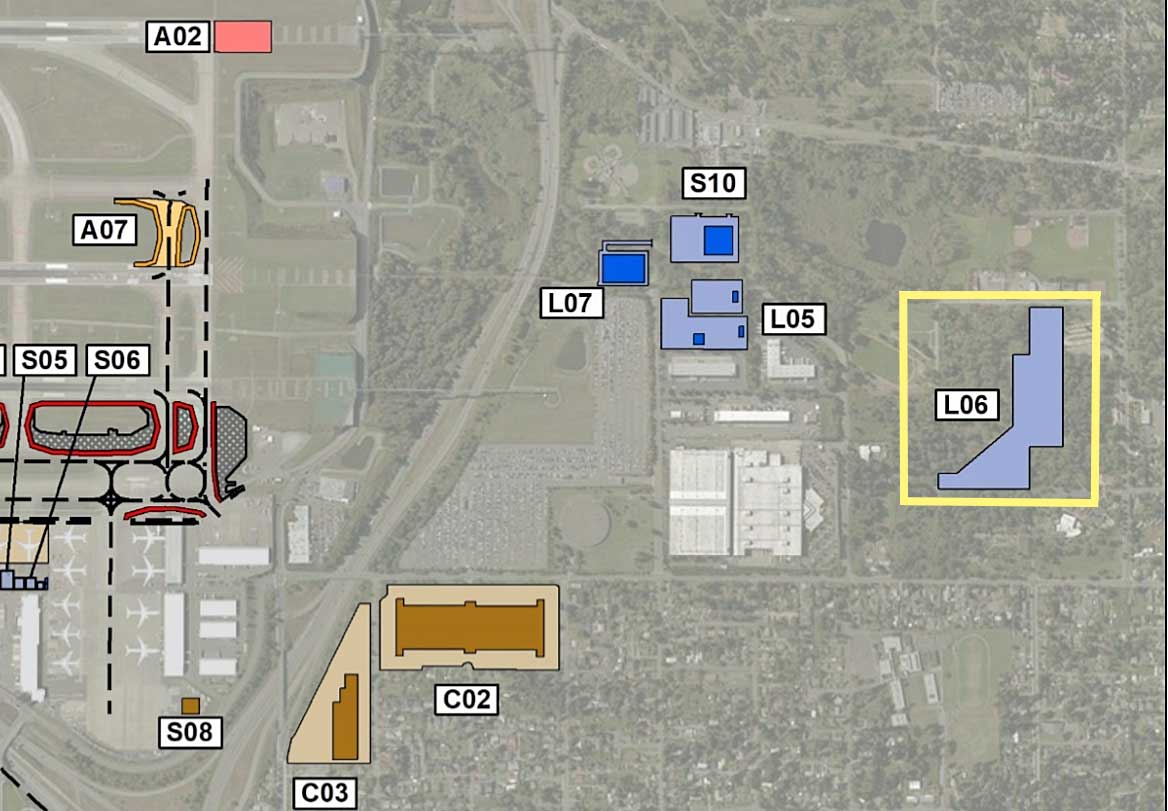
Sea-Tac Airport Parking Lot L06 Site Map
An aerial map overlay showing labeled parcels or project zones (A02, A07, S05, S06, S08, S10, L05, L06, L07, C02, C03) near what appears to be a major airport, with color-coded polygons indicating different land use or development categories. Zone L06 is highlighted with a yellow border, suggesting it is a focus area in this planning or noise-policy document. -
 2012-09-11
Airport Sustainability Master Plan
This September 2012 Port of Seattle presentation outlines the Airport Sustainability Master Plan for Seattle-Tacoma International Airport, comparing existing and future airport layout conditions. The plan maps proposed near-term development projects across the airfield, terminal areas, parking facilities, and surrounding grounds. It serves as a long-range planning framework intended to guide responsible airport growth while reflecting the Port of Seattle's sustainability commitments. -
 2012-05-01
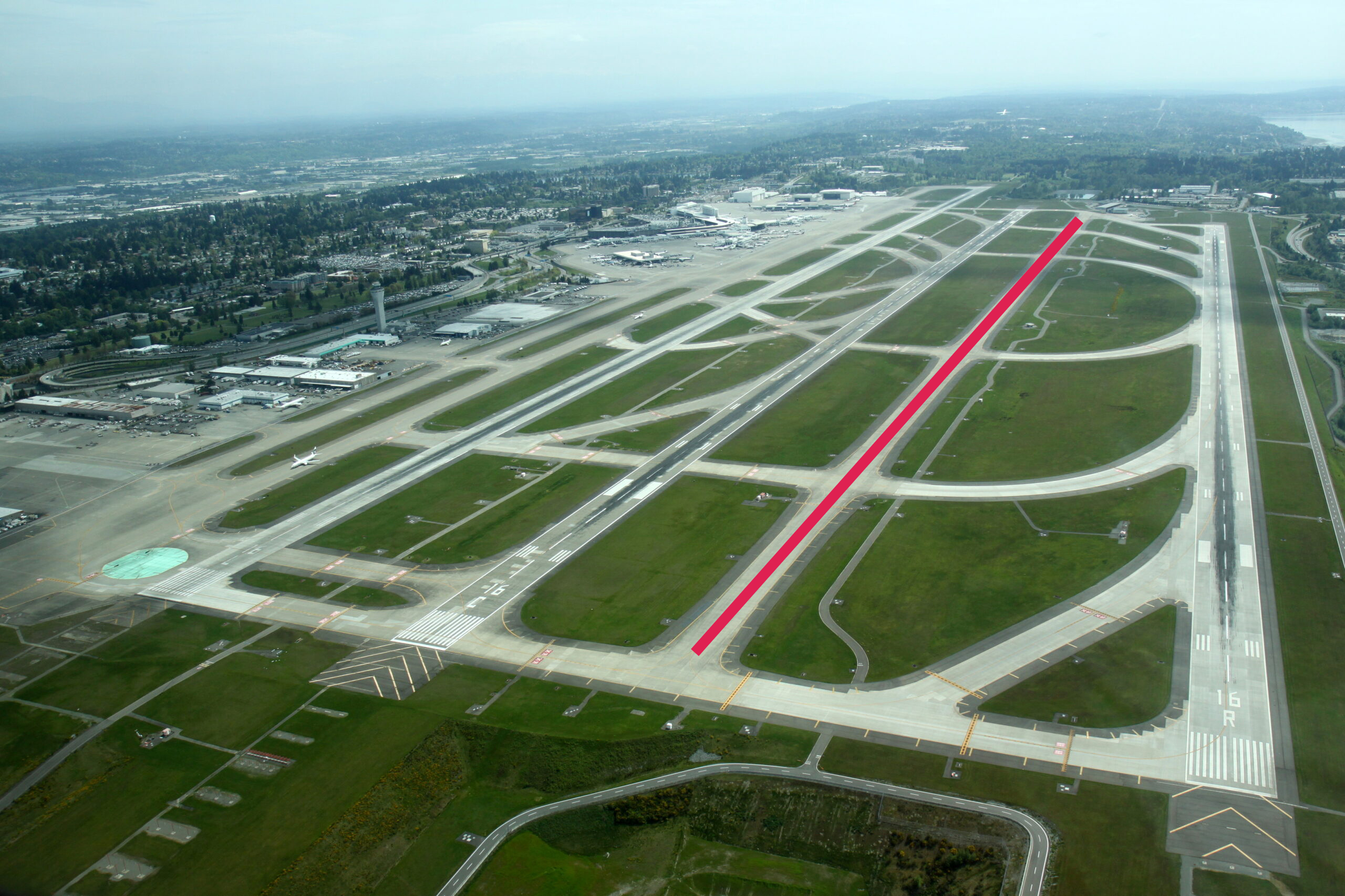
Sea-Tac Airport Parallel Runway Complex Aerial, May 2012
Aerial photograph of Seattle-Tacoma International Airport showing the parallel runway complex, with runway designation '16R' visible in the lower right. A red line is overlaid on what appears to be a taxiway or runway segment between the center and east runways, likely marking a specific infrastructure element for noise-policy or planning documentation purposes. -
 2004-05-03
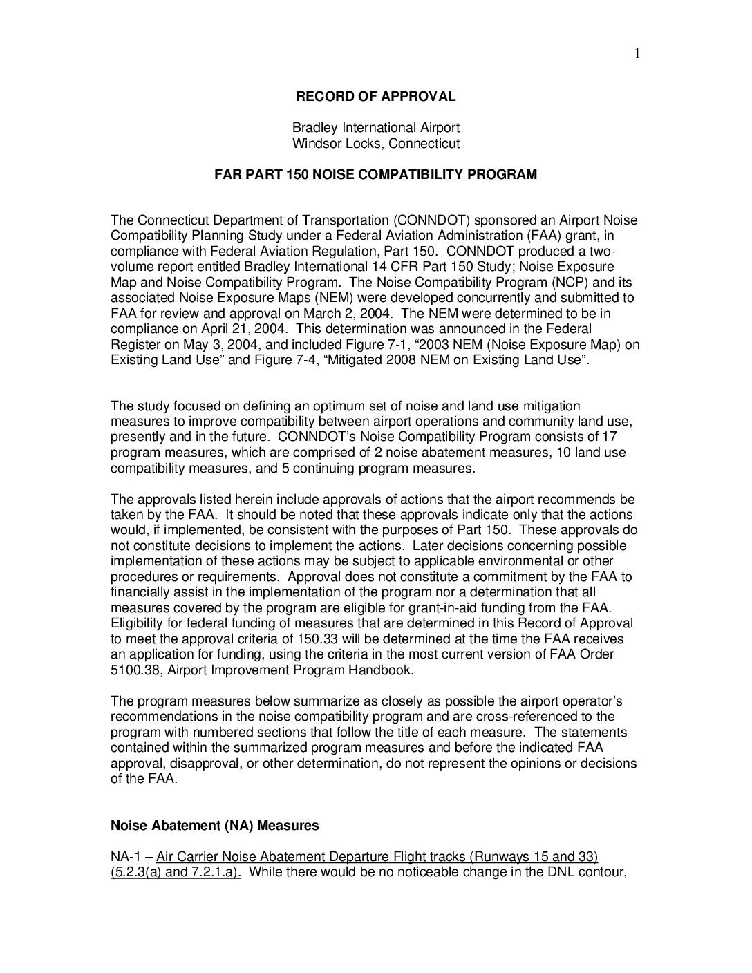
Record of Approval – Bradley International Airport FAR Part 150 Noise Compatibility Program
FAA Record of Approval for Bradley International Airport’s Part 150 Noise Compatibility Program, detailing approved and disapproved noise abatement and land use compatibility measures. The program includes 17 measures comprising 2 noise abatement measures, 10 land use compatibility measures, and 5 continuing program measures. -
 2003-01-27
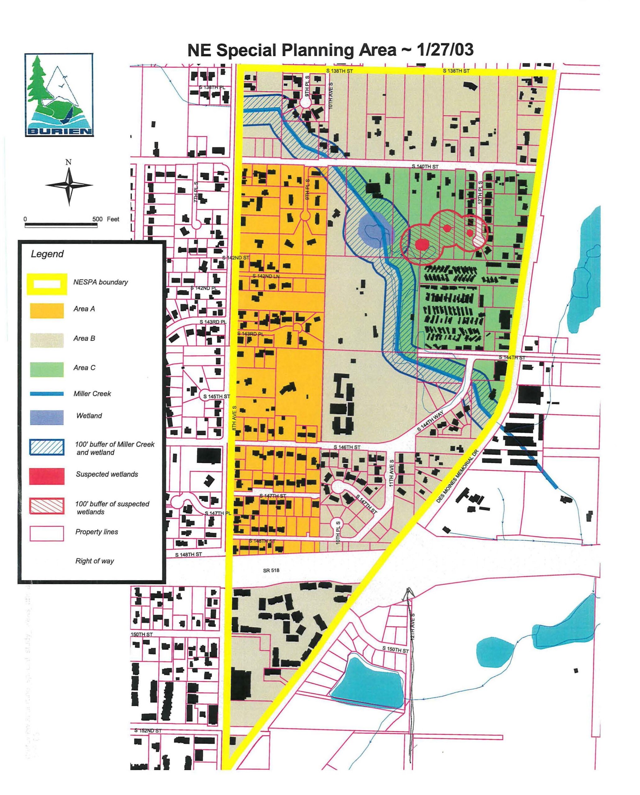
NE Special Planning Area ~ 1/27/03
A planning map dated 1/27/03 produced by the City of Burien, Washington, delineating the Northeast Special Planning Area (NESPA) boundary. The map shows three sub-areas (A, B, C), Miller Creek and its 100-foot buffer, wetlands and suspected wetlands, and is bounded roughly by S 138th St to the north and SR 518 to the south, adjacent to Des Moines Memorial Drive. -
 1985-01-25
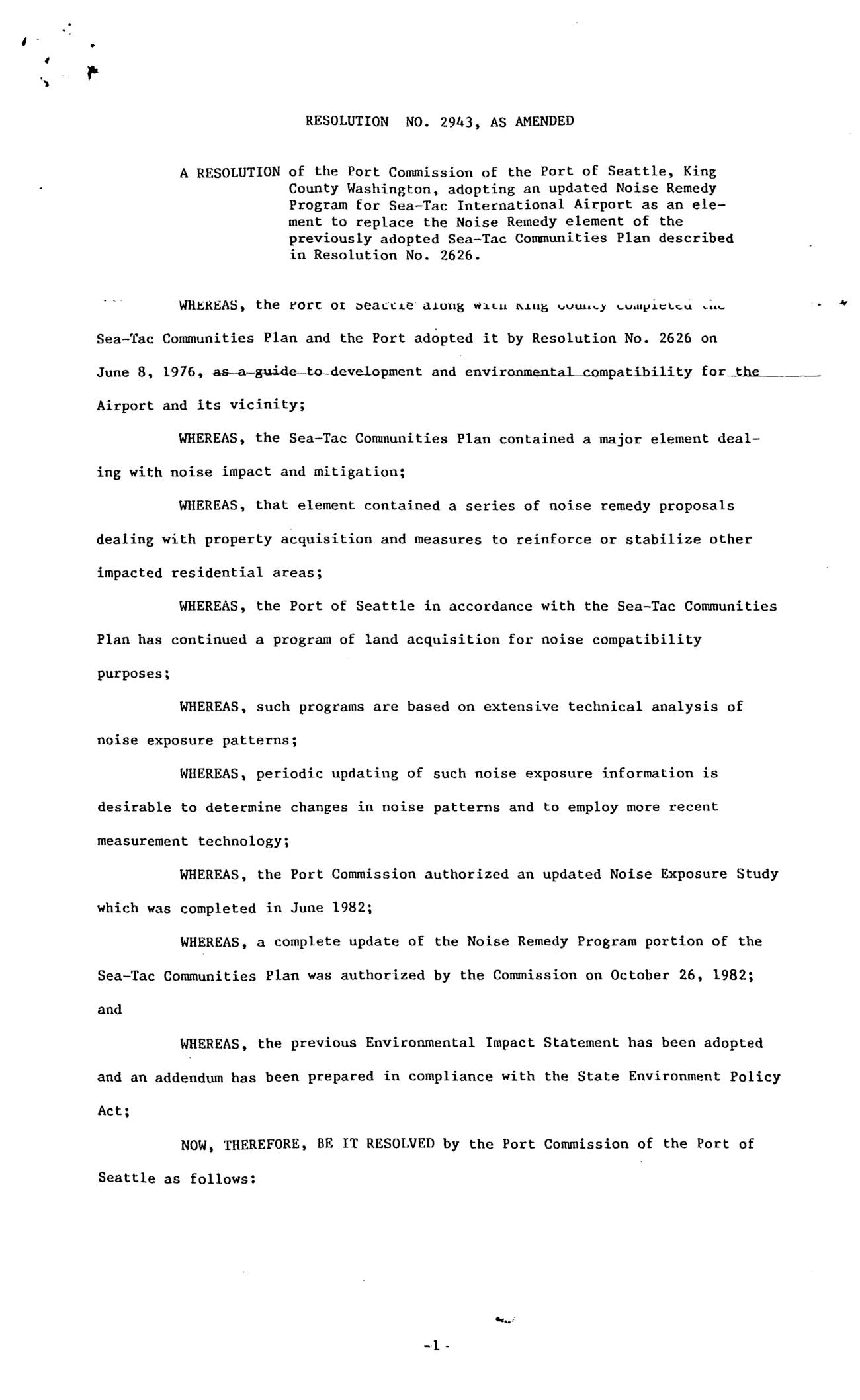
Resolution No. 2943 – Updated Noise Remedy Program
★ 32Resolution No. 2943 was adopted by the Port Commission of the Port of Seattle to update the Noise Remedy Program for Sea-Tac International Airport, replacing the earlier noise remedy element from the 1976 Sea-Tac Communities Plan. The resolution authorizes property acquisition in high-noise areas, implementation of nine noise abatement measures, and a Demonstration Project (budgeted at up to $1 million) to test alternatives to acquisition such as noise insulation and transaction assistance for affected homeowners. Priority for remedies is given based on noise intensity, length of residency, and financial hardship, with annual progress reports required to guide ongoing program evaluation. -
 1982-01-01
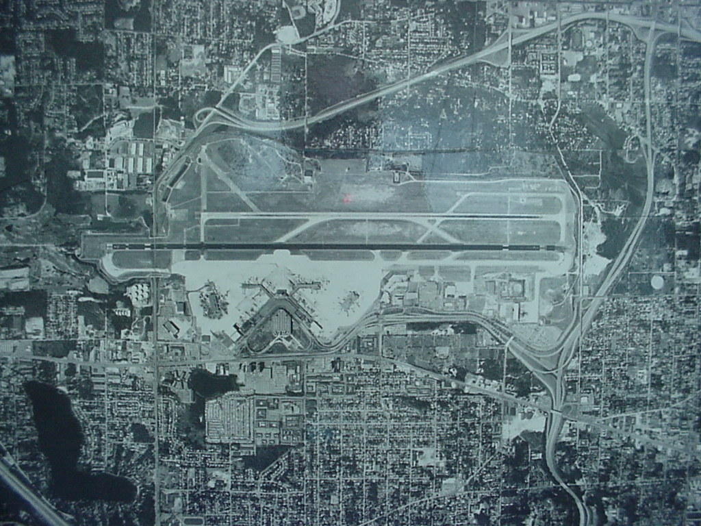
Sea-Tac Airport Aerial View, 1982
Black-and-white aerial photograph showing a large commercial airport with multiple parallel runways, terminal buildings with gate concourses, and surrounding urban development including residential neighborhoods, roads, and highway interchanges. No visible text, date, or identifying labels are present in the image. -
 1948-01-01
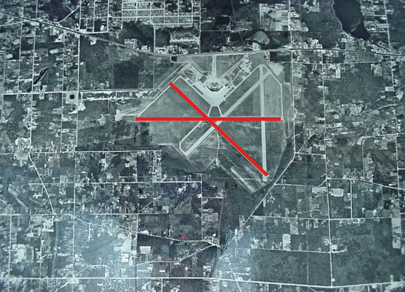
Sea-Tac Airport 1948 Aerial Photograph With Closed Runway Markers
Black-and-white aerial photograph of an airport facility showing multiple runways in an X-pattern configuration. Two red lines have been overlaid on the image forming an X shape, a standard aeronautical symbol indicating closed or decommissioned runways. -
 1948-01-01
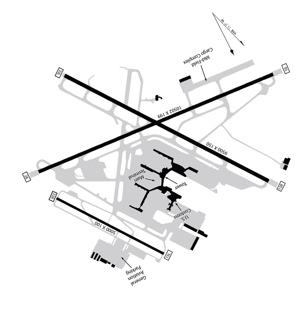
Seatac Airport Map 1948 rotated
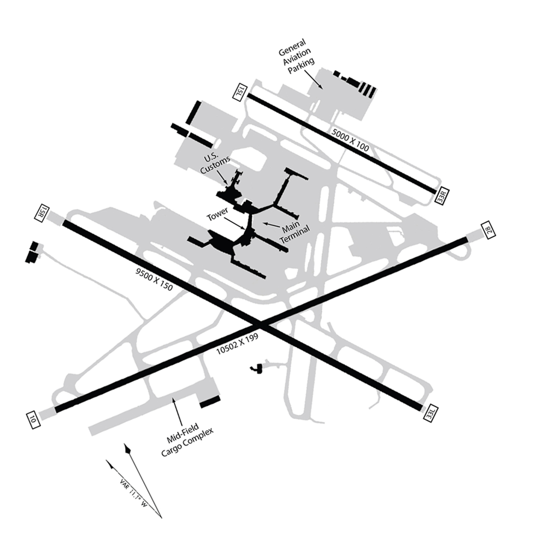
An airport diagram showing multiple runways including dimensions 10502x199 and 9500x150 and 5000x100, with labeled facilities including Main Terminal, Tower, U.S. Customs, Mid-Field Cargo Complex, and General Aviation Parking. Runway end identifiers visible include 33L, 15L, 15R, 28, and 10, suggesting a multi-runway facility, though the specific airport is not explicitly named in visible text. -
 1948-01-01
Sea-Tac Airport Layout Map with Three Runways (1948)
Airport layout diagram of Seattle-Tacoma International Airport showing three runways (9500x150, 10502x199, and 5000x100 ft), with labeled facilities including the Main Terminal, Tower, U.S. Customs, General Aviation Parking, and Mid-Field Cargo Complex. Runway end identifiers visible include 15L, 33R, 33L, 15R, and others, with a magnetic variation note of VAR 11.1° W.