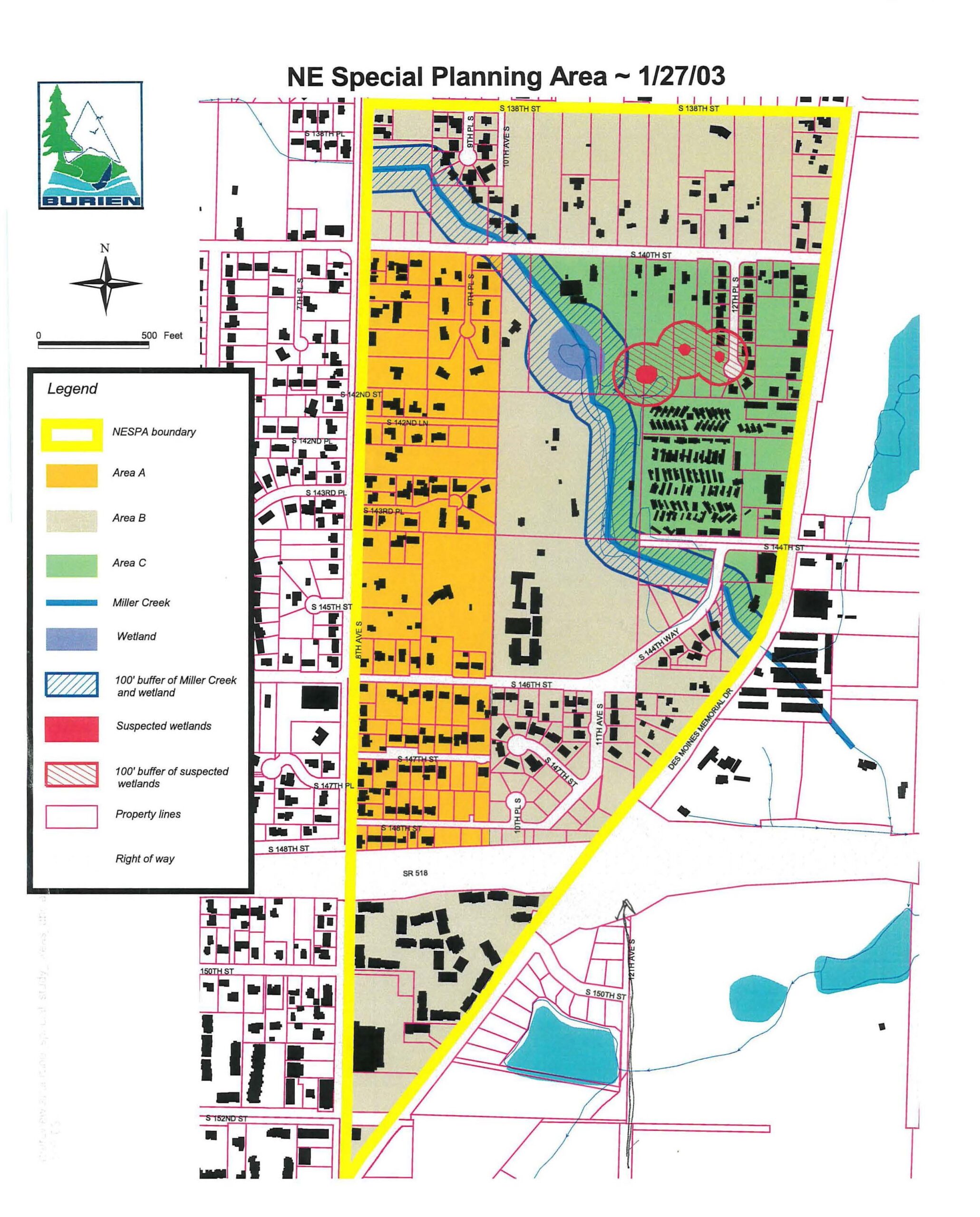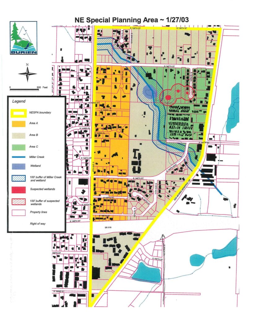
A planning map dated 1/27/03 produced by the City of Burien, Washington, delineating the Northeast Special Planning Area (NESPA) boundary. The map shows three sub-areas (A, B, C), Miller Creek and its 100-foot buffer, wetlands and suspected wetlands, and is bounded roughly by S 138th St to the north and SR 518 to the south, adjacent to Des Moines Memorial Drive.Open full document
Notes
A planning map of the Northeast Special Planning Area dated January 27, 2003, showing different development areas (A, B, C), Miller Creek, wetlands, property boundaries, and buffers. The map includes a legend identifying NESPA boundary, various land use designations, waterways, and development constraints.