TagThird Runway(1084)
-
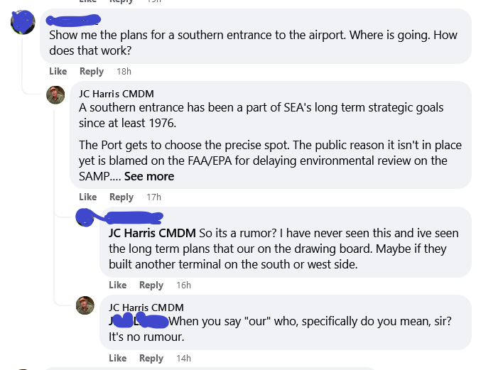
SR-509 south access road is a rumor-Screenshot 2023-01-17 at 13-54-13 Des Moines Community Group Facebook
A Facebook comment thread in which user 'JC Harris CMDM' states that a southern entrance to Seattle-Tacoma International Airport (SEA) has been part of the airport's long-term strategic goals since at least 1976, attributing delays to FAA/EPA environmental review of the SAMP. A second commenter disputes the claim, and Harris pushes back, asking the commenter to clarify who they mean by 'our' and asserting it is not a rumour. -
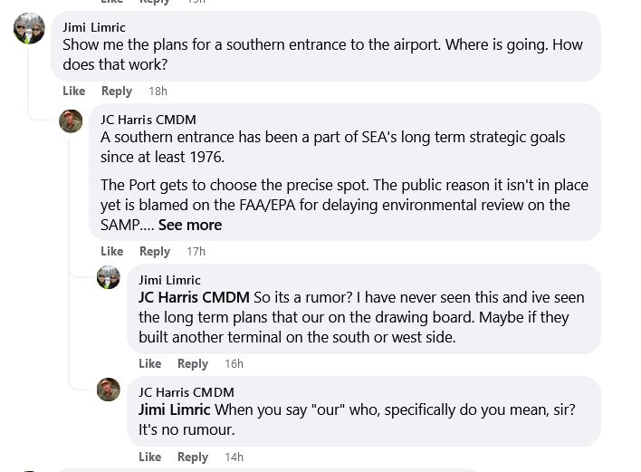
Facebook comment thread: SEA southern entrance debate
A Facebook comment exchange between users Jimi Limric and JC Harris CMDM discussing the history of a proposed southern entrance to Seattle-Tacoma International Airport (SEA). JC Harris CMDM states the southern entrance has been part of SEA's long-term strategic goals since at least 1976, while Limric questions its existence and suggests it may be rumor. -
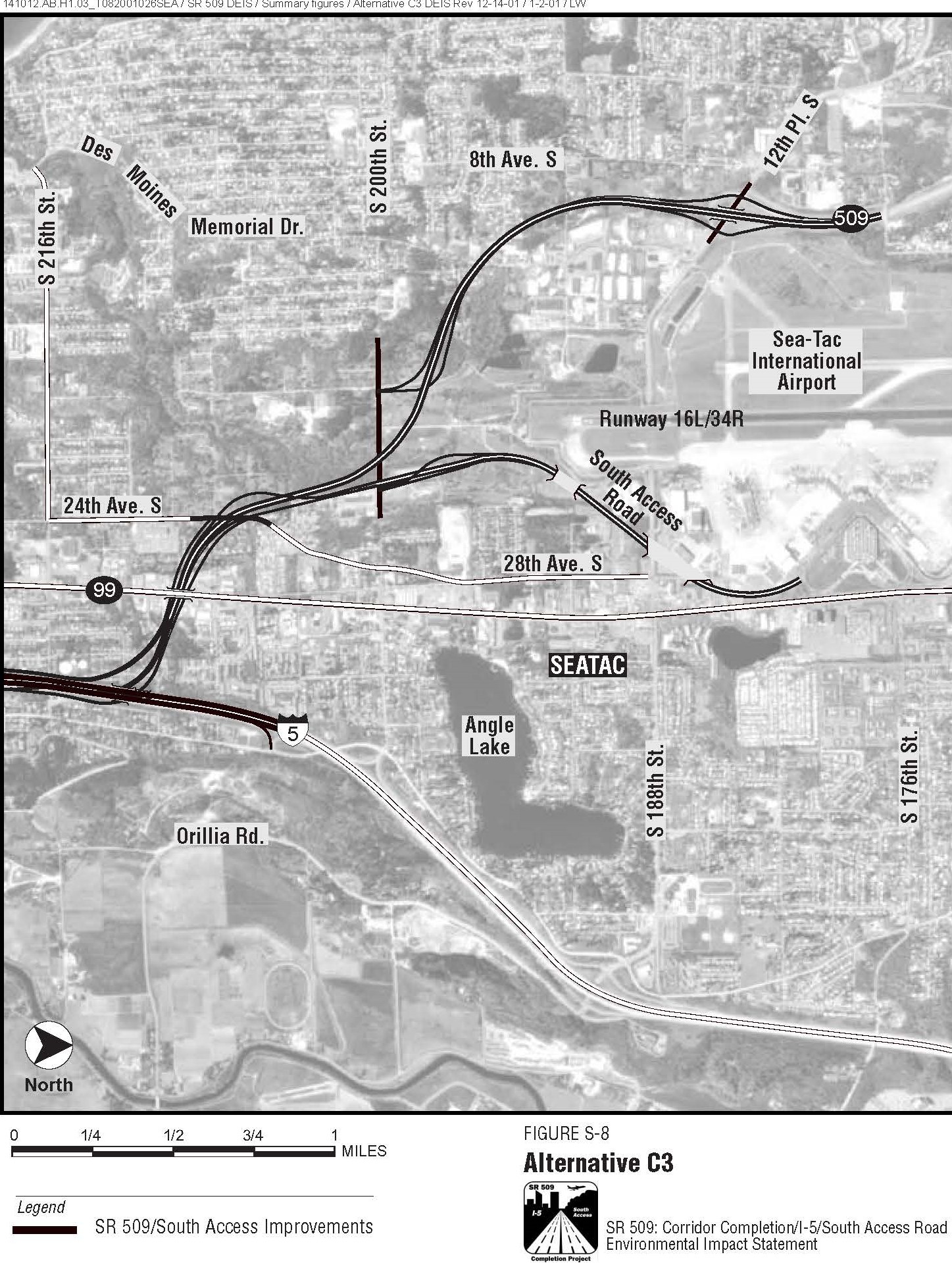
SR 509 RDEIS-ocr SAR-Ca
Figure S-8 from the SR 509 Corridor Completion/I-5/South Access Road Environmental Impact Statement (DEIS), depicting Alternative C3 for proposed SR 509/South Access Road improvements near Sea-Tac International Airport in the SeaTac, Washington area. The aerial map shows proposed roadway alignments connecting SR 509, US-99, and I-5, with reference to Runway 16L/34R and surrounding streets including S 200th St, 8th Ave S, 12th Pl S, 24th Ave S, and 28th Ave S; document file metadata dates the revision to 12-14-01/1-2-017. -
-
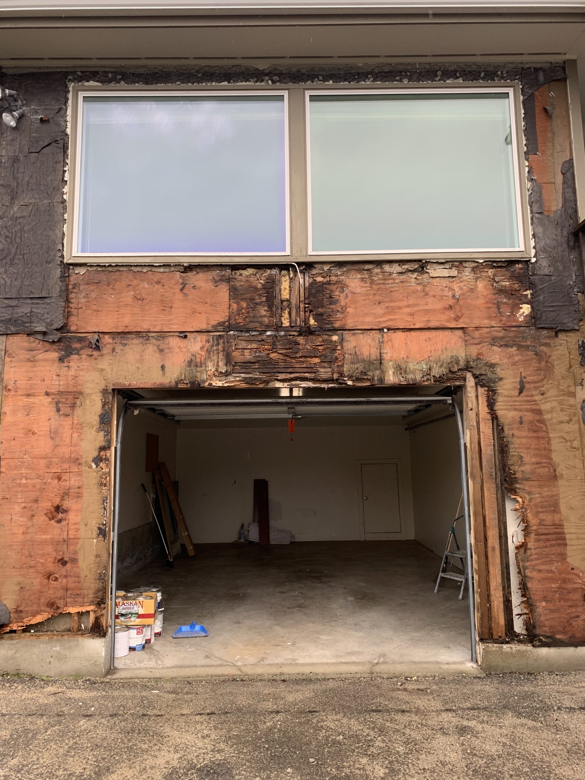
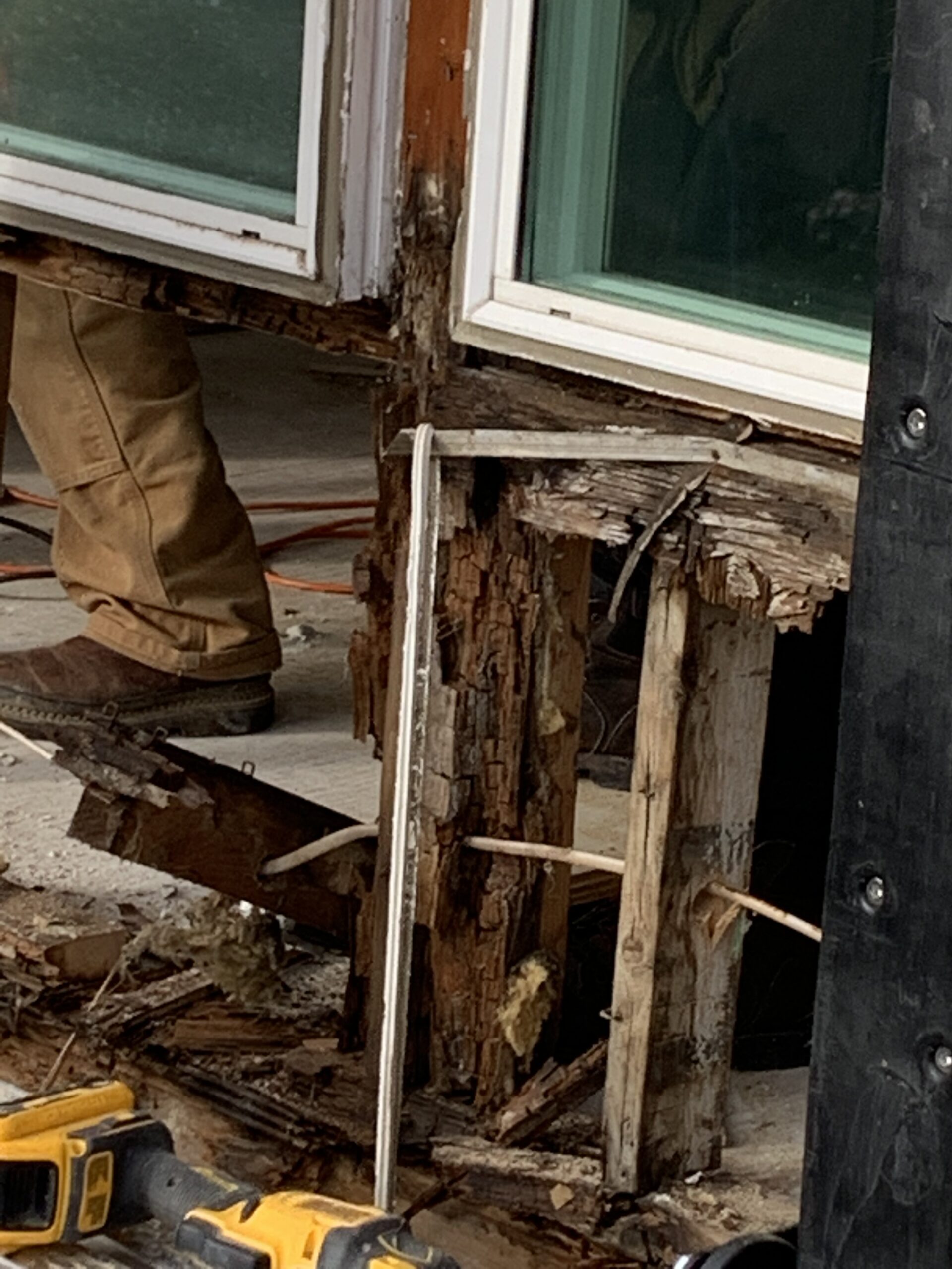
Residential Garage Facade With Severe Water Damage And Siding Removal
A garage opening shows exposed plywood sheathing with extensive rot, mold, and moisture damage after exterior siding was removed. Paint cans visible at lower left include a product labeled 'Alaskan Amber,' suggesting a Pacific Northwest location consistent with the Sea-Tac region. -
 2023-01-15
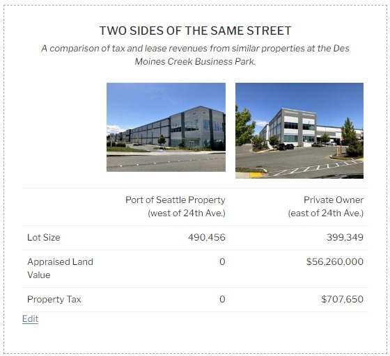
Two Sides Of The Street
An infographic titled 'Two Sides of the Same Street' compares tax and lease revenues for similar properties at Des Moines Creek Business Park. The Port of Seattle property (west of 24th Ave., 490,456 sq ft lot) has an appraised land value of $0 and pays $0 in property tax, while the adjacent private owner property (east of 24th Ave., 399,349 sq ft lot) has an appraised land value of $56,260,000 and pays $707,650 in property tax. -
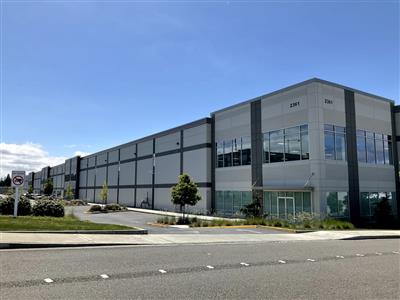
Des Moines Creek Business Park Warehouse (Panattoni)
A modern two-story commercial or light industrial building with gray and white panel cladding and large windows is visible. Partial address numbers '2301' and '2305' (or similar) appear on the building facade, but no organization name or logo is clearly legible. -
The Great Wall Of Sea-Tac
In 1996, the Puget Sound Regional Council (PSRC) gave final approval to the Port of Seattle’s proposal to build a Third Runway. The airport was originally sited on a small plateau about 430 feet above sea level, which ended immediately at the west side of what is now Taxiway Tango. The basic struggle in airport -
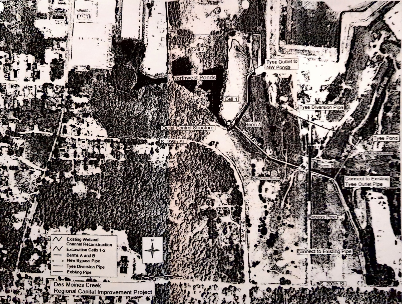
ACC Water District #54 Des-Moines Creek SEPA 2000
Aerial map showing the Des Moines Creek Regional Capital Improvement Project, depicting infrastructure elements including Northwest Ponds (Cells 1 and 2), Tyee Pond, Tyee Diversion Pipe, Outlet Control Structure, Berms A and B, Bypass Pipe, and connections to existing pipes. The map legend identifies existing wetland channel reconstruction, excavation cells, berms, new bypass pipe, Tyee diversion pipe, and existing pipe, with streets S. 196th St., S. 200th St., and 11th Ave S. visible. -
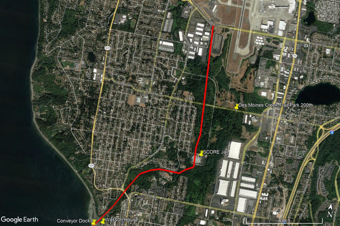
Don Wasson House, Des Moines Marina, Google Earth View to Third Runway
Google Earth satellite image of Des Moines, Washington, showing a red line tracing a route from the Wasson House and Conveyor Dock area near the waterfront northward through the Des Moines Creek Trail corridor to S 188th St near Sea-Tac Airport. Labeled landmarks include the SCORE Jail, Des Moines Creek Trail Park 200th, Des Moines Memorial Drive, and Highway 509, with the route passing through the airport's noise-impacted green buffer zone.