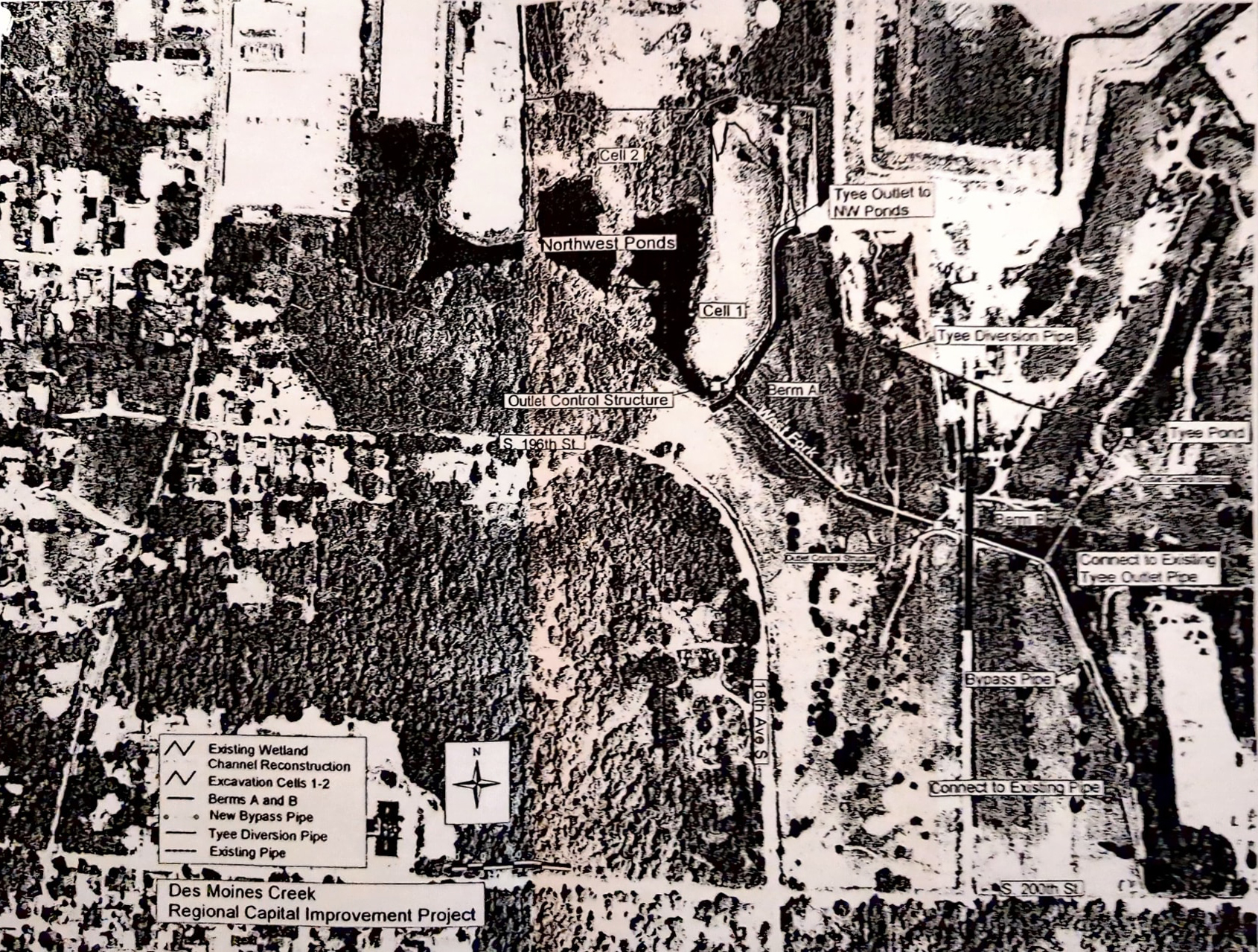
Aerial map showing the Des Moines Creek Regional Capital Improvement Project, depicting infrastructure elements including Northwest Ponds (Cells 1 and 2), Tyee Pond, Tyee Diversion Pipe, Outlet Control Structure, Berms A and B, Bypass Pipe, and connections to existing pipes. The map legend identifies existing wetland channel reconstruction, excavation cells, berms, new bypass pipe, Tyee diversion pipe, and existing pipe, with streets S. 196th St., S. 200th St., and 11th Ave S. visible.Open full document
Notes
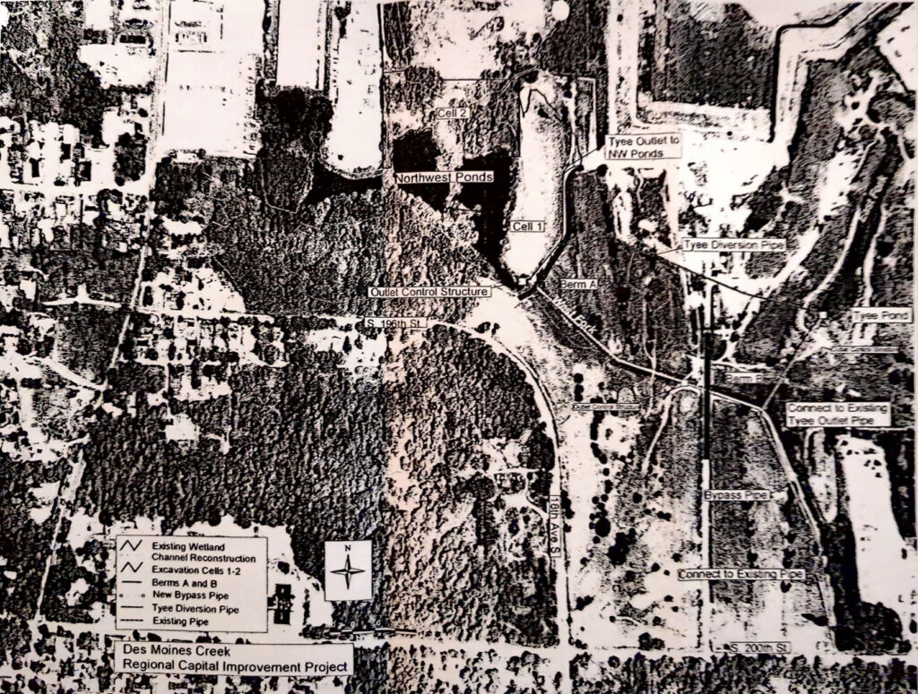
Aerial map showing the Des Moines Creek Regional Capital Improvement Project, depicting infrastructure elements including Northwest Ponds (Cells 1 and 2), Tyee Pond, Tyee Diversion Pipe, Outlet Control Structure, Berms A and B, Bypass Pipe, and connections to existing pipes. The map legend identifies existing wetland channel reconstruction, excavation cells, berms, new bypass pipe, Tyee diversion pipe, and existing pipe, with streets S. 196th St., S. 200th St., and 11th Ave S. visible.