TagSR509(120)
-
 2001-06-22
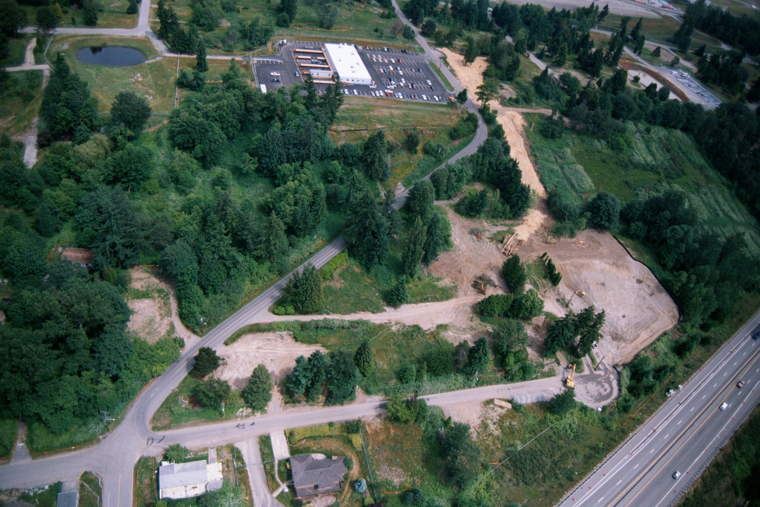
Aerial View of Land Clearing and Grading Operations Near Highway
Aerial photograph showing active land clearing and grading operations adjacent to a multi-lane highway (visible at right), with a commercial building and parking lot visible in the upper center. The site shows exposed soil, construction equipment, dirt access roads, and surrounding forested areas consistent with pre-development site preparation, potentially related to airport noise buffer land acquisition or compatible land use development. -
 2001-06-22
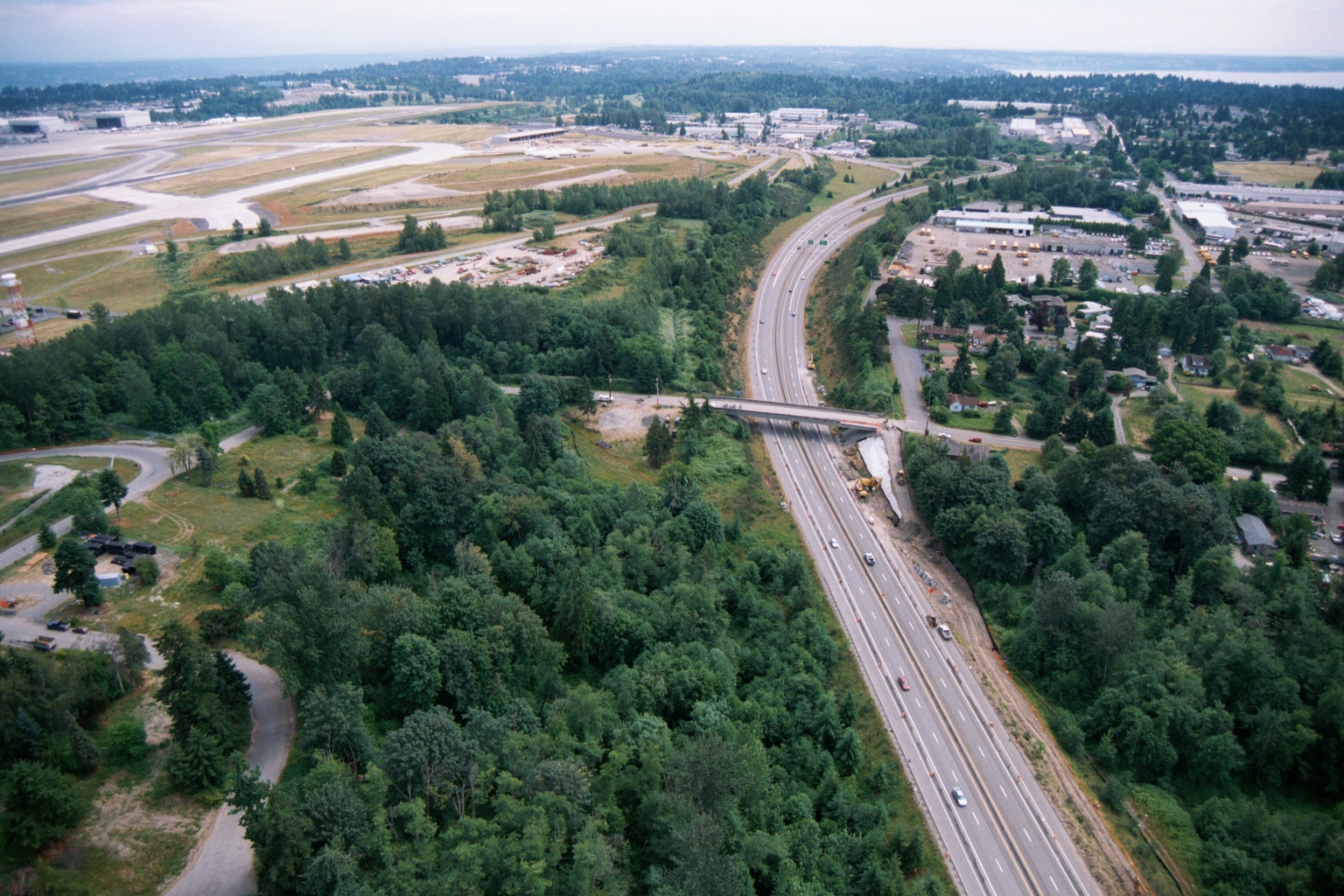
Aerial View of Highway Construction Adjacent to Sea-Tac Airport
Aerial photograph showing a multi-lane highway (likely Interstate 5 or SR-99) undergoing construction or widening adjacent to what appears to be Seattle-Tacoma International Airport, visible in the upper left with its runways and terminal facilities. A bridge overpass is under construction mid-frame, with heavy equipment visible, surrounded by forested areas and suburban development. -
 2001-06-22
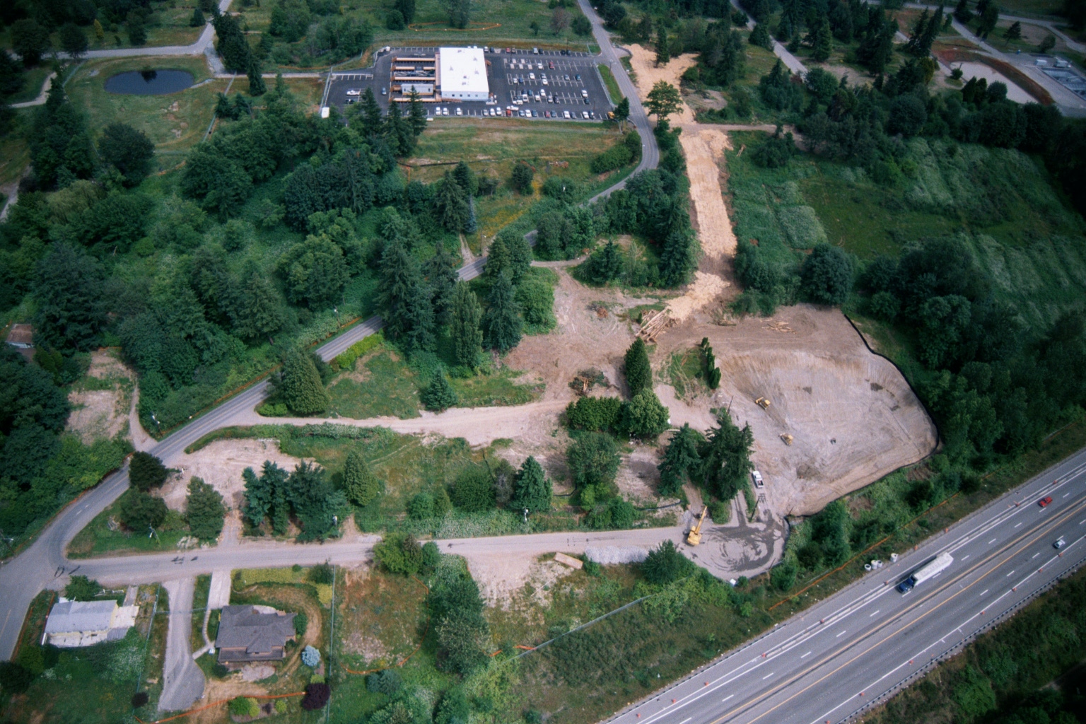
Aerial Photograph of SR-509 Corridor
-
 2001-06-22
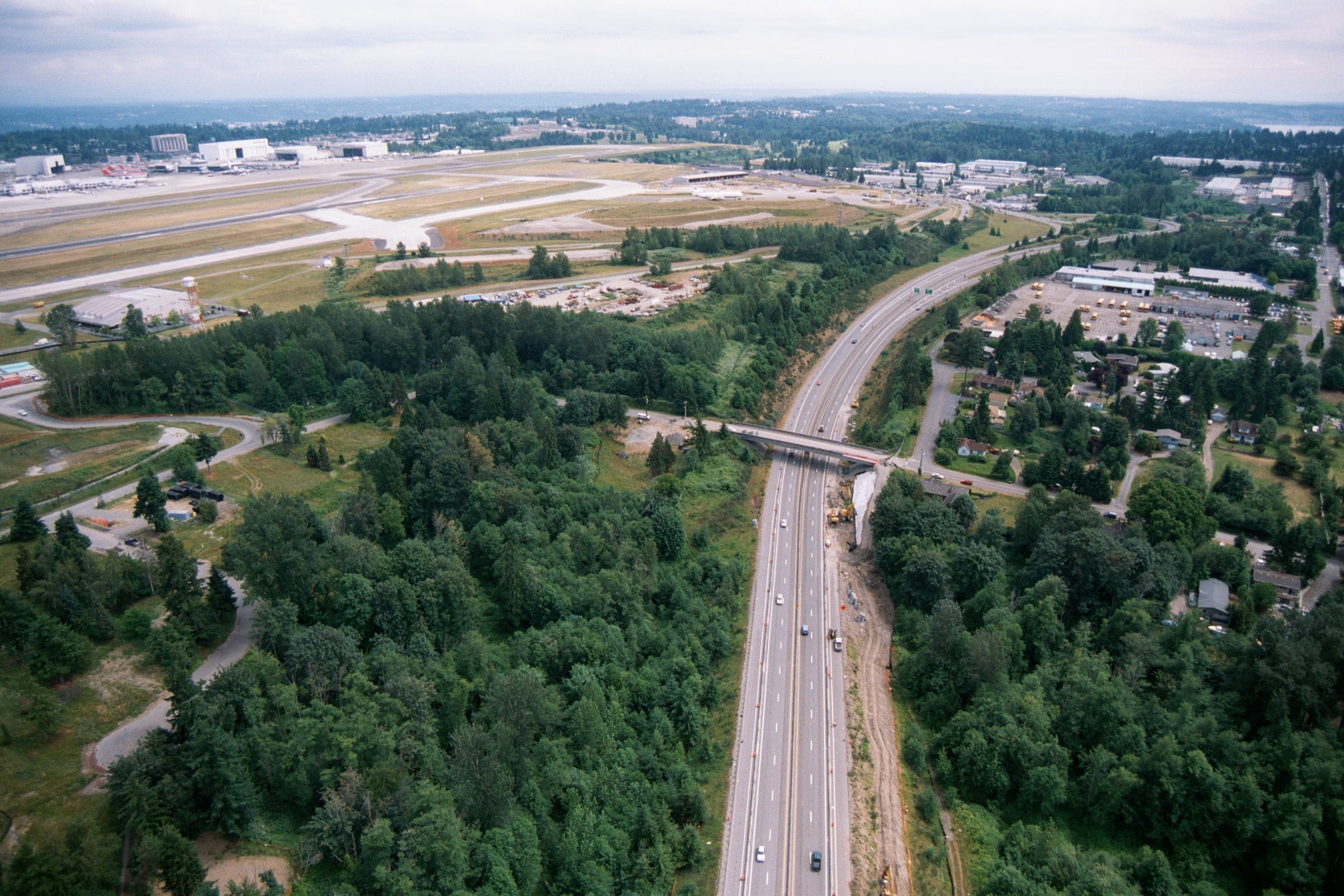
Aerial View of Highway Construction Near Sea-Tac Airport
Aerial photograph showing a multi-lane highway running north-south through a forested area, with active construction and heavy equipment visible alongside the roadway. In the background, an airport airfield with runways and large industrial/hangar buildings is visible to the upper left, consistent with the Sea-Tac Airport vicinity. -
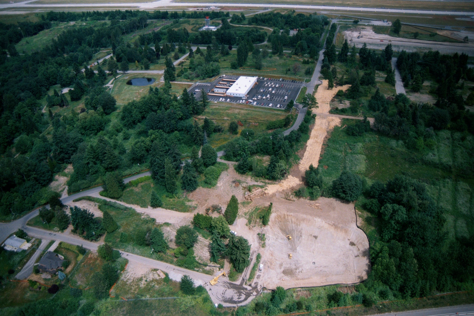 2001-06-22
Aerial View of Ground Clearing and Grading Operations Near Sea-Tac Airport
Aerial photograph showing active ground clearing and grading operations on a large parcel of land near what appears to be Sea-Tac Airport, visible in the upper background. Construction equipment and disturbed earth are visible alongside existing commercial development with a parking lot, surrounded by dense Pacific Northwest vegetation and residential streets. -
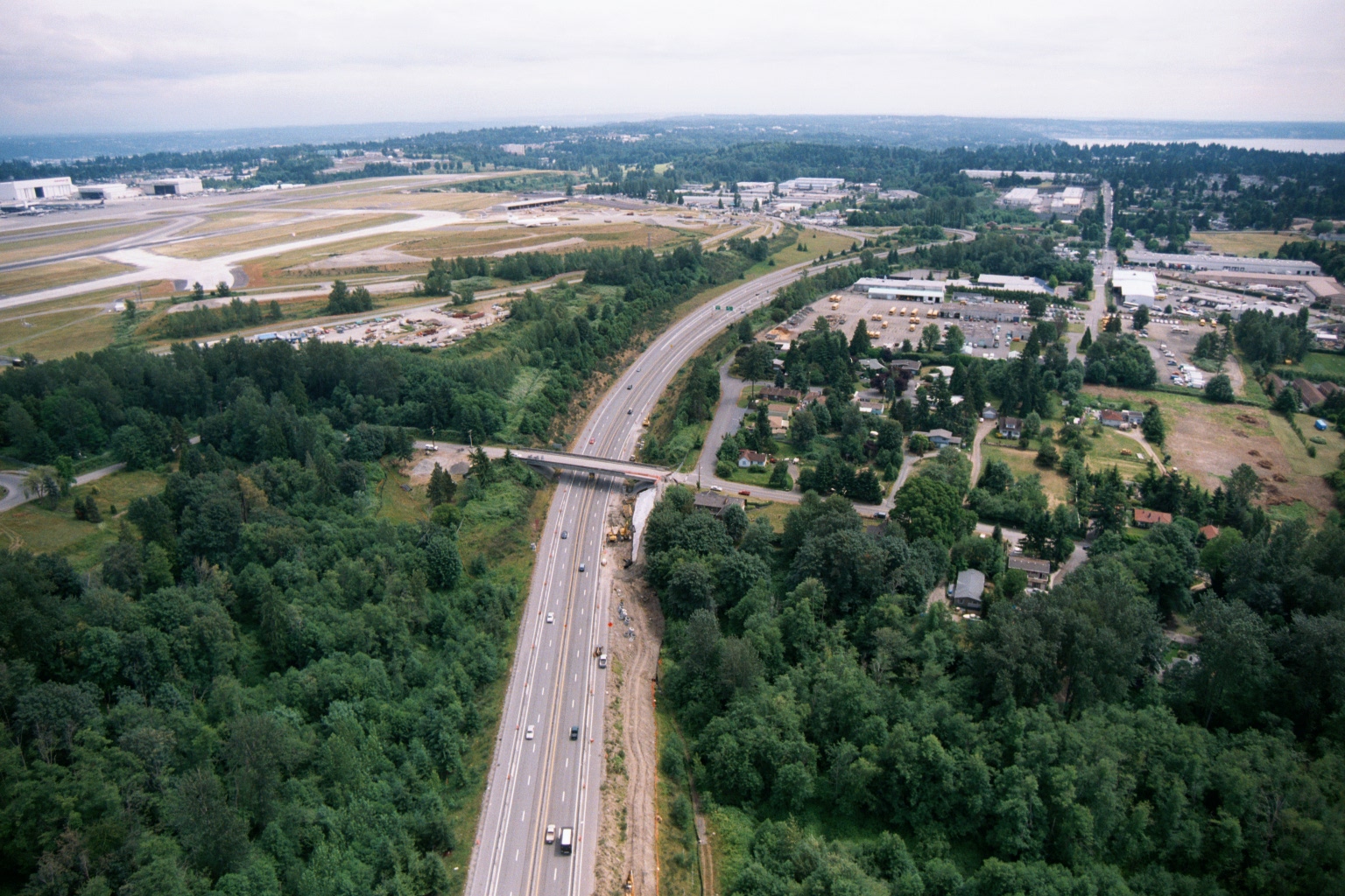 2001-06-22
Aerial View of Highway Corridor and Construction Near Sea-Tac Airport
Aerial photograph showing a multi-lane highway (likely SR-509 or I-5) running through a forested corridor alongside Seattle-Tacoma International Airport, visible at upper left with runways and large aircraft hangars. Construction activity and equipment are visible along the highway median and near an overpass, suggesting road expansion or infrastructure work underway. -
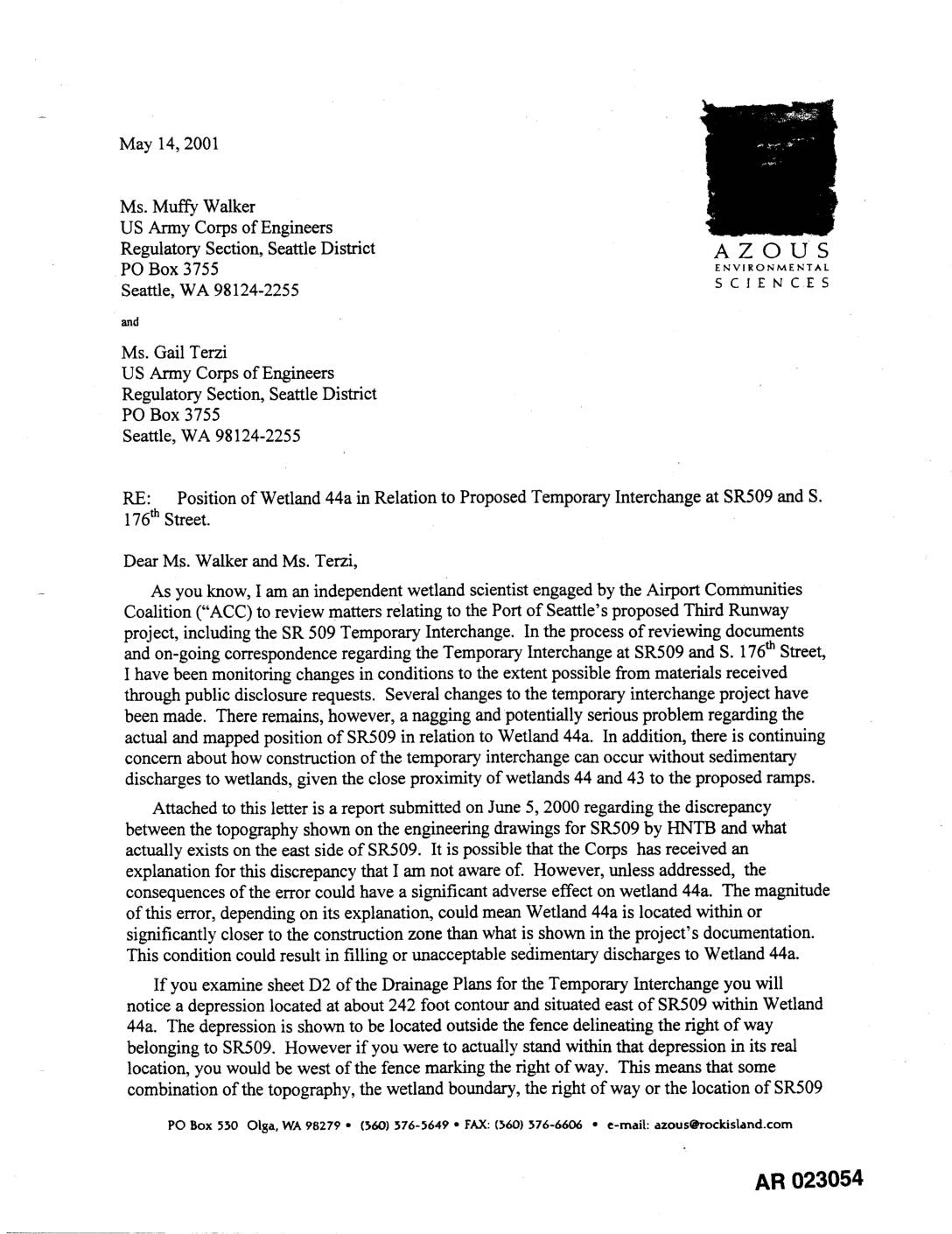 2001-05-14
EXH AR023054: ACC Wetland Scientist Letter to Army Corps – Wetland 44a & SR509 Temp Interchange
An independent wetland scientist, writing on behalf of the Airport Communities Coalition, raised concerns with the US Army Corps of Engineers about potential mapping errors affecting Wetland 44a near the proposed SR509 Temporary Interchange for Sea-Tac Airport's Third Runway project. The letter warned that discrepancies between engineering drawings and actual field conditions could mean the wetland was closer to the construction zone than documented, risking illegal filling or sediment discharge into protected wetlands. The scientist urged the Corps to verify the wetland's true location and review erosion control measures before approving any construction permits. -
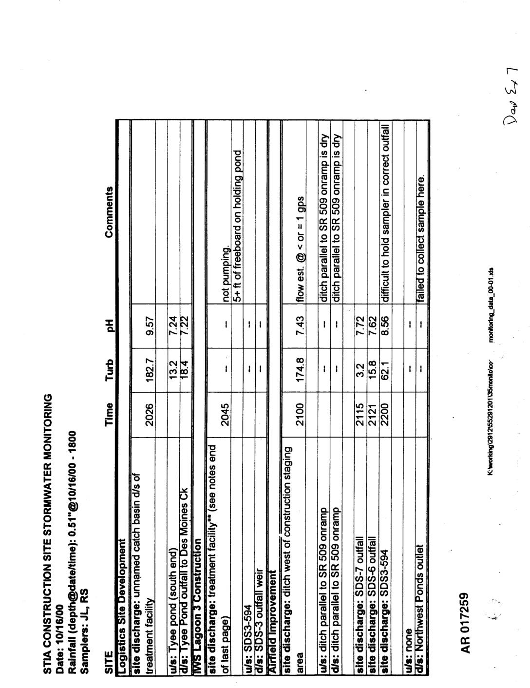 2000-10-20
EXH AR017259: STIA Construction Site Stormwater Monitoring Reports, 10/16/2000 and 10/20/2000
STIA Construction Site Stormwater Monitoring reports dated 10/16/2000 and 10/20/2000, samplers JL/RS and JB/RS. AR017259–AR017261. Documents turbidity and pH measurements at multiple construction sites including Logistics Site Development (unnamed catch basin, Tyee Pond, IWS Lagoon 3), MWS Lagoon 3 Construction treatment facility, Airfield Improvement (construction staging area, SDS-7, SDS-6, SDS3-594), Dobbs Flight Kitchen Remodel (SDE4-611, -
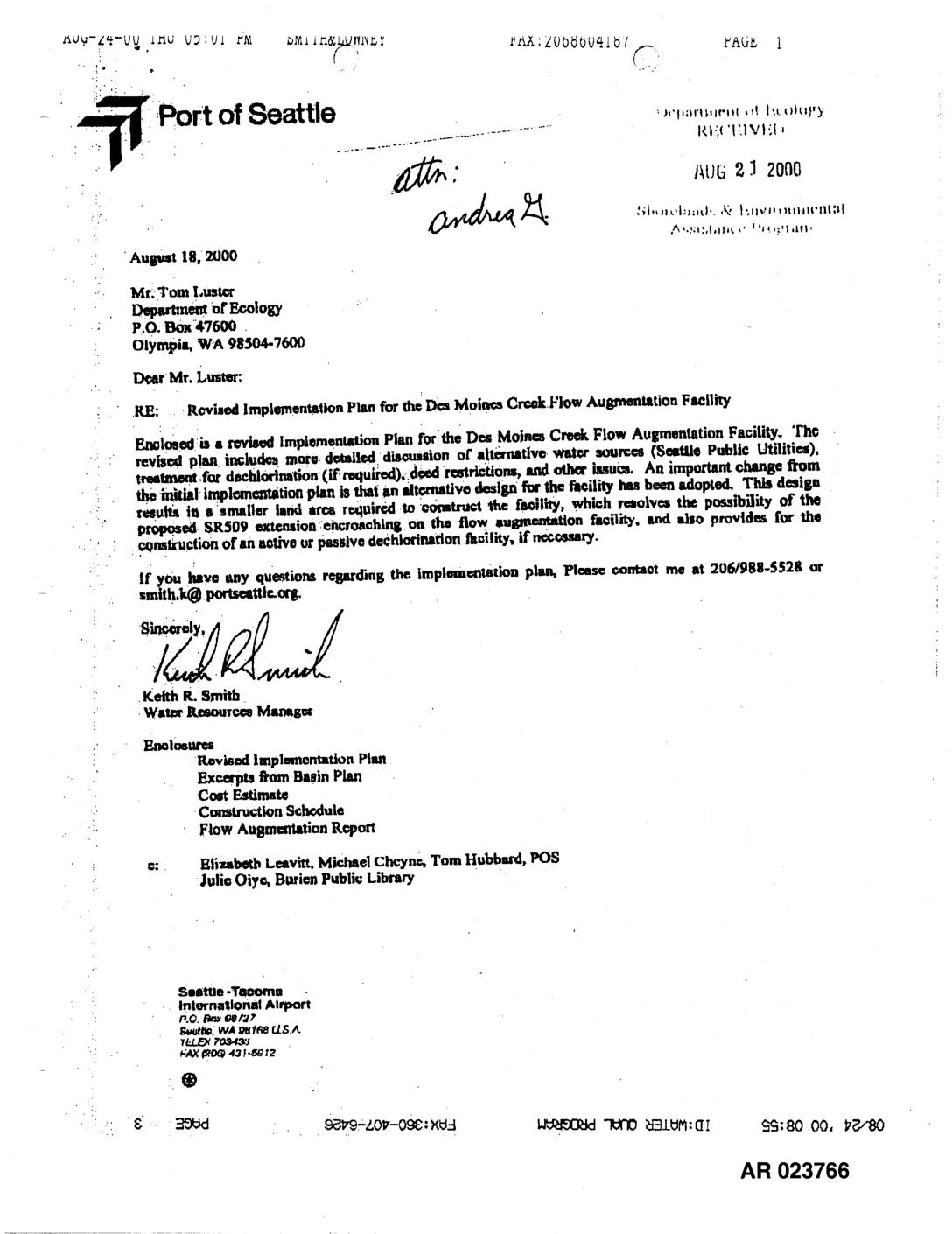 2000-08-18
EXH AR023766: Revised Flow Augmentation Implementation Plan Des Moines Creek
In August 2000, the Port of Seattle submitted a revised implementation plan to the Washington Department of Ecology for a flow augmentation facility on Des Moines Creek, near Seattle-Tacoma International Airport. The plan outlines two potential water sources — a Port-owned well used to irrigate the Tyce Valley Golf Course, or water purchased from Seattle Public Utilities — along with details on pipeline construction, dechlorination treatment options, and pump configurations. Construction of the facility was scheduled to begin in June 2002, with the well preferred as the lower-cost option pending resolution of water rights issues. -
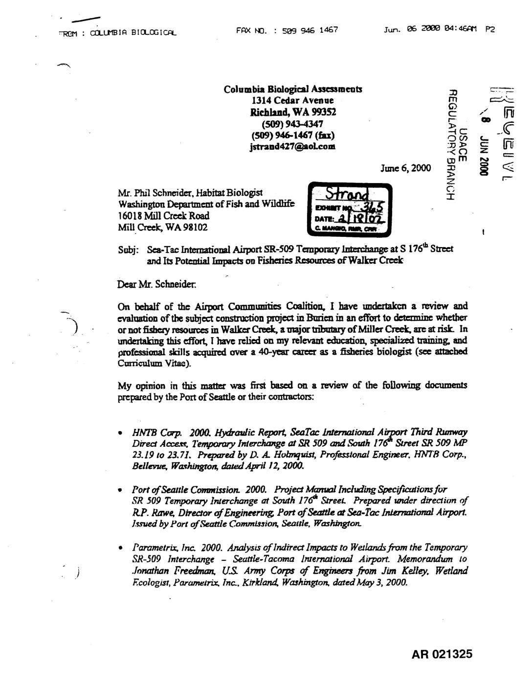 2000-06-06
EXH AR021325: Columbia Biological Assessments to WDFW — SR-509 Temp Interchange Fisheries Impacts S 176th St
A fisheries biologist hired by the Airport Communities Coalition assessed the potential environmental impacts of a temporary SR-509 interchange construction project near Seattle-Tacoma International Airport, concluding that the project posed serious risks to fish and wetland resources in Walker Creek. The report found that proposed erosion control measures, such as silt fences and whattles, were grossly inadequate given the steep terrain (slopes of 40–60%) adjacent to Wetlands 43 and 44, and that sediment-laden stormwater runoff containing metals and polycyclic aromatic hydrocarbons would likely reach these sensitive areas. The biologist also criticized the Port of Seattle and its contractor, Parametrix, Inc., for failing to conduct fish species inventories and for providing little documentation to support their claim that no significant wetland impacts would occur.