TagSR509(120)
-
 2001-06-22
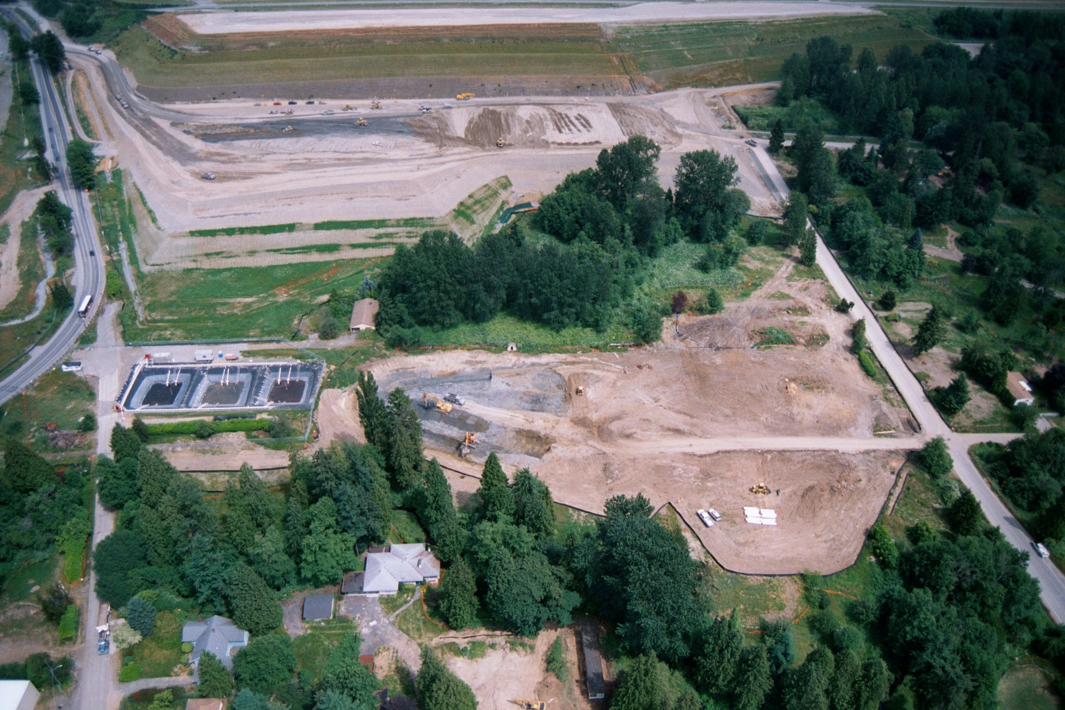
Aerial View of Earthwork and Stormwater Basin Construction Near Sea-Tac Airport Runways
Aerial photograph showing large-scale earthwork and grading activity adjacent to airport runways, with what appears to be a stormwater detention or treatment facility (rectangular basin) under construction in the foreground. Construction equipment is visible across the graded area, and the site borders a wooded residential neighborhood and a road intersection. -
 2001-06-22
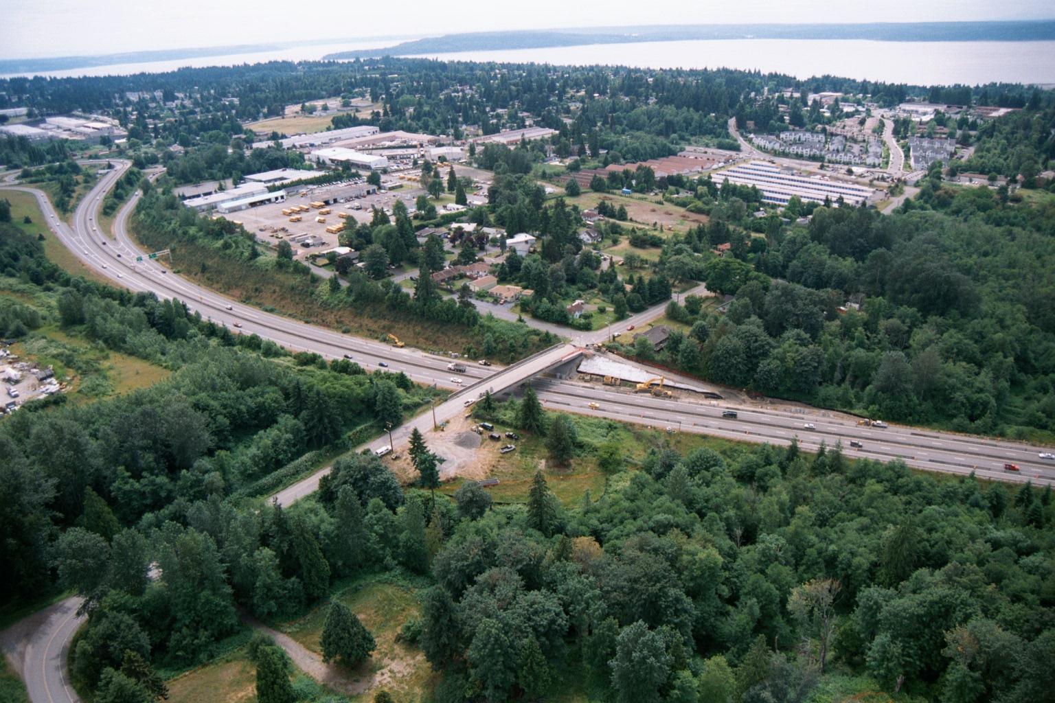
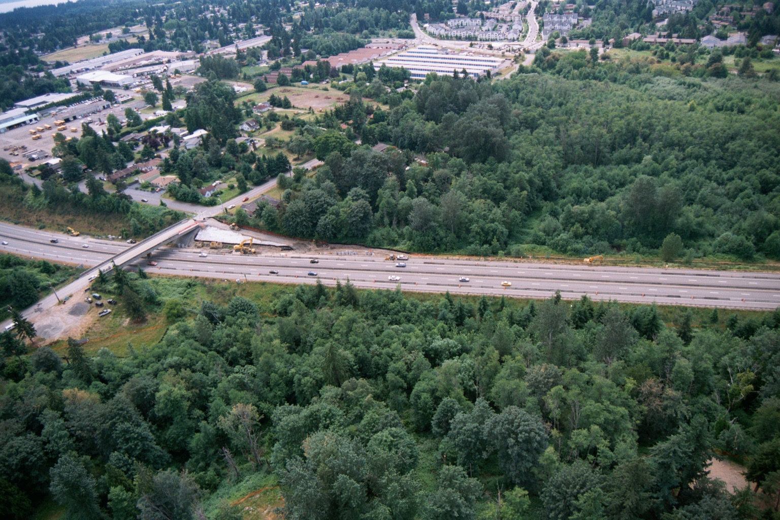
Aerial View of Highway Overpass Construction Near Puget Sound
Aerial photograph showing a multi-lane highway with an overpass bridge under active construction, surrounded by suburban development including what appears to be a school bus depot or transit facility. A body of water is visible in the far background, consistent with the Puget Sound region of Washington State. -
 2001-06-22
Aerial View of Large-Scale Earthmoving and Grading Operations Near Residential Properties
Aerial photograph showing large-scale earthmoving and grading operations on an expansive cleared site, with what appears to be sedimentation or detention basins visible at left, heavy equipment in operation, and residential properties and tree lines bordering the construction zone. A highway or arterial road runs along the left edge of the frame. -
-
 2001-06-22
Aerial Photograph of SR-509 Corridor
-
-
 2001-06-22
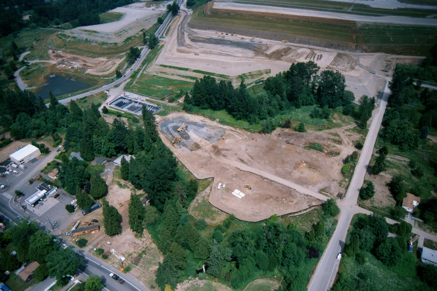
Aerial View of Ground Clearing and Grading Operations Near Sea-Tac Airport Runway
Aerial photograph showing large-scale ground clearing and grading operations adjacent to what appears to be an airport runway or taxiway area in the upper portion of the frame. A residential neighborhood, road intersection, and what may be a water treatment or detention facility are visible in the foreground, with heavy construction equipment scattered across the disturbed soil areas. -
 2001-06-22
Aerial Photograph of SR-509 Corridor
-
 2001-06-22
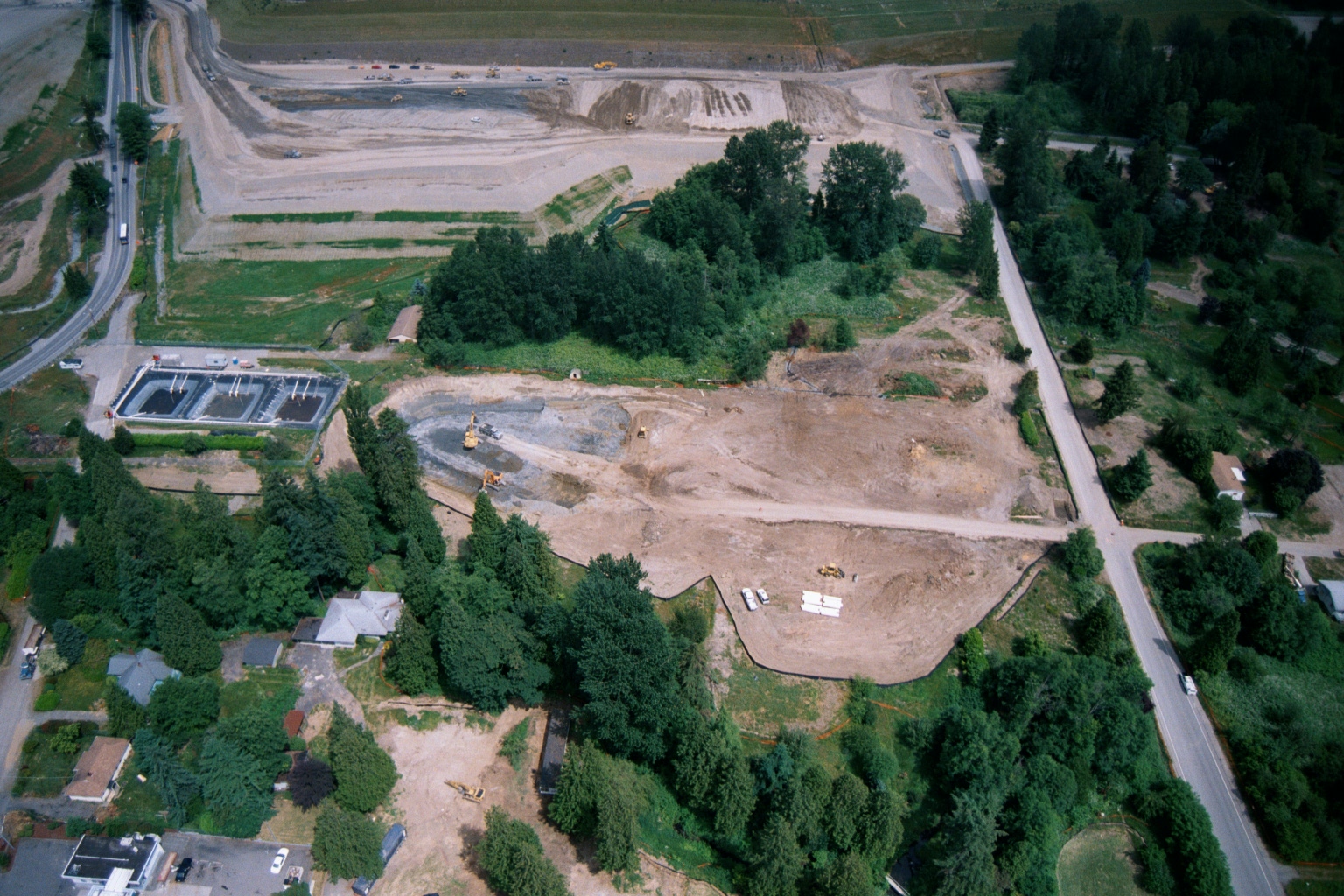
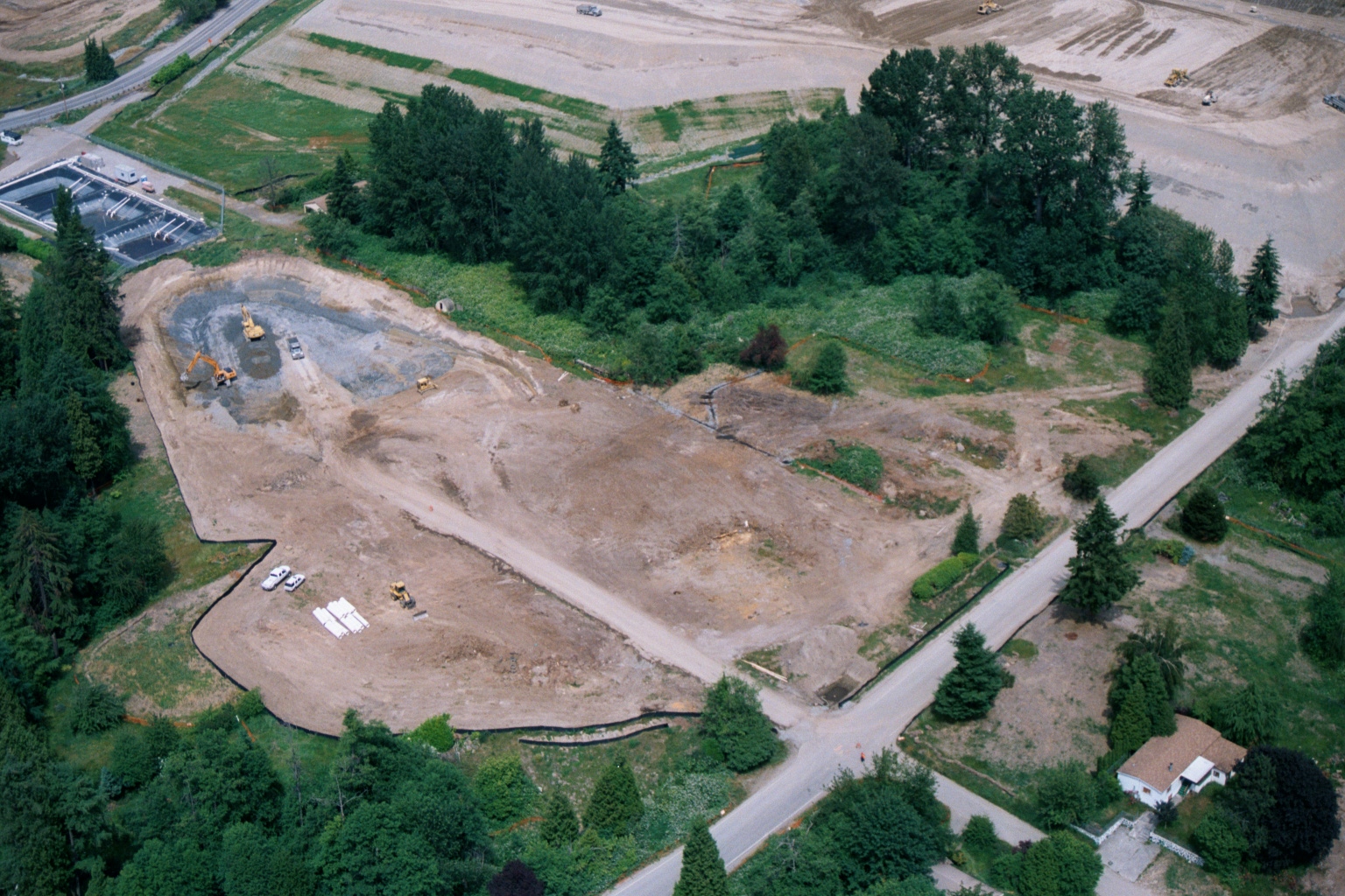
Aerial View of Cleared Construction Site With Earthmoving Equipment
An aerial photograph shows a large cleared construction site with active earthmoving equipment including excavators and bulldozers. The site is surrounded by evergreen trees, with what appears to be a water treatment facility visible in the upper left and a residential property in the lower right corner. -
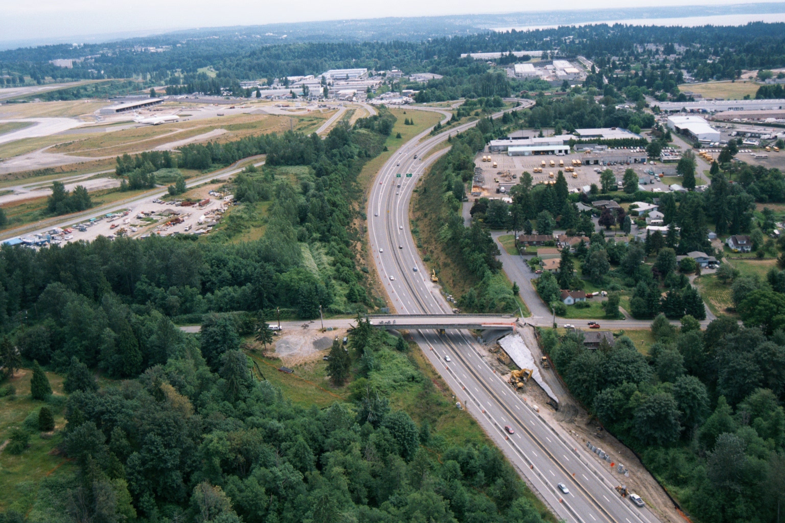 2001-06-22
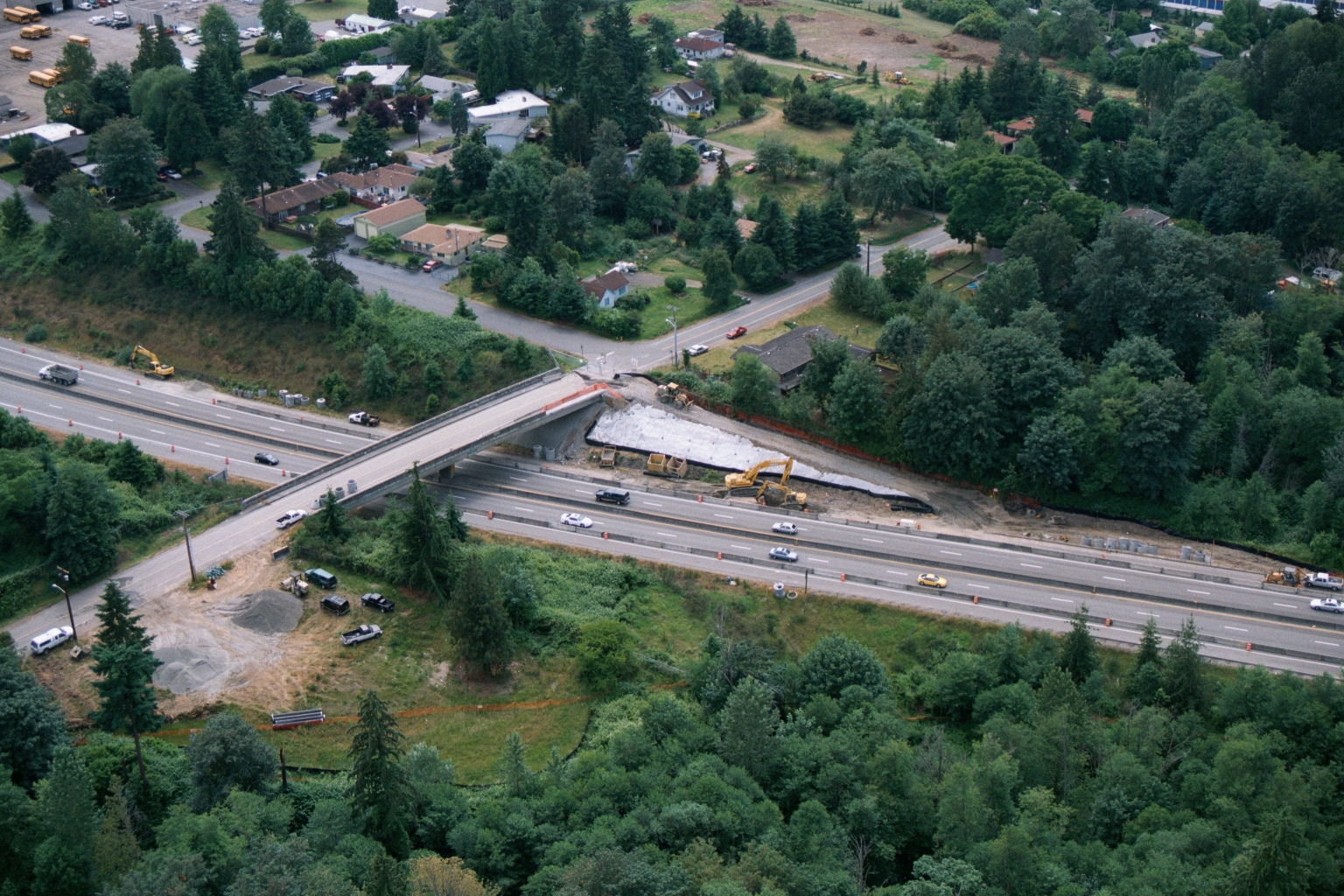
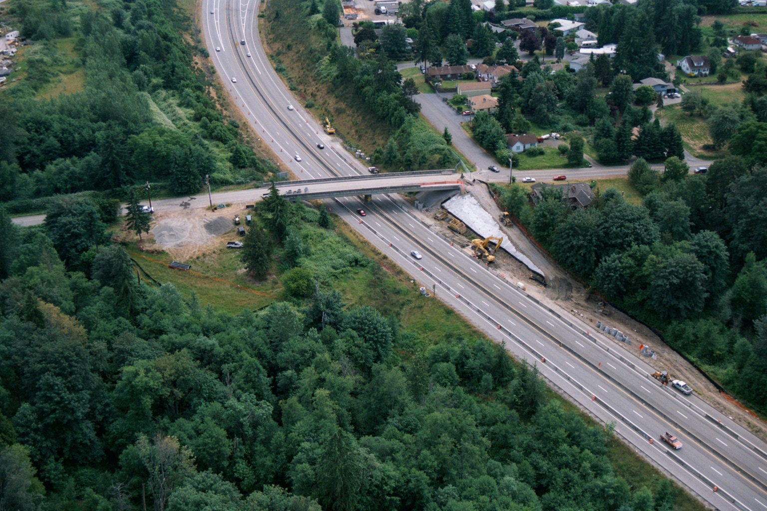
Aerial View of Highway Construction Near Sea-Tac Airport
Aerial photograph showing a multi-lane highway (likely Interstate 5 or SR-518) undergoing construction or widening near what appears to be Seattle-Tacoma International Airport, visible in the upper left with its runways and terminal facilities. A bridge overpass is under construction, with heavy equipment visible alongside the roadway corridor.