TagRunways(144)
-
 2023-06-07
Highline Forum: Are arrivals lower now than they were a couple of years ago?
A Highline Forum presentation examining whether aircraft arrival numbers at Seattle-Tacoma International Airport have decreased compared to a few years earlier. The analysis uses one month of arrival flight track data from June 2013, June 2015, and June 2017 across Sea-Tac's three parallel runways (16L/34R, 16C/34C, and 16R/34L). June was chosen as a representative month because it typically features a balanced mix of north and south flow operations, Instrument Landing System (ILS) and visual approaches, and an average volume of aircraft traffic. -
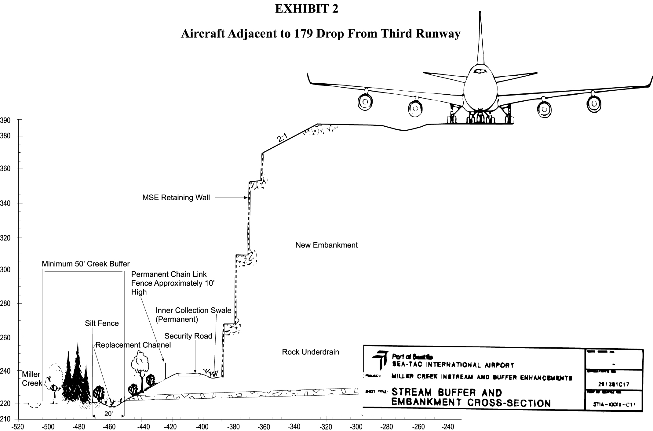
MSE wall cross-section, Miller Creek buffer — Third Runway embankment
Engineering cross-section drawing labeled 'Exhibit 2: Aircraft Adjacent to 179 Drop From Third Runway,' produced by the Port of Seattle / Sea-Tac International Airport for the Miller Creek Instream and Buffer Enhancements project. The drawing (sheet 291Z81C17, detail S11A-XXXI-C11) shows the embankment profile with an MSE retaining wall, replacement channel, silt fence, security road, rock underdrain, and a minimum 50-foot creek buffer for Miller Creek, with elevation and horizontal scales and a wide-body aircraft silhouette for scale reference. -
Aging, unreliable runway safety device leaves U.S. airports vulnerable
By Alan Levin A crucial safety system that’s relied on to avoid potentially fatal collisions at major U.S. airports is aging and plagued by outages that have left travelers unprotected for months at a time. At some airports, it hasn’t ever been installed. The technology — which tracks vehicles on or near runways to alert -
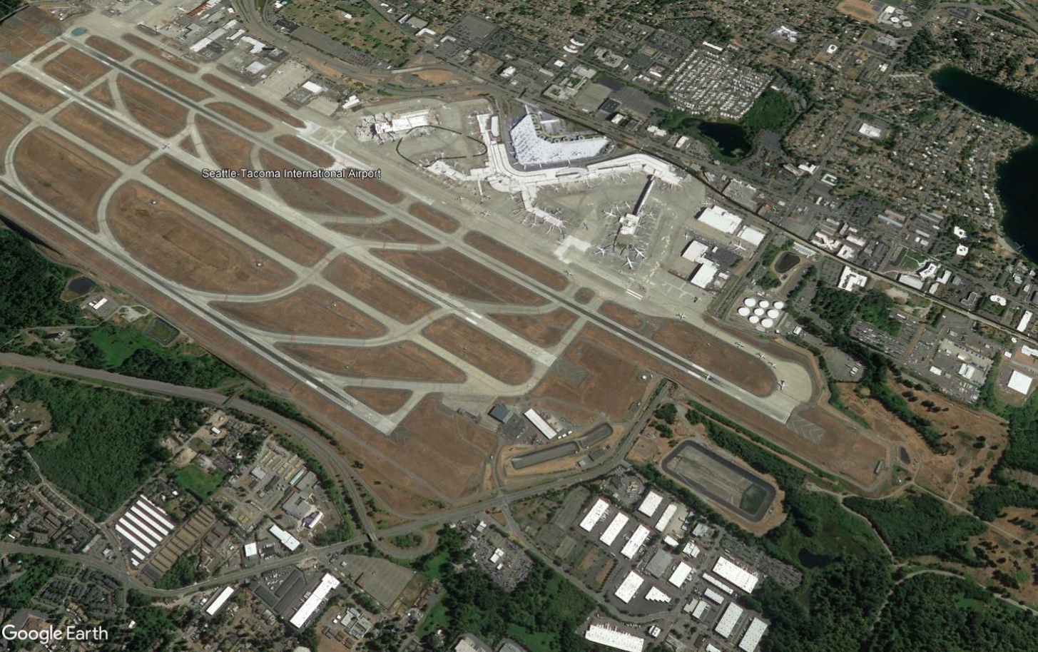
Sea-Tac Airport Satellite Overview — Three Parallel Runways and Terminal Complex
Google Earth satellite image of Seattle-Tacoma International Airport (Sea-Tac), showing the airport's three parallel runway system, terminal complex, concourses, and surrounding communities in SeaTac, Washington. The airport name label and Google Earth watermark are both visible in the image. -
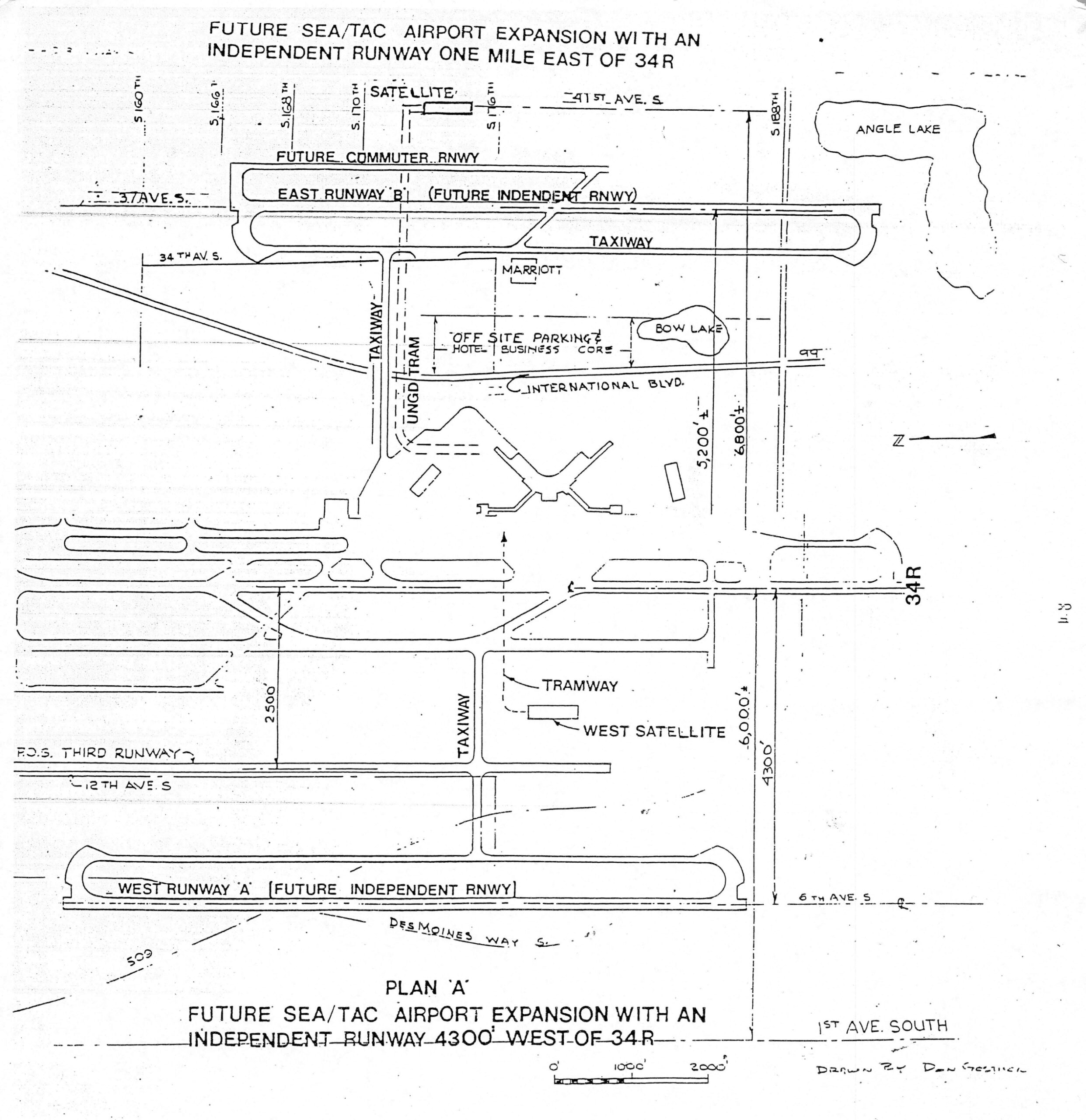
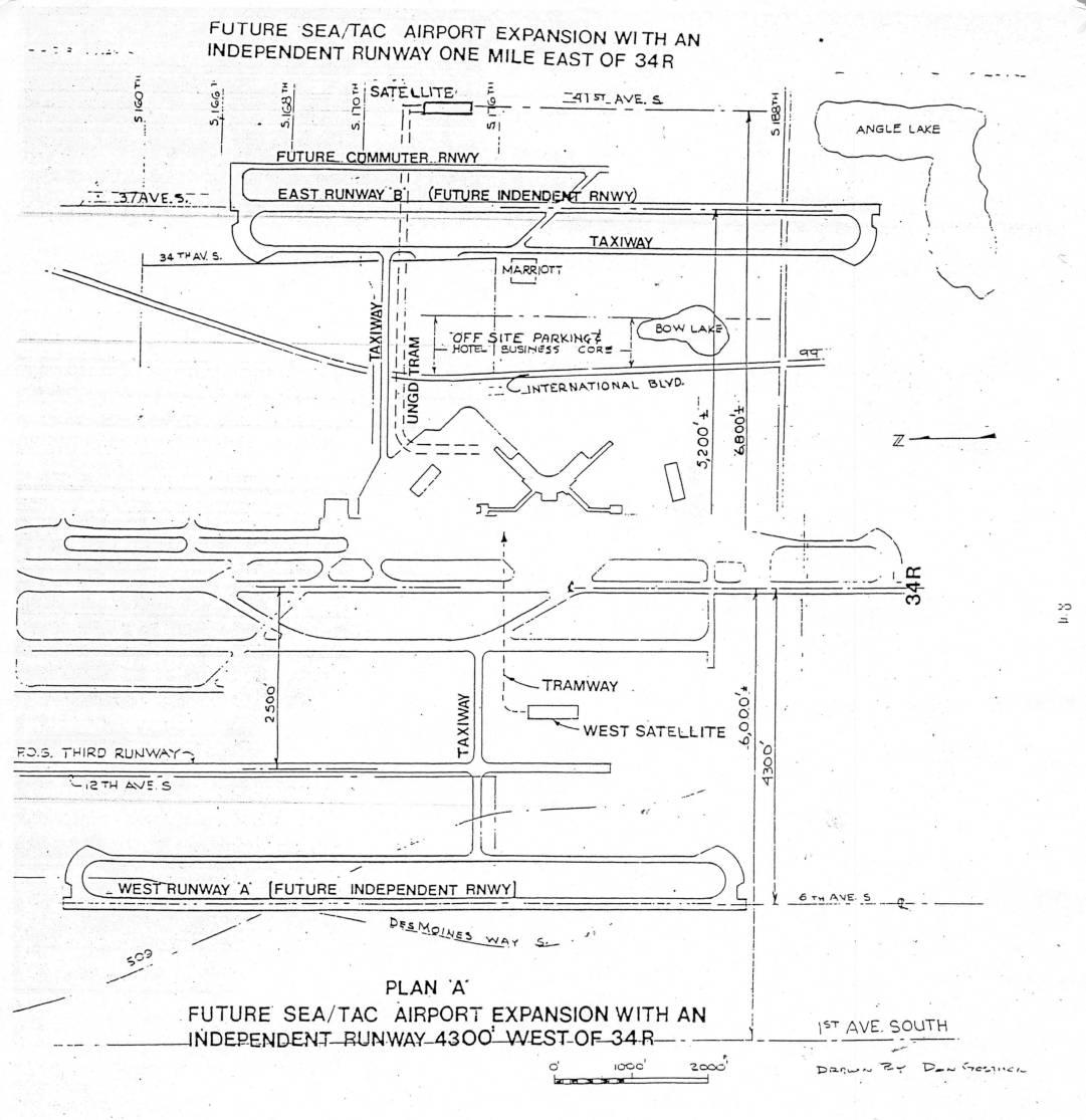
Future Sea-Tac Airport Expansion — Independent Runway Plans East (Runway B, 1 Mile) and West (Runway A, 4,300 ft) of 34R
Architectural/planning drawing titled 'Future Sea/Tac Airport Expansion with an Independent Runway One Mile East of 34R,' showing Plan A layout with an independent runway 4,300 feet west of runway 34R. The drawing, credited to Don Getsick, depicts proposed runways (East Runway B, West Runway A), taxiways, satellite terminals, tramway, underground tram, off-site parking/hotel/business core, and surrounding streets including International Blvd, Des Moines Way S, and 1st Ave South, with Angle Lake and Bow Lake visible. -
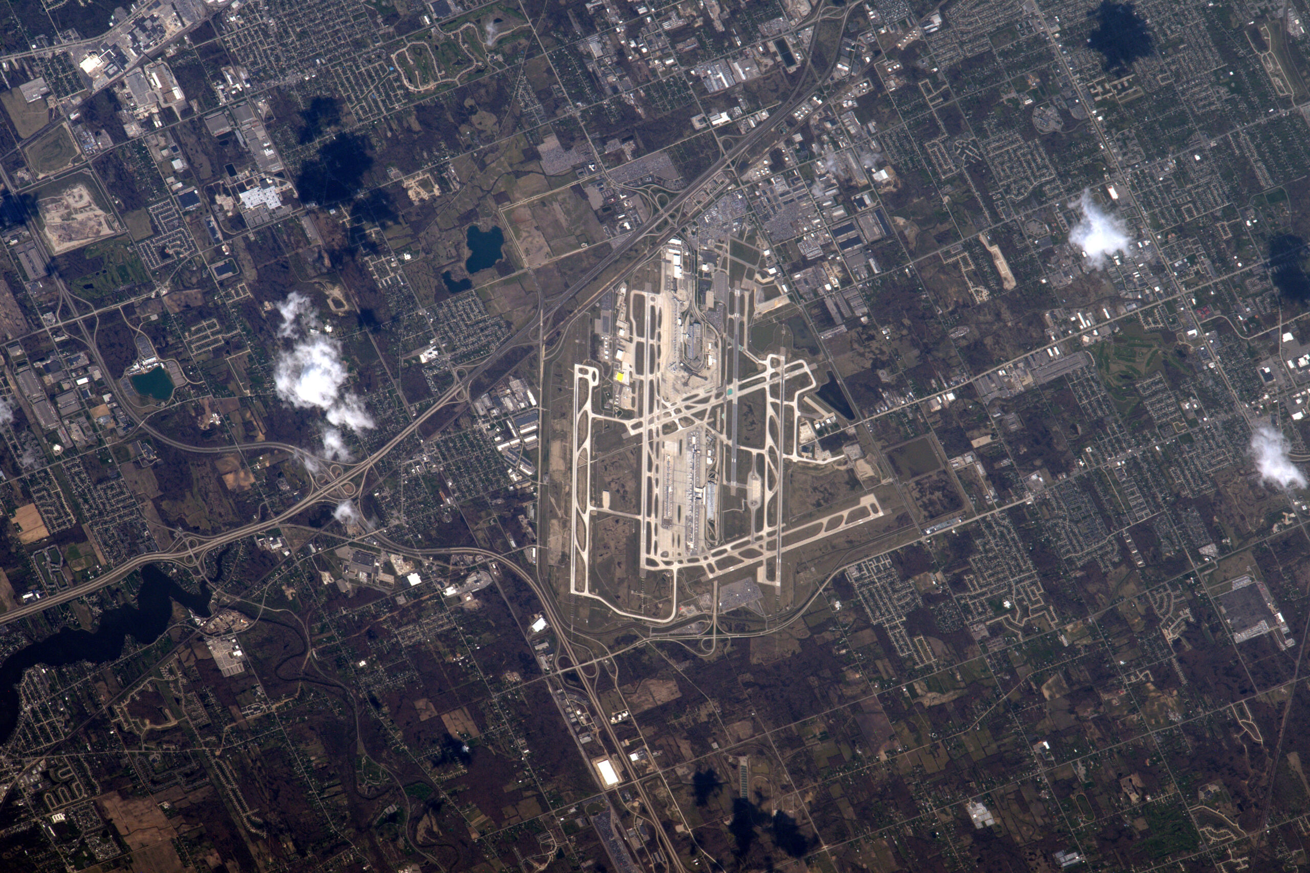
Detroit Metro Airport (DTW)
Overhead aerial photograph showing a large commercial airport with multiple parallel runways, terminal complexes, and taxiway systems embedded within a flat, densely developed suburban landscape. No visible text, watermarks, or captions are present to confirm the specific airport identity, though the runway configuration and surrounding grid pattern are consistent with a major Midwestern U.S. hub airport. -
 2022-12-02
Future Sea-Tac Airport Expansion — Independent Runway Plans East (Runway B, 1 Mile) and West (Runway A, 4,300 ft) of 34R
This document presents two conceptual expansion plans for Seattle-Tacoma (Sea-Tac) Airport, showing proposed future runway configurations including an independent runway located one mile east of runway 34R (Plan A shows an alternative 4,300 feet west of 34R). The drawings detail proposed taxiways, satellite terminals, a future commuter runway, an underground tram system, and associated ground infrastructure such as off-site parking and hotel/business core areas. These plans were likely developed as part of noise and capacity planning studies to evaluate how additional independent runways could affect surrounding communities, including areas near Angle Lake, Bow Lake, and along key corridors such as International Boulevard and Des Moines Way South. -
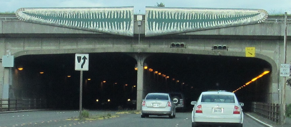
188th Street Overpass 16L-34R extension
Two vehicles approach a divided tunnel entrance featuring a distinctive decorative frieze with a leaf or feather motif along the arch. A route marker sign with an upward arrow is visible, along with orange tunnel lighting extending into the passage. -
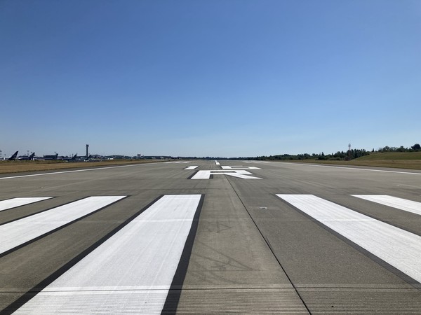
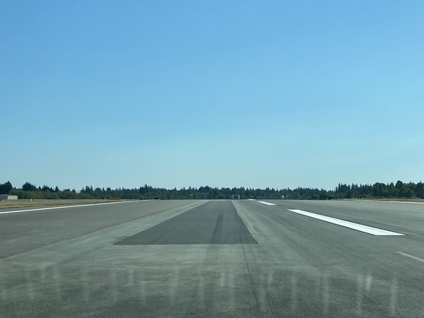
Paine Field Runway Threshold View
A ground-level view looking down an airport runway from the threshold, showing standard white runway markings including threshold stripes and a runway designation number. Airport infrastructure and aircraft are faintly visible in the far background. -