TagRunways(144)
-
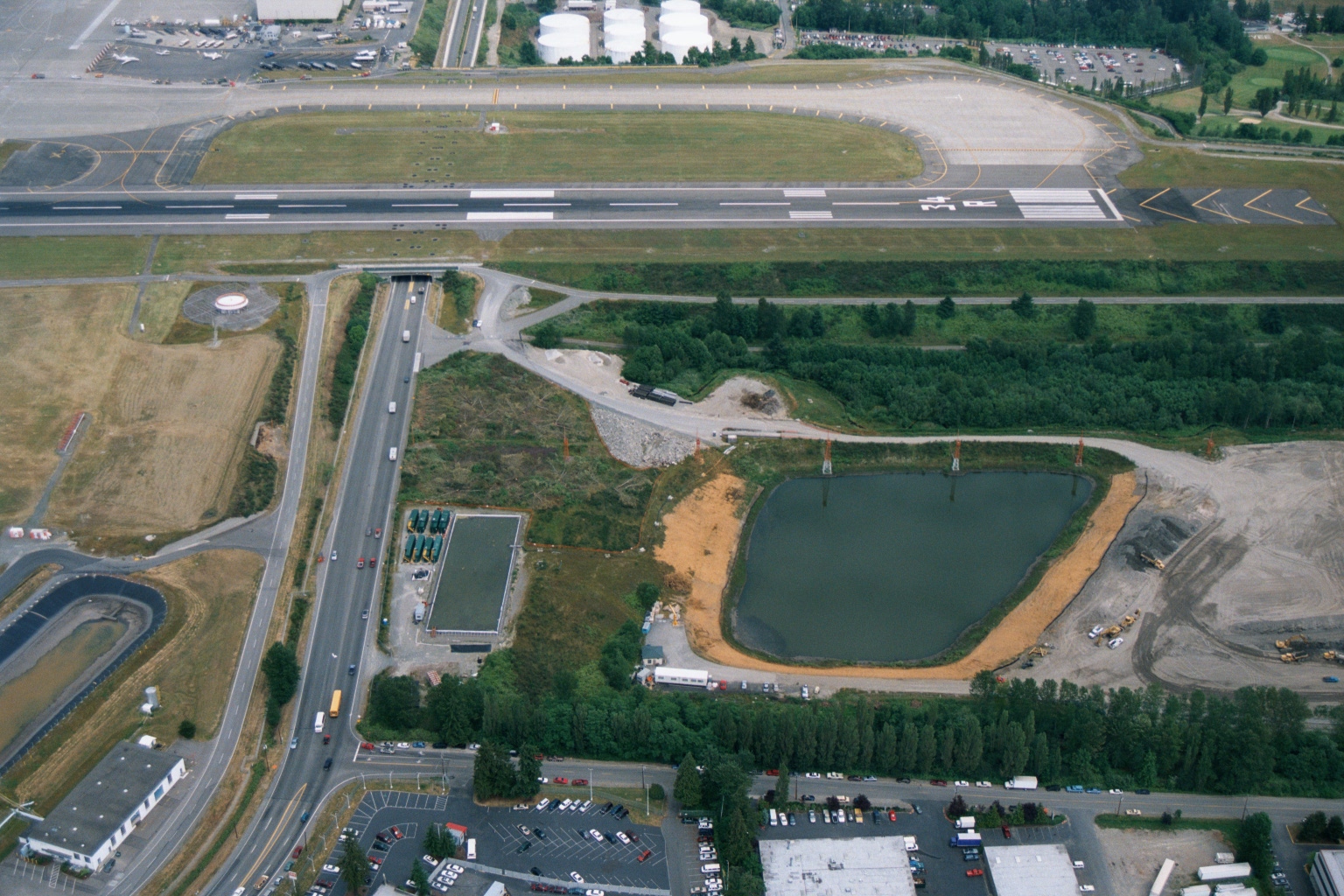 2001-06-22
Sea-Tac Airport Aerial View Showing Runway, Road Tunnel, Retention Pond Under Construction, and Fuel Farm
Aerial photograph showing an airport runway (with visible threshold markings), a road tunnel/underpass passing beneath the airfield, a large retention or sedimentation pond under apparent construction, and surrounding industrial and commercial development. Fuel storage tanks are visible in the upper portion of the image, consistent with airport fuel farm infrastructure. -
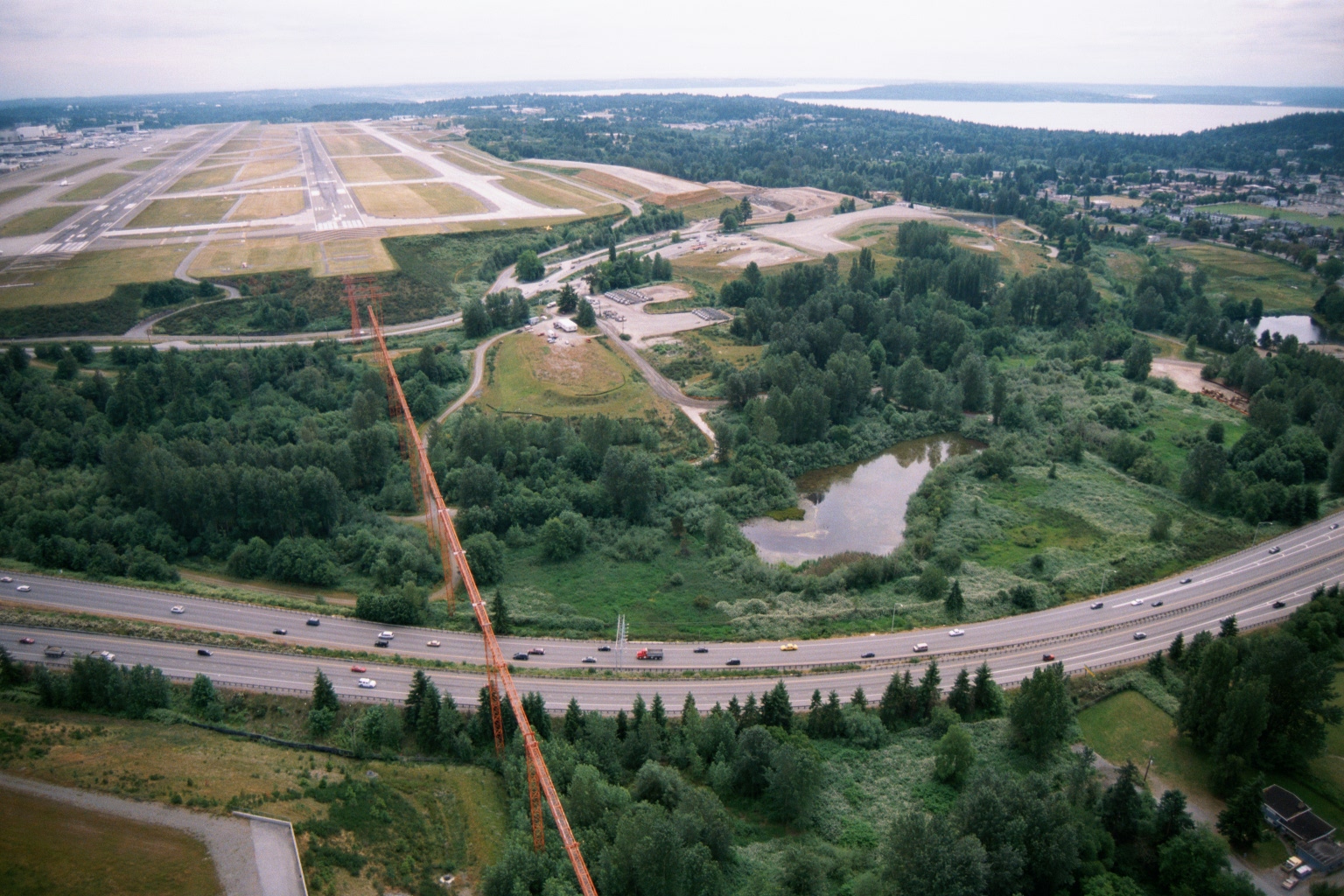 2001-06-22
Aerial View of Sea-Tac Airport Runways and Interstate 5 with Puget Sound on the Horizon
Aerial photograph looking northwest showing Sea-Tac Airport runways and taxiways in the upper left, with Interstate 5 curving through the foreground. A large orange transmission tower or antenna structure is visible in the lower center, and Puget Sound is visible on the horizon to the upper right. -
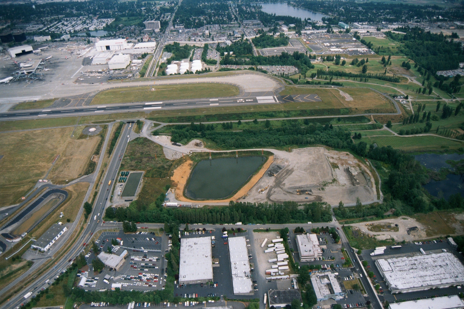 2001-06-22
Sea-Tac Airport Aerial View With Adjacent Construction Site and Retention Pond
Aerial photograph showing a runway and taxiway system consistent with Seattle-Tacoma International Airport, with terminal buildings and aircraft visible in the upper left. The foreground shows an active construction or grading site with a retention pond, adjacent to light industrial warehouses and parking lots. -
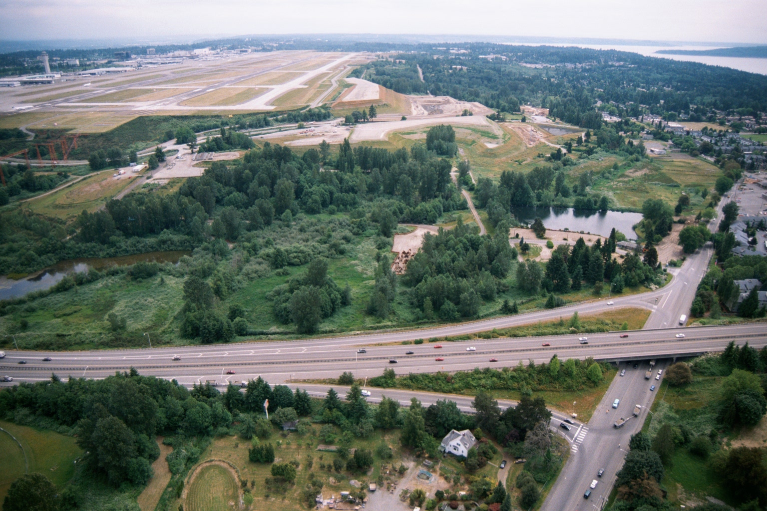 2001-06-22
Aerial View of Sea-Tac Airport Runways, Terminal, and Surrounding Environs
Aerial photograph showing Seattle-Tacoma International Airport runways and terminal in the upper left, with a highway interchange (likely SR-509 or I-5 corridor) in the foreground and Puget Sound visible in the upper right. The image appears to document the airport's environs, including undeveloped green buffer areas and adjacent residential neighborhoods relevant to noise impact studies. -
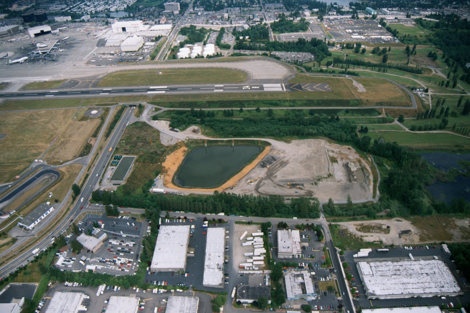 2001-06-22
Sea-Tac Airport Runways with Retention Pond Under Construction and Adjacent Warehouse Buildings
Aerial photograph showing Sea-Tac Airport runways and taxiways in the upper portion of the frame, with a retention/detention pond under construction in the middle ground and commercial/industrial warehouse buildings in the foreground. The image appears to document airport-adjacent land use and stormwater infrastructure, likely relevant to airport expansion or environmental compliance activities. -
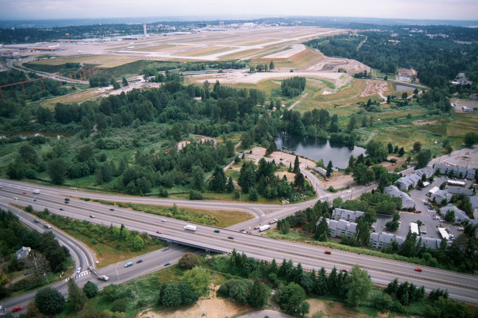 2001-06-22
Aerial View of Sea-Tac Airport Runways with Adjacent Residential Development and Highway Interchange
Aerial photograph showing Sea-Tac Airport runways and taxiways in the background, with a forested noise buffer area, a retention pond, and a multi-lane highway interchange in the foreground. Residential apartment buildings are visible to the right, illustrating the proximity of the airport to surrounding communities relevant to noise-policy planning. -
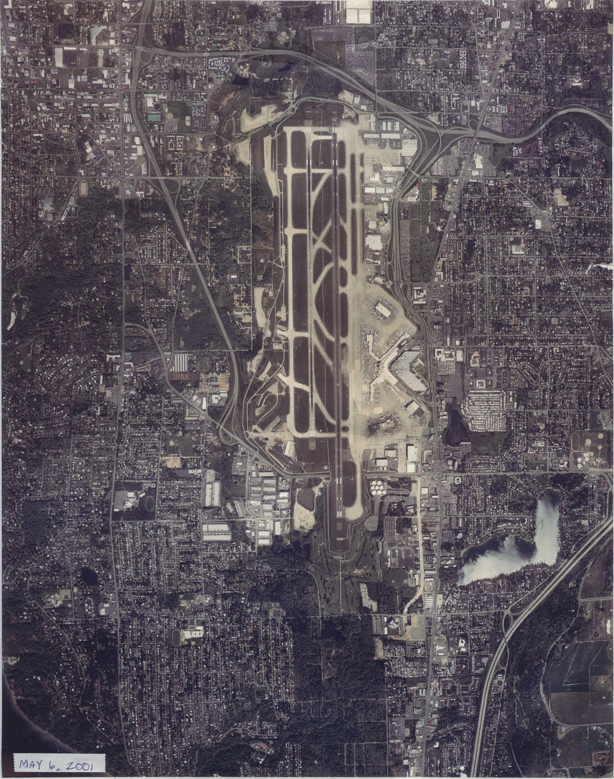 2001-05-06
Sea-Tac Airport Runway Aerial Photograph, May 2001
Overhead aerial photograph of Seattle-Tacoma International Airport (Sea-Tac) and surrounding urban areas, dated May 6, 2001 as noted in the lower-left corner. The image shows the airport's parallel runway configuration, terminal area, taxiways, and the dense residential and commercial development surrounding the facility. -
Walker Aerial Photograph 2001
Aerial photograph of Seattle-Tacoma International Airport and surrounding urban area, dated May 6, 2001, as indicated by the caption in the lower left corner. The image shows the airport's runway complex, taxiways, terminal area, and the dense residential and commercial neighborhoods extending in all directions. -
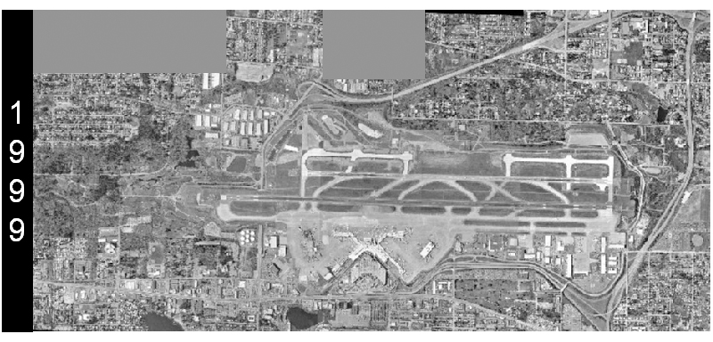 1999-01-01
Sea-Tac Airport Aerial Survey, 1999
A grayscale aerial photograph dated 1999 shows a large commercial airport with multiple parallel runways, taxiways, terminals, and surrounding suburban development. The '1999' watermark is visible on the left side of the image, indicating the year this aerial survey was conducted. -
 1994-09-19
Technical Report No. 6: Airside Options Evaluation — Airport Master Plan Update for Seattle-Tacoma International Airport
This 1994 technical report, prepared by P&D Aviation for the Port of Seattle, evaluates airside development options for Seattle-Tacoma International Airport as part of a broader Airport Master Plan Update. It examines potential improvements to the existing airfield, analyzes options for adding a third runway, and assesses the operational, cost, and environmental implications of each scenario. The findings cover runway length requirements, projected airfield delays, estimated construction costs, and preliminary environmental screening results.