TagRunways(144)
-
 1977-01-01
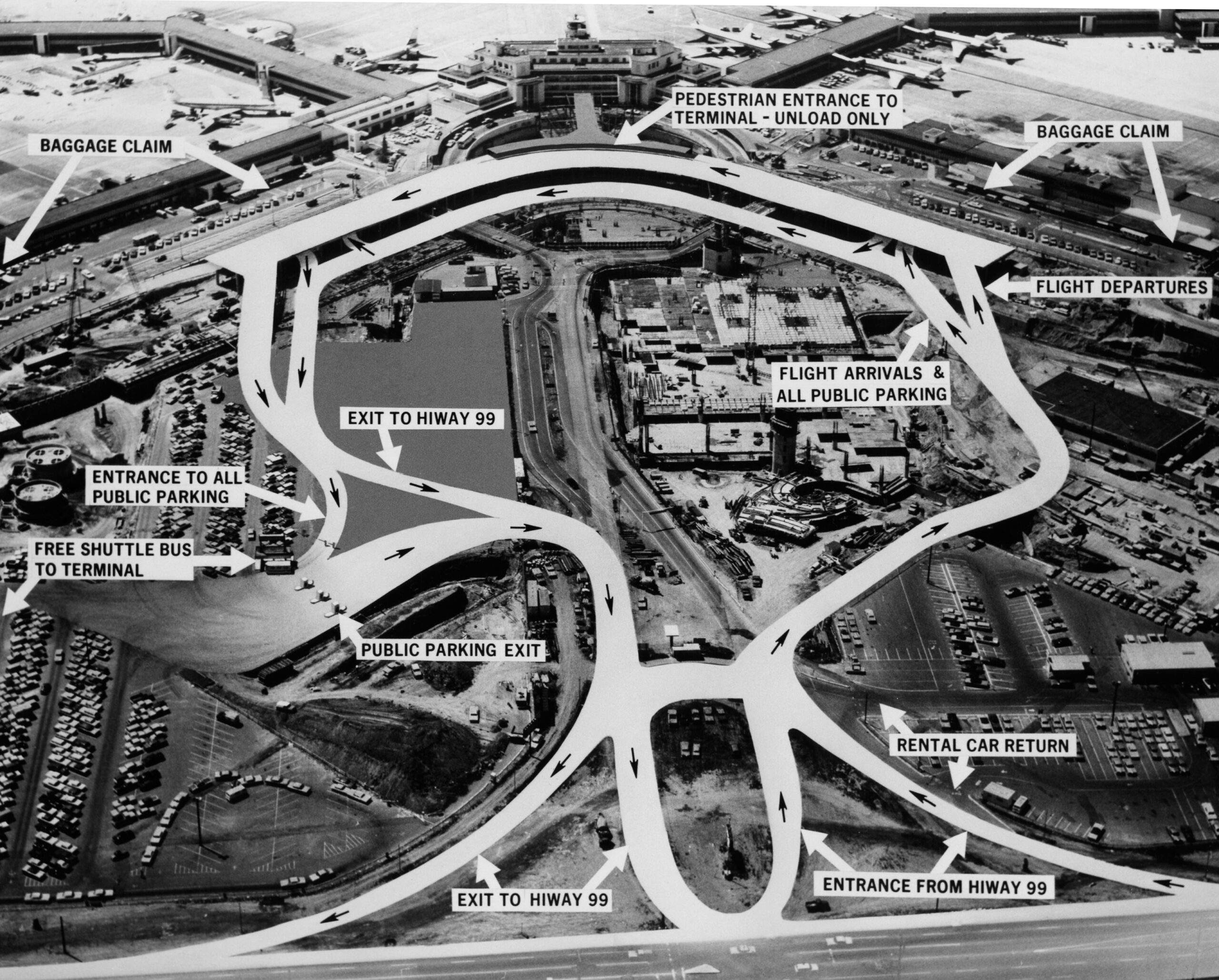
Sea-Tac access road patterns
An annotated aerial photograph of Seattle-Tacoma International Airport showing vehicular traffic flow patterns, with labeled destinations including Baggage Claim, Flight Arrivals, Flight Departures, Rental Car Return, Public Parking entrances and exits, and connections to Highway 99. A free shuttle bus service to the terminal from public parking lots is also indicated. -
 1976-02-06
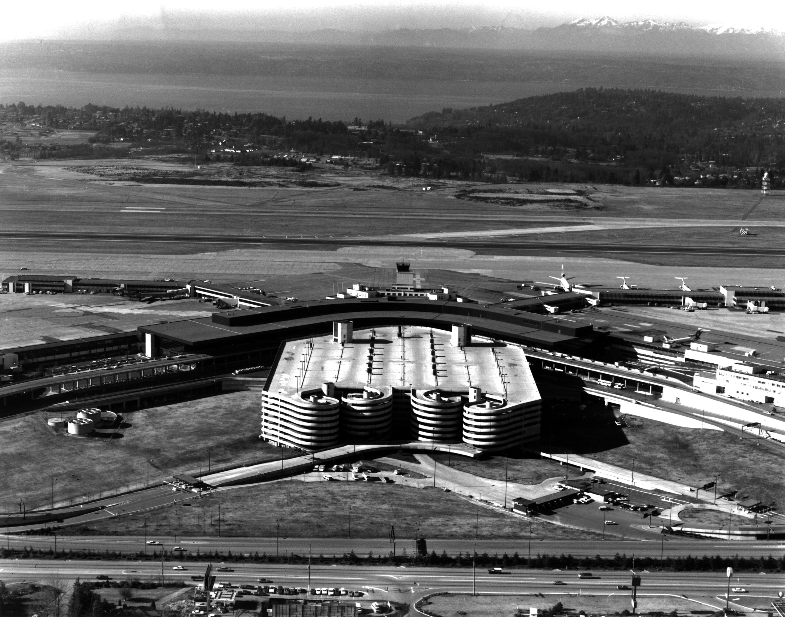
Sea-Tac Aerial
Aerial photograph looking north over Seattle-Tacoma International Airport, showing the main terminal building, satellite concourses with jet aircraft at gates, and the distinctive circular/spiral parking garage structure in the foreground. Puget Sound and the Olympic Mountains are visible in the background, consistent with Sea-Tac's geographic orientation. -
 1974-07-31
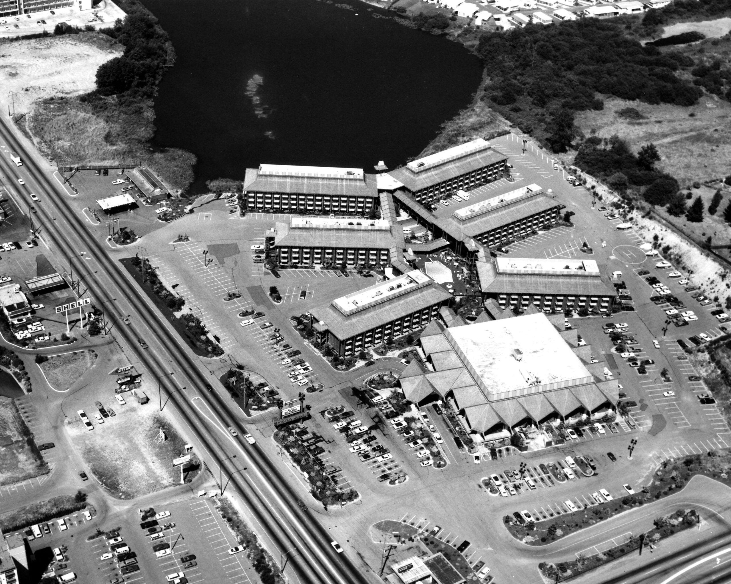
Sea-Tac Motel Aerial
Black-and-white aerial photograph showing a large multi-building hotel or motel complex with extensive parking lots alongside a divided highway. A body of water is visible in the upper portion of the image; a Shell gas station sign is faintly legible on the left side of the road. -
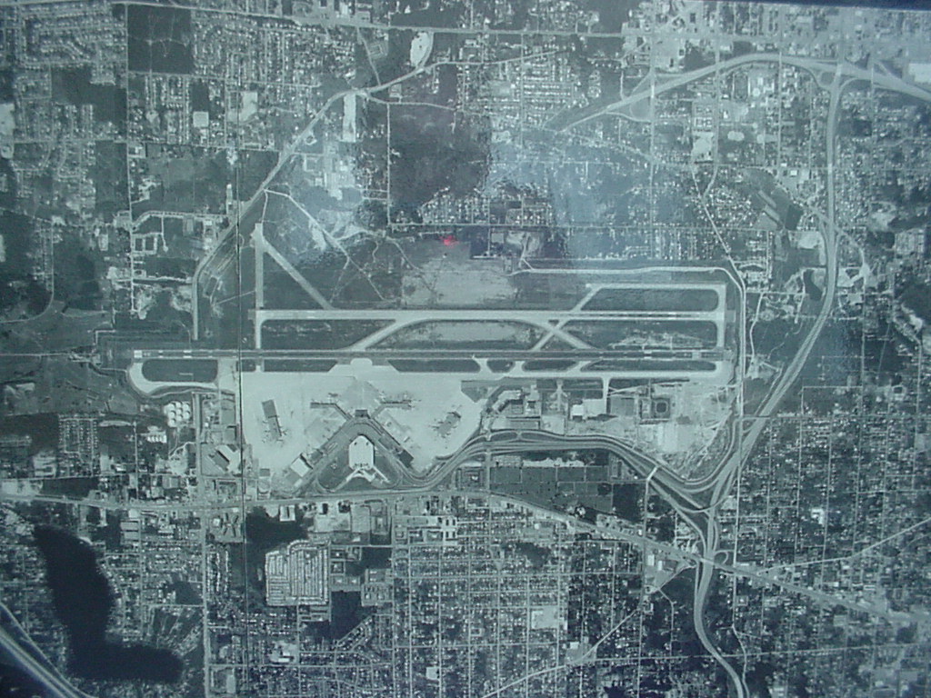 1974-01-01
Sea-Tac Airport Aerial Photograph, 1974
Black-and-white aerial or satellite photograph showing a large commercial airport with multiple parallel runways, terminal buildings, taxiways, and surrounding dense urban development. No visible text, labels, or watermarks are present to confirm the specific airport identity or date. -
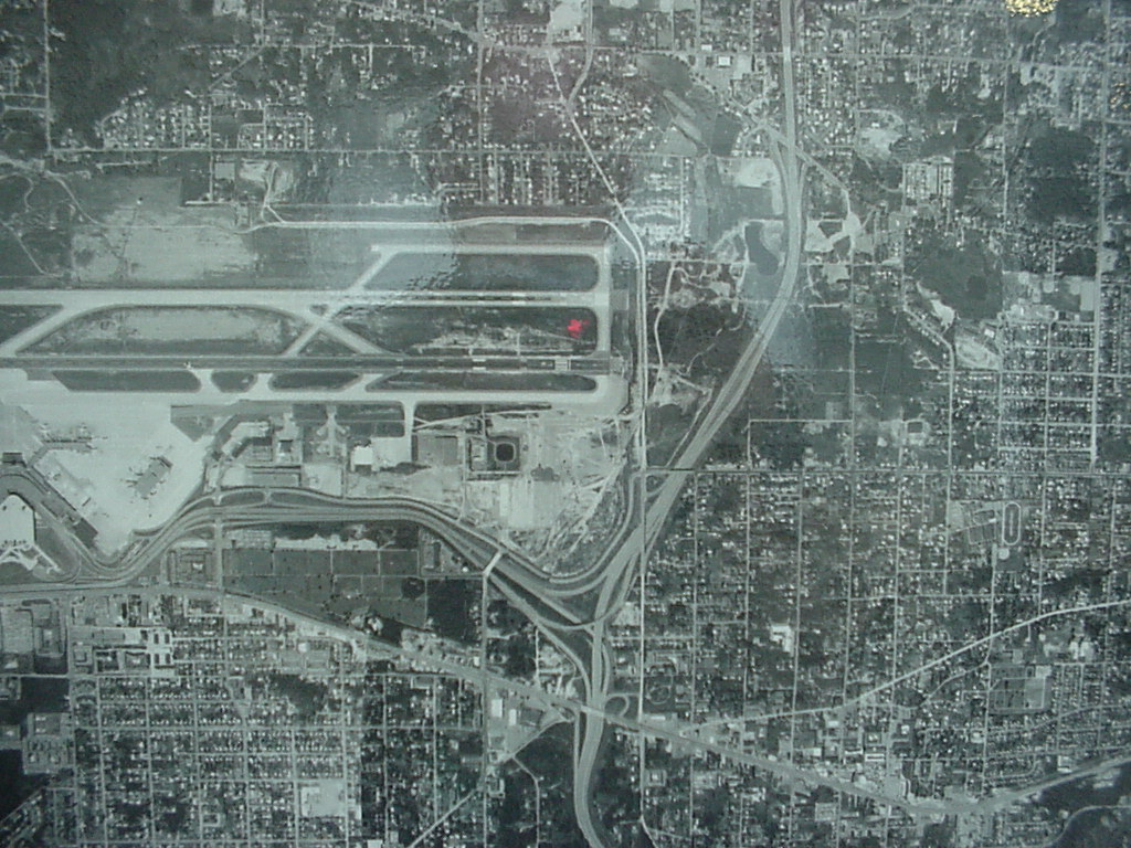 1974-01-01
Sea-Tac Airport Aerial View, 1974
Black-and-white aerial photograph showing a commercial airport with multiple parallel runways, terminal area, and access roadways, surrounded by a dense urban street grid. No visible text, date, or identifying labels are present in the image. -
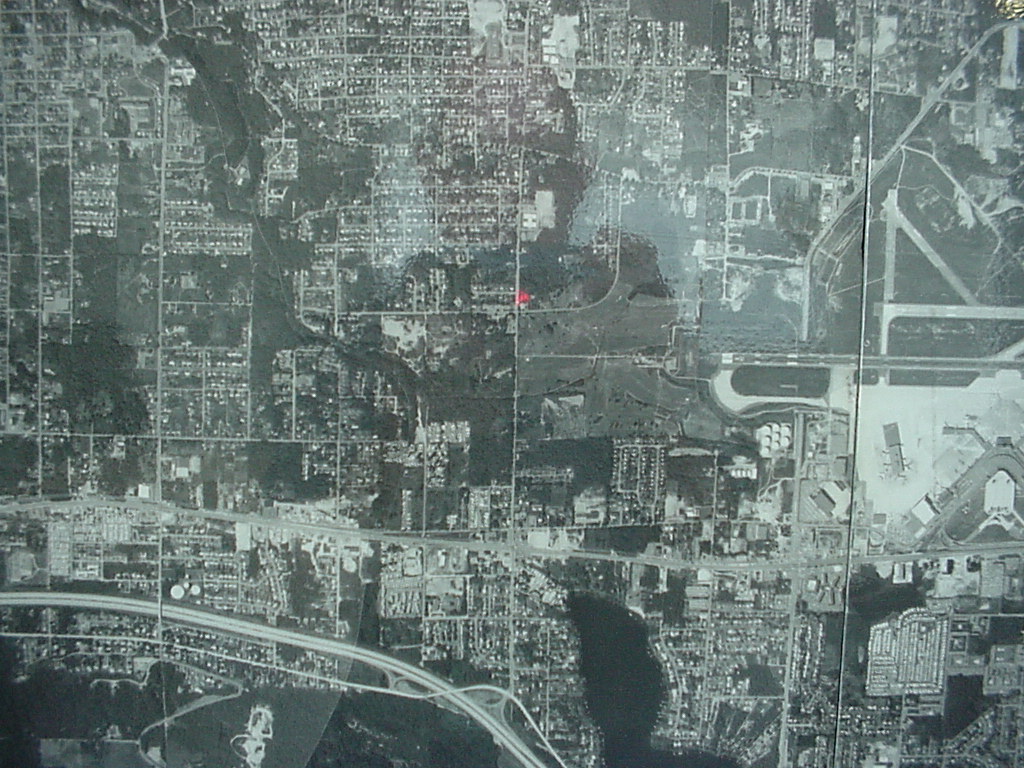 1974-01-01
1974 Aerial Photograph of Sea-Tac Airport and Surrounding Urban Grid
Black-and-white aerial photograph showing a densely developed urban grid with what appears to be an airport facility with runways visible in the upper-right quadrant. A small red marker is visible near the center of the image, possibly indicating a reference point on the map. -
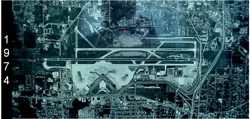 1974-01-01
Sea-Tac Airport Aerial Photograph, 1974
Aerial satellite or reconnaissance photograph of Seattle-Tacoma International Airport (Sea-Tac) dated 1974, showing the parallel runway configuration, terminal complex, and surrounding urban development. The image is labeled with the year 1974 on the left side and appears to be a historical planning or archival document. -
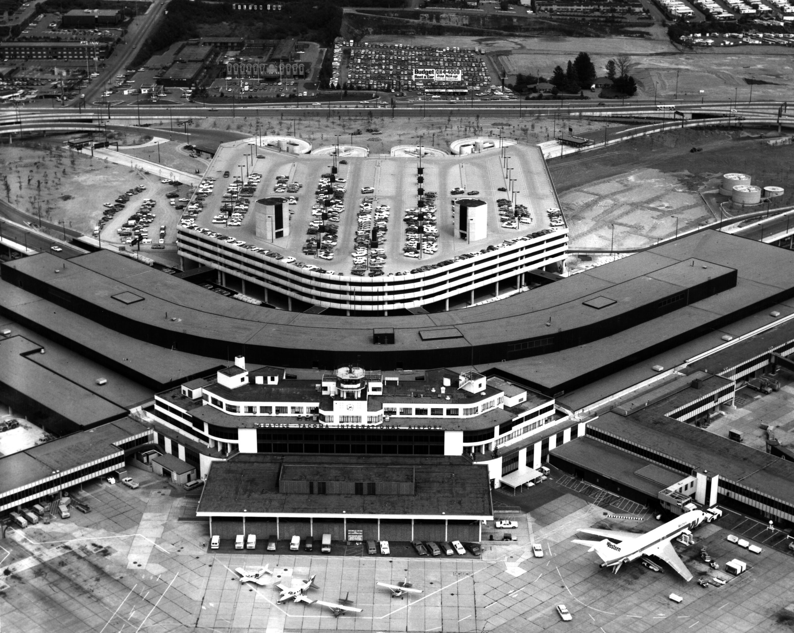 1972-05-24
Sea-Tac Airport Aerial View with Western Airlines Jet at Gate
Aerial photograph of Seattle-Tacoma International Airport showing the main terminal building, multi-level parking garage, and tarmac. A Western Airlines jet is visible at the gate, and a Budget Rent a Car billboard is visible in the background parking area. -
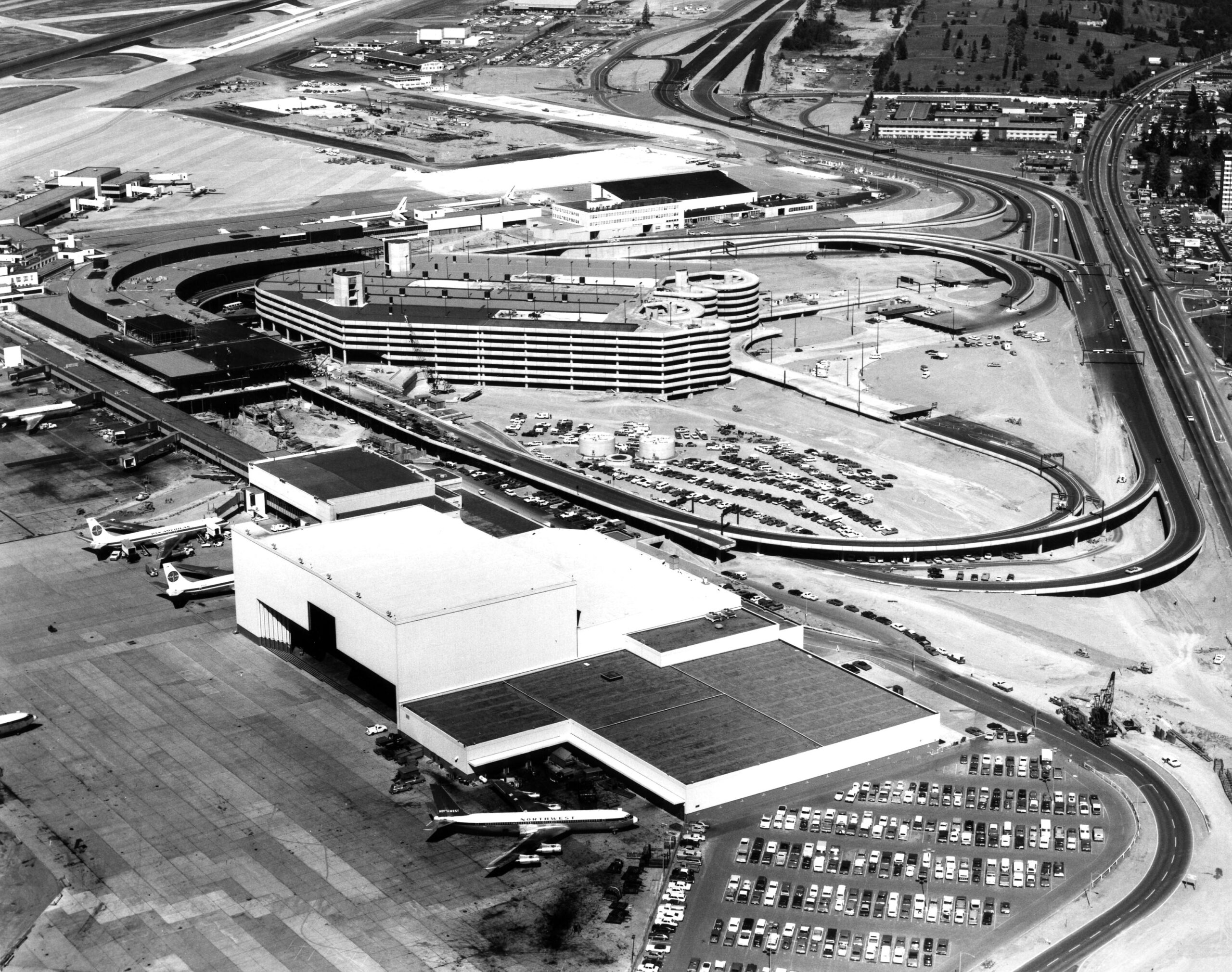 1971-09-16
Sea-Tac Airport Aerial View, 1971
Aerial photograph of Seattle-Tacoma International Airport showing the main terminal complex, multi-level parking garage, and aircraft on the tarmac. Visible aircraft include Pan Am and Northwest Airlines liveries, consistent with the airport's configuration during the early 1970s expansion period. -