TagRunways(144)
-
 2001-06-22
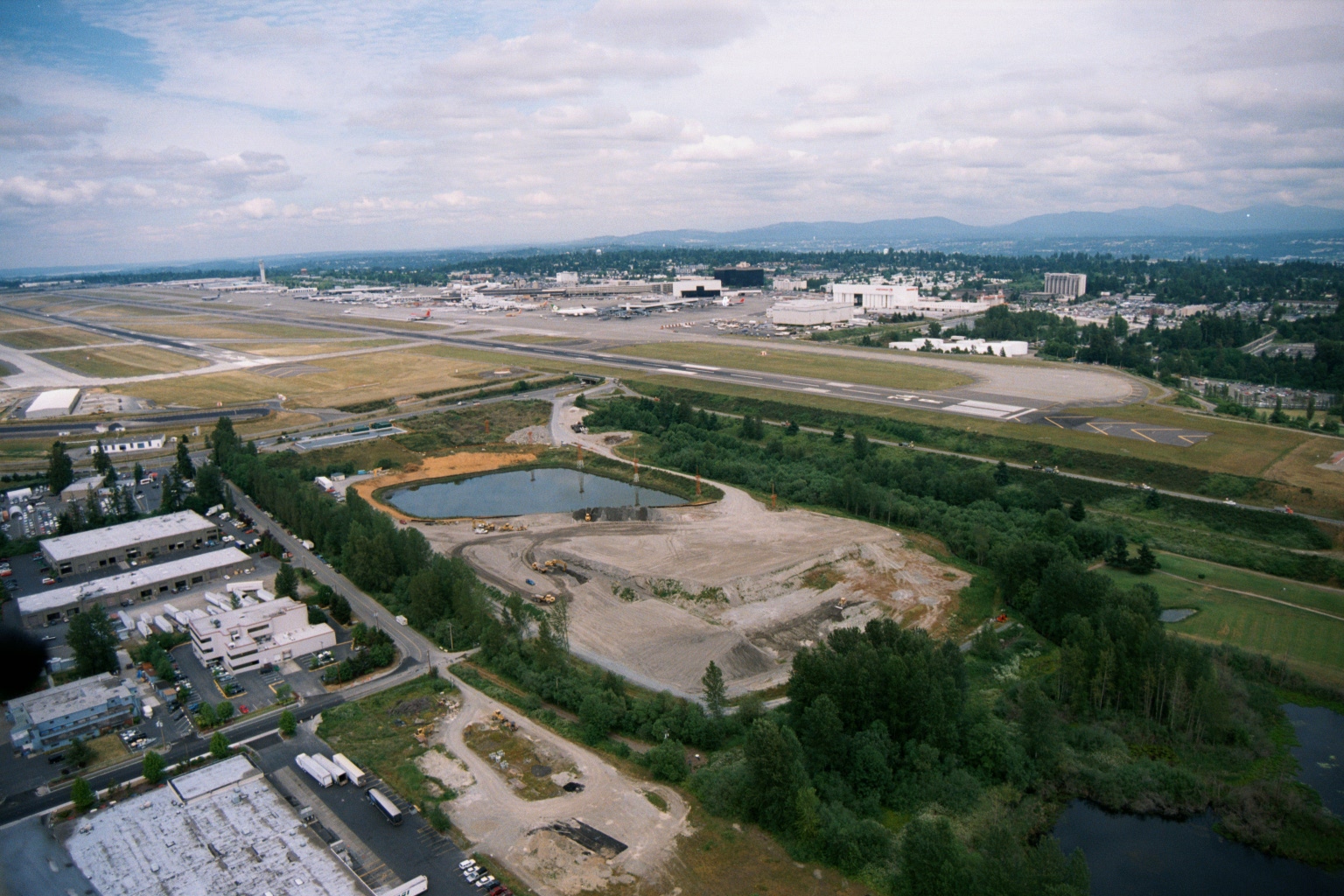
Aerial View of Sea-Tac Airport with Southern Perimeter Construction Site and Retention Pond
Aerial photograph looking north toward Seattle-Tacoma International Airport showing runways, terminal area, and aircraft on the ramp. In the foreground, a large graded construction site with a retention pond is visible adjacent to industrial/commercial buildings, suggesting significant ground development activity near the airport's southern perimeter. -
 2001-06-22
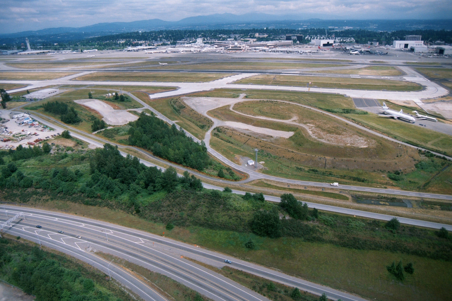
Sea-Tac Airport Aerial View Showing Runways, Terminals, and Aircraft Parking Areas
Aerial photograph showing Seattle-Tacoma International Airport's runway and taxiway complex, terminal buildings, and aircraft parking areas, with a multi-lane highway (likely Interstate 5 or SR 99) and undeveloped greenbelt land in the foreground. Two white commercial aircraft are visible on the right side of the airfield; mountains and suburban development are visible in the background. -
 2001-06-22
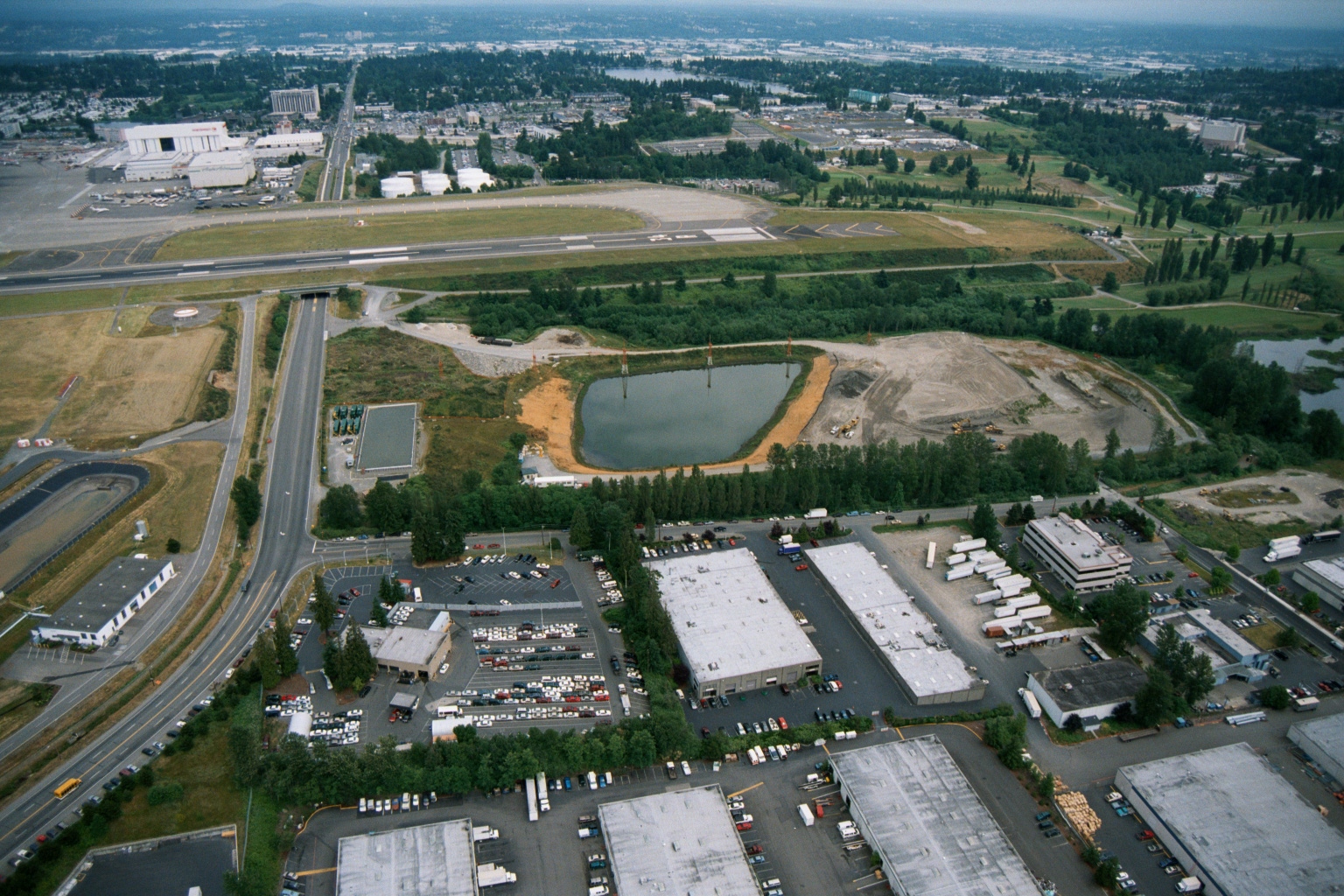
Sea-Tac Airport Runway and Stormwater Pond Construction with Adjacent Industrial Facilities
Aerial photograph showing a runway and taxiway system in the upper portion of the frame, with a retention or stormwater pond under apparent construction or remediation in the mid-ground. The foreground shows warehouse and distribution facilities with truck loading areas, parking lots, and a multi-story office building, consistent with an airport-adjacent industrial zone. -
 2001-06-22
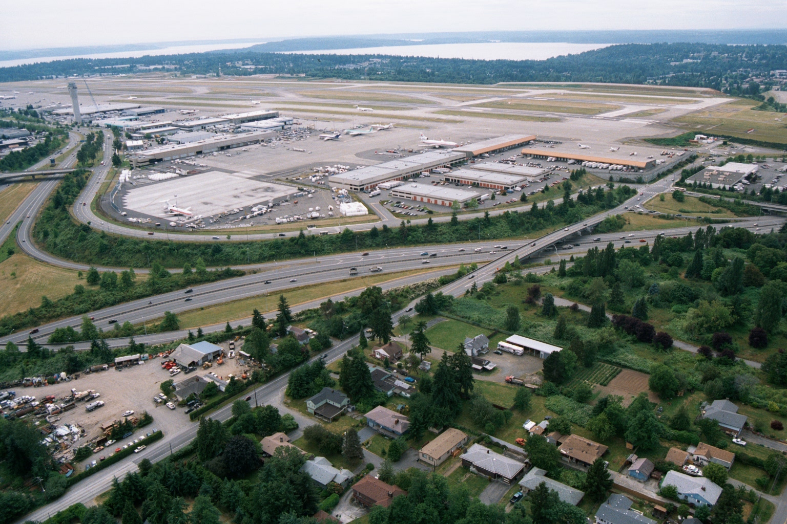
Aerial View of Sea-Tac Airport Looking North Toward Puget Sound
An aerial photograph looking northward over Seattle-Tacoma International Airport (Sea-Tac), showing the terminal, concourses, runways, and cargo facilities. Interstate 5 is visible in the foreground, with residential neighborhoods of the SeaTac/Burien area in the lower portion of the image and Puget Sound visible in the background. -
 2001-06-22
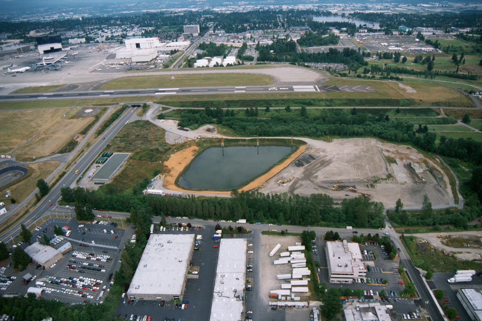
Aerial View of Sea-Tac Airport Runway System and Stormwater Pond Under Construction
Aerial photograph looking north toward Seattle-Tacoma International Airport, showing a runway and taxiway system in the mid-ground, a large retention/stormwater pond under construction in the middle distance, and commercial/industrial development in the foreground. The Boeing manufacturing facilities and Renton area are visible in the upper background, consistent with the airport's geography south of Seattle. -
 2001-06-22
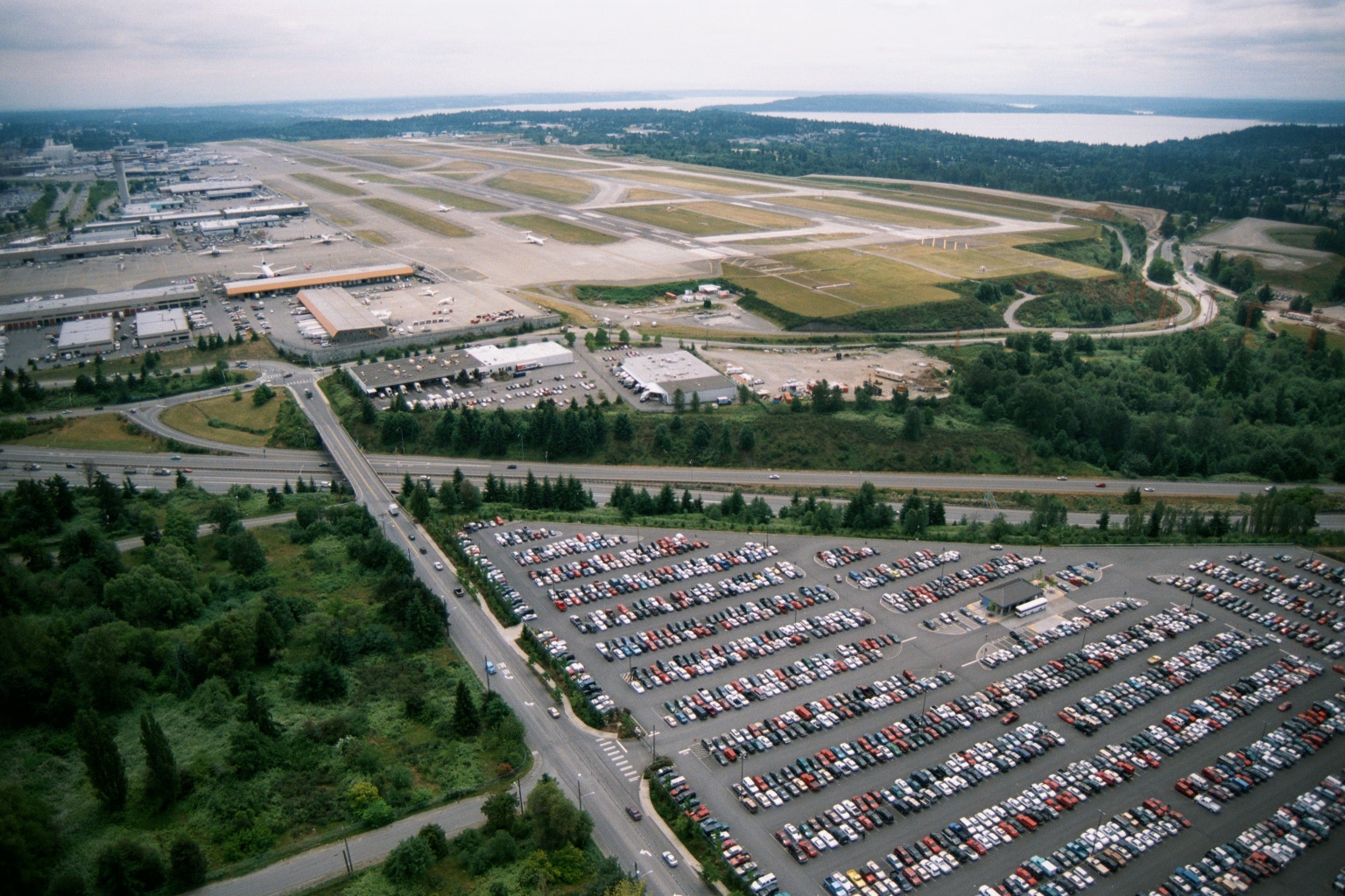
Sea-Tac Airport Aerial View Showing Runways, Terminal, and Puget Sound
Aerial photograph showing Sea-Tac Airport's runway complex, terminal area, and cargo/maintenance facilities, with a large surface parking lot in the foreground and Puget Sound visible in the background. The image appears to date from the late 1970s or 1980s based on vehicle styles and airport infrastructure visible. -
 2001-06-22
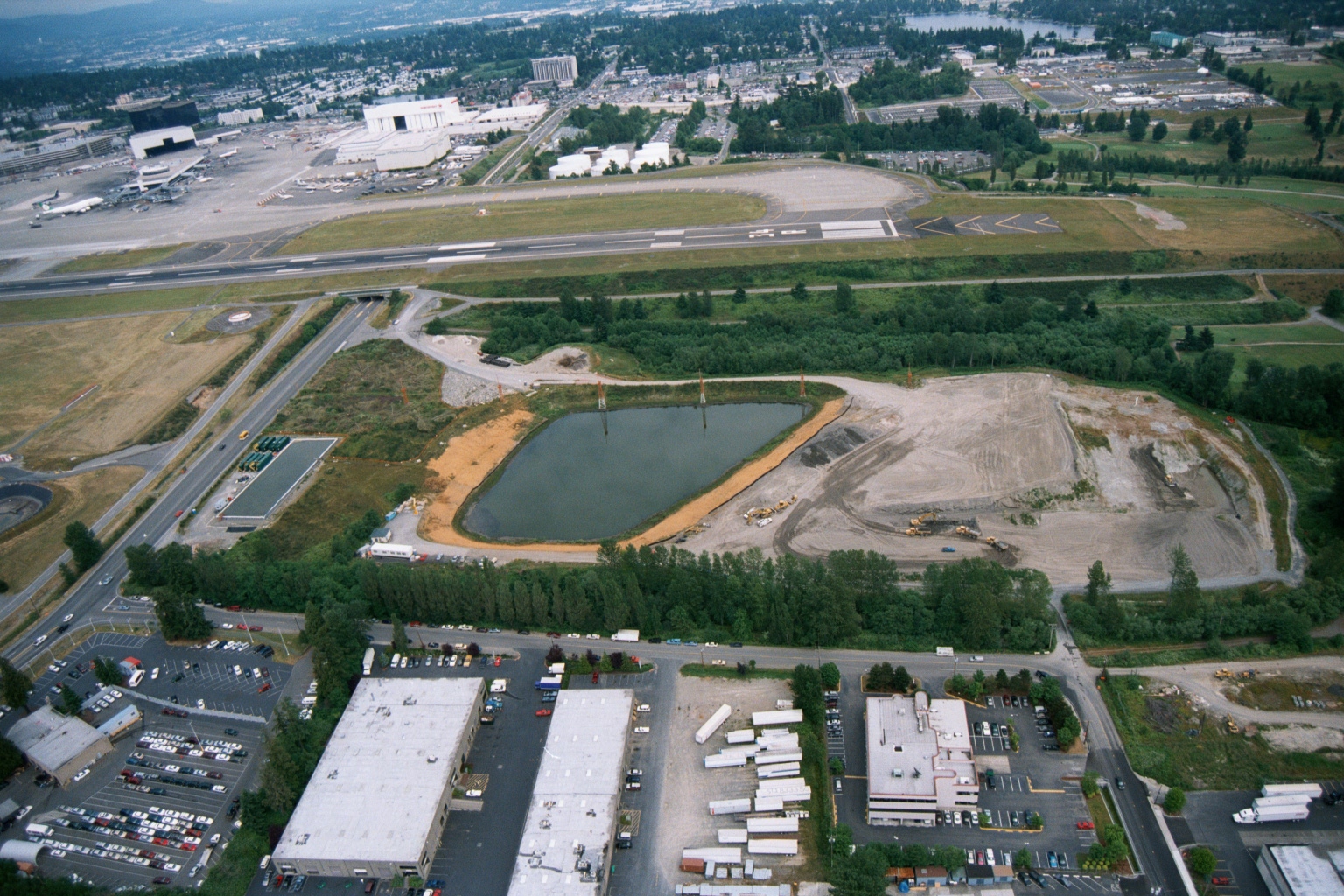
Aerial View of Retention Pond Construction Adjacent to Sea-Tac Airport Runways
Aerial photograph showing a large oval retention/detention pond under construction adjacent to airport runways, with active grading and earthwork visible to the east. The image also shows Boeing or similar aviation facility buildings, taxiways, and surrounding commercial/industrial development consistent with the Sea-Tac Airport area. -
 2001-06-22
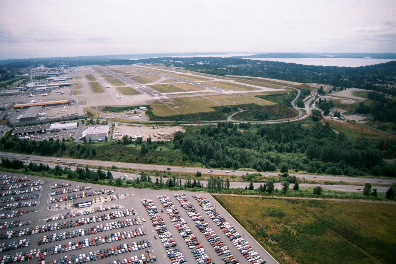
Aerial View of Sea-Tac Airport Looking North Toward Puget Sound
Aerial photograph looking northward over Seattle-Tacoma International Airport, showing the parallel runway complex, terminal and cargo areas on the west side, a large airport parking lot in the foreground, Interstate 5 running across the middle ground, and Puget Sound visible in the background. The image appears to date from the 1990s based on infrastructure and vehicle styles, and is consistent with noise-policy documentation of the airport's runway layout and surrounding land use. -
 2001-06-22
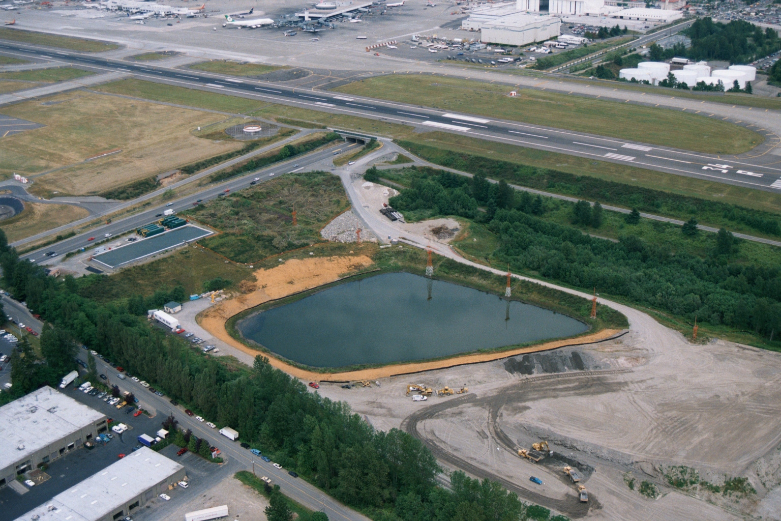
Aerial View of Stormwater Retention Pond Under Construction Near Sea-Tac Airport Runways
Aerial photograph showing an artificial retention or stormwater pond under active construction adjacent to a major airport runway complex, with construction equipment visible along the earthen berms. Industrial and commercial buildings are visible in the lower left, with airport taxiways, runways, and terminal infrastructure visible in the upper portion of the image. -
 2001-06-22
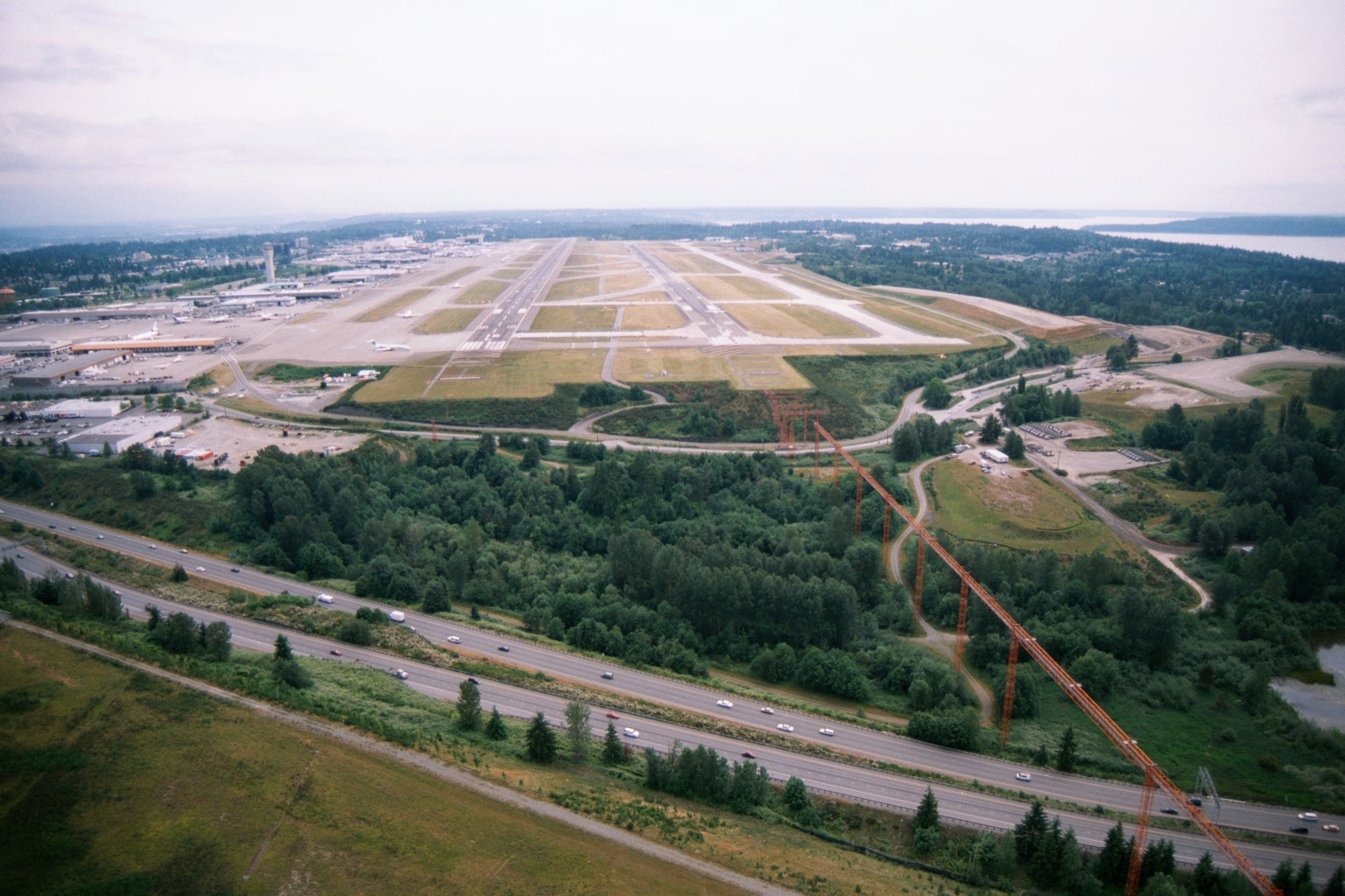
Aerial View of Sea-Tac Airport Showing Parallel Runways, Terminal Area, and I-5 Buffer Zone
Aerial photograph looking north toward Seattle-Tacoma International Airport, showing the parallel runway configuration, terminal and concourse area to the left, and what appears to be Interstate 5 in the foreground. High-voltage transmission towers are visible in the buffer zone between the highway and the airport perimeter, consistent with the known Sea-Tac noise and land-use buffer area on the south end of the airfield.