TagRunways(144)
-
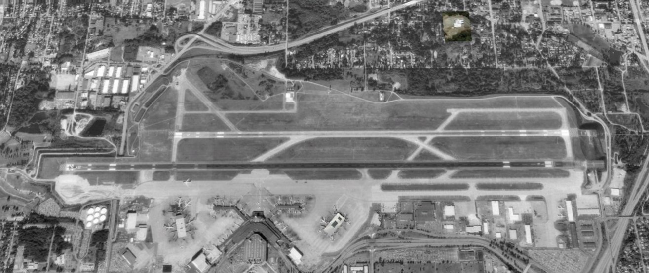 1990-01-01
Sea-Tac Airport 1990 Second Runway
Black-and-white aerial satellite or reconnaissance photograph showing a commercial airport with two parallel runways, taxiways, a terminal building with jet bridges, and surrounding suburban development. No visible text, watermarks, or captions are present to confirm the specific airport identity or date. -
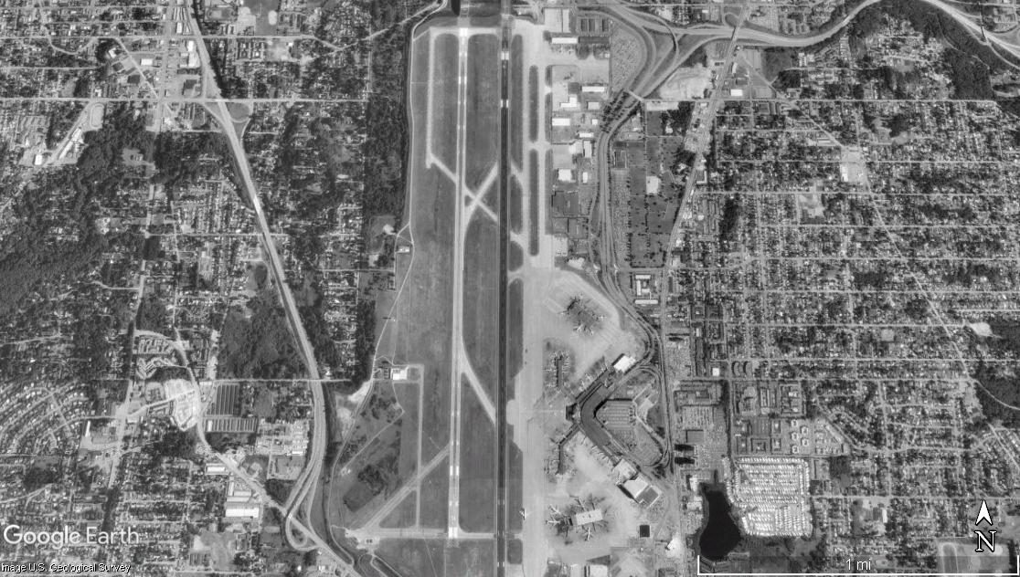 1990-01-01
Satellite Image of Single-Runway Airport With Urban Development
Google Earth satellite image (U.S. Geological Survey) showing a single primary runway airport surrounded by dense urban development. Visible features include parallel taxiways, terminal apron areas with parked aircraft, and a highway corridor to the west. This does not appear to be Sea-Tac Airport, which has multiple parallel runways. -
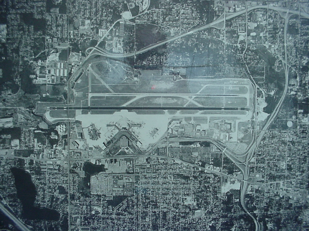 1982-01-01
Sea-Tac Airport Aerial View, 1982
Black-and-white aerial photograph showing a large commercial airport with parallel runways, terminal buildings with gate fingers, surrounding roadway infrastructure, and dense urban development on multiple sides. No visible text, date, or identifying labels are present in the image. -
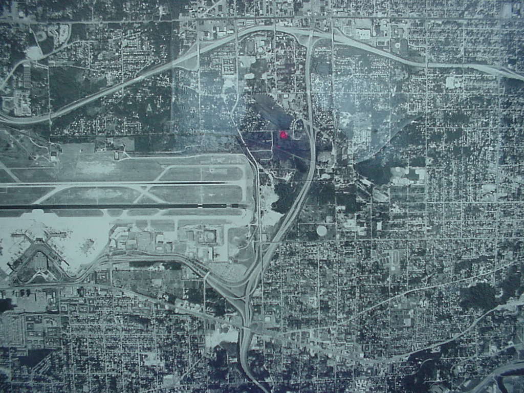 1982-01-01
Sea-Tac Airport Aerial Photograph, 1982
Black-and-white aerial photograph showing a large commercial airport with parallel runways and terminal facilities at left, surrounded by a dense urban street grid. A single red dot marker is visible near the center of the image, possibly indicating a specific location of interest for noise or planning purposes. -
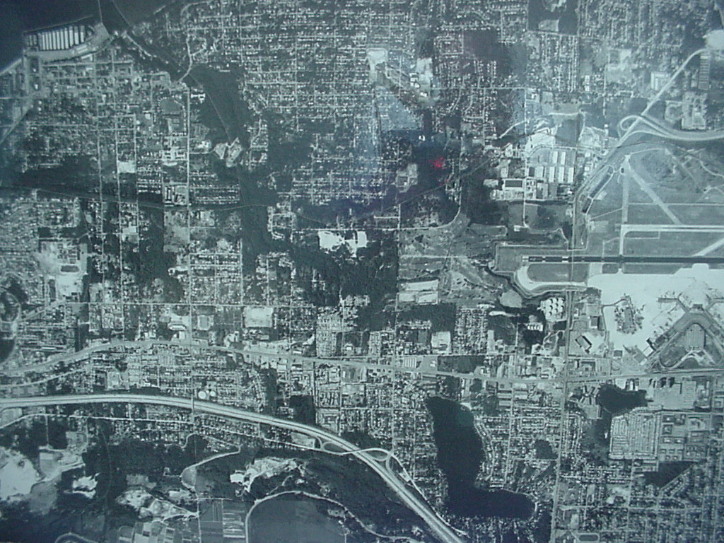 1982-01-01
Aerial Photograph of Sea-Tac Airport Runway Complex and Surrounding Urban Area, 1982
Black-and-white aerial photograph showing a densely developed urban grid with residential and commercial areas. A runway complex is visible in the upper right quadrant, and a river or waterway curves through the lower portion of the image, consistent with an airport noise study context. -
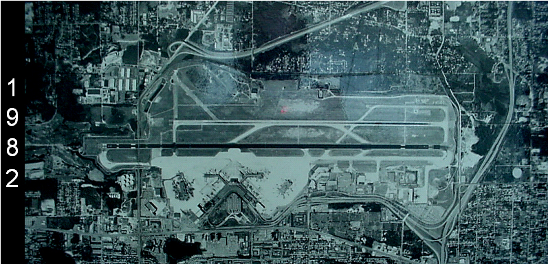 1982-01-01
Sea-Tac Airport Aerial View, 1982
An aerial photograph of Seattle-Tacoma International Airport dated 1982, showing the runway configuration, terminal area, and surrounding urban development. The year '1982' is visible as text on the left side of the image. -
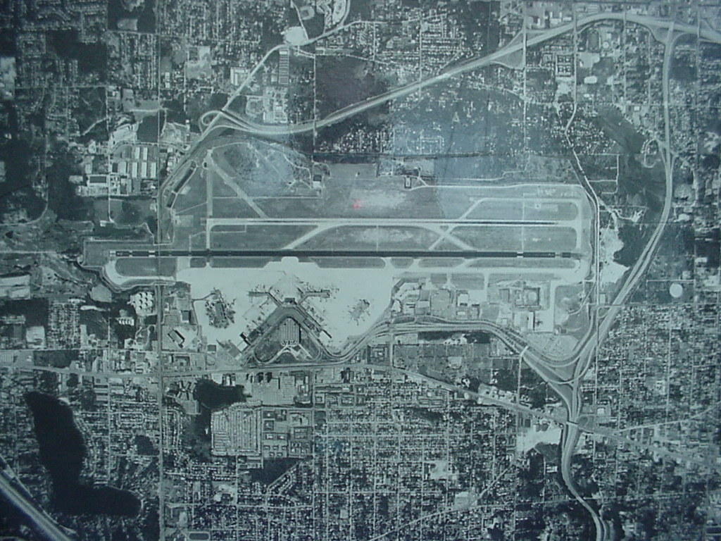 1982-01-01
Sea-Tac Airport Aerial View, 1982
Black-and-white aerial photograph showing a large commercial airport with multiple parallel runways, terminal buildings with gate concourses, and surrounding urban development including residential neighborhoods, roads, and highway interchanges. No visible text, date, or identifying labels are present in the image. -
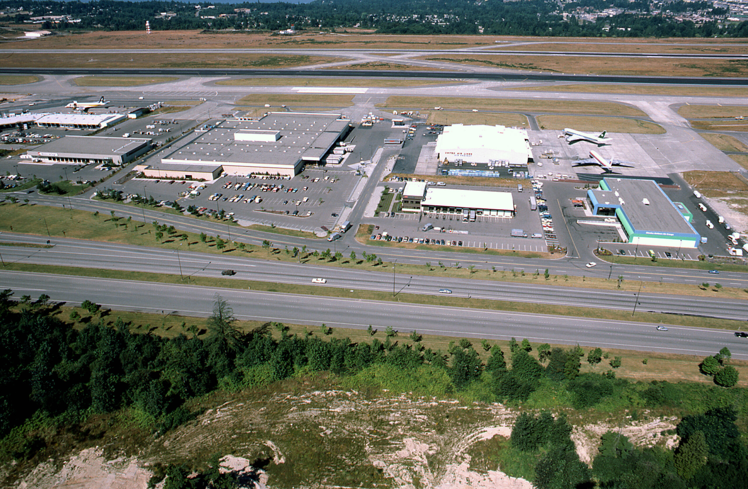 1981-01-01
SEA-TAC Aerial w cargo 1981 02
Aerial photograph showing the west side of Seattle-Tacoma International Airport, featuring cargo warehouses, parking lots, and aircraft maintenance ramps. A United Air Lines maintenance hangar is legible near the center-right, and at least two commercial jet aircraft are visible on the apron. A major highway (likely SR-99 or I-5 corridor) runs along the foreground. -
 1981-01-01
Sea-Tac Aerial July 1981
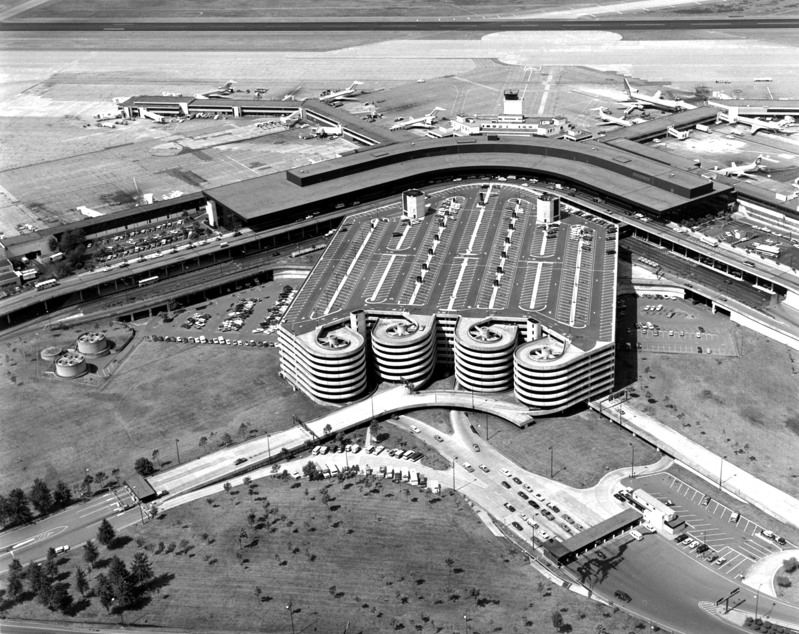
Black-and-white aerial photograph showing a large airport terminal complex with a curved horseshoe-shaped concourse, multiple jet aircraft at gates, and a distinctive multi-story parking garage featuring cylindrical spiral ramp towers. The image appears to date from the 1960s–1970s based on aircraft types and architectural style visible. -
 1978-08-13
Sea-Tac Airport Aerial View During Central Terminal Construction
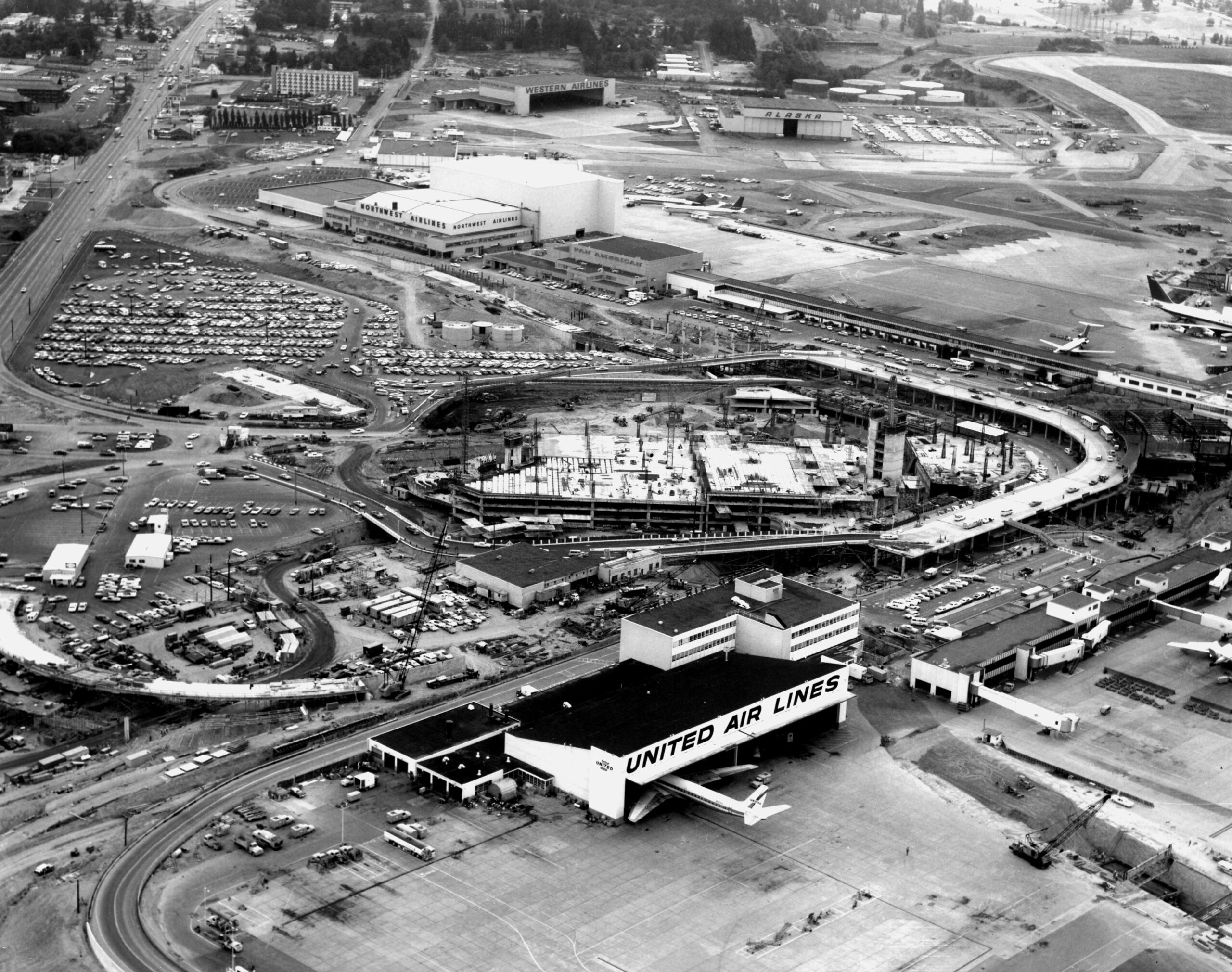
Aerial photograph of Seattle-Tacoma International Airport during a major construction phase, showing the new central terminal under construction (circular/horseshoe structure). Visible airline facilities include United Air Lines (foreground), Northwest Airlines, Western Airlines, and Alaska Airlines hangars, along with extensive parking areas and tarmac operations.