TagPort Of Seattle(2349)
-
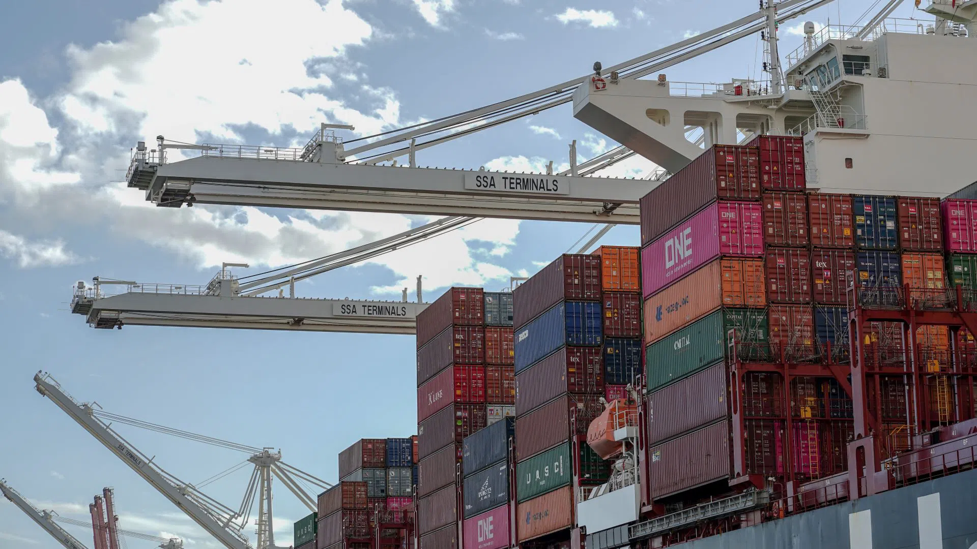
SSA Terminals Seattle – Container Ship Loading Intermodal Cargo
Cranes branded 'SSA Terminals' load or unload stacked intermodal shipping containers onto a large container vessel. Visible container markings include ONE (Ocean Network Express), UASC, CMAU, K Line, and Hapag-Lloyd, indicating international cargo operations at an SSA Terminals-operated port facility. -
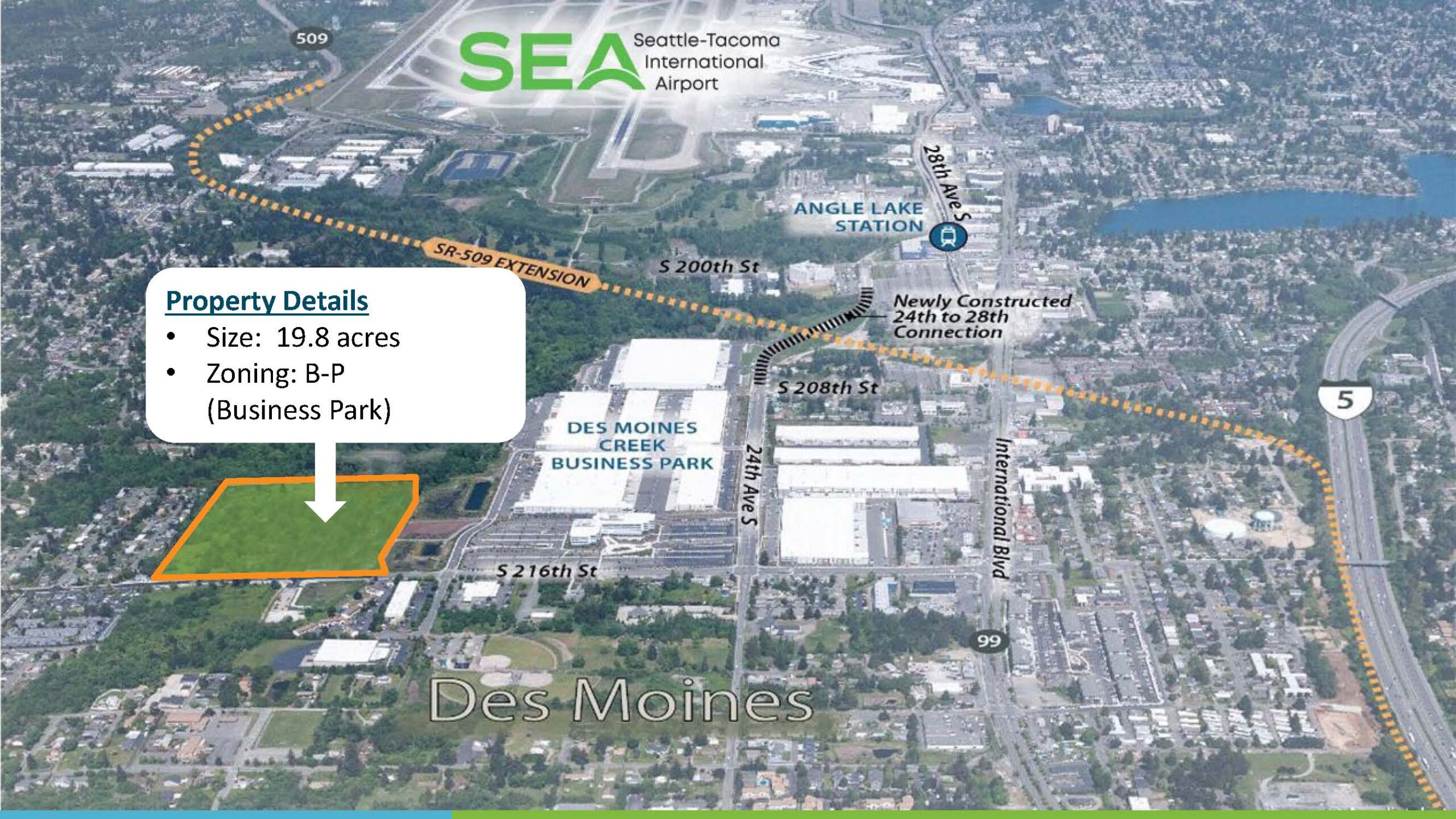
SR-509 Stage 2 2022_07_12_RM_10b_Presentation_Des-Moines-Creek-West-Ground-Lease
Aerial marketing map depicting a 19.8-acre Business Park (B-P) zoned property in Des Moines, Washington, located adjacent to the Des Moines Creek Business Park and near Seattle-Tacoma International Airport (SEA). The map highlights the SR-509 Extension corridor, Angle Lake Station, the newly constructed 24th-to-28th Street connection, and proximity to Interstate 5 and Highway 99. -
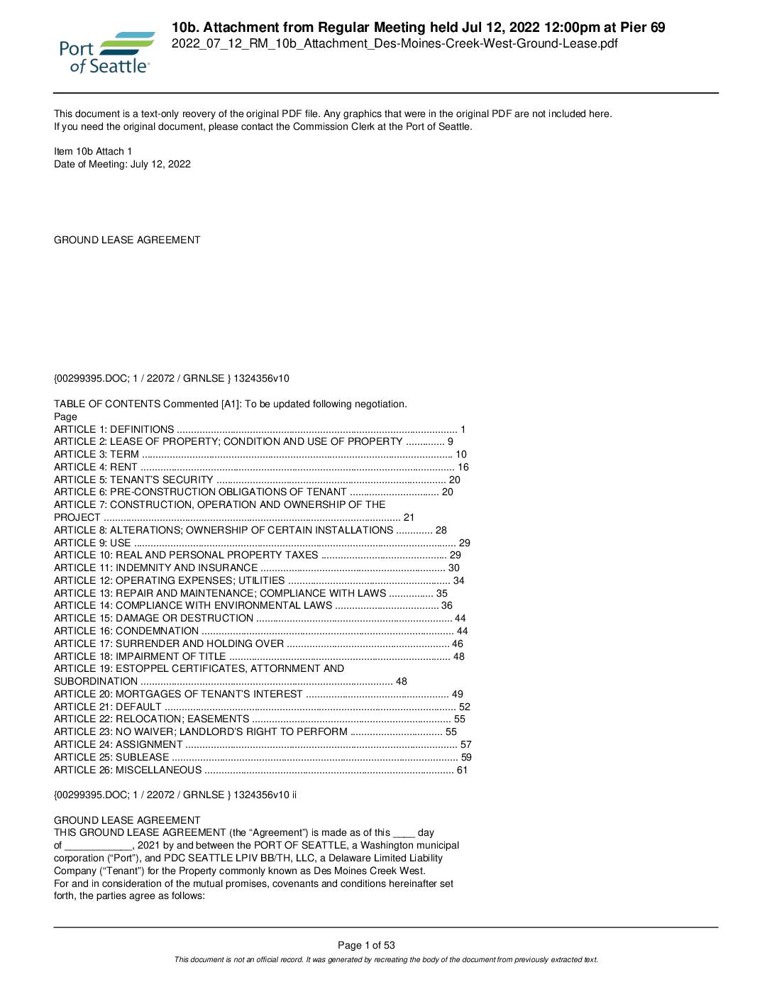 2022-07-12
Ground lease agreement: Des Moines Creek West
This is a Ground Lease Agreement between the Port of Seattle and PDC Seattle LPIV BB/TH, LLC for the property known as Des Moines Creek West, presented at a Port of Seattle Commission meeting on July 12, 2022. The agreement establishes the terms under which the tenant may develop and operate a business park project on Port-owned land near Seattle-Tacoma International Airport, covering provisions for rent, construction obligations, environmental compliance, and tenant rights. Key definitions include conditions for the lease commencement date, force majeure events, and restrictions on property use, including limitations related to flight kitchen operations serving SeaTac Airport airlines. -
 2022-07-12
Des Moines Creek West Development Partnership: Ground Lease Presentation
The Port of Seattle Commission considered authorizing a ground lease with developer Panattoni to build approximately 399,337 square feet of Class A logistics and distribution facilities on a 19.8-acre site near Seattle-Tacoma International Airport. The development, discussed at the July 12, 2022 Commission meeting, is intended to support SEA airport's aviation and logistics operations and is described as environmentally sustainable. The site is zoned Business Park and is located adjacent to the Des Moines Creek Business Park area south of the airport. -
 2022-07-10
Sea-Tac Communities Plan Part 8: References — Sea-Tac Plan Published Reports (Section 8.0.1)
This document lists the published reports produced as part of the Sea-Tac Airport and Vicinity Master Plan study, a collaborative effort by King County, the Port of Seattle, consultants, and community members. The reports cover a wide range of topics including aviation demand forecasting, air and water quality analysis, solid waste, and noise exposure analysis across multiple volumes. Copies of these references were made available at the King County Land Use Management Division and the Port of Seattle Planning and Research Department. -
 2022-07-10
Part 7, Chapter 7.1: Common Problems and Opportunities — Implementation (Sea-Tac Communities Plan)
This document, Part 7 (Implementation), Chapter 7.1, covers common problems and opportunities related to airport development, with a focus on the financial framework governing the Port of Seattle. It explains that the five-member Port of Seattle Commission is legally authorized to levy taxes on property within King County and to issue general obligation bonds, subject to strict limits—bonds cannot exceed 3/4 of 1% of the actual taxable property value in the district. Voter approval by 60% is required for bond issuances that go beyond the non-voter-authorized debt ceiling. -
 2022-07-10
Sea-Tac Communities Plan: Chapter 3.1 Background
This document provides historical background on Seattle-Tacoma (Sea-Tac) Airport, tracing its origins to 1942 when the Civil Aeronautics Administration selected a site near Bow Lake and the Port of Seattle acquired the original 906 acres. As the jet age arrived and the airline industry expanded, the surrounding communities experienced rapid urbanization, bringing with it land use conflicts, traffic problems, pollution, and shortsighted commercial development. The Sea-Tac Communities Plan background chapter examines these challenges as context for developing more thoughtful, long-term planning policies for the airport region. -
 2022-07-10
Part 2: Use of the Report
This document outlines the official significance and structure of a comprehensive land use and community planning report for Sea-Tac International Airport and its surrounding communities, jointly produced by the Port of Seattle and King County. It serves as the primary guide for official decisions on land use, capital expenditures, and public and private development review. The report is organized into eight parts covering plans, policies, programs, background information, and implementation strategies. -
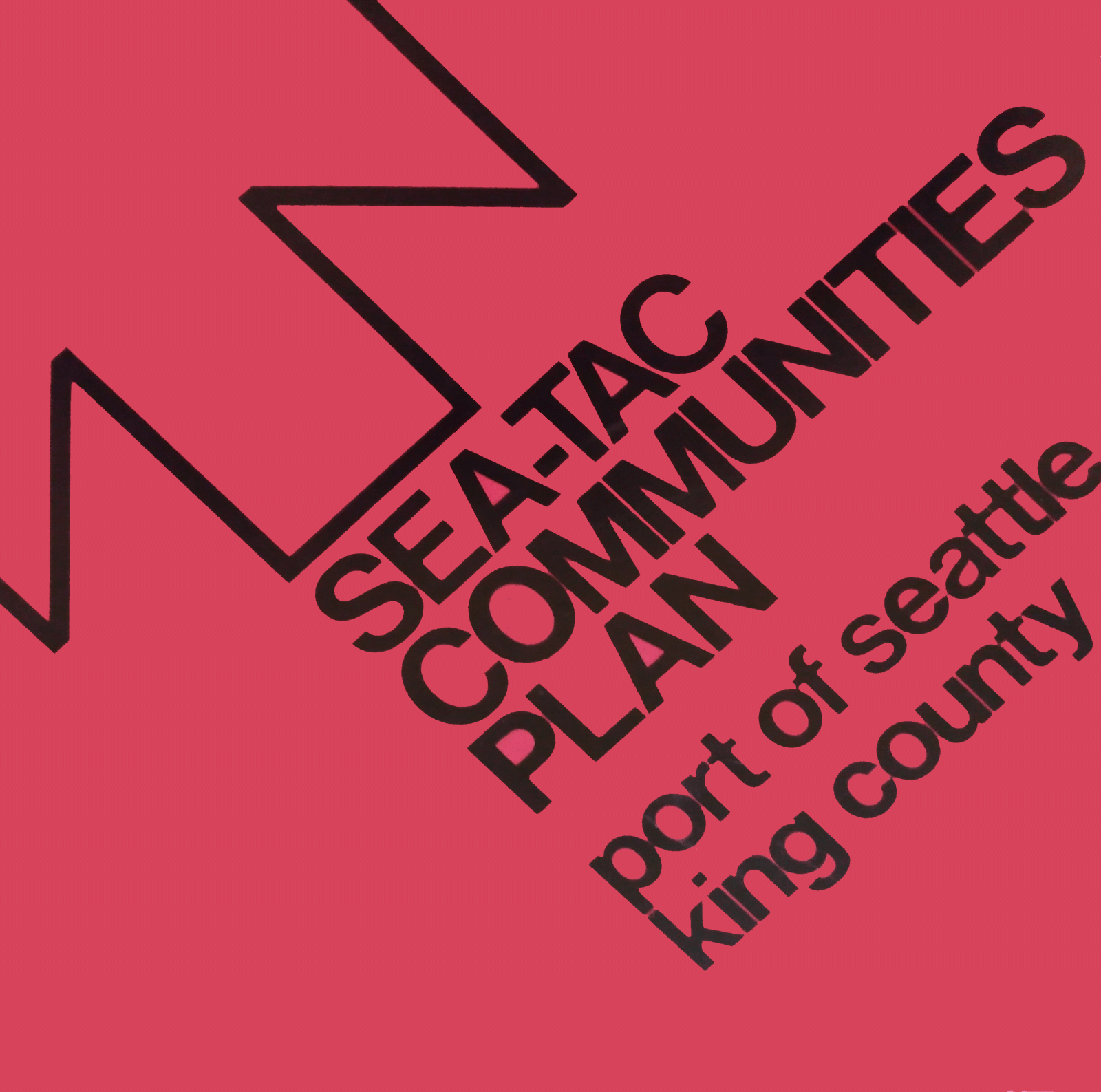
Sea-Tac Communities Plan Cover
Cover of the 'Sea-Tac Communities Plan,' a planning document jointly produced by the Port of Seattle and King County. The bold graphic design features diagonal typography on a red/pink background with a stylized chevron or flight-path symbol. -
seatac communities plan cover-smudged
Cover of the 'Sea-Tac Communities Plan,' a planning document jointly produced by the Port of Seattle and King County. The hot-pink cover features bold black typography and a stylized geometric logo, likely related to noise mitigation or land-use planning around Seattle-Tacoma International Airport.