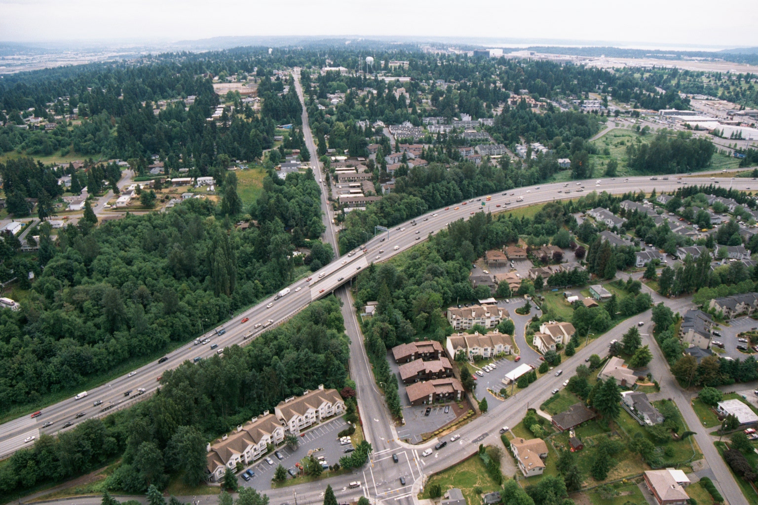
Aerial photograph showing a multi-lane interstate highway (likely I-5 or SR-99) intersecting with a local arterial road, surrounded by residential subdivisions, apartment complexes, and dense Pacific Northwest evergreen tree cover. An airport facility or large paved area is faintly visible in the upper right background, consistent with proximity to Sea-Tac Airport.Open full document
Notes
Aerial photograph showing a multi-lane interstate highway (likely I-5 or SR-99) intersecting with a local arterial road, surrounded by residential subdivisions, apartment complexes, and dense Pacific Northwest evergreen tree cover. An airport facility or large paved area is faintly visible in the upper right background, consistent with proximity to Sea-Tac Airport.