Notes
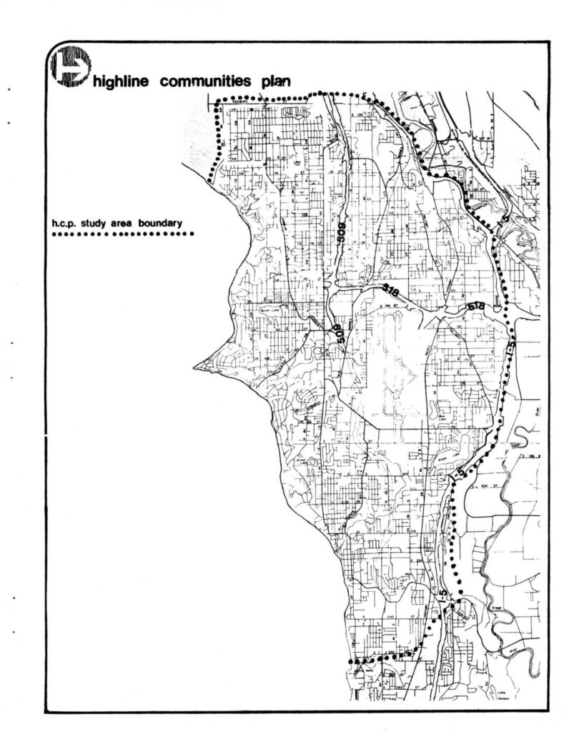
Final Environmental Impact Statement (EIS) for the Highline Communities Plan (HCP), prepared by King County Department of Planning and Community Development, Division of Planning, Room W-217, King County Courthouse, Seattle, WA 98104. Responsible Official: Karen Rahm, Manager; Principal author: Dave Baugh. The proposed action is adoption of a Community Plan and Area Zoning for Highline, to become official King County policy directing land use, area zoning, capital improvements, and County, State, and Federal grant programs for housing and utilities. Study area boundary runs generally between the western edge of the Green River Valley or I-5 and Puget Sound, from the City of Seattle on the north to South 252nd Street on the south, including portions of Kent, Tukwila, Des Moines, and Normandy Park. Draft EIS issued April 29, 1977; Final EIS issued December 9, 1977. Document cost $2.00.