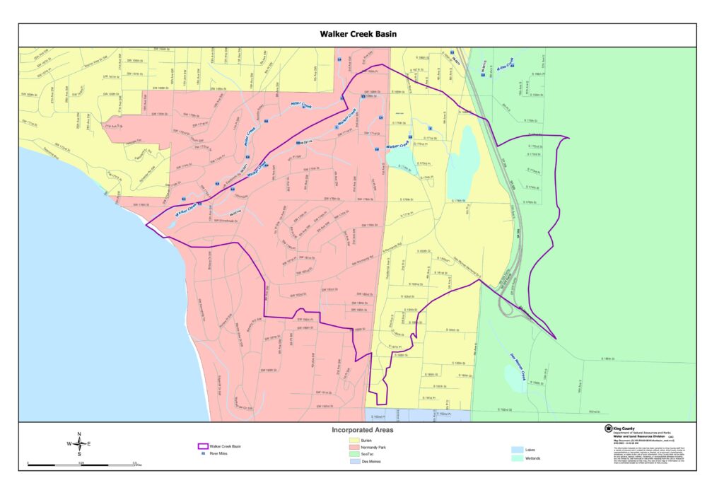
This King County Water and Land Resources Division map document depicts the Walker Creek Basin, a watershed area located near Sea-Tac Airport encompassing portions of the incorporated cities of Burien, Normandy Park, SeaTac, and Des Moines in Washington State. The map identifies key waterways including Walker Creek, Miller Creek, and Des Moines Creek, along with wetlands, lakes, and river mile markers within the basin boundary. Created in 2003, it serves as a geographic reference for water resource and land use planning in this urbanized watershed area.Open full document
Notes
A detailed map of the Walker Creek Basin in the King County area, showing river miles, wetlands, lakes, and incorporated areas including Burien, Normandy Park, SeaTac, and Des Moines. The map was produced by King County’s Department of Natural Resources and Parks, Water and Land Resources Division.