TagSea-Tac Communities Plan(215)
-
 1974-07-01
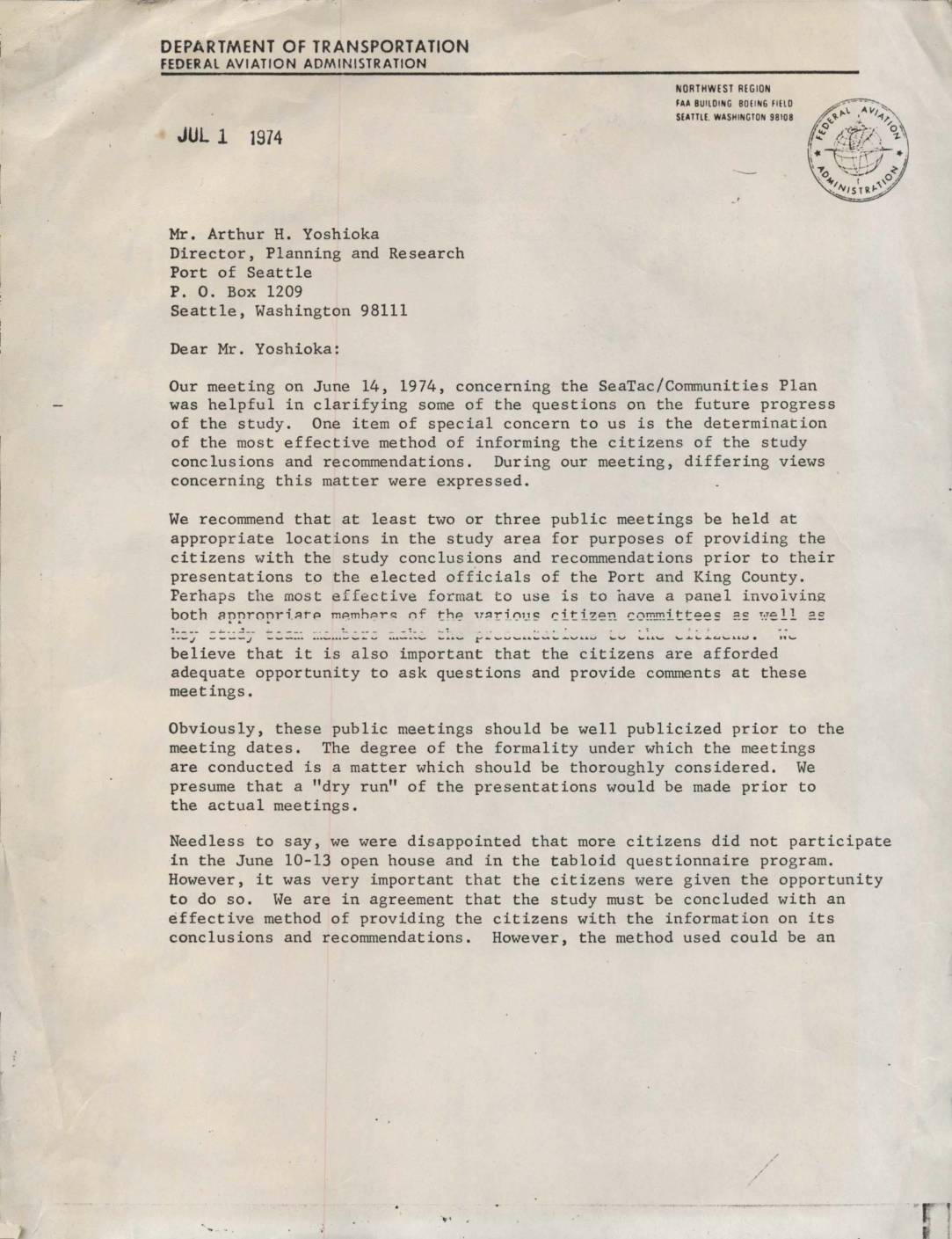
Letter to Arthur H. Yoshioka regarding SeaTac/Communities Plan public meetings
In this July 1974 letter, George L. Buley of the FAA's Airports Planning Branch writes to Arthur H. Yoshioka of the Port of Seattle regarding the SeaTac/Communities Plan study. Buley recommends holding two or three public meetings in the study area to present the study's conclusions and recommendations to citizens before they are brought before elected officials of the Port and King County. He emphasizes the importance of well-publicized meetings that allow citizens adequate opportunity to ask questions, and urges that the topic be discussed at the upcoming July PAC and TAC meetings. -
 1974-03-18
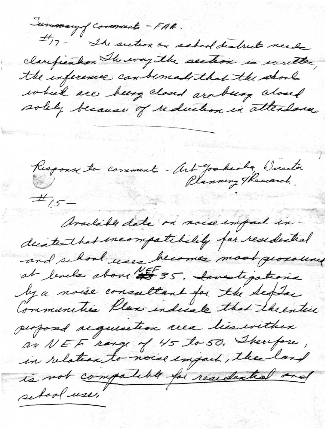
Summary of comments – FAR, and response to comment by Arthur Yoshioka, Director Planning & Research
This handwritten document summarizes public comments and official responses related to a Sea-Tac Airport land acquisition environmental impact report, focusing on noise compatibility concerns. A key finding notes that the entire proposed acquisition area falls within a Noise Exposure Forecast (NEF) range of 45 to 50, making the land incompatible for residential and school uses. Copies of the related information were distributed to FAA officials, state legislators, county councilmembers, and local community and school district boards. -
 1974-03-01
Sea-Tac Communities Plan Element Report 5.8: Community Attitudes Survey
This 1974 study, commissioned by the Port of Seattle and King County, examines the social impact of Seattle-Tacoma International Airport on surrounding neighborhoods. Researchers surveyed residents in high, medium, and low noise zones near Sea-Tac — then the 15th largest airport in the U.S., handling 5.3 million passengers and 375 flights per day in 1973 — and compared their responses with those of residents in comparable areas unaffected by airport noise. The findings were intended to inform the Sea-Tac International Airport Vicinity Master Plan and address community concerns about noise, drainage, and environmental quality. -
 1974-01-30
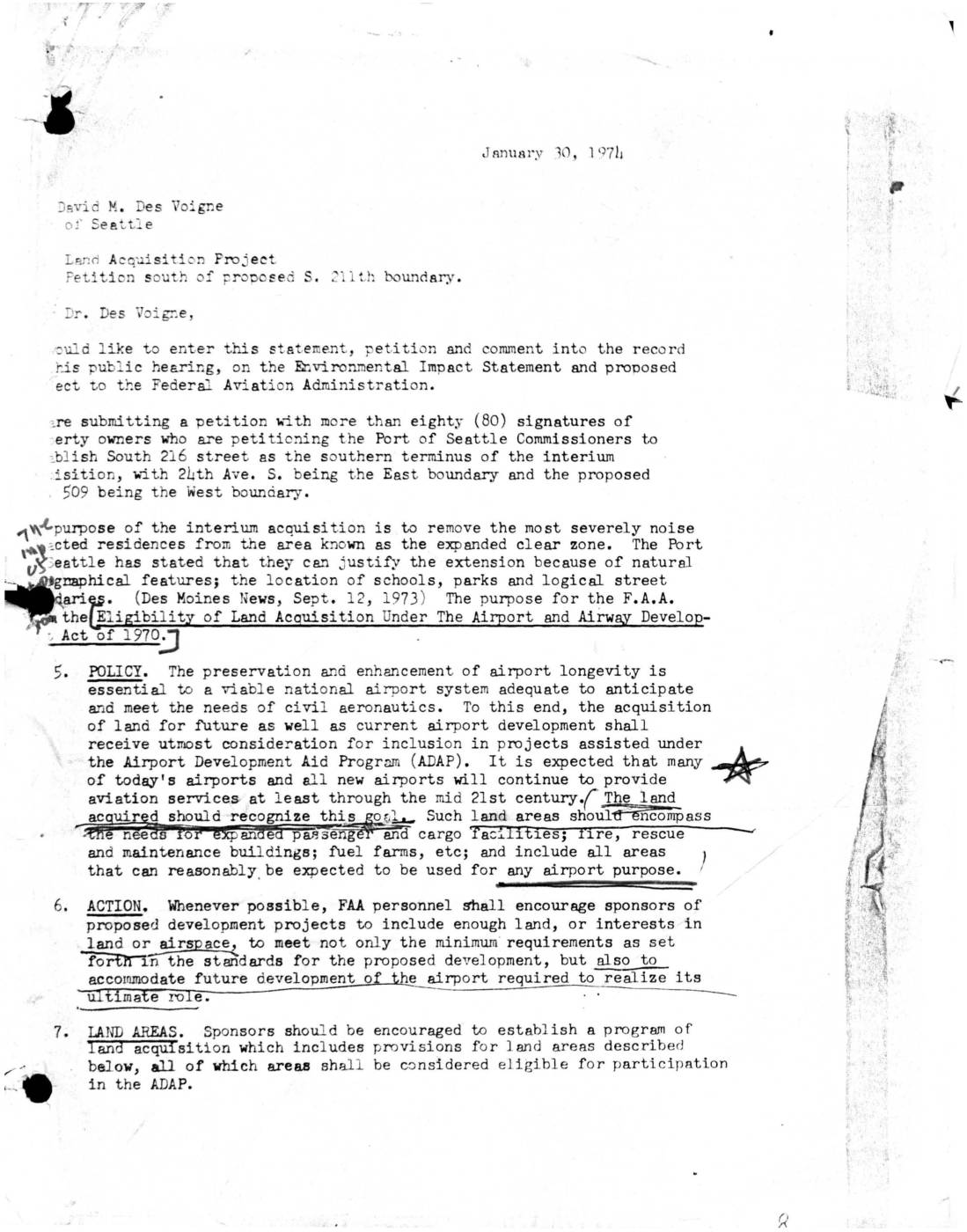
Letter to Port Of Seattle: Petition to Establish South 216th Street as Southern Terminus of Interim Land Acquisition
A January 30, 1974 letter submitted to David M. Des Voigne of the Port of Seattle presents a petition signed by more than 80 property owners requesting that South 216th Street be established as the southern boundary of an interim land acquisition project near Sea-Tac Airport, bounded by 24th Ave. S. to the east and proposed Highway 509 to the west. The petitioners sought to remove the most severely noise-impacted residences from the expanded clear zone. The letter also cites FAA policy under the Airport and Airway Development Act of 1970, which encourages land acquisition to accommodate both current and long-term airport development needs. -
 1974-01-06
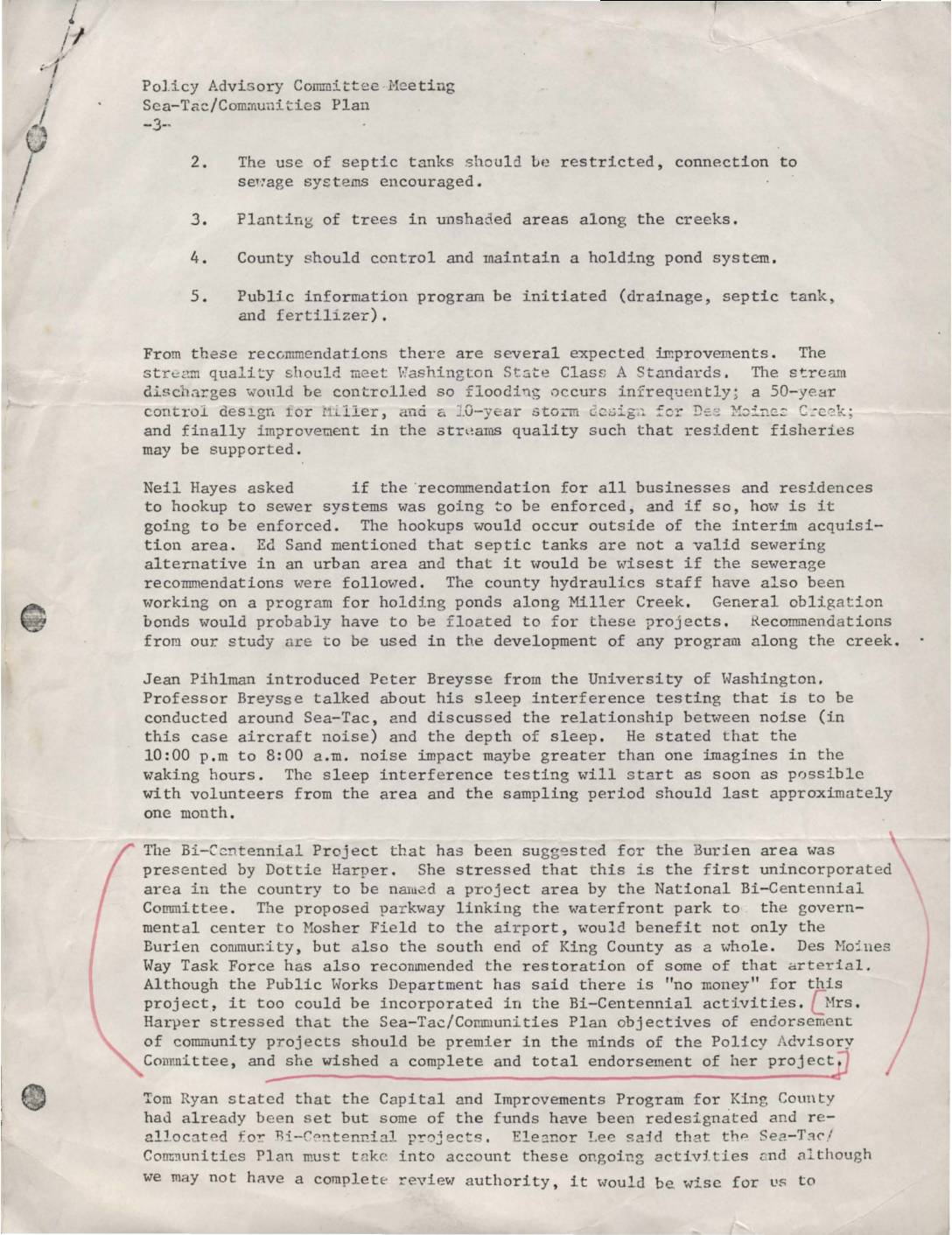
Policy Advisory Committee meeting, Sea-Tac-Communities Plan
This document summarizes a Policy Advisory Committee meeting for the Sea-Tac/Communities Plan, covering recommendations to improve local creek water quality through sewer hookups, tree planting, and holding ponds. It also describes a University of Washington study on how nighttime aircraft noise disrupts sleep for residents near Sea-Tac Airport. Additionally, a proposed Bi-Centennial parkway project linking Burien's waterfront to the airport was presented, with a request for the committee's full endorsement. -
 1973-09-20
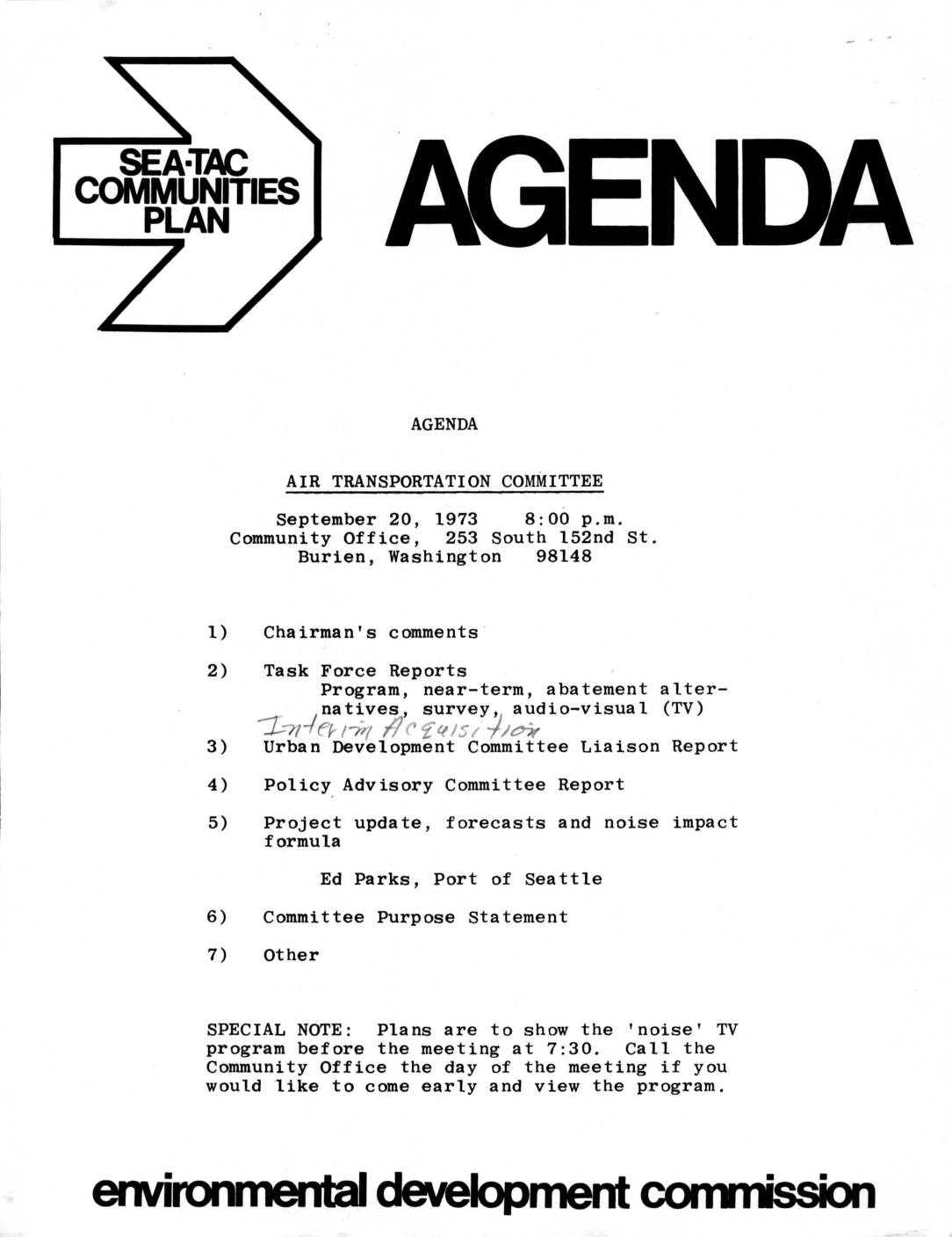
Air Transportation Committee agenda, September 20, 1973
This document is the agenda for an Air Transportation Committee meeting held on September 20, 1973, at the Community Office in Burien, Washington, organized under the Sea-Tac Communities Plan. The meeting covered task force reports on noise abatement alternatives, surveys, and audio-visual programs, along with updates on urban development, policy advisory matters, and a project briefing by Ed Parks of the Port of Seattle on forecasts and noise impact formulas. Attendees were also invited to view a noise-related TV program before the meeting at 7:30 p.m. -
 1973-09-20
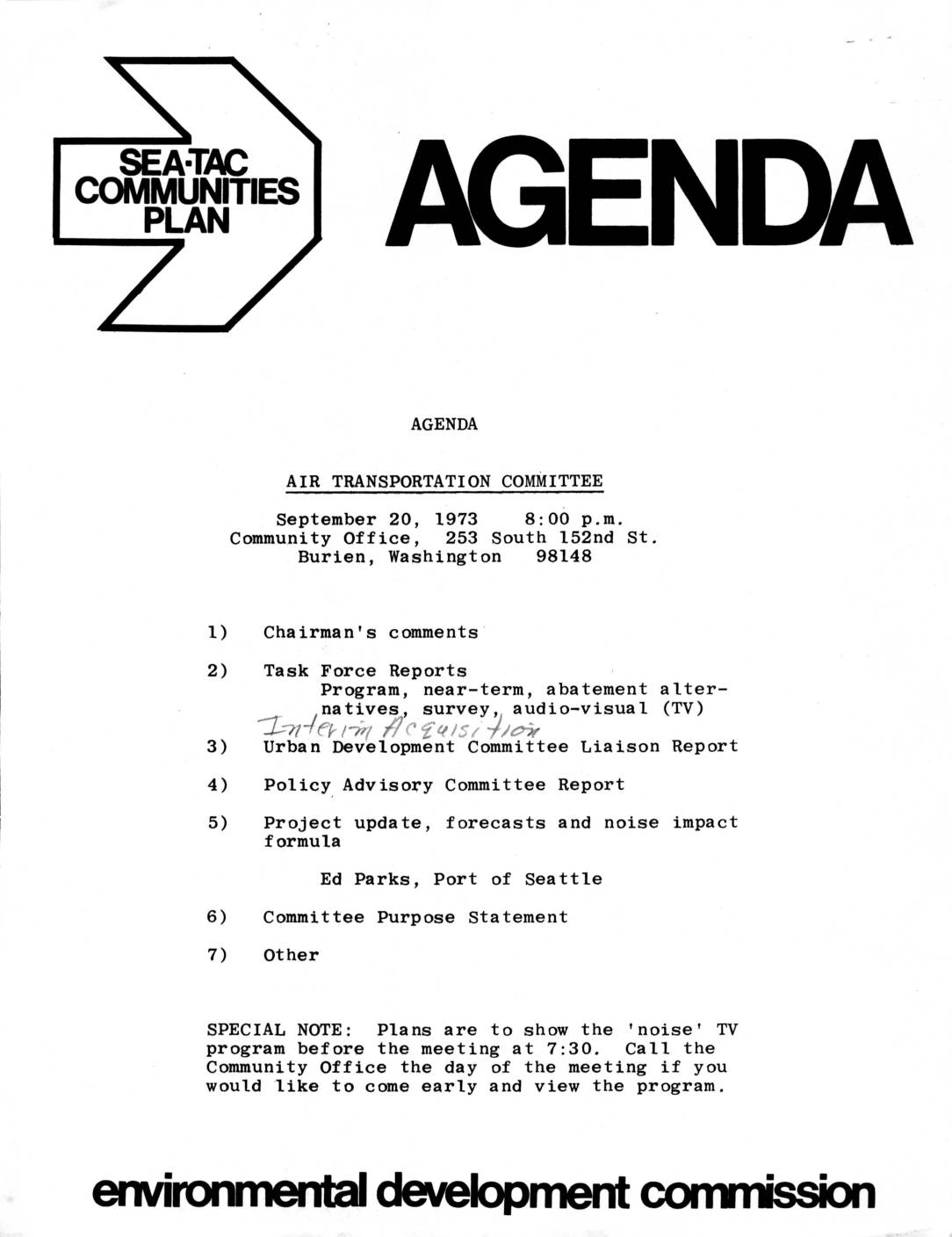
Sea-Tac Communities Plan: Air Transportation Committee agenda, September 1973
This September 1973 document package from the Sea-Tac Communities Plan includes an agenda for the Air Transportation Committee meeting held in Burien, Washington, covering topics such as noise abatement alternatives, land acquisition by the Port of Seattle, and a project update on noise impact formulas. A companion newsletter announces upcoming citizen committee meetings and highlights key initiatives including a port land acquisition proposal covering approximately 475 acres near Sea-Tac Airport, a community memory sketch mapping exercise, and the production of TV programs on noise and land use. Discussion materials also outline community engagement questions around airport noise impacts, land use priorities, and the role of citizens in shaping local planning decisions. -
 1973-09-07
Sea-Tac Communities Plan: An invitation to participate
This document is an invitation from the Port of Seattle and King County for community members to participate in the Sea-Tac Communities Plan, an 18-month federally funded study initiated by the Federal Aviation Administration. The plan aimed to address noise, air, and water quality issues related to Sea-Tac Airport operations, and to develop an airport master plan and land-use zoning plan for surrounding neighborhoods. Initial public meetings were scheduled in March at Highline High School and Thomas Jefferson High School, with a strong emphasis on citizen involvement throughout the planning process. -
 1973-09-01
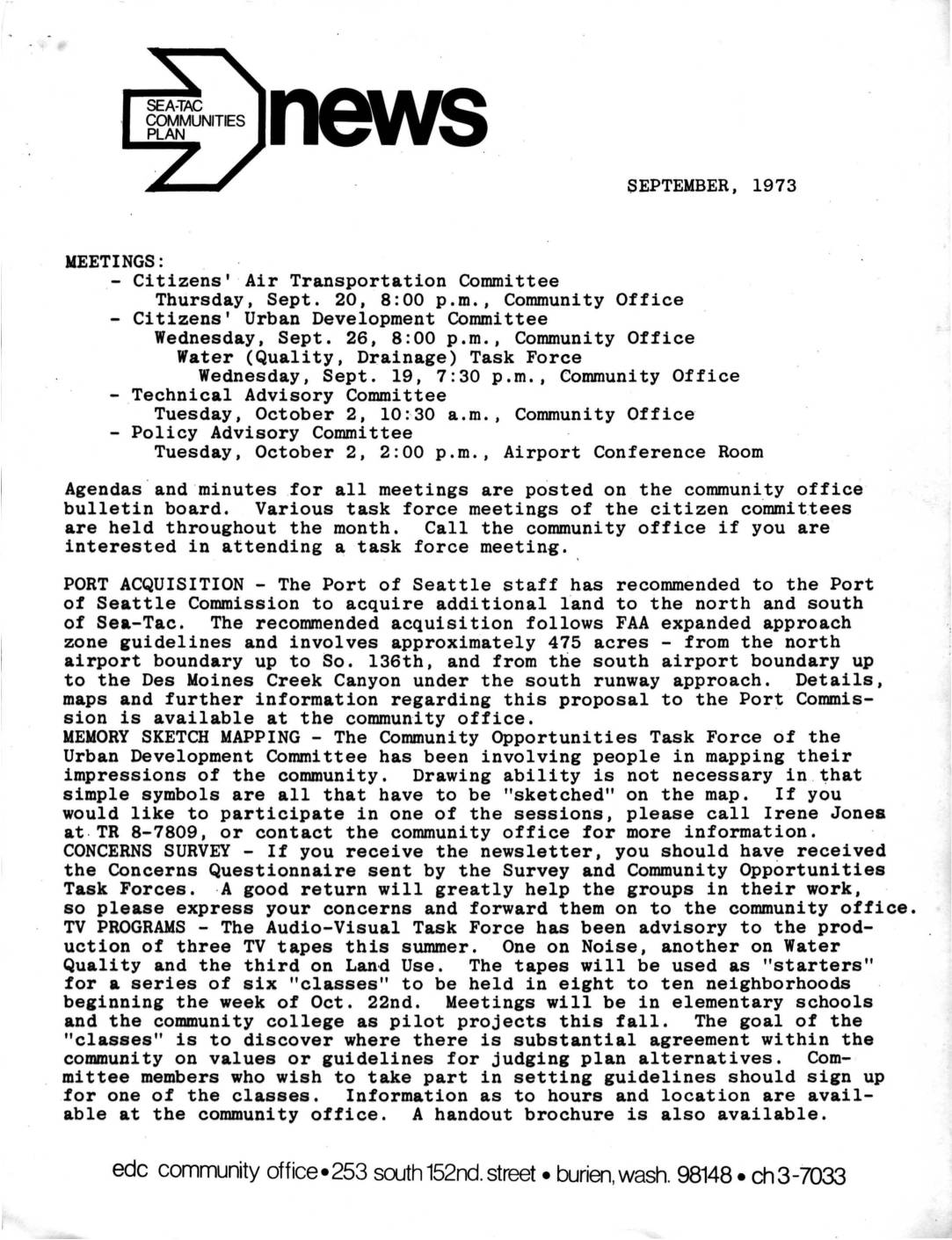
Sea-Tac Communities Plan Newsletter and Air Transportation Committee Minutes, September 1973
This September 1973 newsletter from the Sea-Tac Communities Plan covers community committee meetings, Port of Seattle land acquisition plans, and neighborhood engagement initiatives related to Sea-Tac Airport. The Port of Seattle proposed acquiring approximately 475 acres of land north and south of the airport following FAA approach zone guidelines, while citizen committees worked on noise, water quality, and land use concerns. Community outreach efforts included a memory sketch mapping project, a concerns survey, and a series of TV-based neighborhood classes aimed at building consensus on planning guidelines. -
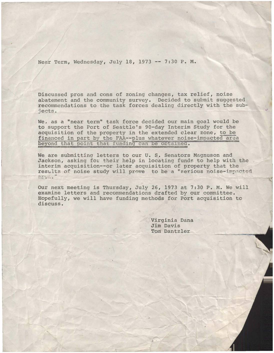 1973-07-18
Near Term Task Force Meeting Minutes: July 18, 1973
Minutes from a July 18, 1973 'Near Term' task force meeting focused on Sea-Tac Airport noise issues, in which members agreed to support the Port of Seattle's 90-day Interim Study for acquiring property in the extended clear zone, with partial FAA funding. The group also decided to write to U.S. Senators Magnuson and Jackson to seek additional funds for interim and future property acquisition in serious noise-impacted areas. The next meeting was scheduled for July 26, 1973, to review draft letters and explore funding options.