TagSea-Tac Airport(1855)
-
 2001-06-22
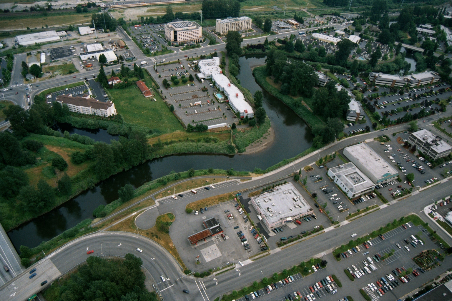
Aerial View of Suburban Development and Riparian Corridor Near Sea-Tac Airport
Aerial view showing a suburban area with hotels, office buildings, parking lots, and a meandering river or creek corridor with dense riparian vegetation. The image appears to document land use and development patterns near a waterway, potentially relevant to noise or environmental planning in the Sea-Tac Airport region of Washington State. -
 2001-06-22
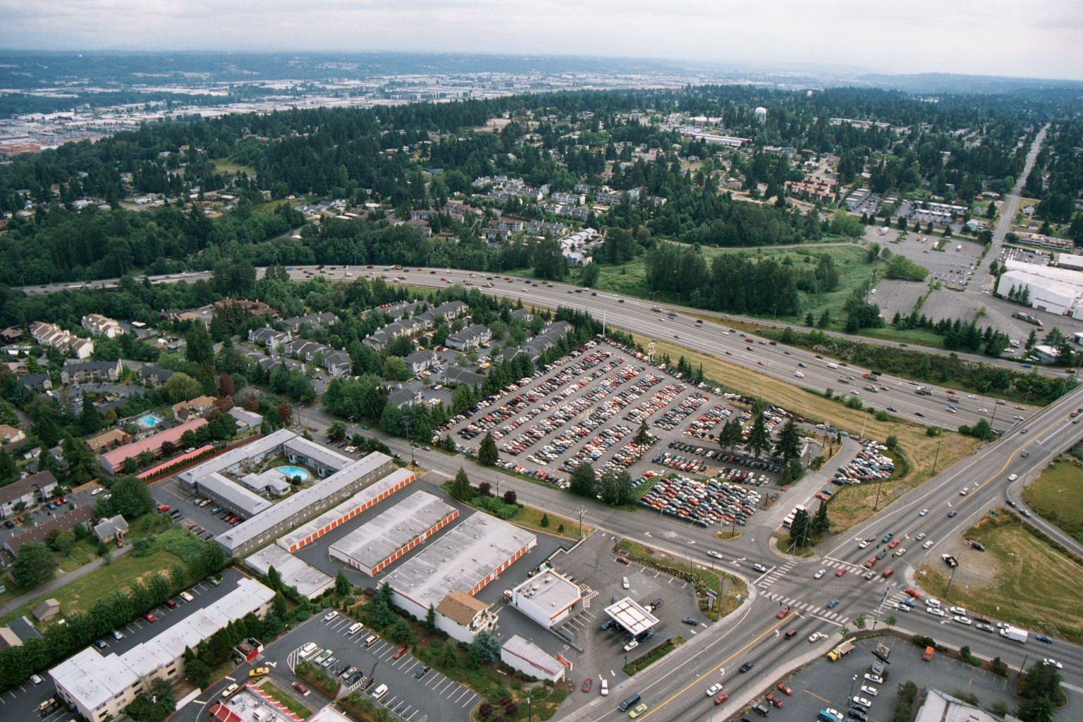
Aerial View of Public Storage Facility, Apartments, and Freeway in South King County
Aerial photograph showing a suburban landscape with a large self-storage facility bearing orange-and-white unit doors (consistent with Public Storage branding), adjacent apartment complexes, a used car lot, and a multi-lane freeway. The density of conifers, road layout, and general development pattern are consistent with the greater Sea-Tac/South King County, Washington area. -
 2001-06-22
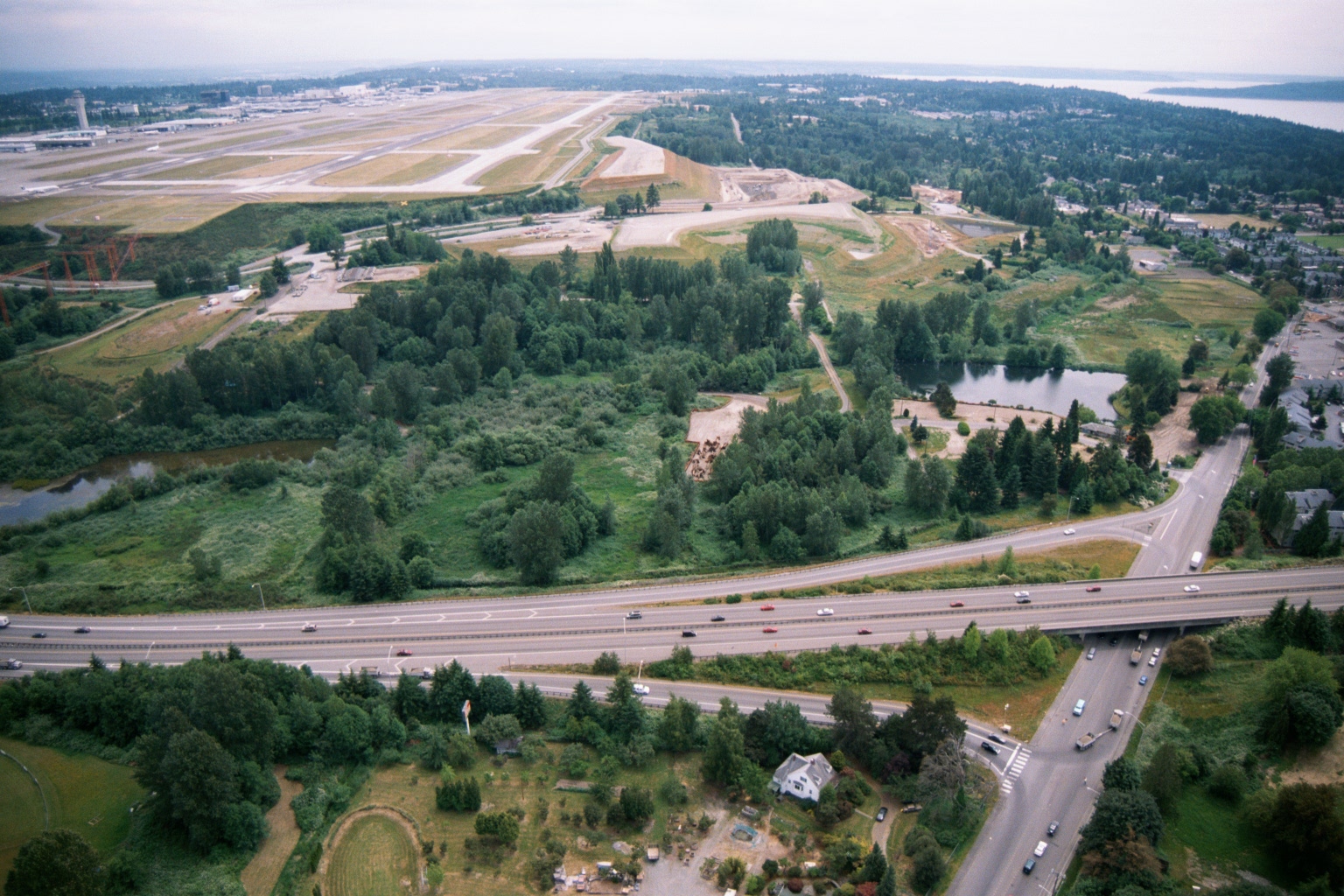
Aerial View of Sea-Tac Airport Runways, Terminal, and Surrounding Environs
Aerial photograph showing Seattle-Tacoma International Airport runways and terminal in the upper left, with a highway interchange (likely SR-509 or I-5 corridor) in the foreground and Puget Sound visible in the upper right. The image appears to document the airport's environs, including undeveloped green buffer areas and adjacent residential neighborhoods relevant to noise impact studies. -
-
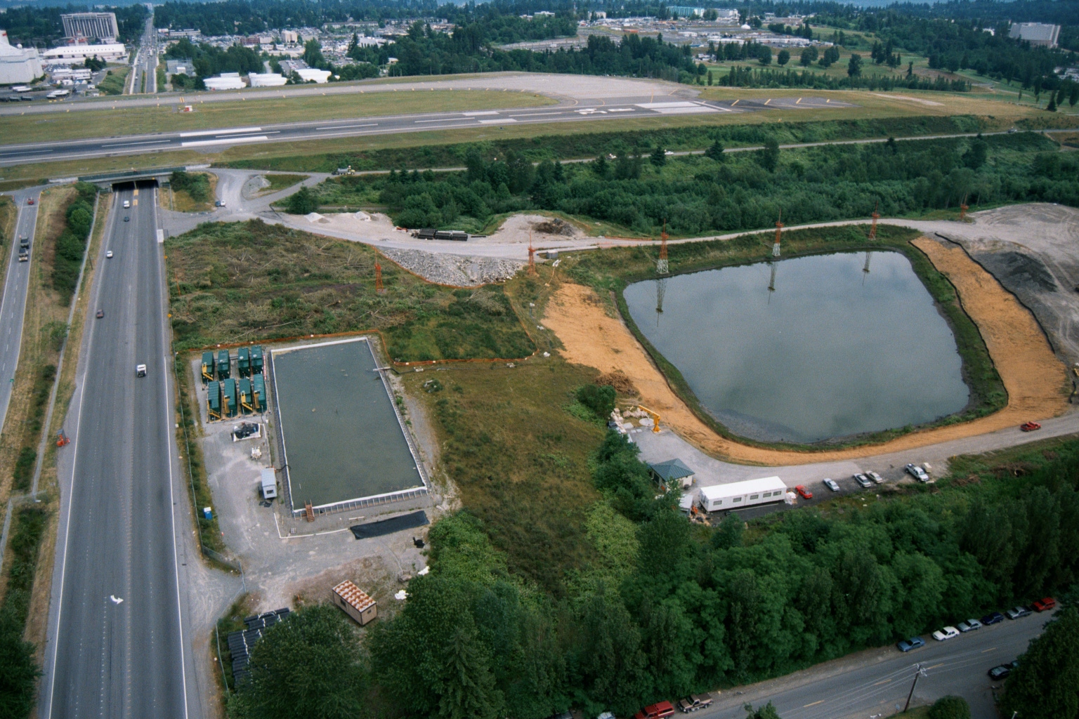 2001-06-22
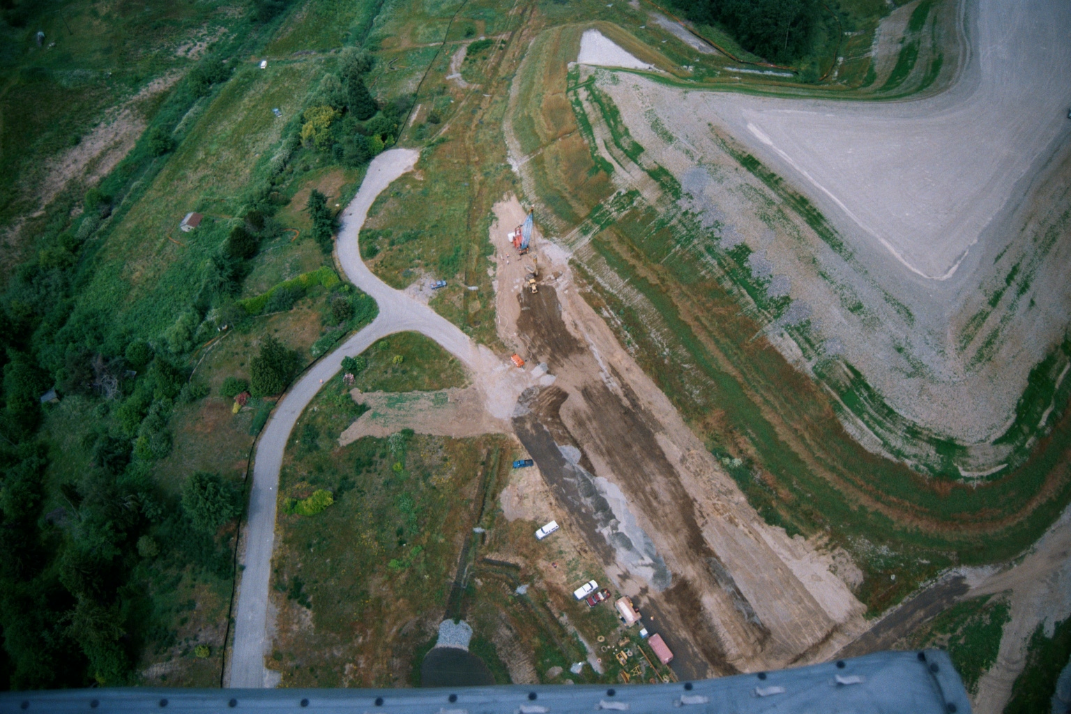
Aerial View of Highway Tunnel Portal, Retention Pond, and Sea-Tac Airport Runway Under Construction
Aerial photograph showing a highway with a tunnel portal, a rectangular concrete structure with green equipment units, a newly constructed retention/settling pond with orange sandy margins, and an airport runway in the background. The site appears to be an active construction project, likely stormwater or noise mitigation infrastructure, situated between a major freeway and an airport airfield. -
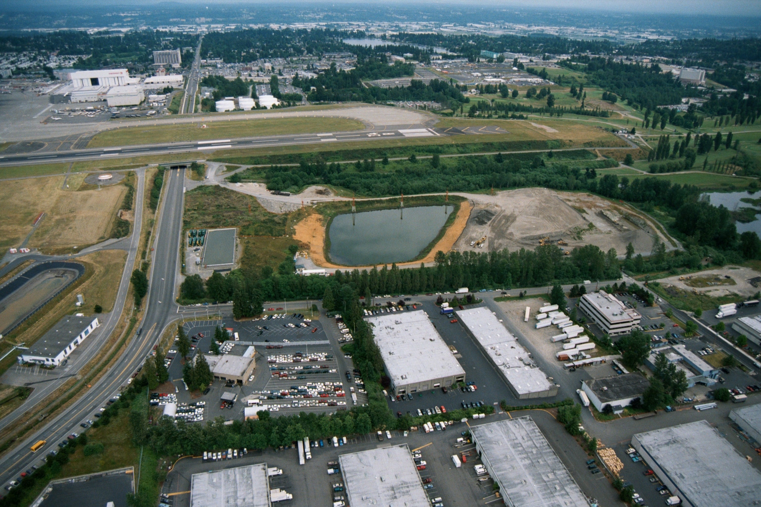 2001-06-22
Sea-Tac Airport Runway and Stormwater Pond Construction with Adjacent Industrial Facilities
Aerial photograph showing a runway and taxiway system in the upper portion of the frame, with a retention or stormwater pond under apparent construction or remediation in the mid-ground. The foreground shows warehouse and distribution facilities with truck loading areas, parking lots, and a multi-story office building, consistent with an airport-adjacent industrial zone. -
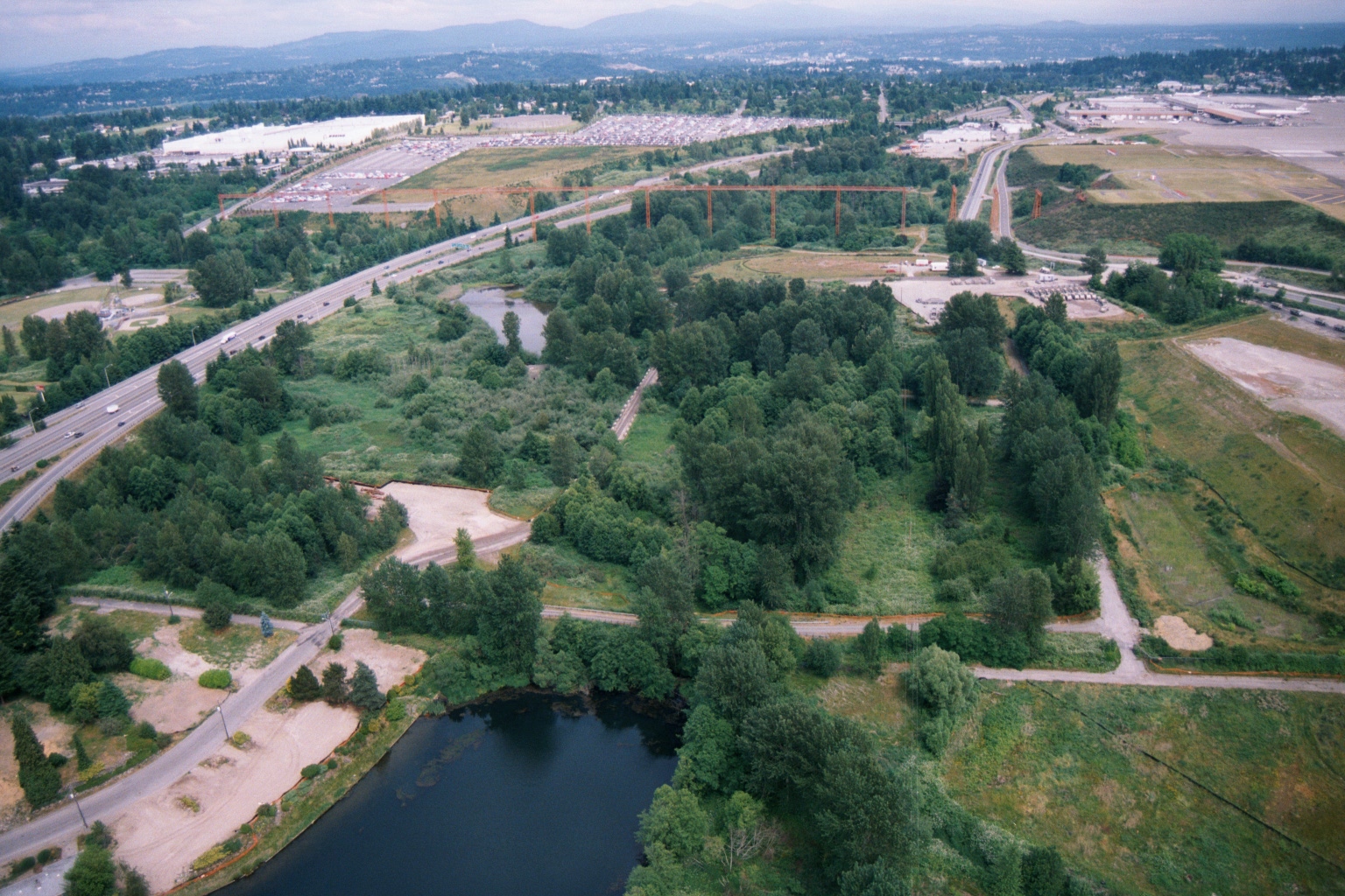 2001-06-22
Aerial View of Forested Wetland and Ponds Adjacent to Sea-Tac Airport During Construction
Aerial photograph showing a forested wetland area with ponds adjacent to a multi-lane highway and an airport facility visible in the background. Construction activity and graded earth are visible, suggesting active development or mitigation work in the area. -
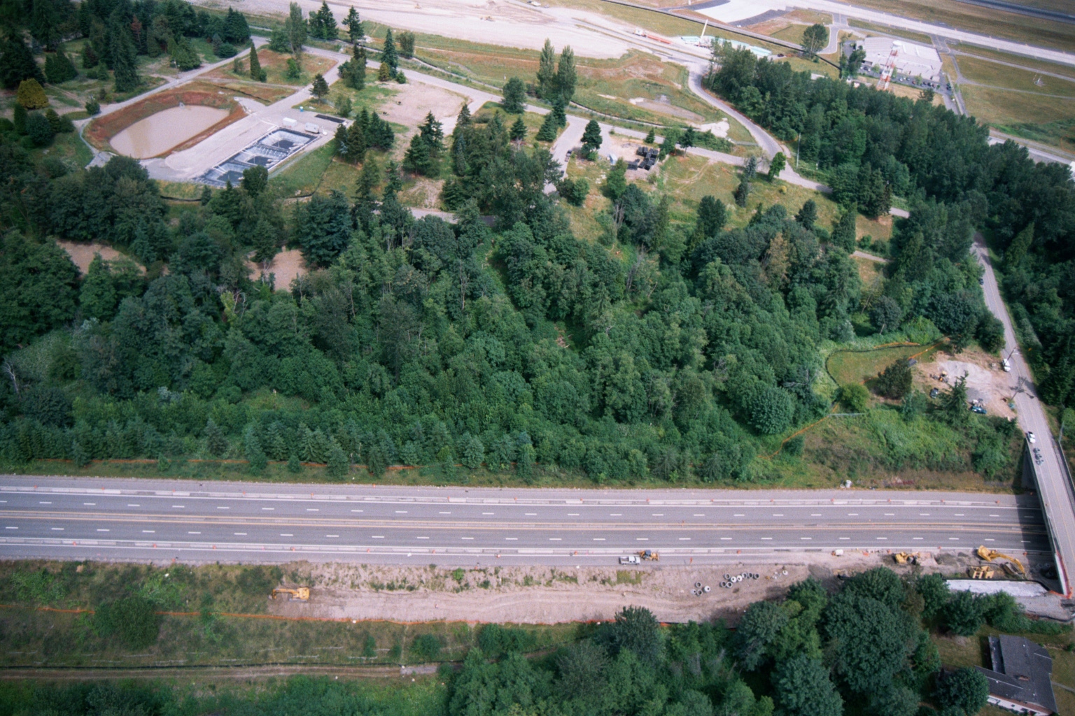 2001-06-22
Aerial View of Highway, Forested Buffer, Retention Ponds, and Airport Runway or Taxiway
Aerial photograph showing a multi-lane highway running diagonally across the frame, with a dense forested buffer zone to the north and active construction equipment visible along the roadway margin. A water treatment or retention facility with rectangular settling ponds is visible in the upper left, and what appears to be an airport runway or taxiway is visible at the top of the frame. -
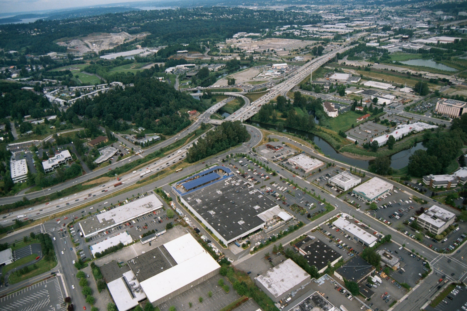 2001-06-22
Aerial View of Suburban Commercial Area With Freeway Interchange and Waterway
Aerial photograph showing a suburban commercial and retail area with large big-box stores, parking lots, and a multi-lane freeway interchange with on/off ramps. A river or waterway is visible to the right, and residential and industrial areas extend into the background. -
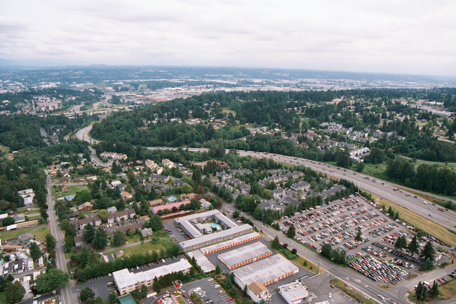 2001-06-22
Aerial View of Suburban Residential and Commercial Area Near Sea-Tac Airport
Aerial photograph showing a suburban residential and commercial area bisected by a multi-lane interstate highway, consistent with the greater Seattle/Sea-Tac region based on the Pacific Northwest vegetation, terrain, and urban development patterns. Visible features include a Public Storage facility (identifiable by orange-and-white branding), large parking lots, apartment complexes, and dense evergreen tree coverage stretching toward the horizon.