TagSea-Tac Airport(1855)
-
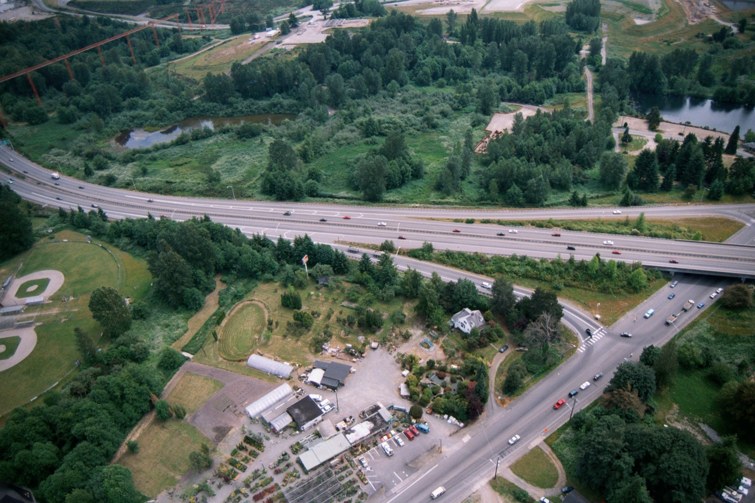 2001-06-22
Aerial Photograph – June 22, 2001
-
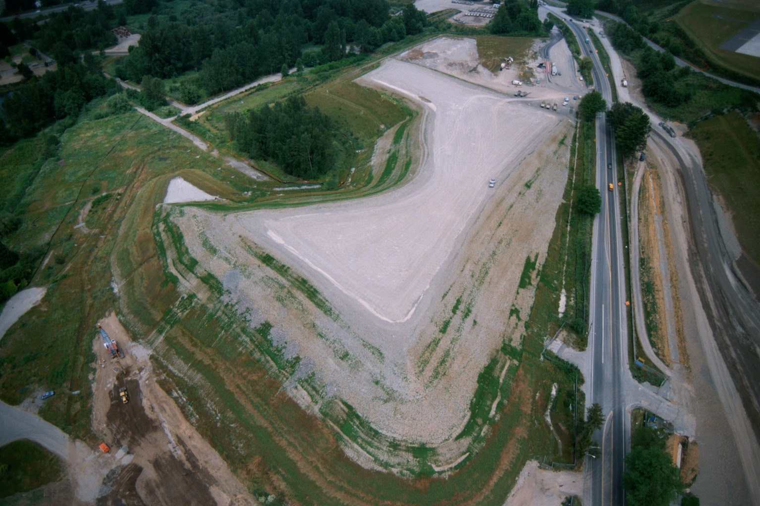 2001-06-22
Aerial Photograph Near Lora Lake, June 2001
-
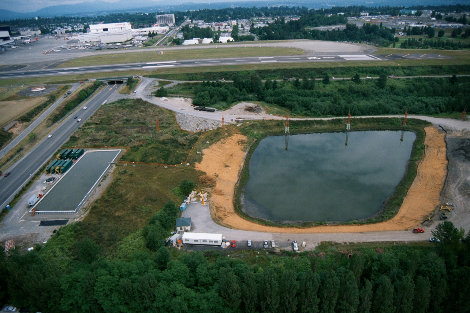 2001-06-22
Aerial View of Retention Pond Construction Near Sea-Tac Airport Runway
Aerial photograph showing a retention or settling pond under construction near an airport runway, with associated site infrastructure including what appears to be a treatment facility or staging area to the left. The airport runway, taxiways, and terminal buildings are visible in the background, consistent with Sea-Tac Airport environs. -
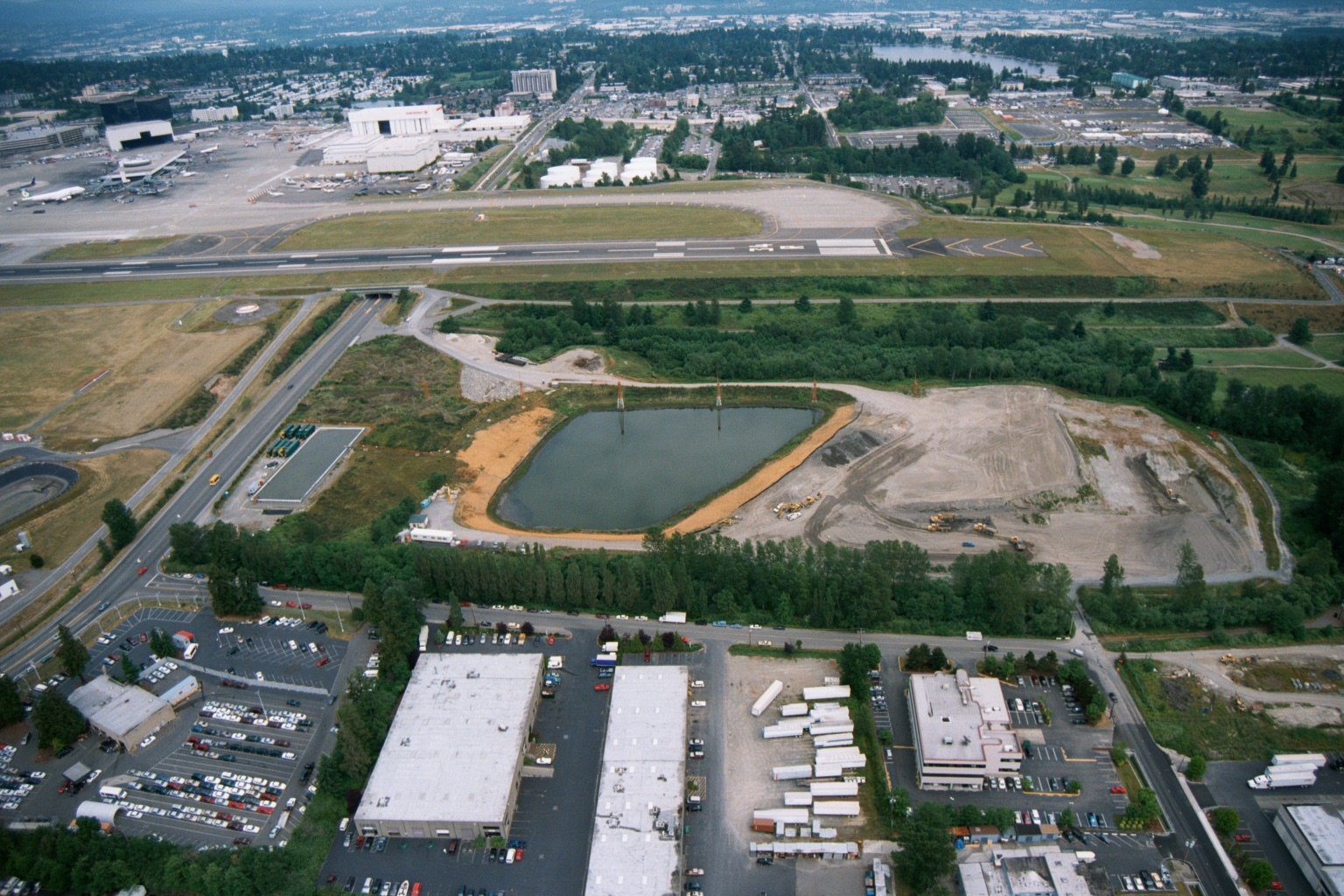 2001-06-22
Aerial View of Sea-Tac Airport Runway System and Stormwater Pond Under Construction
Aerial photograph looking north toward Seattle-Tacoma International Airport, showing a runway and taxiway system in the mid-ground, a large retention/stormwater pond under construction in the middle distance, and commercial/industrial development in the foreground. The Boeing manufacturing facilities and Renton area are visible in the upper background, consistent with the airport's geography south of Seattle. -
 2001-06-22
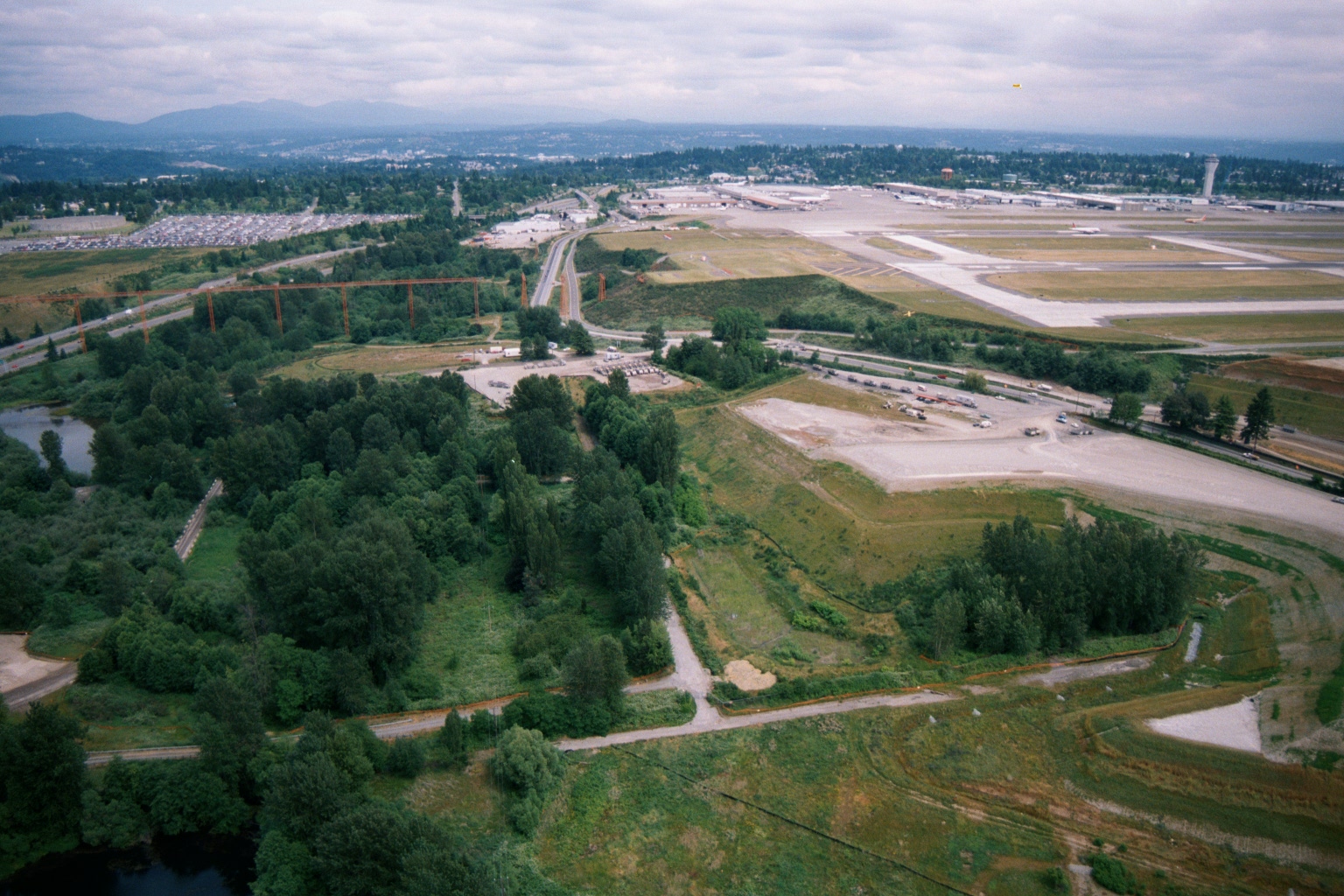
Sea-Tac Airport Aerial View Looking North Showing Runway Complex, Terminal, and Highway Interchange
Aerial photograph looking north/northeast showing Seattle-Tacoma International Airport's runway complex and terminal area in the upper right, with undeveloped green space, wetlands, and a major highway interchange visible in the foreground. Construction activity and a large parking lot are visible in the mid-ground, suggesting this may date from an airport expansion period. -
 2001-06-22
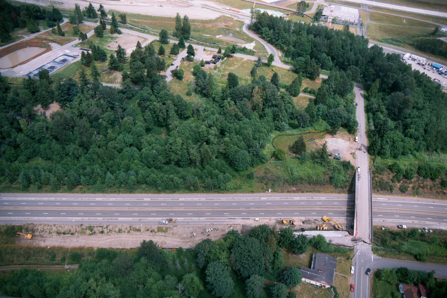
Aerial View of Highway Interchange Construction Near Airport Infrastructure
Aerial photograph showing a multi-lane divided highway with an overpass/interchange under active construction, with heavy equipment visible along the roadway. A large forested parcel and what appears to be airport-related infrastructure, including what may be a retention or treatment pond, are visible in the upper portion of the image. -
 2001-06-22
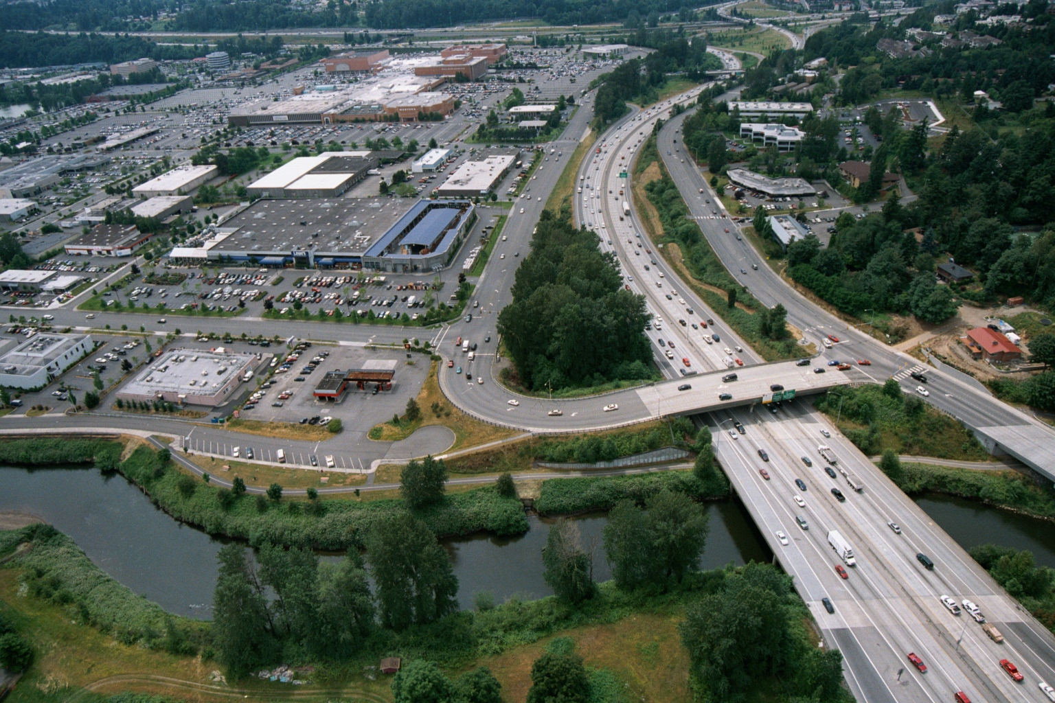
Aerial Photograph of Gilliam Creek Watershed
-
 2001-06-22
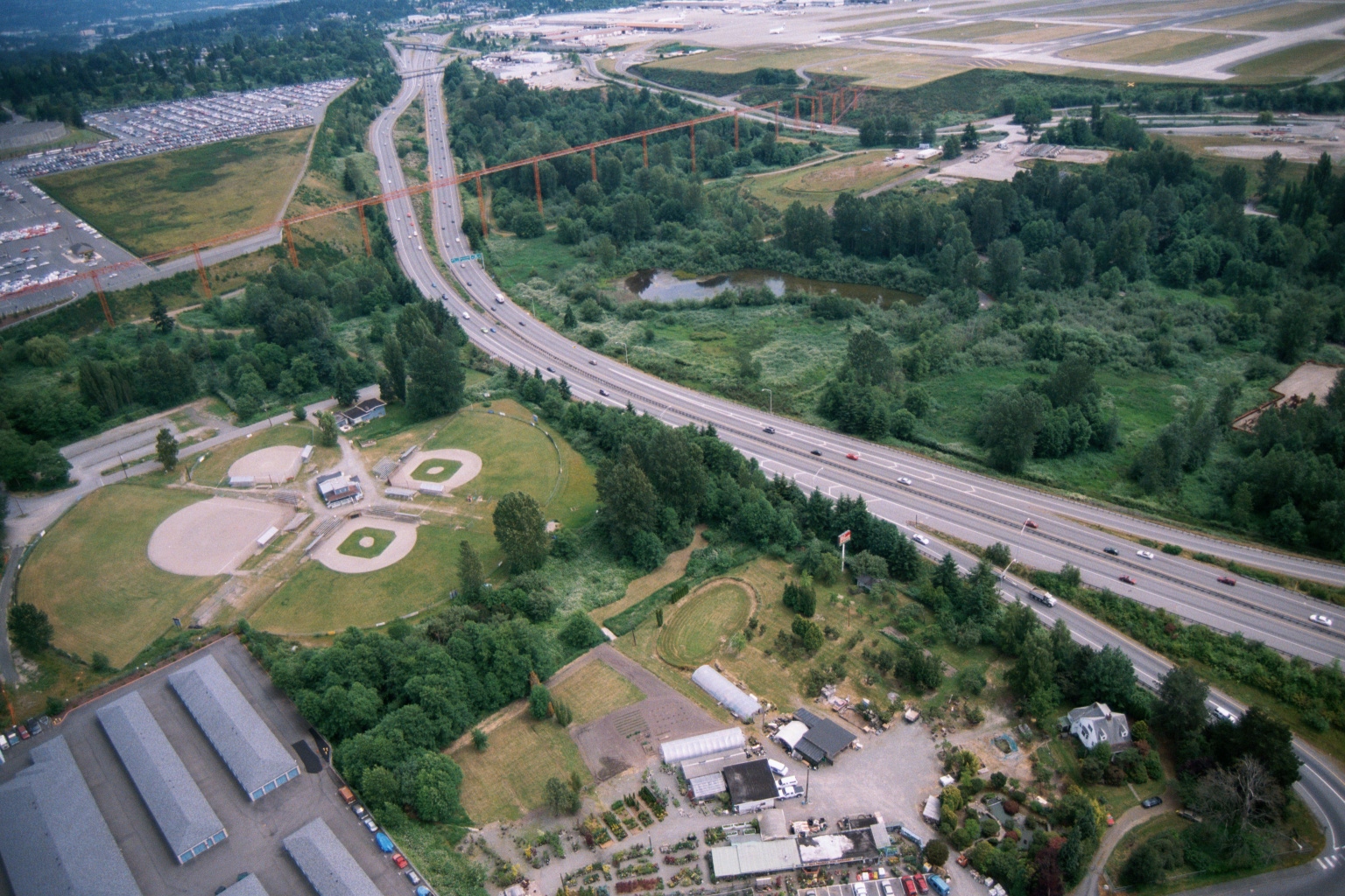
Aerial View of Highway Corridor With Transmission Towers Near Sea-Tac Airport
Aerial photograph showing a multi-lane highway (likely Interstate 5 or SR-99) running through a mixed landscape of ball fields, wetland ponds, and light industrial/nursery properties. Large orange high-voltage transmission tower structures are visible crossing the highway corridor, with what appears to be an airport runway environment in the upper right background. -
-
 2001-06-22
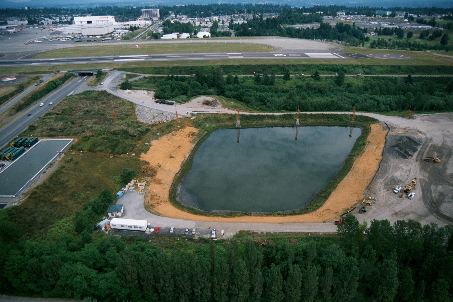
Aerial View of Retention Pond Under Construction at Sea-Tac Airport
Aerial photograph showing a large oval retention or settling pond under active construction, with construction equipment visible along its perimeter. In the background, an airport runway and taxiway are visible, along with a large white aircraft maintenance or assembly facility bearing a partially visible red logo consistent with a major airline.