Skip to content
  • STNI
  • Statistics
    • Ops and Passengers
      • King County International Airport (Boeing Field) Annual Operations
    • Financials
    • Aviation fuel uplift in the State of Washington 2018 – 2025
      • Aviation Fuel Tax Revenue in the State of Washington 1983-2025
      • Aviation Fuel Uplift at Sea-Tac Airport
    • Air Quality Monitoring
    • Flight Tracking
      • Flow and Flight Tracks
      • Five Year Comparison
      • Busiest Hours and Days
    • SEL Noise Reports & Graphs
      • About The Permanent Noise Monitors
      • Minutes of Quiet by Noise Monitor
      • Noise Events mapped
      • Noise Events (SEL)
    • Runways
    • Employees
    • Real Estate
      • Port Properties and Trees mapped
    • Parking
  • Events
  • Protest
    • Regular Events
    • Legislation 2026
    • Complain about a particular flight
    • Advocacy Organizations
    • Media Outlets
    • People
    • The Port of Seattle
      • Commission Meetings
      • Public Records Requests
      • StART
      • Highline Forum
    • Contact Your Electeds
  • Resources
    • FAQs
      • FAA Occurrences/Accidents/Indents
    • The SAMP
      • SAMP Public Comment Template
        • Two versions of Appendix K: NEPA/SEPA 2018 vs 2023
      • SAMP NTP: 31 projects by the numbers
      • SEPA Draft EIS (2026)
      • SAMP Record of Decision/FONSI (2025)
      • SAMP Draft EA (October 2024)
      • 2018 Scoping
    • Port Packages
      • Port Package Property Costs
      • Port Packages mapped
      • The Port Package Explainer
      • So you want a (first-time) Port Package? Start here
      • Port Package Looker Upper
      • How do I determine if I have a Port Package or Avigation Easement?
      • Progress on Port Package Update legislation
      • Having a Port Package Problem?
      • Port Package Site Visit Follow-Up
    • Document Library
    • Explainers
      • The Airport Law Cheat Sheet
      • The Grant Explainer
    • External Articles
    • History
      • Timeline
      • The Sea-Tac Communities Plan
        • Sea-Tac Communities Plan – Planning Maps
      • PSRC Third Runway Decision Process
    • Studies
    • Videos
  • Stories
  • Mission
  • Subscribe
  • Contact
Scroll down to content

Get InformedStay Informedx

I understand that you will never share my information with anyone, you will only use it to keep me updated on relevant events and that I may unsubscribe at any time.

STNI

STNISea-Tac Noise.Info

  • Solve for Sea-Tac. Solve for every airport.
  • Since 2016, working to obtain justice for everyone living under the flight path.
  • Less Noise. Cleaner Air. Better Public Health. Compensation.
  • Everything you think you know about the airport is wrong.

TagSea-Tac Airport(1835)

Advanced Search Options

  • Dates
  • Media
    • External Articles
    • Images
    • PDFs
    • Video
    • Audio
  • Order By
  • 2001-06-22

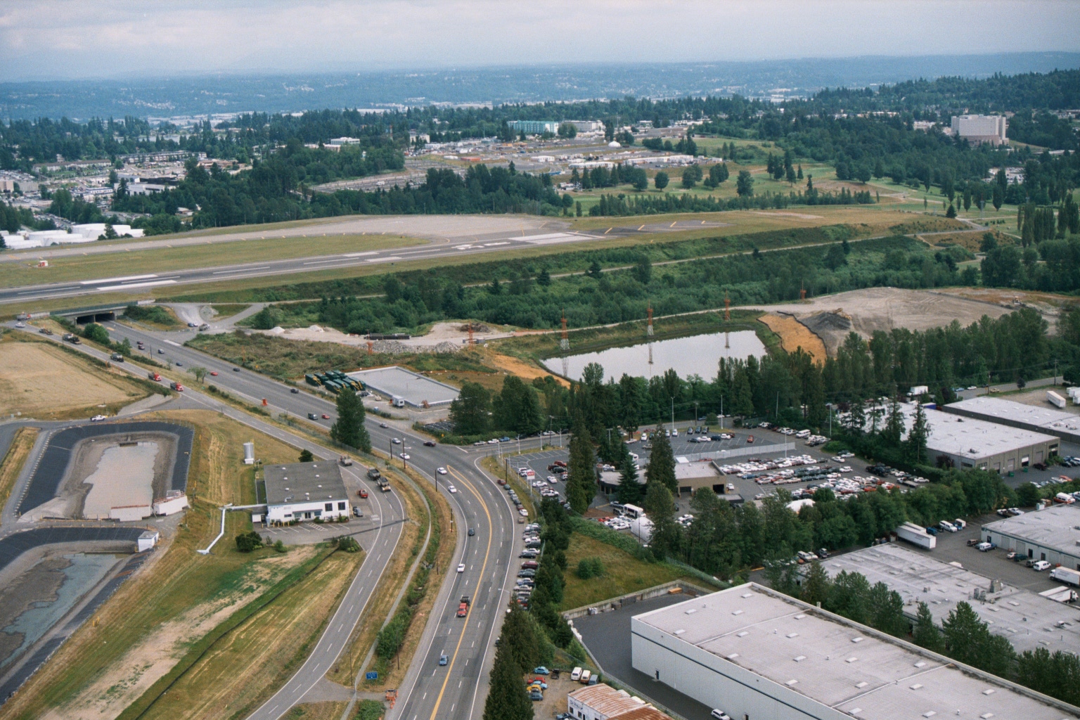
    Aerial View of Sea-Tac Airport Runway Strip, Retention Ponds Under Construction, and Adjacent Industrial Facilities

    Aerial photograph showing a runway strip, retention ponds under construction, and adjacent industrial/warehouse facilities. A multi-lane road curves through the foreground, with residential and commercial development visible in the background.
    TagsAirport Expansion, Construction, Runways, Sea-Tac AirportFolderWatershed Aerial Photos
  • 2001-06-22

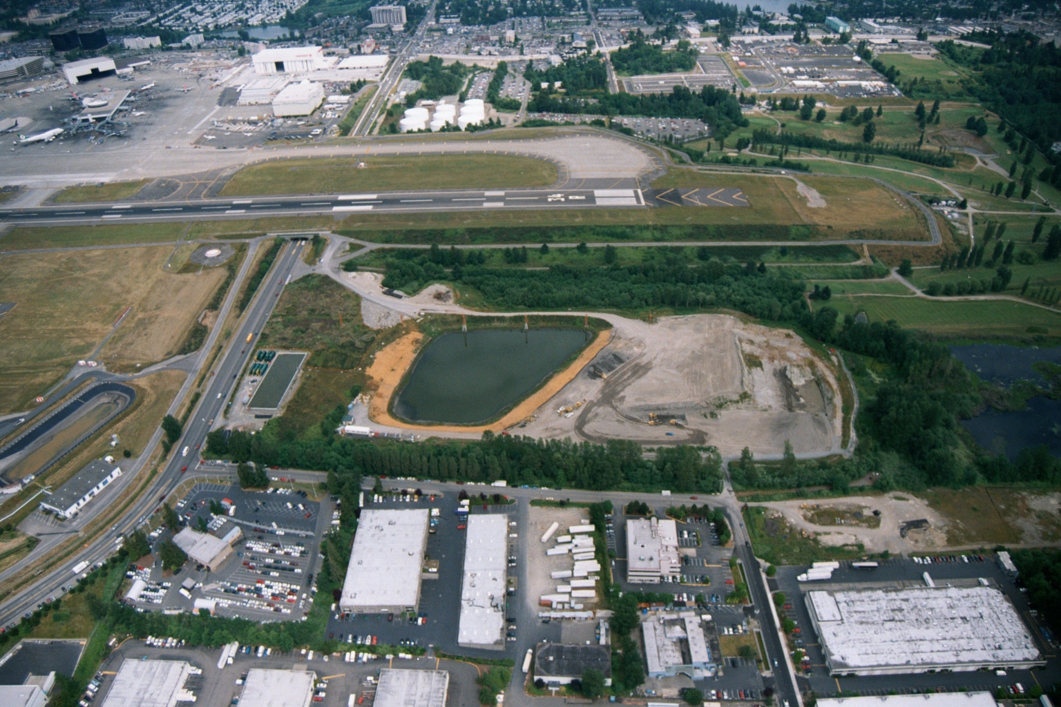
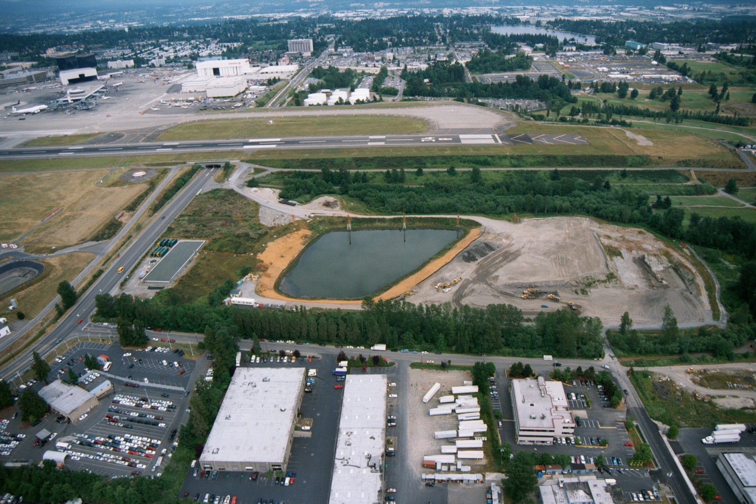
    Sea-Tac Airport Runways with Retention Pond Under Construction and Adjacent Warehouse Buildings

    Aerial photograph showing Sea-Tac Airport runways and taxiways in the upper portion of the frame, with a retention/detention pond under construction in the middle ground and commercial/industrial warehouse buildings in the foreground. The image appears to document airport-adjacent land use and stormwater infrastructure, likely relevant to airport expansion or environmental compliance activities.
    TagsAirport Expansion, Construction, Runways, Sea-Tac Airport, StormwaterFolderWatershed Aerial Photos
  • 2001-06-22

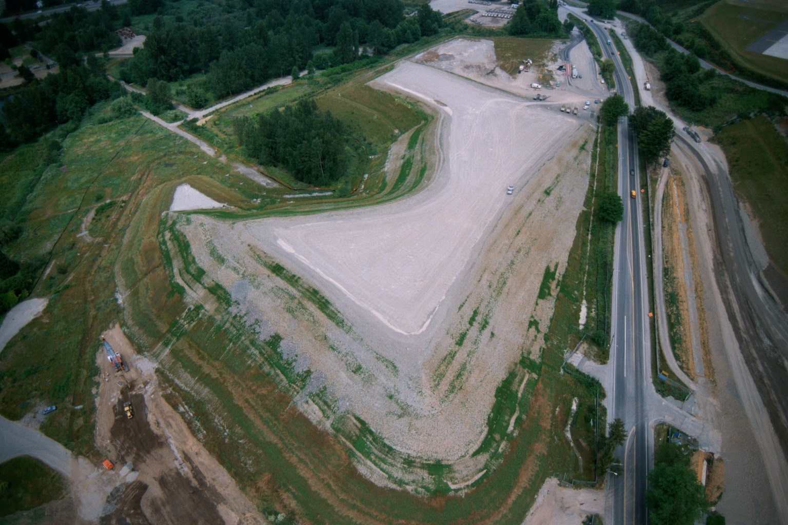
    Aerial View of Earthwork and Stormwater Basin Construction Near Sea-Tac Airport Runways

    Aerial photograph showing large-scale earthwork and grading activity adjacent to airport runways, with what appears to be a stormwater detention or treatment facility (rectangular basin) under construction in the foreground. Construction equipment is visible across the graded area, and the site borders a wooded residential neighborhood and a road intersection.
    TagsConstruction, Sea-Tac Airport, SR509, StormwaterFolderWatershed Aerial Photos
  • 2001-06-22

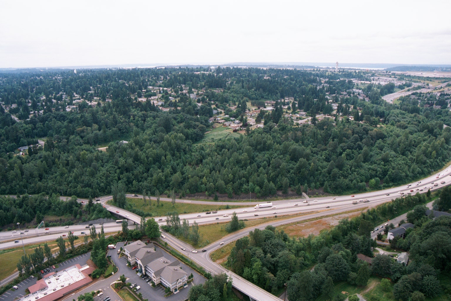
    Aerial View of Freeway Interchange Near Puget Sound, South King County

    Aerial photograph showing a multi-lane freeway (likely I-5 or SR-99 in the Sea-Tac/south King County area) with an interchange, surrounding dense conifer forest, low-density residential development, and a small commercial building complex in the foreground. A body of water consistent with Puget Sound is faintly visible in the background, suggesting this location is west of the airport corridor.
    Tagsaircraft, Puget Sound, Sea-Tac Airport, South King CountyFolderWatershed Aerial Photos
  • 2001-06-22

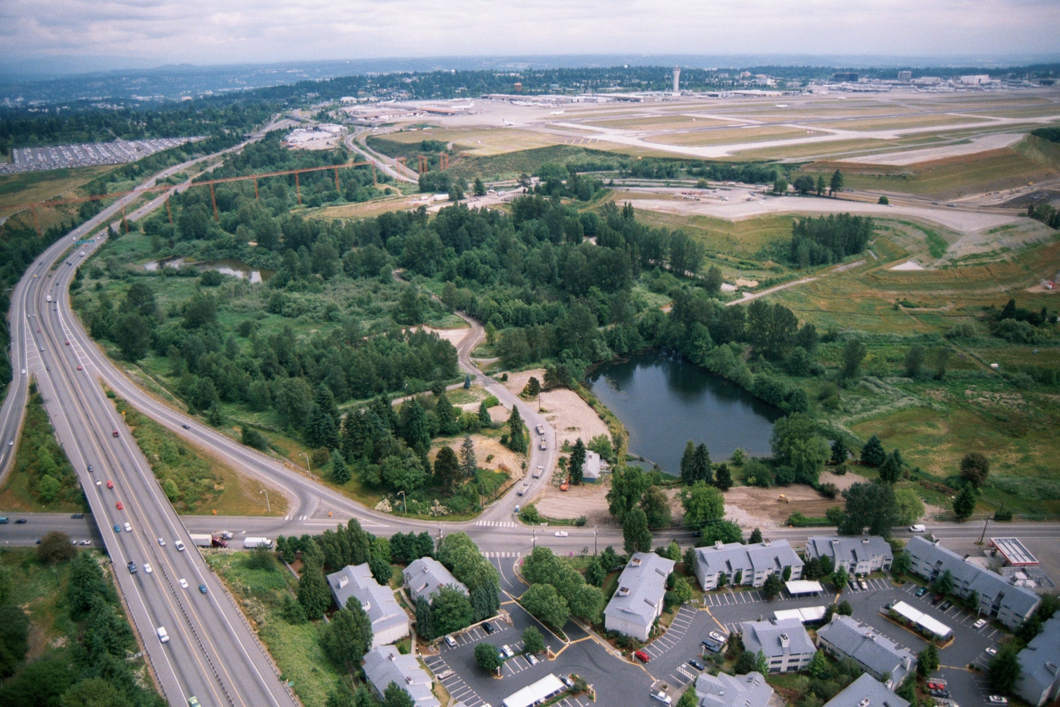
    Aerial View of Sea-Tac Airport Showing Runways, SR-99 Corridor, and Adjacent Residential Land Uses

    Aerial photograph looking north toward Seattle-Tacoma International Airport (Sea-Tac), showing the airport's runways and terminal area in the background. In the foreground are a multi-lane highway (likely SR-99 or I-5 corridor), a wooded green buffer zone with a retention pond, and a residential apartment complex, illustrating the airport's relationship to surrounding land uses relevant to noise-policy planning.
    TagsLand Use, Noise, Runways, Sea-Tac AirportFolderWatershed Aerial Photos
  • 2001-06-22

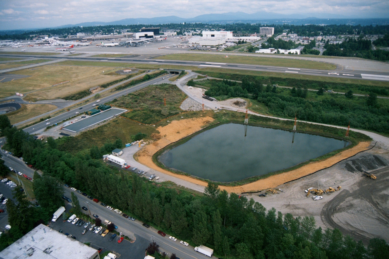
    Aerial View of Stormwater Retention Pond Construction Adjacent to Sea-Tac Airport

    Aerial photograph showing a large rectangular retention or stormwater pond under active construction adjacent to Seattle-Tacoma International Airport. Airport runways, terminal buildings, and aircraft are visible in the background, along with construction equipment and a road corridor in the foreground.
    TagsConstruction, Sea-Tac Airport, StormwaterFolderWatershed Aerial Photos
  • 2001-06-22

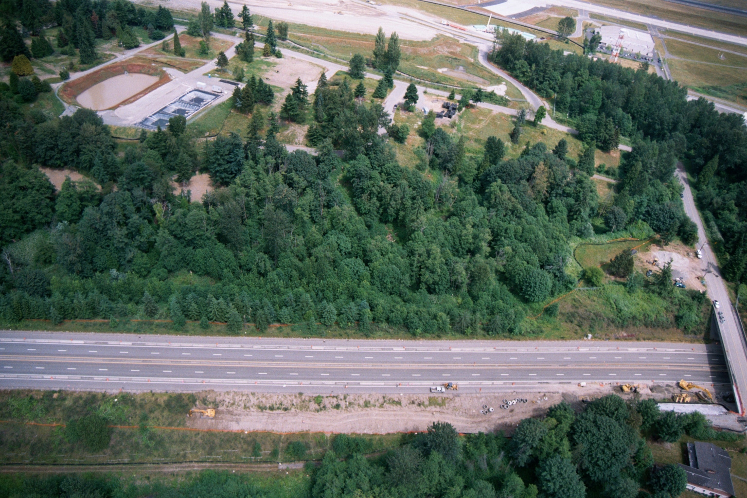
    Aerial View of Highway, Forested Buffer, Retention Ponds, and Airport Runway or Taxiway

    Aerial photograph showing a multi-lane highway running diagonally across the frame, with a dense forested buffer zone to the north and active construction equipment visible along the roadway margin. A water treatment or retention facility with rectangular settling ponds is visible in the upper left, and what appears to be an airport runway or taxiway is visible at the top of the frame.
    Tagsaircraft, Airports, Construction, Sea-Tac Airport, SR509FolderWatershed Aerial Photos
  • 2001-06-22

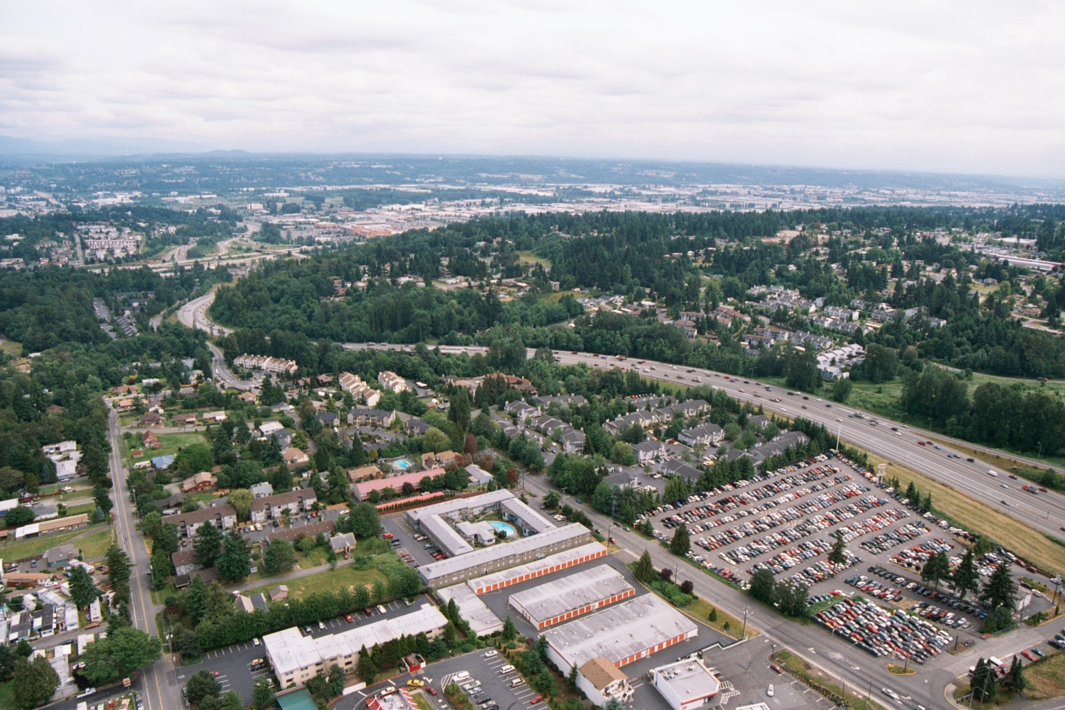
    Aerial View of Suburban Residential and Commercial Area Near Sea-Tac Airport

    Aerial photograph showing a suburban residential and commercial area bisected by a multi-lane interstate highway, consistent with the greater Seattle/Sea-Tac region based on the Pacific Northwest vegetation, terrain, and urban development patterns. Visible features include a Public Storage facility (identifiable by orange-and-white branding), large parking lots, apartment complexes, and dense evergreen tree coverage stretching toward the horizon.
    TagsLand Use, Map, Parking, Sea-Tac AirportFolderWatershed Aerial Photos
  • 2001-06-22

    Aerial Photograph Near Lora Lake, June 2001

    Tagsaircraft, Sea-Tac AirportFolderWatershed Aerial Photos
  • 2001-06-22

    Aerial View of Sea-Tac Airport Runway System and Stormwater Pond Under Construction

    Aerial photograph looking north toward Seattle-Tacoma International Airport, showing a runway and taxiway system in the mid-ground, a large retention/stormwater pond under construction in the middle distance, and commercial/industrial development in the foreground. The Boeing manufacturing facilities and Renton area are visible in the upper background, consistent with the airport's geography south of Seattle.
    TagsAirport Expansion, Construction, Runways, Sea-Tac Airport, StormwaterFolderWatershed Aerial Photos

Posts pagination

Page 1 … Page 126 Page 127 Page 128 Page 129 Page 130 … Page 184
Sidebar On/Off

Upcoming Events

  • Burien Airport Committee Meeting September 15, 2026
    Add to CalendarMTuesday Sep 15: 6:00pm
    400 SW 152nd St, Burien, WA 98166
    Burien airport committee 15 sep 2026 agenda pdf pdf

    a) Part 150 Noise Study (Emily Inlow-Hood) — 15 minutes
    b) SAMP Update and Next Steps (Brian Davis and Sarah Moore) — 15 minutes
    c) Legislative Updates — 10 minutes
       • SCA (Sarah Moore)
       • Work with Sen. Orwall (Brian Davis)
    d) StART Reorganization (Jeff Harbaugh and Karen Veloria) — 10 minutes

    [...]

[See all...]


Help study childhood asthma. Get free HEPA filter!

read more...

Issues

Sea-Tac Airport is currently undergoing the largest and longest expansion in its history, collectively known as the Sustainable Airport Master Plan (SAMP). Some of it you can already hear, but you’re probably not aware of what it all means. Here’s what you need to know.
read more...

Read This!

As the source for federal transportation grants, the Puget Sound Regional Council was charged with developing a system to meet the growing need for commercial aviation. When the search for a second airport failed, they authorized the Port of Seattle to build the Third Runway, with a mandate to develop a noise abatement and mitigation program. In their effort to stop the Third Runway, the ACC argued over every detail of the Port's efforts--including property buyouts and sound insulation. The dispute was meant to be settled by a three member Expert Arbitration Panel. This is their final report. It finds 2-1, that the Port's program was insufficient in several respects. Despite that, funding for the Third Runway was approved by the PSRC, and the 'Port Package' program, proceeded largely unchanged. Expert Arbitration Panel's final decision finding that the Port of Seattle had not shown sufficient reduction in real on-the-ground noise impacts to satisfy noise reduction conditions required for approval of a third runway at Sea-Tac International Airport. The majority decision concluded the Port's noise abatement programs were insufficient despite being impressive in scope.
continue...

The Podcast!

Subscribe to the only podcast devoted to policies, politics, history, impacts for people living under the flight path everywhere. It’s definitely not just about noise!
  • Sea-Tac Noise.Info
  • Connect with STNI

    • Subscribe
    • Port Package Problem?
    • Donate
    • Podcast
    • Socials
      • Facebook
      • X (Twitter)
      • Bluesky
      • Instagram

    "Timothy Larson UW DEOHS seminar flyer — mobile monitoring of traffic emissions and jet aircraft impacts" — , 2016

  • Learn

    • Frequently Asked Questions
    • Explainers
    • Youtube
    • Research Requests
    • Make a complaint
  • Goals

    Fulfill the promises of 1976:
    • Compensation
    • Reduced noise
    • Improved air quality
    • Environmental remediation
Login/Register
©2026•Data Privacy

Message

We use cookies to provide basic functionality. We also provide access to search engines in order to provide site analytics. We do not sell or share your data.
V V