TagSea-Tac Airport(1835)
-
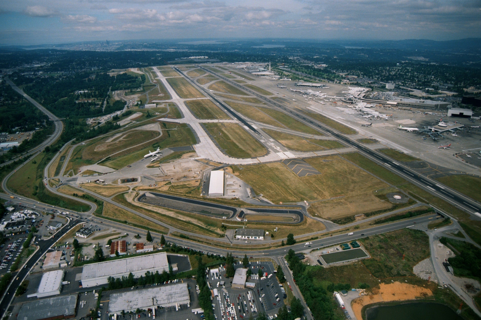
Sea-Tac Airport Aerial View Showing Parallel Runways, Terminal Complex, and Seattle Skyline
Aerial photograph looking northward over Seattle-Tacoma International Airport showing the parallel runway configuration, terminal complex with aircraft at gates on the right, and the downtown Seattle skyline visible in the upper left background. The image appears to date from a period when the third runway (center-left) was under construction or newly completed, consistent with Sea-Tac's mid-to-late 1990s or early 2000s expansion era. -
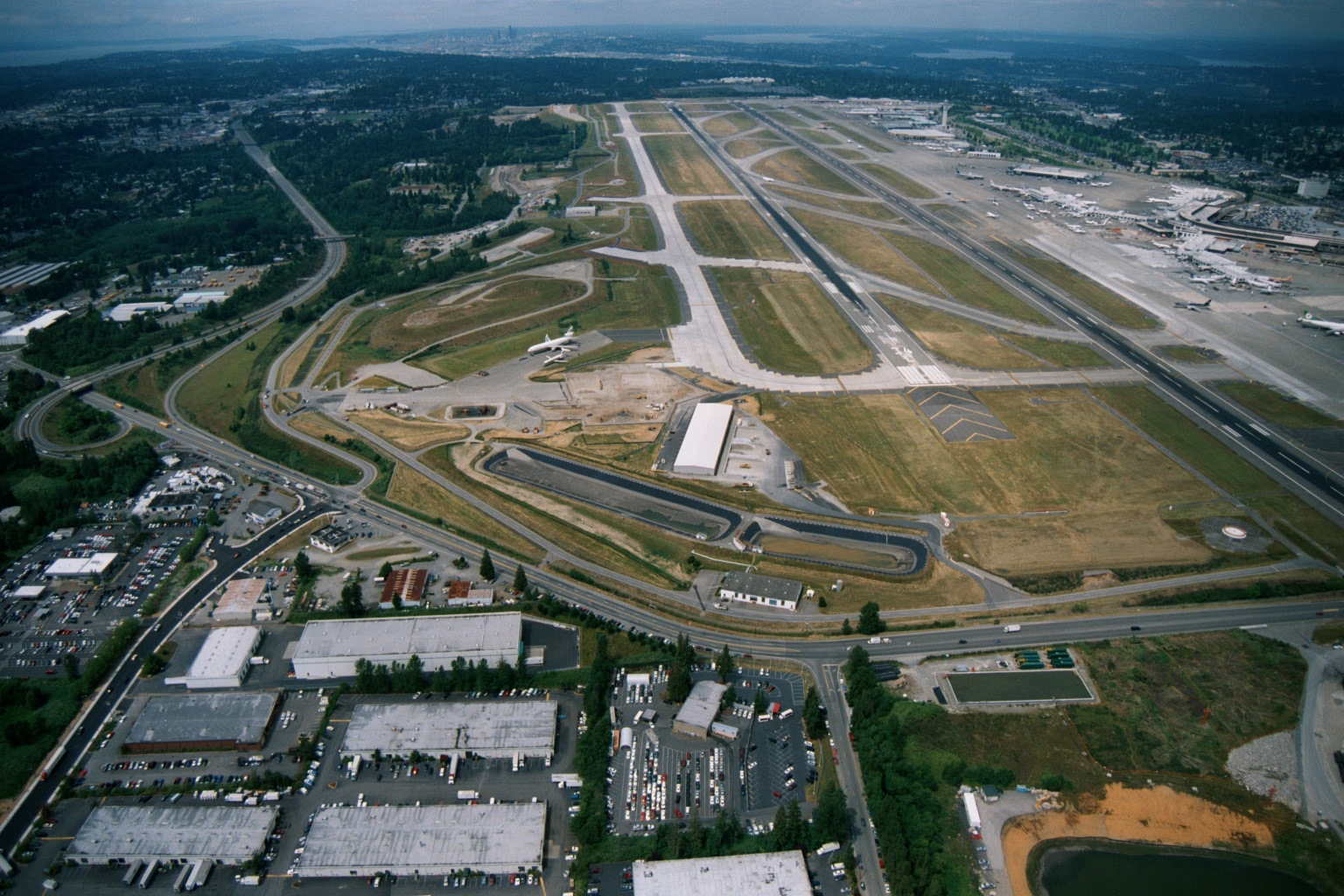
Sea-Tac Airport Aerial View Looking North, with Parallel Runways, Terminal Gates, and Seattle Skyline
Aerial photograph looking northward over Seattle-Tacoma International Airport (Sea-Tac), showing the parallel runway configuration, terminal gates with aircraft at jetways, surrounding industrial/commercial development, and the Seattle skyline and Puget Sound visible in the background. The image appears to date from the late 1980s or 1990s based on the airport layout and visible construction activity near the airfield. -
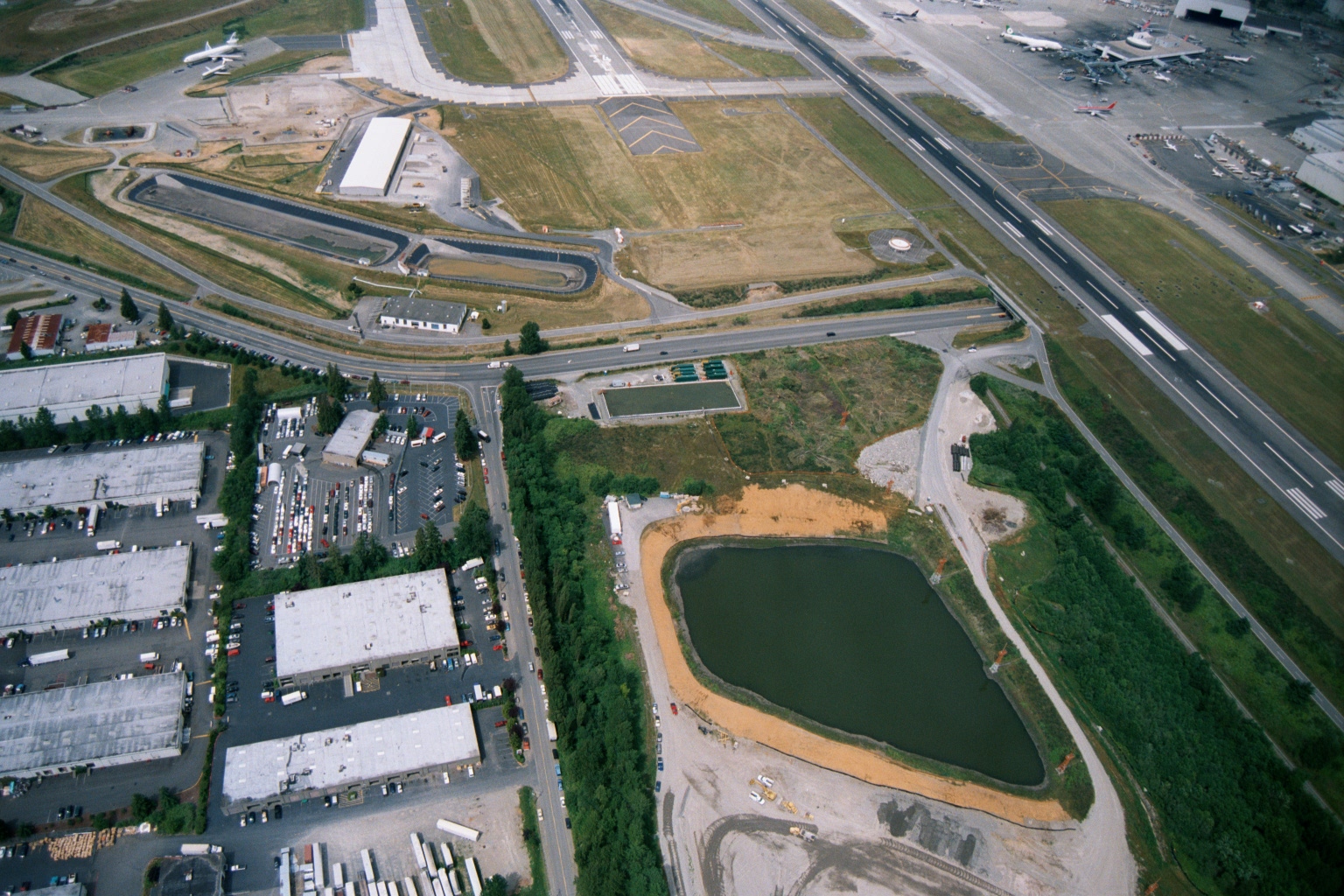
Sea-Tac Airport Perimeter Aerial View with Stormwater Retention Pond
Aerial photograph showing the southern or western perimeter of a major commercial airport, with runways, taxiways, and terminal gates visible alongside an industrial/warehouse district. A newly constructed stormwater retention pond with exposed sandy berms is prominent in the mid-ground, consistent with airport drainage or environmental mitigation infrastructure. -
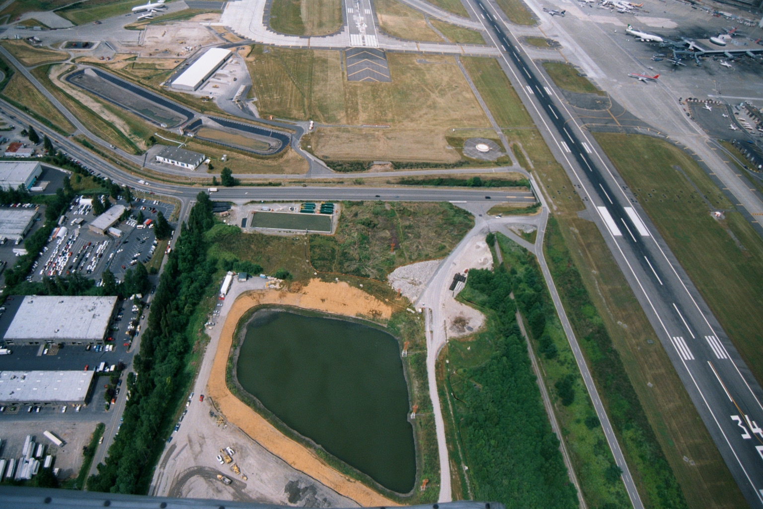
Sea-Tac Airport Aerial View With Runway 34 Threshold and Stormwater Retention Pond Under Construction
Aerial photograph showing Seattle-Tacoma International Airport infrastructure, including a runway threshold marked '34' visible in the lower right, active aircraft at gates on the right side, and a large stormwater retention pond under construction in the foreground with exposed sandy soil. The image likely documents environmental mitigation or drainage infrastructure development adjacent to airport operations. -
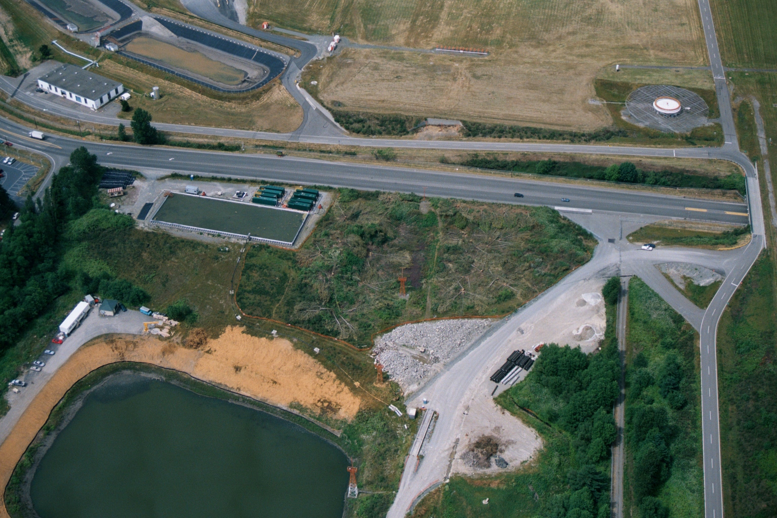
Aerial View of Highway Intersection With Construction Activity and Retention Pond Near Airport Facilities
Aerial photograph showing a highway intersection with construction or land-clearing activity, a retention pond, green containment structures, and what appears to be industrial or airport-related facilities. No visible text, logos, or date information is present in the image. -
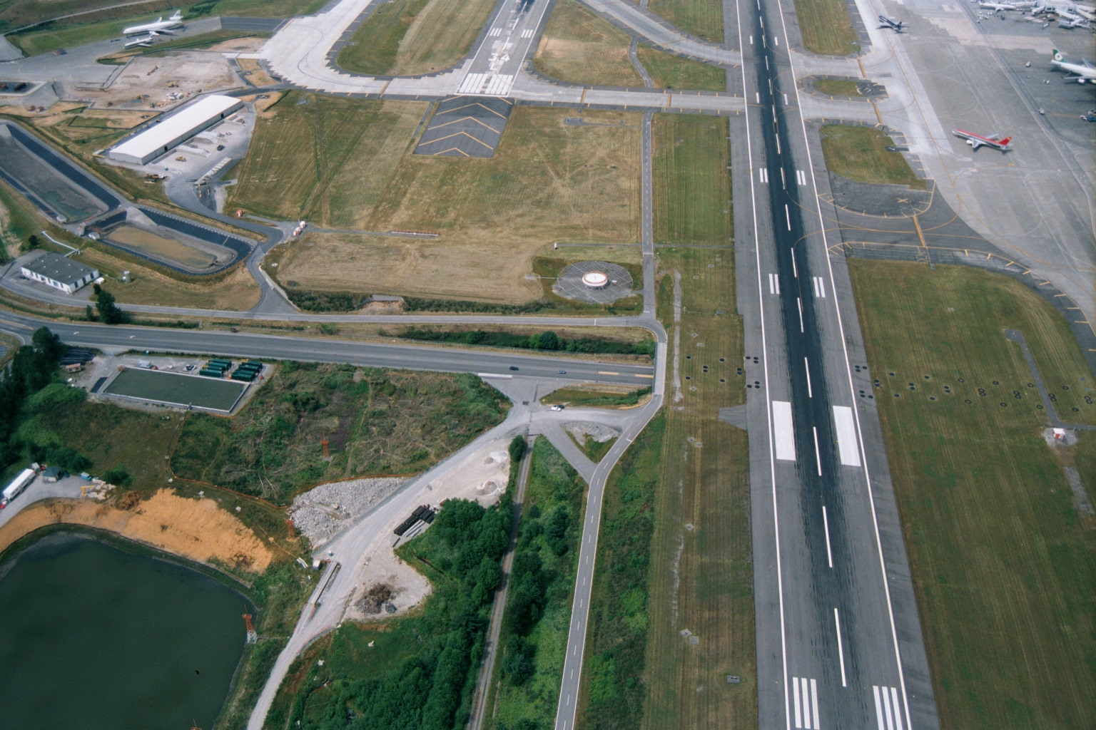
Sea-Tac Airport Runway and Taxiway Aerial View with Construction Activity
Aerial photograph showing a major airport runway with standard white threshold and centerline markings, parallel taxiways, and what appear to be commercial aircraft parked at gates visible in the upper right. Construction activity and a retention pond are visible in the lower left, suggesting active infrastructure development or expansion work. -
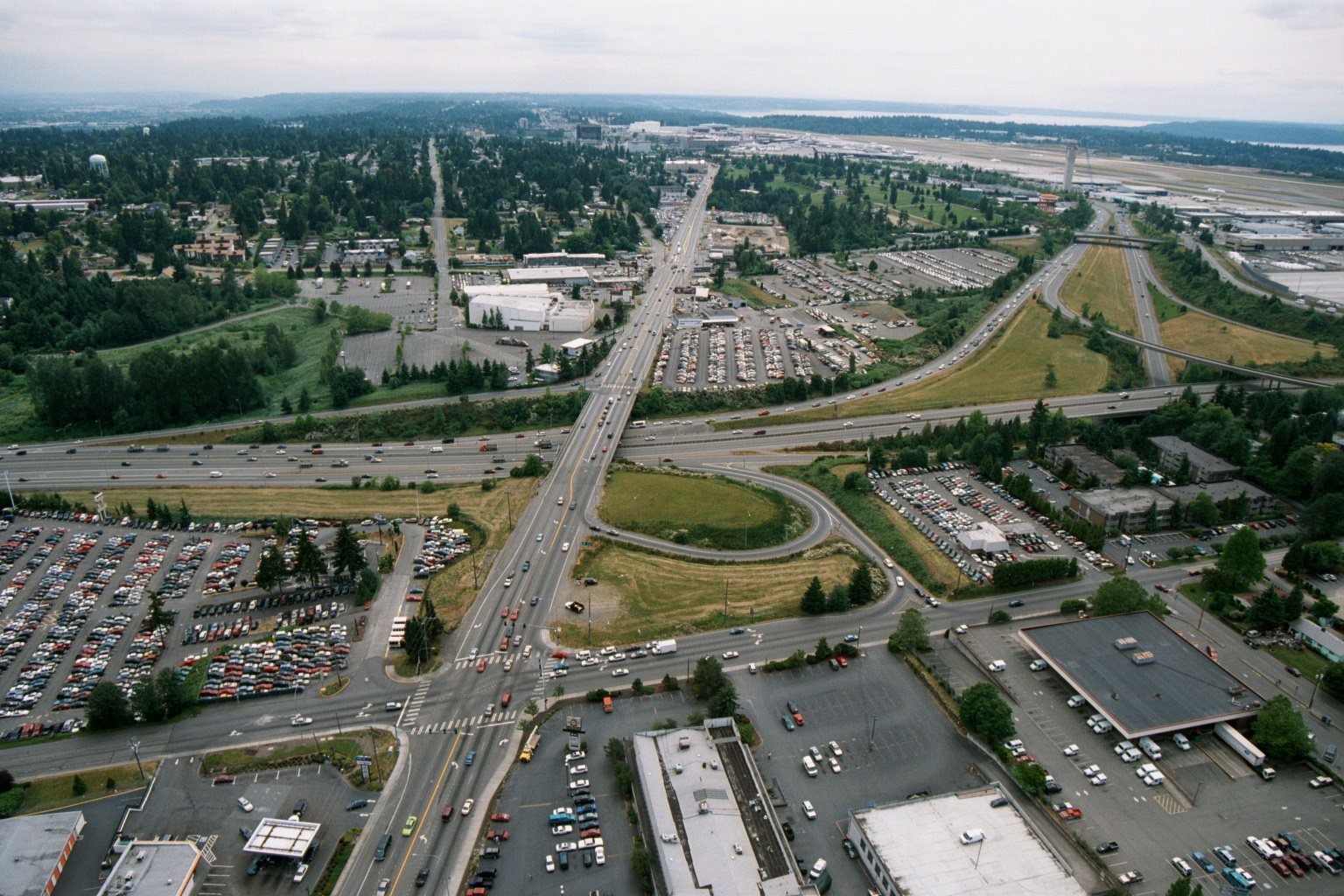
Aerial View of Highway Interchange Near Sea-Tac Airport, 1970s–1980s
Aerial photograph looking northward toward Seattle-Tacoma International Airport (visible runway and terminal area in background right), showing a major highway interchange—likely International Boulevard (SR-99) crossing Interstate 5—with surrounding commercial parking lots, auto dealerships, and suburban development. The image appears to be from the 1970s or early 1980s based on vehicle styles and development density, consistent with a Sea-Tac Airport noise-policy or planning archive. -
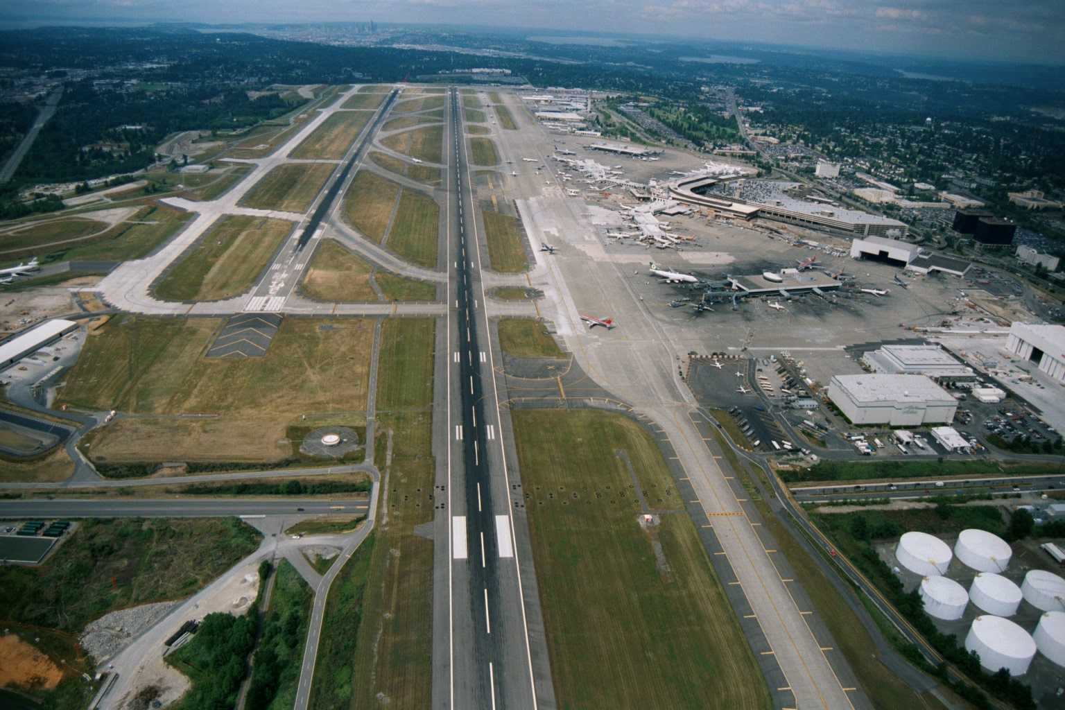 2001-06-22
Aerial View of Sea-Tac Airport Looking North Toward Seattle and Puget Sound
Aerial photograph looking northward over Seattle-Tacoma International Airport, showing parallel runways, terminal complex with gates and aircraft at jetways, fuel storage tanks in the lower right, and the Seattle skyline and Puget Sound visible in the background. The image appears to date from the 1990s based on terminal configuration and aircraft liveries visible at the gates. -
 2001-06-22
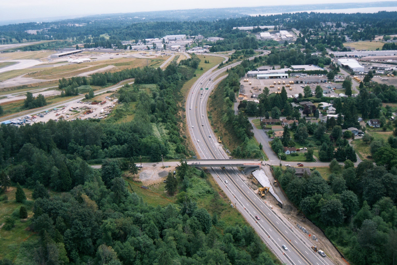
Aerial View of Highway Construction Near Sea-Tac Airport
Aerial photograph showing a multi-lane highway (likely Interstate 5 or SR-518) undergoing construction or widening near what appears to be Seattle-Tacoma International Airport, visible in the upper left with its runways and terminal facilities. A bridge overpass is under construction, with heavy equipment visible alongside the roadway corridor. -
 2001-06-22
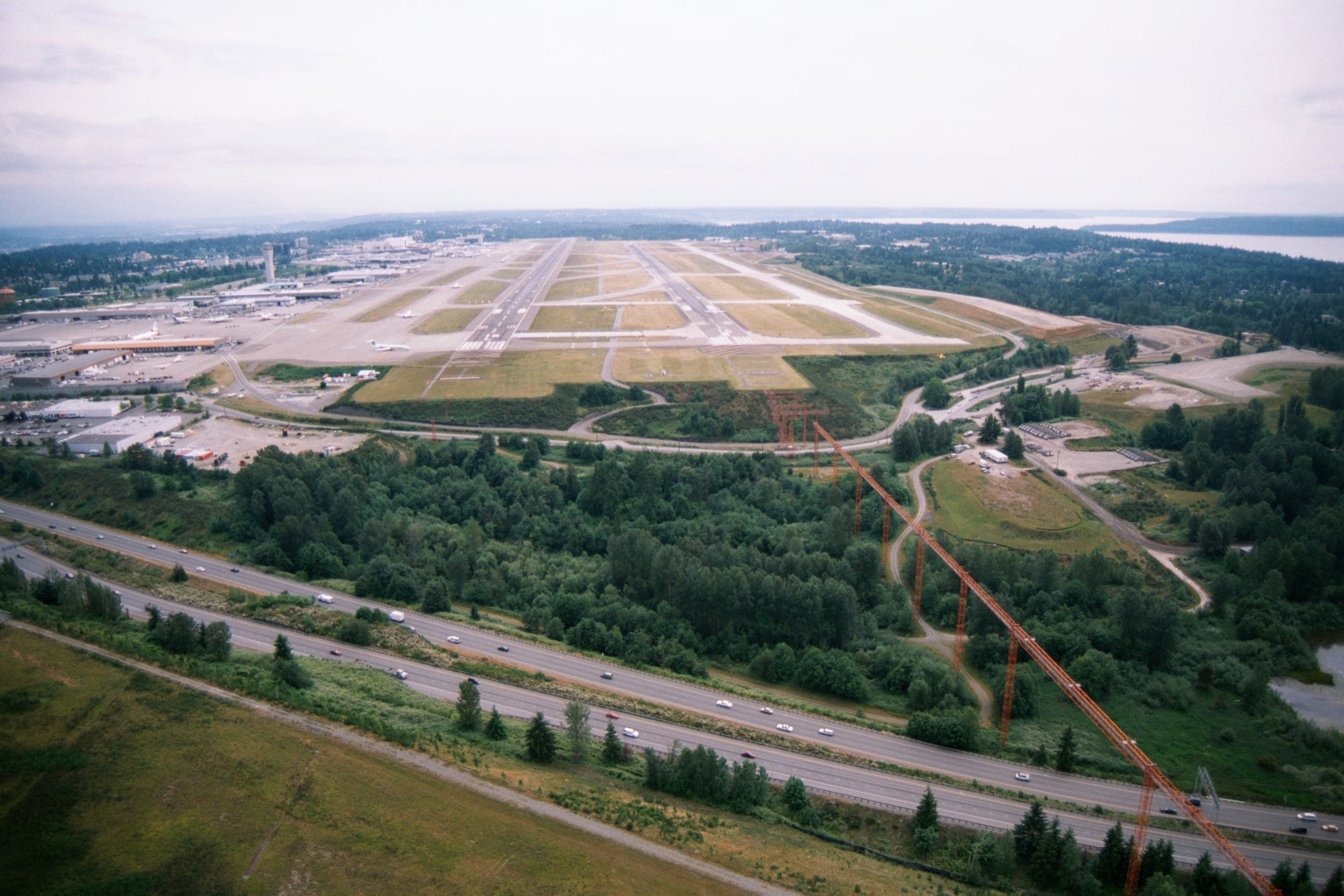
Aerial View of Sea-Tac Airport Showing Parallel Runways, Terminal Area, and I-5 Buffer Zone
Aerial photograph looking north toward Seattle-Tacoma International Airport, showing the parallel runway configuration, terminal and concourse area to the left, and what appears to be Interstate 5 in the foreground. High-voltage transmission towers are visible in the buffer zone between the highway and the airport perimeter, consistent with the known Sea-Tac noise and land-use buffer area on the south end of the airfield.