Tagnon-aviation transportation(43)
-
 2019-09-17
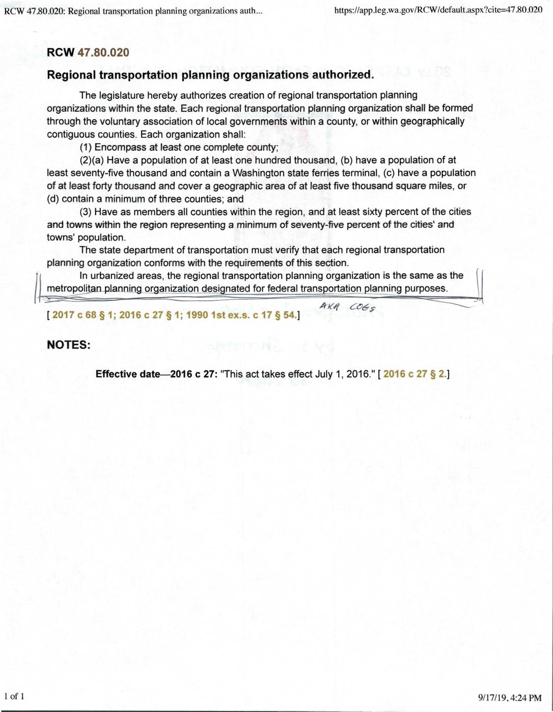
RCW 47.80.020: Regional transportation planning organizations authorized
Washington State law (RCW 47.80.020) authorizes the creation of Regional Transportation Planning Organizations (RTPOs), formed through voluntary associations of local governments within contiguous counties. Each RTPO must meet minimum population and geographic requirements, include all counties in the region, and have at least 60% of cities and towns representing 75% of the regional city/town population as members. In urbanized areas, the RTPO is the same body as the federally designated Metropolitan Planning Organization (MPO), also known as a COG. -
 2019-01-01
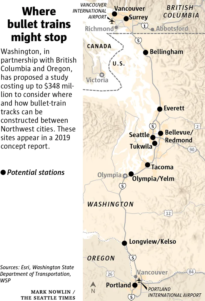
Seattle Times 2019 Concept Map of Pacific Northwest High-Speed Rail Stations
A 2019 concept map published by The Seattle Times (credit: Mark Nowlin) showing potential bullet train stations between Portland, Oregon and Vancouver, British Columbia, including stops at Seattle, Tacoma, Everett, Bellevue/Redmond, and other Northwest cities. The accompanying text notes Washington, in partnership with British Columbia and Oregon, proposed a study costing up to $348 million to plan high-speed rail infrastructure; sources cited are Esri, Washington State Department of Transportation, and WSP. -
 2018-09-01
Construction and Implementation Plan
Construction and Implementation Plan for the Puget Sound Gateway Program, prepared by the Washington State Department of Transportation (WSDOT) in September 2018. Covers SR 167 Completion Project and SR 509 Completion Project, including project phasing, construction stages, delivery method, funding sources (toll funding, local funding, grants), expenditure and sequencing plan, and community and stakeholder engagement. -
 2018-09-01
Construction and Implementation Plan
Construction and Implementation Plan for the Puget Sound Gateway Program, prepared by the Washington State Department of Transportation (WSDOT) in September 2018. Covers SR 167 Completion Project and SR 509 Completion Project, including project phasing, construction stages, delivery method, funding sources (toll funding, local funding, grants), expenditure and sequencing plan, and community and stakeholder engagement. -
 2014-03-25
South 200th Link Extension Briefing: Sea-Tac City Council Briefing
This March 25, 2014 Sound Transit briefing document, presented to the SeaTac City Council, outlines the South 200th Link Extension project—a 1.6-mile elevated light rail extension from the SeaTac/Airport Station to a new Angle Lake Station, including a parking garage. The project was scheduled for construction between 2013 and 2016, with a planned opening for service in Fall 2016, and carried a total budget of $383.2 million. -
 2001-06-22
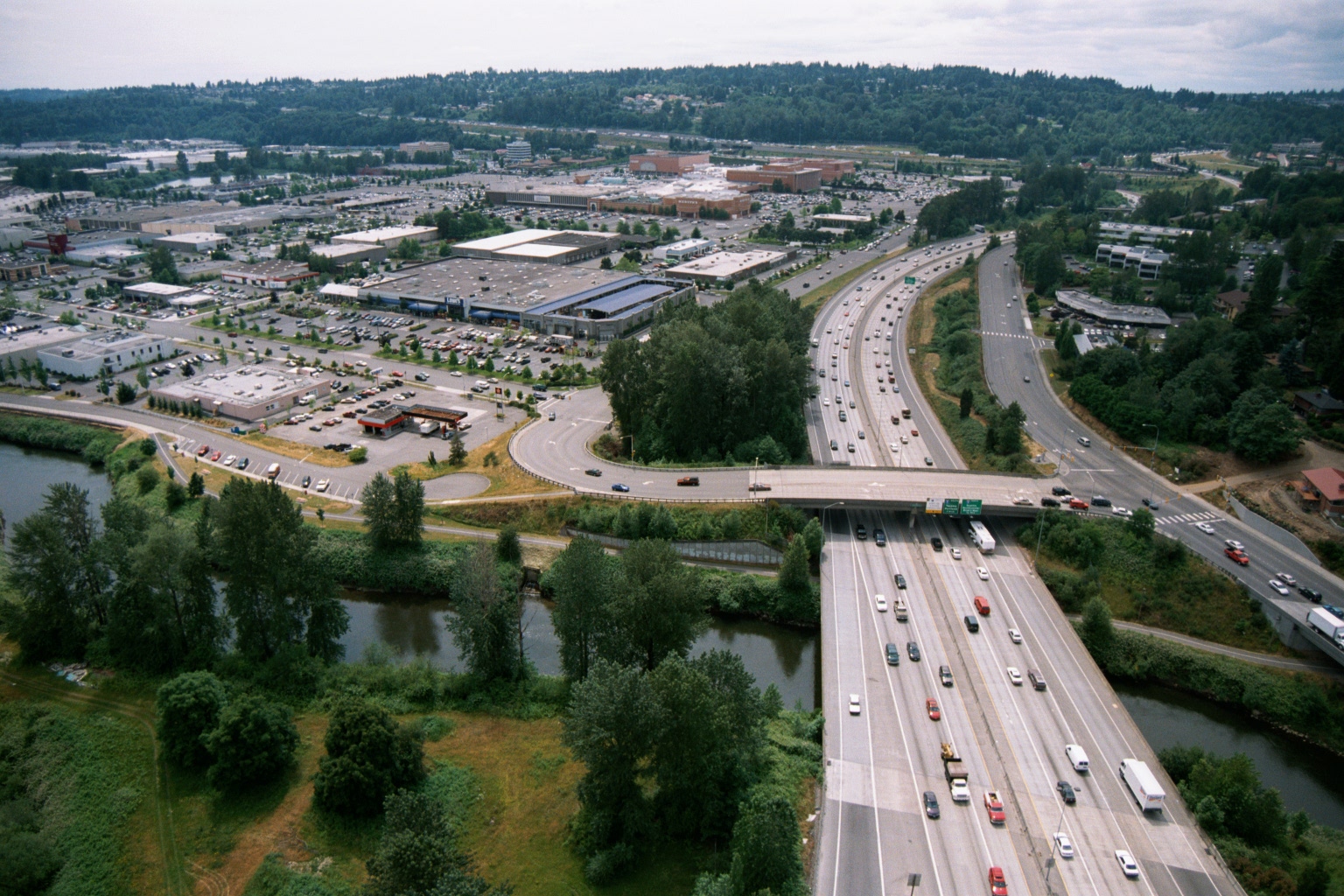
Aerial View of Interstate Highway Crossing River With Suburban Retail Center, Pacific Northwest
Aerial photograph showing a wide multi-lane interstate highway (visible green overhead directional signs) crossing over a river or waterway, with a large suburban retail shopping center and surface parking lots visible to the left. The setting appears to be the Pacific Northwest based on the dense conifer-covered hillsides and overall landscape character. -
 2001-06-22
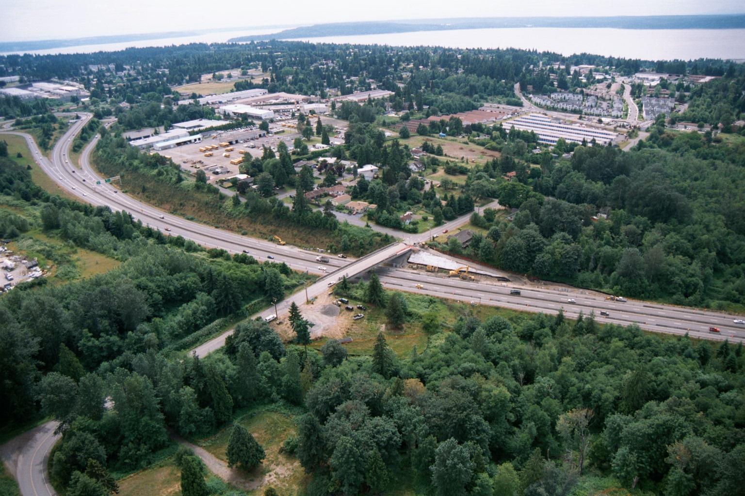
Aerial View of Highway Overpass Construction Near Puget Sound
Aerial photograph showing a multi-lane highway with an overpass bridge under active construction, surrounded by suburban development including what appears to be a school bus depot or transit facility. A body of water is visible in the far background, consistent with the Puget Sound region of Washington State. -
 2001-06-22
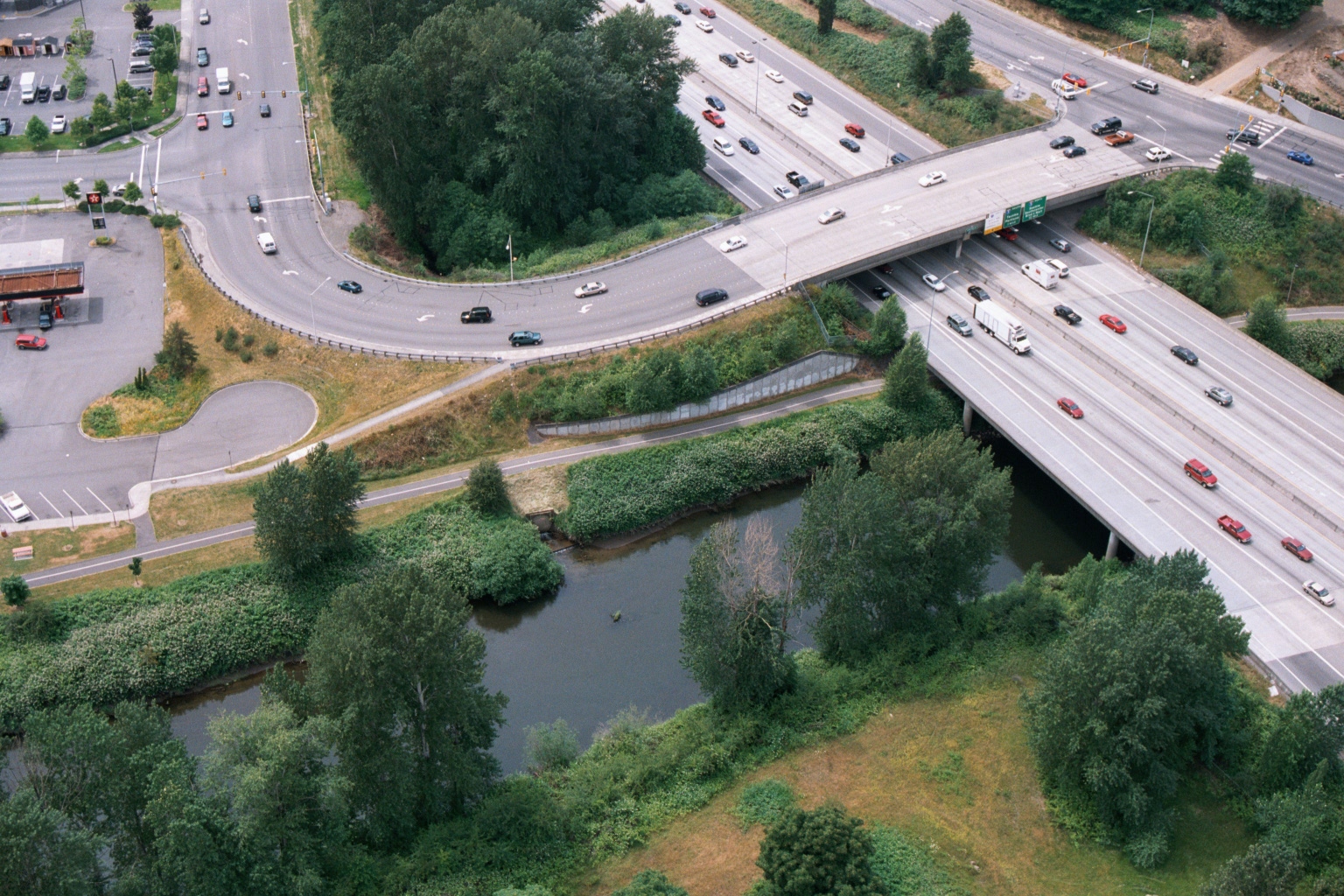
Aerial View of Freeway Overpass with Texaco Station and Riparian Vegetation, Greater Seattle Area
Aerial photograph showing a multi-lane freeway (appearing to be I-5 or a similar Pacific Northwest interstate) crossing over a small river or creek, with a surface street interchange, commercial parking lot with a visible Texaco station logo, and dense riparian vegetation below the overpass. The image appears relevant to transportation infrastructure documentation in the greater Seattle/Sea-Tac area. -
 2001-06-22
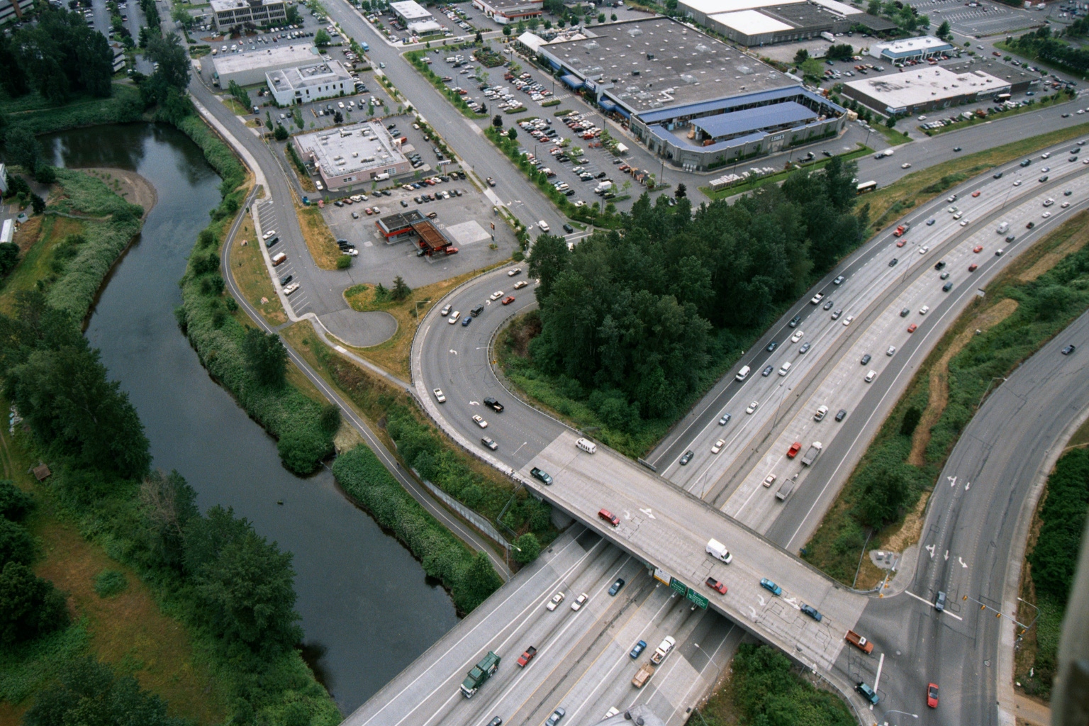
Aerial View of Multi-Lane Highway Interchange Near Commercial Area in Pacific Northwest
Aerial photograph showing a busy multi-lane highway interchange featuring an overpass bridge crossing a parallel road, with a river and green vegetation visible to the left. Commercial and industrial buildings with large parking lots are visible in the upper portion of the image, consistent with a suburban Pacific Northwest setting. -
 2001-05-24
Destination 2030: Metropolitan transportation plan for the central Puget Sound region
Destination 2030 is the Metropolitan Transportation Plan for the central Puget Sound region, developed by the Puget Sound Regional Council (PSRC) and adopted on May 24, 2001. It serves as a long-range regional transportation blueprint covering King, Kitsap, Pierce, and Snohomish counties, with input from dozens of member cities, counties, ports, and state agencies. The plan was funded in part through grants from the U.S. Department of Transportation, the Federal Transit Administration, the Federal Highway Administration, and the Washington State Department of Transportation.