TagNoise(262)
-
 2023-07-22
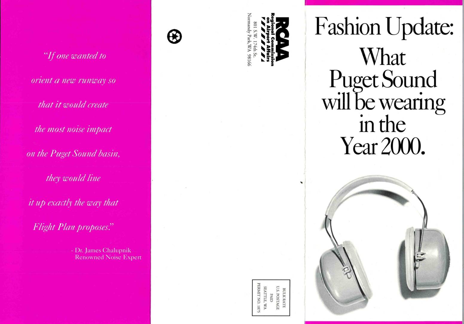
Fashion update: What Puget Sound will be wearing in the year 2000
This brochure, published by the Regional Commission on Airport Affairs (RCAA), argues against the Port of Seattle's 'Flight Plan' proposal to add a third runway at Sea-Tac International Airport. It highlights existing noise burdens on South End communities—where jet noise already averages 65 Ldn and reaches up to 105 decibels—and warns that the expansion would add 120,000 more flights annually by 2020, consuming 12% of residents' daily lives with jet noise. The document cites health experts and a renowned noise specialist, Dr. James Chalupnik, to advocate for alternative solutions such as remote airports and high-speed rail instead of expanding the urban airport. -
Noise could take years off your life. Here’s how.
We used a professional sound meter the din of daily life and talked to scientists about the health risks it can pose. Emily Baumgaertner, Jason Kao, Eleanor Lutz, Josephine Sedgwick, Rumsey Taylor, Noah Throop and Josh WilliamsJune 9, 2023 On a spring afternoon in Bankers Hill, San Diego, the soundscape is serene: Sea breeze rustles through the trees, and neighbors chat pleasantly -
How a little more silence in children’s lives helps them grow
NPR LA Johnson A group of small children sits cross-legged with their teacher, Steve Mejía-Menendez, on a round carpet. He’s a pre-K teacher at Lee Montessori Public Charter School’s campus in Southeast Washington, D.C., and although I’m here to meet him, I almost don’t spot him because he’s eye level with his students. Mr. Steve, -
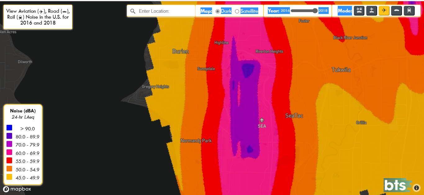
2018 Department of Transportation Noise Map near Sea-Tac Airport
A Bureau of Transportation Statistics (BTS) interactive noise map displaying 24-hour average sound levels (dBA, LAeq) around Seattle-Tacoma International Airport (SEA) for years 2016 and 2018, shown in aviation mode. The map reveals noise contours ranging from 45 dBA (yellow) to over 90 dBA (dark blue/purple), with the highest noise levels concentrated directly along the flight path corridor through communities including Burien, SeaTac, Highline, Sunnydale, and Normandy Park. -
 2023-04-28
The foundational elements of the Federal Aviation Administration civil aviation noise policy: The noise measurement system, its component noise metrics, and noise thresholds
The FAA is reviewing its civil aviation noise policy, which is based on decades-old research, to better address how aircraft noise affects communities near airports like Sea-Tac. The review examines noise measurement systems, acceptable noise thresholds, and the impact of aviation noise on residents—including annoyance, sleep disturbance, and health effects. Public and stakeholder input is being sought to help modernize the policy. -
2023-04-26
An underestimated danger: Noise and air pollution are new and important cardiovascular risk factors
Environmental stressors such as traffic noise pose a threat to human health worldwide. A study by DZHK researcher Prof. Thomas Münzel, published in the European Journal of Preventive Cardiology, shows that noise has negative effects on blood vessels and the brain within a very short exposure time. Other recent review articles co-authored by him show -
 2023-04-24
Projecting the health and economic burden of aircraft noise
This study projects the long-term health and economic costs of aircraft noise generated by the NextGen automated flight system, focusing on communities near Baltimore Washington International Airport. Using a mathematical simulation model, researchers estimated the impact of noise exposure on cardiovascular disease, anxiety, annoyance, and low birth weight over periods of 10, 20, and 30 years. The findings are intended to inform noise mitigation policies and provide a clearer picture of the public health consequences of modern air traffic management systems. -
 2023-04-24
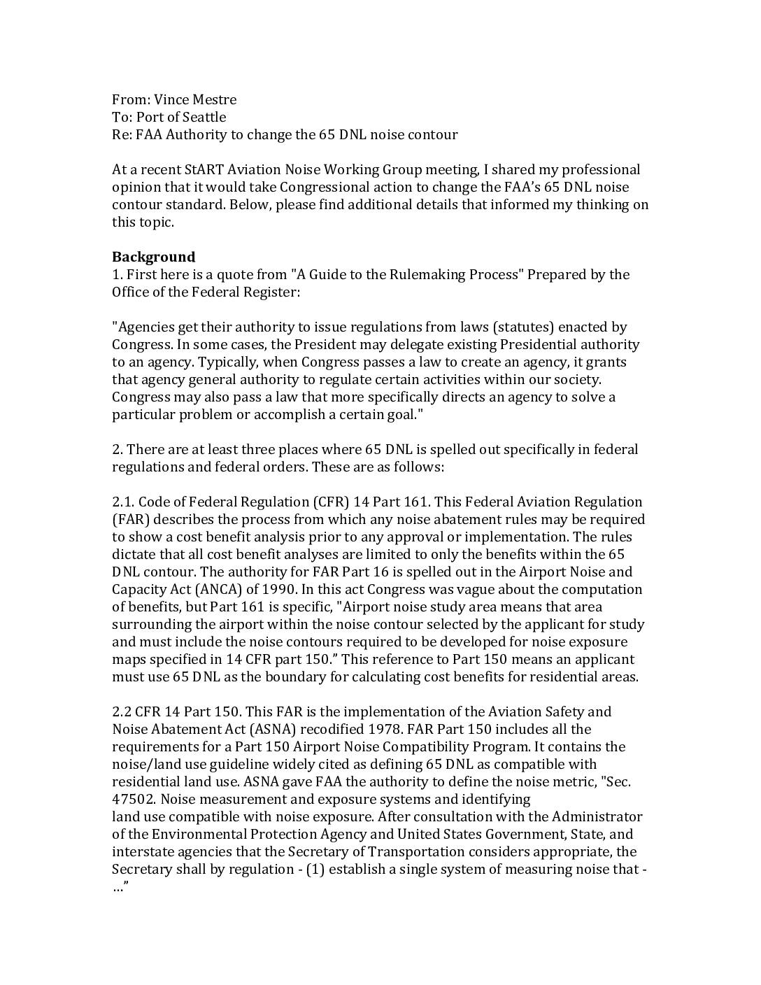
FAA authority to change the 65 DNL noise contour
Aviation noise consultant Vince Mestre explains to the Port of Seattle why changing the FAA's 65 DNL noise contour standard — the threshold used to determine acceptable aircraft noise near residential areas — would likely require an act of Congress rather than a simple regulatory update. The 65 DNL standard is embedded in at least three federal regulations and orders (CFR 14 Parts 150 and 161, and FAA Order 1050.1F), all of which trace their authority back to enabling legislation such as the Aviation Safety and Noise Abatement Act (ASNA) of 1978 and the Airport Noise and Capacity Act (ANCA) of 1990. Because the FAA's rulemaking authority is granted and bounded by those Congressional statutes, modifying ASNA would most likely be required before the FAA could formally lower or otherwise change the noise compatibility standard. -
 2023-04-14
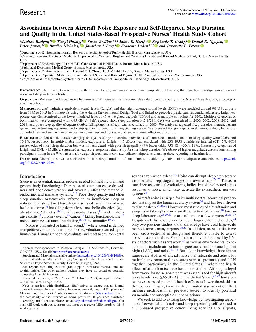
Associations between aircraft noise exposure and self-reported sleep duration and quality in the United States-based prospective Nurses’ Health Study cohort
A large study of over 35,000 female nurses across the United States found that exposure to aircraft nighttime noise levels at or above 45 decibels was associated with 23% greater odds of sleeping less than 7 hours per night. The research, which tracked participants living near 90 U.S. airports between 2000 and 2014, suggests that aircraft noise — including at levels below the federally regulated threshold of 65 decibels — may meaningfully disrupt sleep duration. Stronger effects were observed among residents in the Western United States and those living near major cargo airports, findings with direct relevance to communities around airports like Sea-Tac. -
 2022-12-05
The FAA’s 65 dBA DNL is not a safe noise exposure level for the American public
Academic paper presented at the 183rd Meeting of the Acoustical Society of America arguing that the FAA’s 65 dBA day-night average sound level standard is not safe for public health. The paper discusses how the EPA calculated safer levels at 55 dB for outdoor activities and 45 dB for indoor activities, and examines the non-auditory