TagAirport(197)
-
 2025-06-13
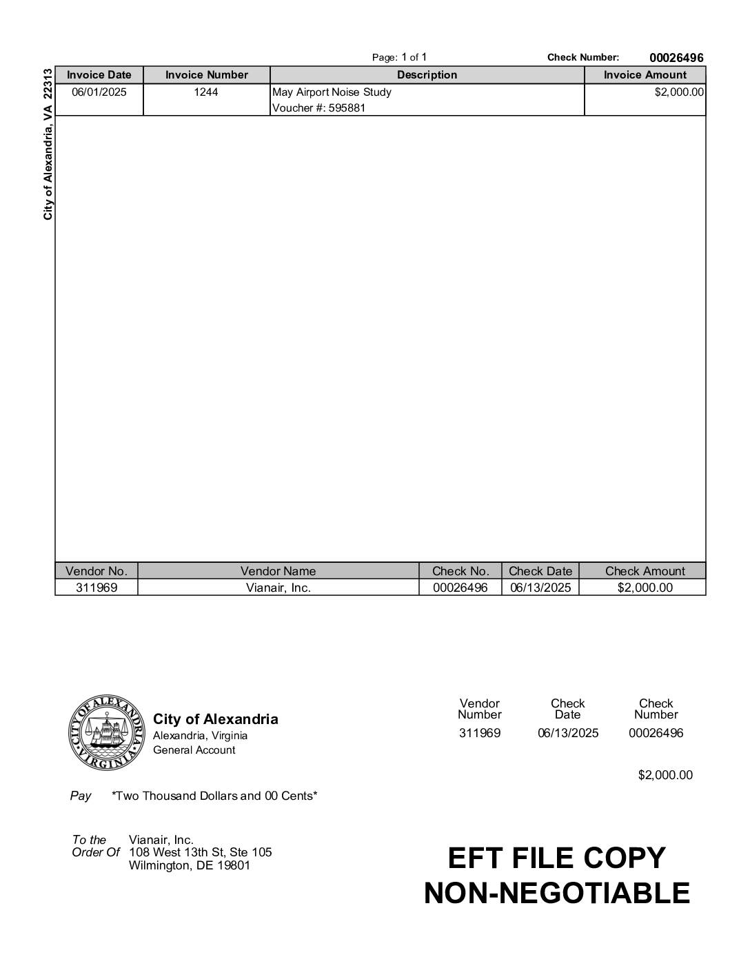
City of Alexandria EFT payment to Vianair, Inc. for May airport noise study
The City of Alexandria, Virginia issued a $2,000 electronic payment (Check No. 00026496, dated June 13, 2025) to Vianair, Inc., a firm based in Wilmington, Delaware, for services related to a May Airport Noise Study. The invoice, numbered 1244 and dated June 1, 2025, was processed under Voucher No. 595881 through Alexandria's General Account. Vianair, Inc. was engaged to conduct airport noise analysis on behalf of the city, reflecting ongoing municipal efforts to monitor and address aircraft noise impacts. -
 2025-06-07
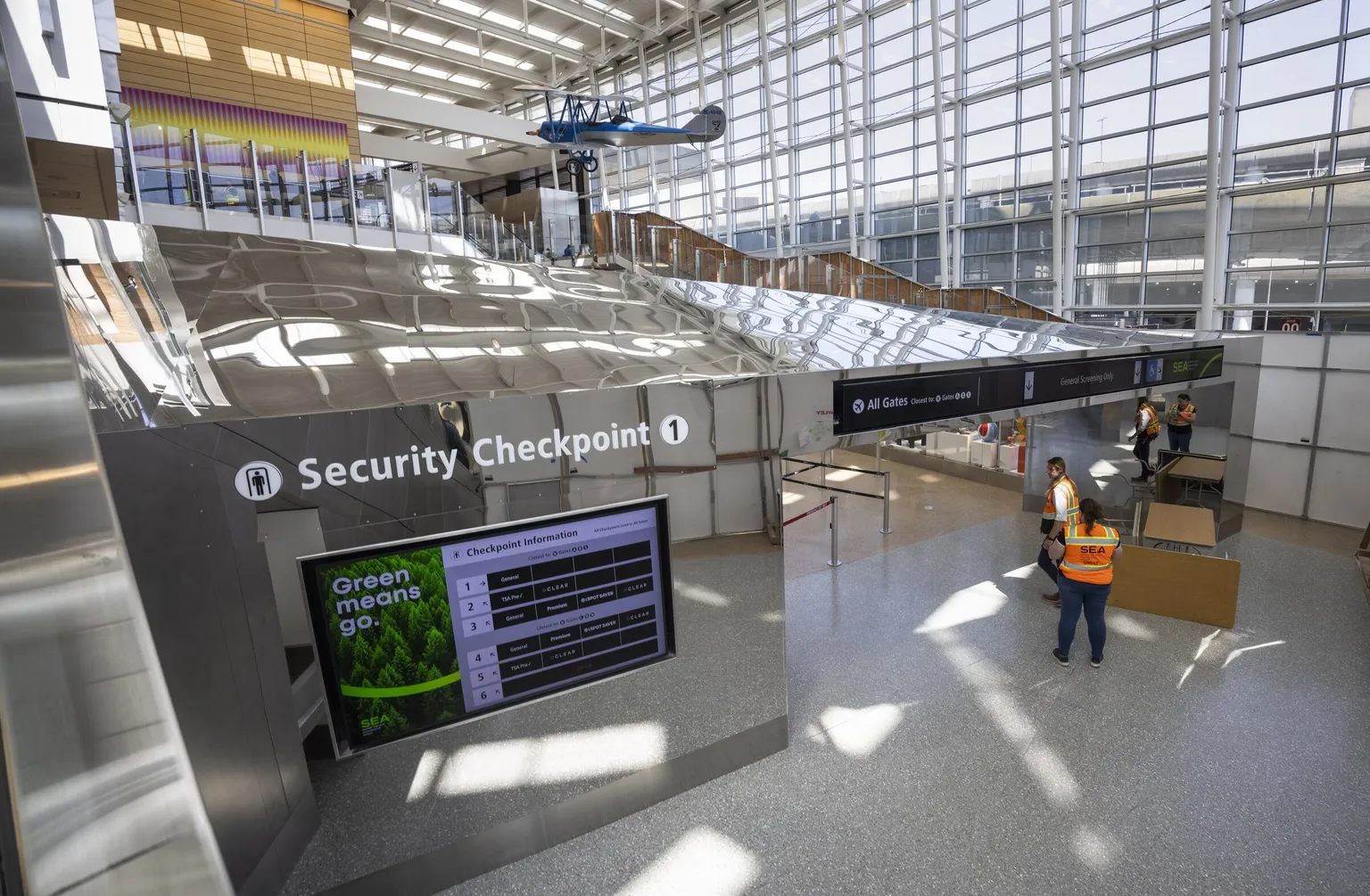
Security Checkpoint 1 at SEA Airport
Interior view of Security Checkpoint 1 at Seattle-Tacoma International Airport (SEA), showing a digital display board with checkpoint lane information and a 'Green means go.' message. Airport staff in orange SEA-branded vests are visible near the checkpoint entrance, with a historic blue biplane suspended from the ceiling in the background. -
 2025-05-17
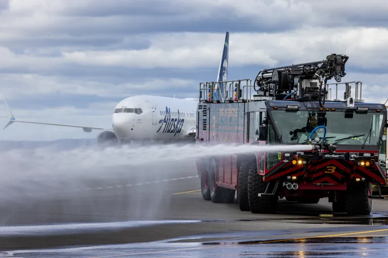
Airport Fire Truck De-icing Aircraft Operations
An Alaska Airlines Boeing 737 receives a water cannon salute on the tarmac at Seattle-Tacoma International Airport, performed by a Port of Seattle Airport Rescue and Firefighting (ARFF) Striker truck (Unit 3). Water cannon salutes are traditionally performed to commemorate special flights or aircraft retirements. -
 2025-04-07
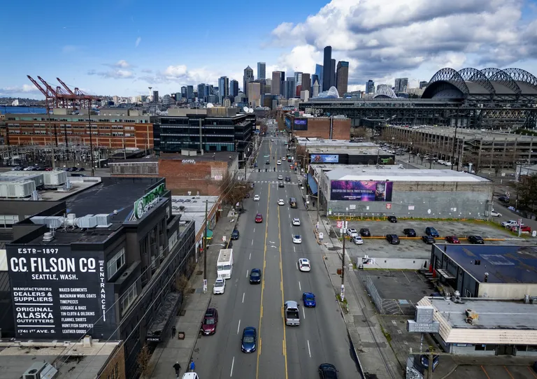
Seattle Skyline and Stadium District Aerial View
Aerial view looking north along 1st Avenue South in Seattle's SoDo neighborhood, with the C.C. Filson Co. building (Est. 1897, 1741 1st Ave S) visible at lower left and T-Mobile Park (Seattle Mariners stadium) visible at right. The downtown Seattle skyline and Puget Sound port cranes are visible in the background. -
 2025-04-07
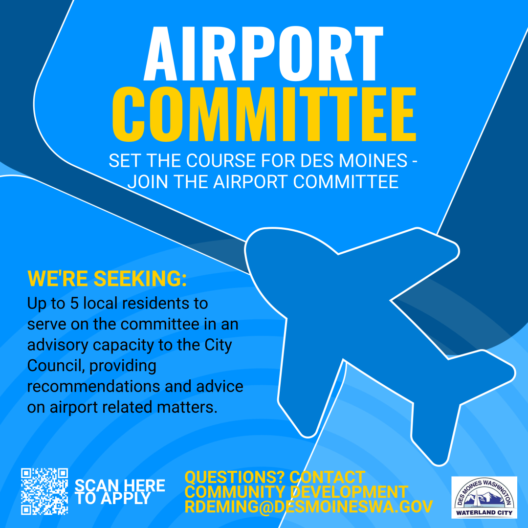
Airport Committee – Set the Course for Des Moines
The City of Des Moines, Washington (Waterland City) is recruiting up to 5 local residents to serve on its Airport Committee in an advisory capacity to the City Council, providing recommendations on airport-related matters. Applicants are directed to scan a QR code to apply or contact Community Development at rdeming@desmoineswa.gov with questions. -
 2025-02-21
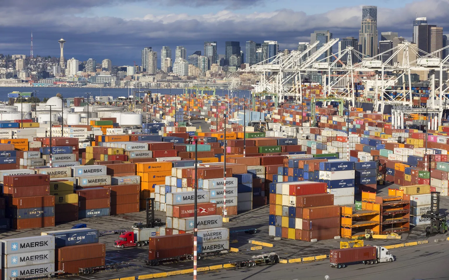
Seattle Port Container Terminal with City Skyline
Aerial view of the Port of Seattle's container terminal yard packed with intermodal shipping containers bearing visible logos including Maersk, Maersk Sealand, CMA CGM, Hamburg Süd, Hapag-Lloyd, MSC, and UASC. The Seattle skyline, including the Space Needle and a Ferris wheel (Seattle Great Wheel area), is visible in the background along Elliott Bay. -
 2025-02-14
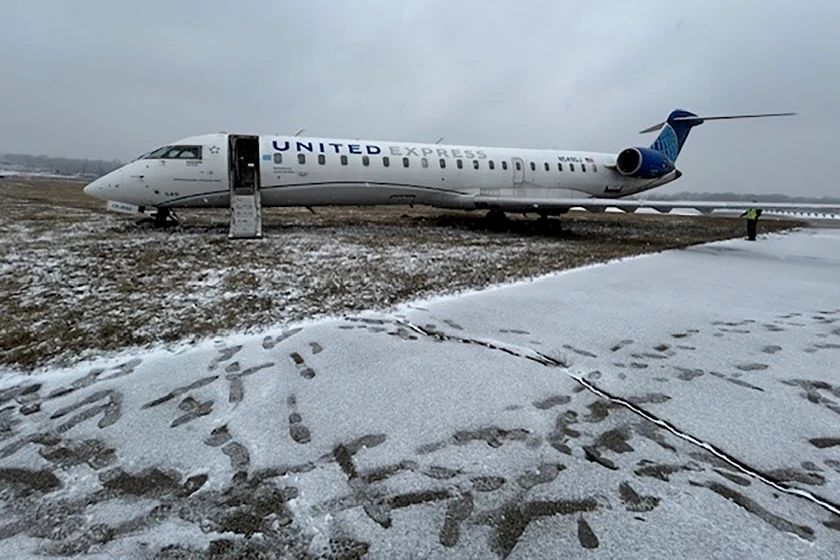
United Express aircraft off runway in winter conditions St. Louis
A United Express regional jet (CRJ series) is shown off the runway on a snow-covered grass area, with its forward door open and a ground crew member visible nearby. The aircraft bears United Express livery and branding; the incident appears to involve a runway excursion during winter weather conditions. -
 2025-02-11
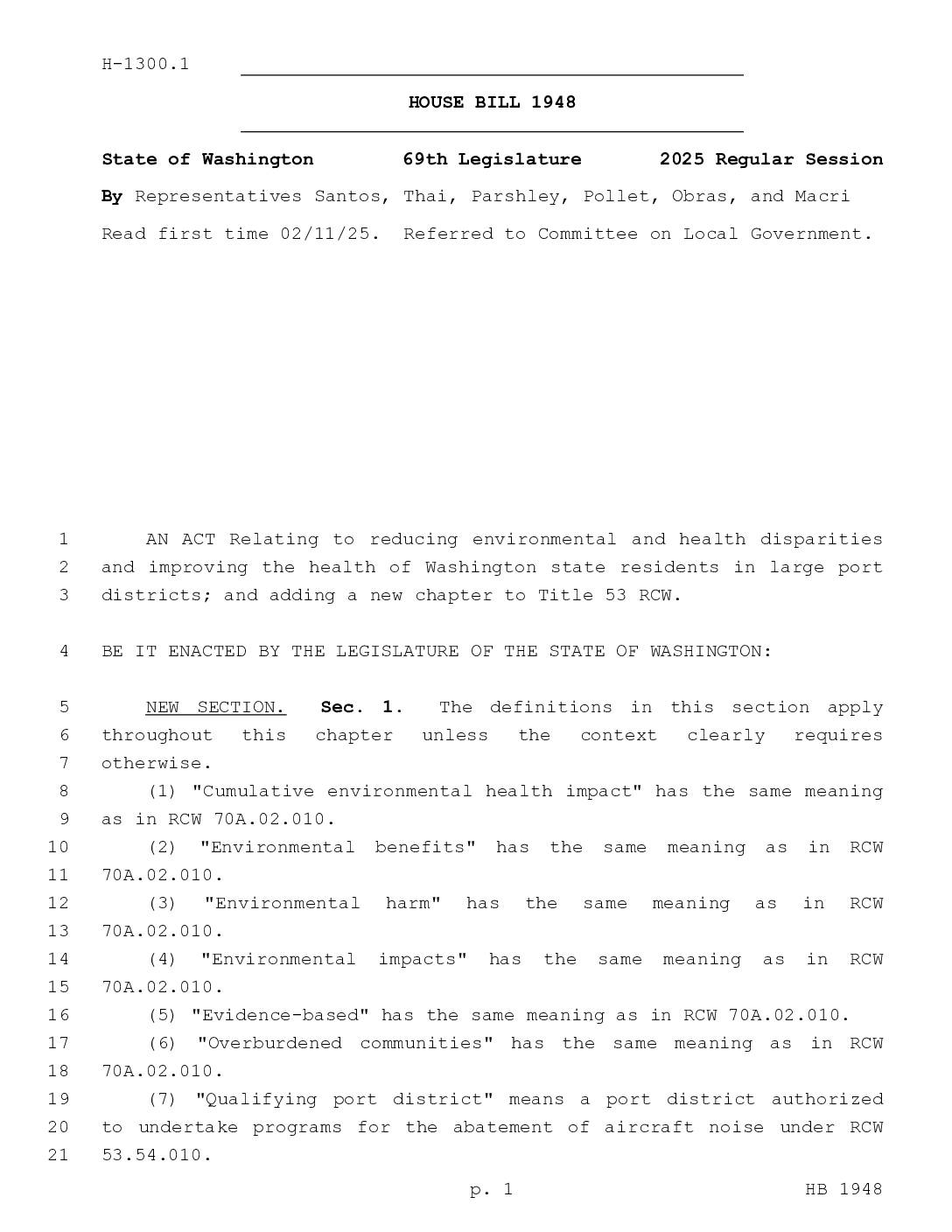
House Bill 1948 – Environmental Justice for Large Port Districts
Washington House Bill 1948 (2025) would require large port districts — such as the Port of Seattle, which operates Sea-Tac Airport — to develop environmental justice implementation plans and community engagement plans aimed at reducing health and environmental disparities for overburdened communities affected by airport noise and other port activities. The bill mandates that these plans include specific goals, measurable metrics, and outreach strategies to ensure meaningful participation from vulnerable populations, including people with limited English proficiency. Port districts would also be required to conduct environmental justice reviews for major capital projects valued at $8 million or more, or any action that increases the number of airport gates. -
 2025-02-05
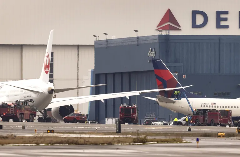
Airport Emergency Response with Fire Trucks and Aircraft
A Japan Airlines (JAL) wide-body aircraft and a Delta Air Lines regional jet (tail number N3737C) are shown on the tarmac at Sea-Tac Airport with fire trucks and emergency personnel responding. The incident occurred near the Delta and Alaska Airlines maintenance hangars at the airport. -
 2025-01-28
Port of Seattle Commission Regular Meeting
The Port of Seattle Commission held a regular meeting on January 28, 2025, at Seattle-Tacoma International Airport's Conference Center, covering routine business such as approval of meeting minutes, claims and obligations totaling over $101 million, and several collective bargaining agreements with airport workers. Key agenda items included a joint marketing agreement with Washington State Tourism worth up to $1.5 million to promote international tourism, as well as authorization for dredging project contracts and airline technical representative services. The meeting was open to the public both in person and virtually via Microsoft Teams.